 Portuguese
  English
  Spanish
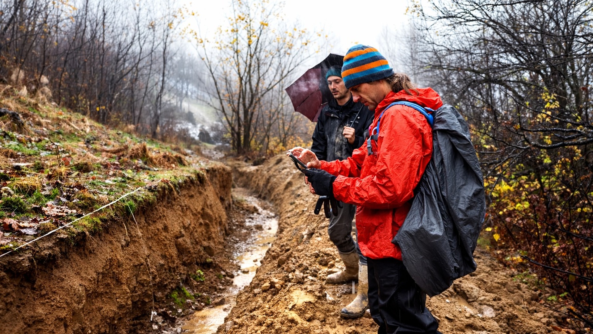


Discovery Of Geological Fault With 4-Meter Scarp And 3 Kilometers In Brzegi Expands Seismic History Of Podhale Region And Indicates Earthquakes Occurred Between 10,000 And 50,000 Years, Outside Modern Records And Recent Instrumental Catalogs.
An unknown geological fault has been identified near Brzegi in southern Poland, after scientists linked a 4-meter high scarp and 3 kilometers long to earthquakes that occurred between 10,000 and 50,000 years ago, expanding the regional seismic history.
Seismic Scars Expose Geological Fault In Southern Poland
Scientists associated a sudden rise in the ground to an underground fissure that opened at some point in the past. The discovery revealed that powerful earthquakes struck the area thousands of years ago, despite recent records indicating a calm, low-risk region.
Near Brzegi, a 4-meter high scarp extends about 3 kilometers across pastures, forming a sharp edge on the ground. By mapping this line, Dr. Piotr Kłapyta, a geomorphologist at the Jagiellonian University in Kraków, linked the feature to an unknown geological fault.
-
Motorola launched the Signature with a gold seal from DxOMark, tying with the iPhone 17 Pro in camera performance, Snapdragon 8 Gen 5 that surpassed 3 million in benchmarks, and a zoom that impresses even at night.

-
Satellites reveal beneath the Sahara a giant river buried for thousands of kilometers: study shows that the largest hot desert on the planet was once traversed by a river system comparable to the largest on Earth.

-
Scientists have captured something never seen in space: newly born stars are creating gigantic rings of light a thousand times larger than the distance between the Earth and the Sun, and this changes everything we knew about stellar birth.

-
Geologists find traces of a continent that disappeared 155 million years ago after separating from Australia and reveal that it did not sink, but broke into fragments scattered across Southeast Asia.

Kłapyta and his colleagues investigated hypotheses such as water action or landslides to explain the edge. However, they continued to observe signs of deeper ruptures, reinforcing the tectonic interpretation of the structure identified in the landscape.
The identification of the geological fault led the scientists to expand the seismic history of the Podhale basin beyond recent records. The analysis indicates that ancient events may have occurred without instrumental or documentary record.
Laser Maps And Geophysical Surveys Confirm Subsurface Discontinuity
Aerial laser maps allowed tracking the outline of the scarp through hills and creek cuts. Even where the slopes changed, the line remained straight and continuous, a pattern that common erosion rarely preserves.
Below the surface, geophysical surveys identified a sharp discontinuity directly beneath the visible edge. The tools scanned surface layers and revealed underground ruptures aligned with the scar on the terrain.
This data made the tectonic explanation the most suitable and motivated the decision to excavate. The team opened a paleoseismic trench along the scarp, close to Brzegi, to expose buried layers.
Inside the cut, sediment layers ended abruptly and resumed at another level, coinciding with a zone of underlying fault. Abrupt ruptures and irregular bands on the walls indicated shearing, not slow sliding of the slope.
A trench does not reveal all past earthquakes, but it can confirm sudden movements that crossed young sediments. The evidence reinforced the interpretation of ancient tectonic activity in the area.
Modeling Indicates Rupture Between 10,000 And 50,000 Years Ago
Without organic material allowing accurate dating, the team resorted to diffusion modeling. The mathematical method estimates the speed at which a sharp edge smooths over time.
The calculations indicated that the rupture occurred between 10,000 and 50,000 years ago, during the last ice age. As the method assumes a simple explanation for the formation of the edge, the exact timing remains uncertain.
The absence of ancient instrumental records limits the chronological reconstruction. Nevertheless, the presence of the geological fault demonstrates that the region experienced significant seismic activity in periods prior to modern monitoring.
Modern maps classify Podhale, near Slovakia, as a tranquil region due to the low number of recent earthquakes. However, seismographs have monitored this part of Europe for a relatively short time.
Written accounts expand the historical record, but do not mention tremors occurring before the growth of cities and the start of systematic information recording. Long intervals remain invisible to contemporary catalogs.
Seismic Catalogs May Omit Rare And Ancient Events
A catalog of earthquakes is built from instruments and may remain incomplete when damaging events occur centuries apart. By excavating trenches in active faults, scientists record earthquakes that never made it into modern records.
In paleoseismology, the study of earthquakes through geological traces, sediment layers indicate when a geological fault ruptured. According to Kłapyta, paleoseismic studies provide a more comprehensive assessment of geological risks.
The scar in Brzegi does not conform to the usual pattern that relates fault length and size of the surface rupture. Normally, longer faults produce larger ruptures, as stress spreads over a wide area during a large earthquake.
Slow sliding in weathered clay may accentuate the slope of a scarp over time. Thus, the visible scarp may overestimate the original movement. Still, the presence of the geological fault indicates accumulated energy.
A small fault reaching the surface may signal energy that modern monitoring would never capture during a person’s lifetime. The discovery expands regional understanding of rare seismic risks.
Regional Forces And Implications For Future Planning
The pressure resulting from the collision between the Alps and the Carpathians continues to compress Central Europe. Geological faults may react in distant locations under this tension.
Field mapping suggested that the Brzegi structure shifted laterally and downward, a combination that may shape drainage and slopes. In the basin north of the Tatra Mountains, northeast compression aligned the movement with nearby structures.
The connection between local rupture and regional forces helps scientists test what other hidden faults may be under similar tension. For risk planners, the scar proves that the ground may store evidence after the tremor.
New high-resolution maps allow examination of other valleys for straight edges and confirmation with targeted trenches. Each added ancient rupture to the record can alter how Poland assesses rare major earthquakes.
The discovery transforms a tranquil corner of southern Poland into a longer story, written in fragmented layers. More trenches and precise datings will have to indicate whether the geological fault ruptured once or repeatedly.
The study was published in the journal Geomorphology.


Se a Polonia manter os pés no chão e a cabeça sobre o pescoço jamais haverá terremotos no país, pois as bombas russas não apenas abrem crateras mas também causam enormes terremotos, maremotos, etc, etc.