 Portuguese
  English
  Spanish
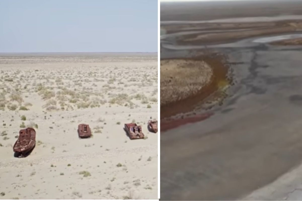
The Cocaral Dam, completed in 2005 in Kazakhstan, separated the Northern Aral from the Southern Aral and became a central piece to contain the water collapse, reduce salinity, and return water to the region.
By betting on a localized intervention, the project showed that a relatively short dam can have gigantic effects when positioned at the right point and integrated into a larger water control system.
The Cocaral dam entered history as one of the most emblematic works of environmental recovery linked to water engineering. Built in a natural narrowing of the former Aral Sea, it began to retain the water that still reached the northern basin and prevented that volume from continuing to disperse into an increasingly degraded area. The result was a concrete change in the lake’s behavior, salinity, and the local economy.
The case draws attention because the Aral Sea had already become a global symbol of environmental collapse. After decades of diverting the rivers that fed it for large irrigation projects, the former inland sea lost volume, saw its water drastically recede, and left fishing towns facing a landscape of salt, abandoned boats, and economic contraction. It was in this context that the dam began to represent a real turning point.
-
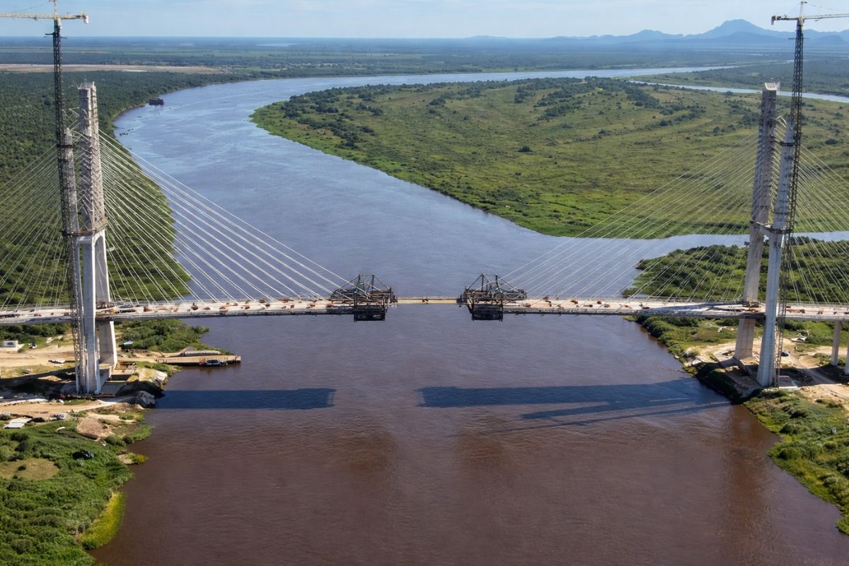
Only 46 meters remain for Brazil and Paraguay to connect via the Bioceanic Route bridge, the project that will link the Atlantic to the Pacific by land and change the logistical map of four countries in South America.
-
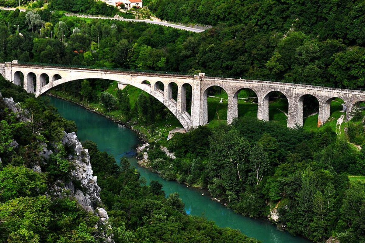
The bridge that holds the largest stone railway arch in the world: built over 100 years ago, destroyed in the war, and rebuilt to continue operating to this day, it still carries trains over the Soča River in Slovenia.
-
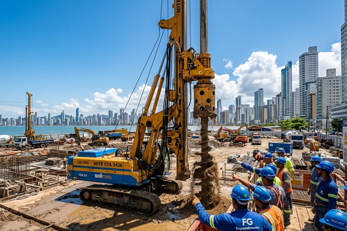
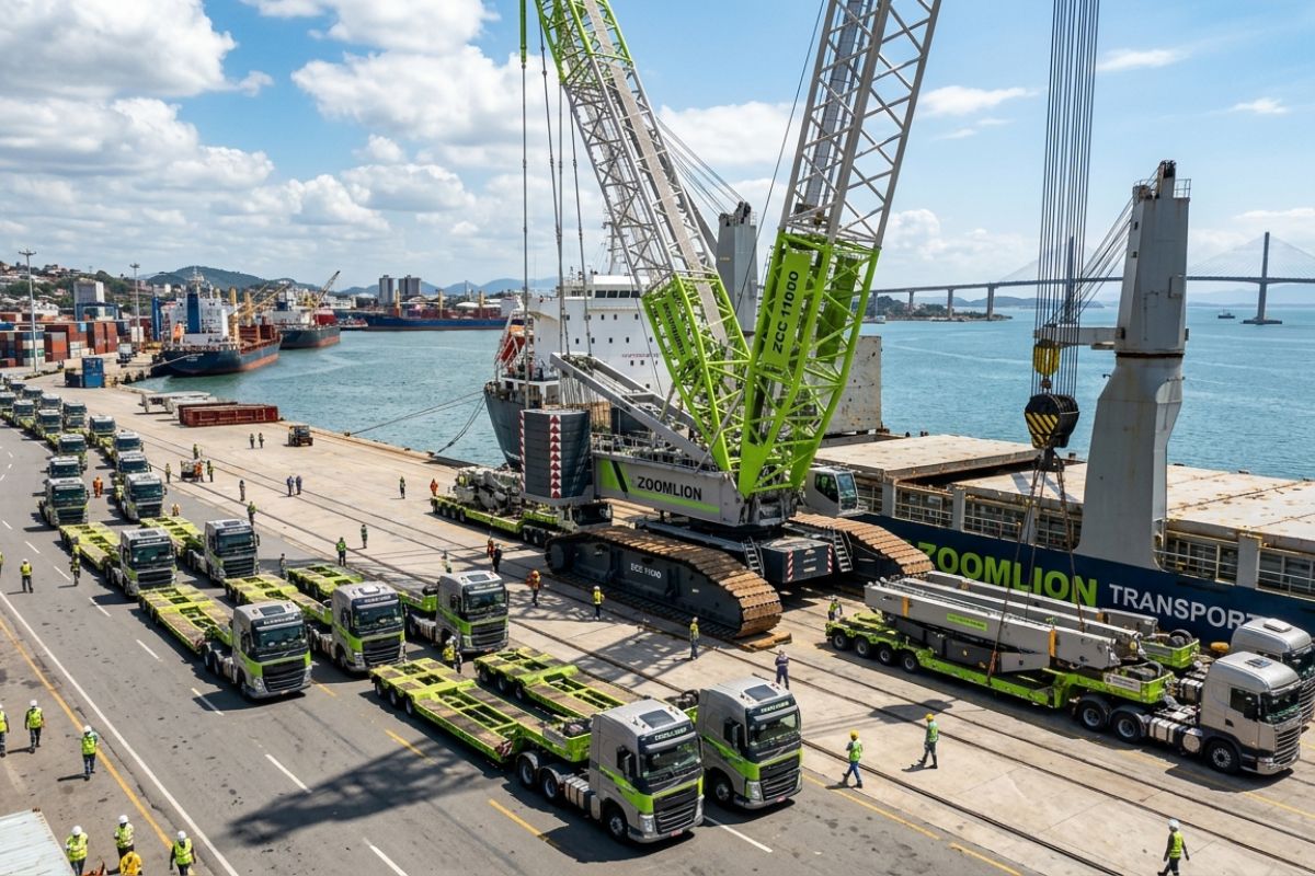
Italian giant of 130 tons arrives at the Senna Tower construction site and accelerates foundations: Mite CFA 3436 drills up to 50 m, 750 hp engine, investment of R$ 20 million, unique in Latin America.
-
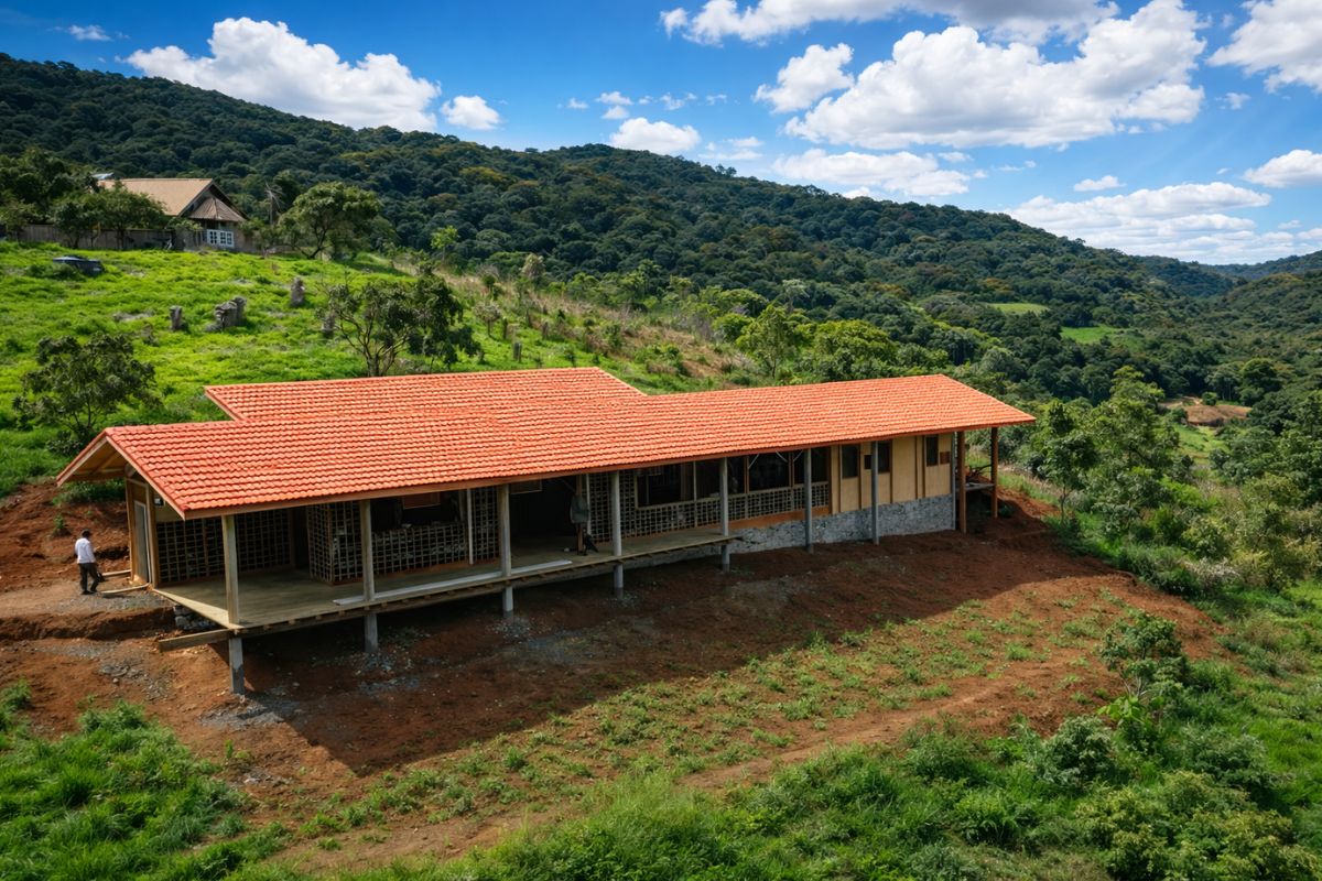
The adobe house in Monteiro Lobato takes shape with bamboo and clay from the land, a stone foundation, and a roof for the wind; cracks are normal, and finishing with lime turns it into a “common house.”

How The Aral Sea Collapsed
During the 20th century, the rivers that fed the Aral Sea were redirected by large agricultural irrigation systems in Central Asia.
The strategy sought to expand production, especially cotton, in arid areas. Initially, the model brought economic gains, but the hydrological impact accumulated over time.
With less water reaching the lake and with naturally high evaporation rates, the system’s balance was disrupted. The level of the Aral Sea began to fall rapidly, salinity increased, and the waterline moved away from areas that had previously relied directly on it.
Fishing ports lost function, towns were affected, and the collapse became a global reference for environmental disaster caused by poorly balanced infrastructure.
Why The Cocaral Dam Was Considered A Decisive Solution

The major strategic change occurred when the idea of recovering the entire former Aral Sea at once was abandoned. Instead, the project began to concentrate efforts on the northern part, which still received water supply from the Syr Darya River. This decision made the intervention more technically and operationally viable.
The Cocaral dam was built specifically to separate the Northern Aral from the Southern Aral. With this, the water that reached the northern sector stopped spreading over a large and shallow area, where evaporation compromised any more consistent recovery. The work did not try to save everything at once. It sought to stabilize what could still survive.
Where The Dam Was Implemented And Why The Location Was Strategic
The dam was installed at a natural narrowing of the former basin, at the point where the separation between the two bodies of water could be made with a structure relatively short for the scale of the problem. With about 13 km in length, the work took advantage of the local geography to maximize results and reduce complexity.
This choice was decisive because a shorter length meant less fill volume, lower implementation costs, and greater flow control efficiency. The strength of the project lay not in the gross size of the structure but in the precision of the point at which it was executed.
How The Dam Was Constructed
From a construction perspective, the Cocaral was executed as an earthen dyke, meaning a compacted earth dam designed to retain water in an old lake basin. Although this type of structure may seem simple from a distance, it requires delicate engineering decisions.
The bed of a receded sea tends to have fine sediments and compressible materials, which forces consideration of stability, infiltration, and settlement.
In a project like this, it was not enough to simply close off the flow of water. It was necessary to ensure that the body of the dam remained stable with the gradual rise of the lake’s level and the increasing water pressure over time.
The Dam Did Not Work Alone

One of the most important points of the project is that the Cocaral dam did not operate as an isolated barrier. It was integrated into a broader system of water control, with interventions associated with the river that feeds the Northern Aral and the delta of the region.
In practice, the dam held the water, but success also depended on efficiently delivering that water. Therefore, the project combined containment and regulation.
This integration between physical works and basin management was essential to transform recovery into a functional system, not just a pinpoint intervention.
What Changed After The Conclusion Of The Work In 2005
The completion of the dam in 2005 marked the moment when the recovery of the Northern Aral ceased to be a hypothesis and began to operate as a water reality.
According to the data mentioned in the video basis, the level of the Northern Aral rose from 38 to 42 meters, while the volume increased by 68% and salinity dropped by 50%.
The effects came in chain. With more retention, the lake gained volume and water returned to previously lost areas. The decrease in salinity favored the return of fish species, and fishing activity reacted.
The very distance between the city of Aralsk and the water decreased from about 75 km to around 20 km. The dam changed the water circuit and, in doing so, also changed the life of the region.
Recovery Of Fishing And Economic Reactivation
The improvement of water conditions had a direct reflection on the local economy. With the return of water and the reduction of salinity, fishing began to regain space. The cited basis states that annual fish production tripled, a data point that helps measure the practical dimension of recovery.
This effect is important because it shows that the dam did not generate just a visual or environmental result.
It produced economic impact, reduced distances, brought communities closer to water, and restored function to a region that had lost part of its productive base. When water returned, human activity also found support again.
Why A 13 Km Structure Had Such A Great Impact

Compared to other large coastal dikes in the world, the Cocaral may seem modest. However, the impact of the dam was much greater than its length suggests.
This happened because the work was designed to directly alter the water balance of an inland sea, and not merely to protect a coastal strip or reclaim land.
By separating the Northern Aral from the Southern Aral, the dam redefined how the river water began to circulate within the old basin.
It was a surgical intervention, positioned at the right hydraulic point, with the capacity to reorganize the entire behavior of the surrounding system.
The Volume Of Retained Water Helps To Measure The Transformation
The presented basis states that the Northern Aral now has approximately 27 billion cubic meters of water. This is a gigantic volume, restored thanks to a single engineering intervention combined with control of the regional water system.
This data reinforces the significance of the case. What was at stake was not just a margin of the lake or a localized area but the possibility of recovering a relevant water mass in a region deeply affected by decades of imbalance.
The dam showed that, in certain contexts, the right structure can produce disproportionately positive effects.
The Project Is Still Evolving
The story of the Cocaral dam did not end with the conclusion of the first phase. According to the video basis, Kazakhstan is working on new advances to further increase the water retention capacity in the Northern Aral.
Among the solutions being studied are raising the dam by up to 2 meters and constructing a new hydraulic complex.
The goal is to increase the volume of the lake, raise the water level, and broaden the economic and environmental benefits already observed. This includes lower salinity, more consistent recovery of fishing, reactivation of port activities, and improvement of conditions in the delta.
The case, therefore, continues as a process in development, not as a completed work in itself.
What The Cocaral Dam Teaches About Engineering And The Environment
The dam summarizes two faces of modern engineering. The first is the ability to profoundly alter natural systems, as happened when entire rivers were diverted and the Aral Sea collapsed. The second is the ability to use infrastructure more precisely to correct part of that impact.
The Cocaral did not restore the ancient sea in its entirety. This is clear from the case itself. But the work proved that a well-positioned dam, integrated with the basin’s functioning and supported by a consistent water strategy, can contain losses, recover water, and restore activity to an entire region.
In the end, the case of the Cocaral dam shows that engineering does not need to be gigantic to be transformative. Sometimes, what changes the fate of an entire landscape is a smaller intervention, provided it is planned accurately and operated in the right place.
Do you think that works like this should be used more to recover areas degraded by past infrastructure errors?


Seja o primeiro a reagir!