 Portuguese
  English
  Spanish
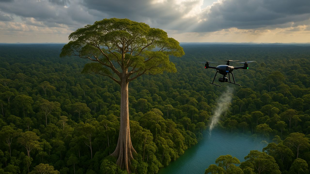
Brazilian Researchers Combine Drones, Sensors and Traditional Knowledge to Study and Protect in Real Time an Angelim-vermelho of 88.5 Meters.
The discovery of the tallest tree in the Amazon marked a new era of research. Brazilian scientists are now using innovative technology to monitor this giant. Drones and sensors create a “Jungle Internet”. The goal is to understand and protect this unique ecosystem in real time.
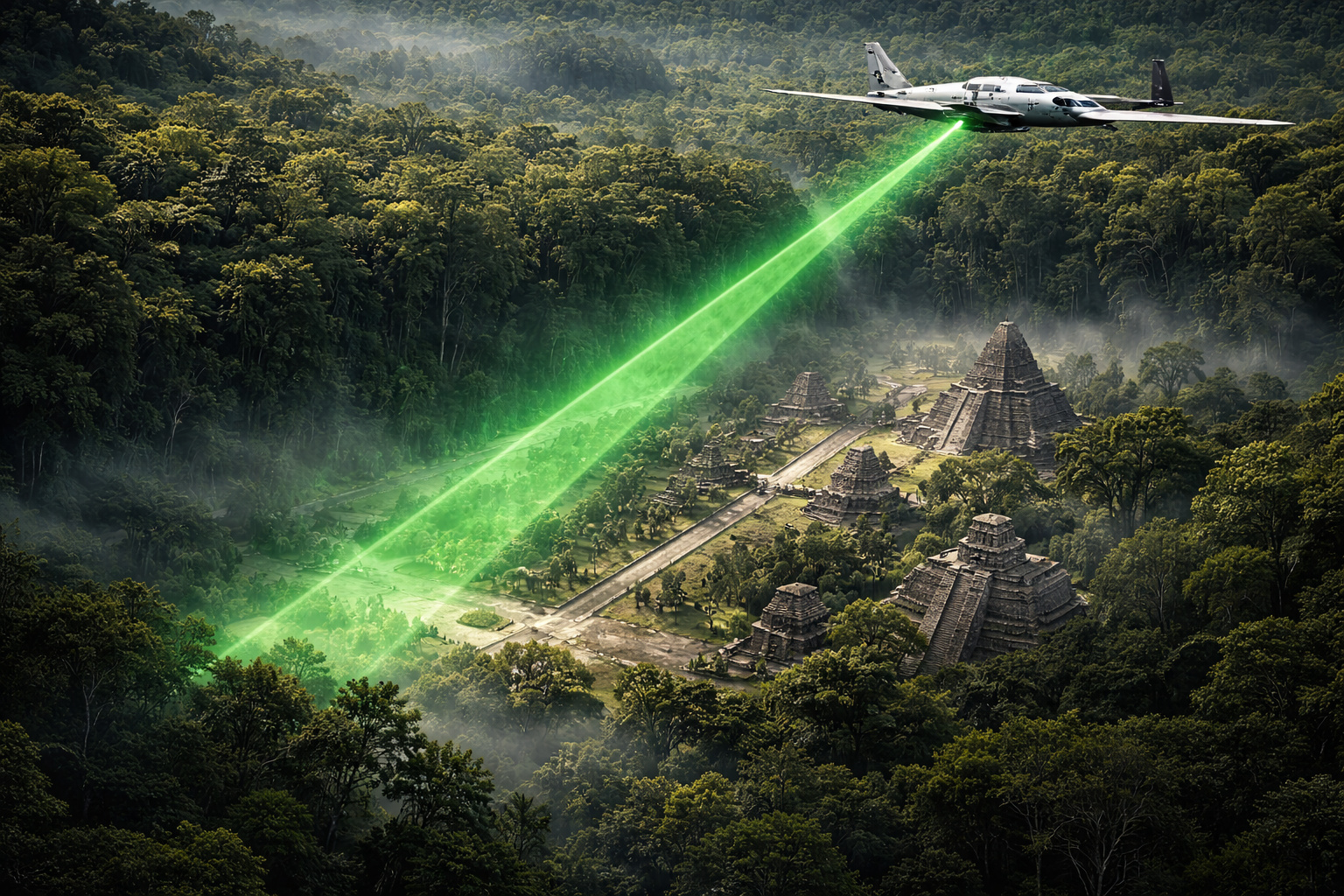
How a Ray of Light Revealed the Giant of the Forest
The tallest tree in the Amazon was not found by explorers on land. Its first identification came from beams of light. Between 2016 and 2018, the National Institute for Space Research (INPE) used LiDAR technology. The initial goal was to measure the forest’s carbon.
Laser pulses created an accurate 3D map of the vegetation. During analysis, researchers noticed an anomaly. They found trees that exceeded 80 meters in height. The most prominent individual, an Angelim-vermelho, was measured at an impressive 88.5 meters tall.
-
In 2016, a plane equipped with billions of laser pulses scanned 2,100 km² of jungle in Guatemala and revealed, beneath the tree canopies, a Maya megacity with 61,480 unknown structures, elevated roads spanning dozens of kilometers, industrial-scale irrigation systems, and a population of up to 15 million, three times more than any previous estimate.
-
Someone released 18 beavers in the upper Ebro River; it seemed like an isolated case, but no one knows who did it or how to stop their expansion, and now they have already reached Catalonia. And there’s a detail that changes the game: they can help restore rivers and even capture carbon.

-
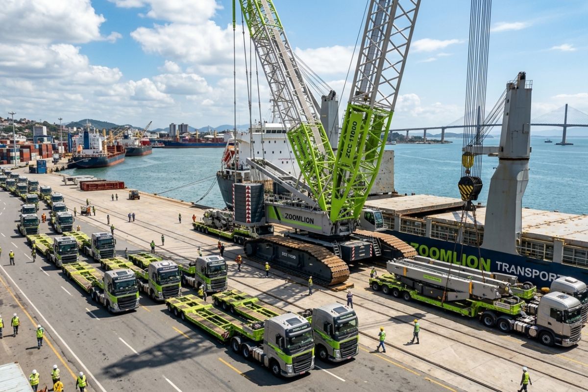
ZCC 11000 crane lands at the port of Vitória and heads to Ceará in a convoy with 64 trailers: Zoomlion, founded in 1992, builds a monster that lifts over 600 compact cars to 93 m.
-
The biggest drama of being born on Mars is not breathing: Rice biologist says that colonists’ children may cease to be Homo sapiens, shaped by low gravity, radiation, and isolation that divides humanity.


The Challenging Journey to the Tallest Tree
The LiDAR data provided the exact coordinates. But confirming the height of the tallest tree required an epic journey. Five expeditions over three years were necessary to reach the site. The research team traveled about 250 kilometers by river and then walked up to 30 kilometers through dense forest. The success of the mission critically depended on the knowledge of local community guides. At the site, scientists confirmed the height and collected leaf and soil samples for detailed studies.
High-Precision Eyes in the Amazon Sky
Traditional forest monitoring is slow, costly, and dangerous. Unmanned aerial vehicles (UAVs), or drones, have changed this scenario. They are faster, safer, and more economical than field teams or manned aircraft. Flying below the clouds, drones provide ultra-high-resolution images on a centimeter scale.
This technology allows for detailed monitoring of the canopy’s health. Drones can be equipped with special sensors, such as LiDAR and multispectral, creating a “digital twin” of the forest to track the health and growth of the tallest tree and its surroundings.
Sensors That Connect the Forest in Real Time
The real technological revolution in the project is the so-called “Jungle Internet”. This concept describes the fusion of drone monitoring with the Internet of Things (IoT). Small sensors, developed by Brazilian companies like Treevia, are attached directly to the trees. These devices measure crucial variables such as trunk diameter growth, temperature, and humidity.
The data is transmitted in near real-time via satellite. This data fusion is powerful. A drone can show stress in the leaves (the “where”). The sensor can reveal that the tree’s growth slowed weeks earlier, during a drought (the “when”). This allows scientists to connect cause to effect.
Technology in the Fight for the Survival of the Tallest Tree
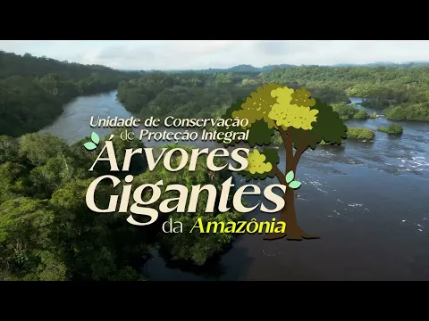
This advanced monitoring is not only for science. The area of the tallest tree, located in the Paru State Forest, faces severe threats. Illegal mining and deforestation are the main dangers. The same technology used for research is a powerful tool for conservation.
Drones can quickly detect the opening of illegal roads or clearings, allowing for a more agile response from environmental agencies. The attention generated by the discovery has been a catalyst for political action, resulting in the creation of the State Park of Giant Trees in 2024 to protect this sanctuary more rigorously.


Seja o primeiro a reagir!