 Portuguese
  English
  Spanish
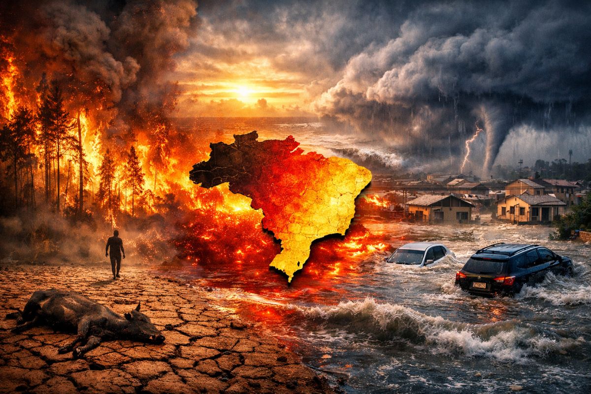


As Summer Ends, A Cold Air Mass Has Already Dropped Temperatures In The Central-South, But El Niño Might Turn The Tables In 2026: The Equatorial Pacific Tends To Warm Up Until May, Signaling More Persistent Heat And Redistribution Of Rainfall, With Very Different Risks By Region Throughout 2026.
El Niño Comes Into Play In 2026 As A Trigger For A Shift In Patterns, Not As An “Overnight Event.” The Transition May Be Underway Without Immediate Impacts, Because The Atmosphere Needs To “Respond” To Ocean Warming, And This Response Tends To Be Gradual.
In The Coming Months, Rainfall Behavior May Not Yet Reflect The Classic Pattern Associated With The Phenomenon, Even With Signs Of Warming In The Pacific. It Is Precisely This Combination, Ocean Clues And Delay In Everyday Sensation, That Confuses Many People And Increases The Risk Of Delayed Decisions In Sectors That Depend On Weather, From Agriculture To Energy And Disaster Management.
What Does It Mean For The Pacific To Warm Up “Until May” And Why Does It Matter
When The Equatorial Pacific Warms More Markedly, It Begins To “Push” The Atmospheric Circulation Toward A Different Arrangement Than Usual. It’s Not Just A Temperature Increase In The Water: It’s A Change In The Machinery That Organizes Winds, Rain Areas, And Front Trajectories Across Much Of The Planet, With Clear Reflections In South America.
-
Man builds functional 5-meter submarine in his garage using gas cylinders, PVC pipes, and a refrigerator motor, and navigates with the vessel on a lake in Colombia.

-
Millions of people have been eating yam for centuries without knowing that this humble tuber contains a compound called diosgenin, which scientists have now discovered can improve memory and help control blood sugar levels.

-
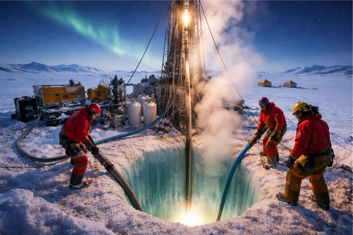
Scientists from an international project drill 1,800 meters of ice in Antarctica using hot water and discover details about one of the most intriguing places on planet Earth.
-
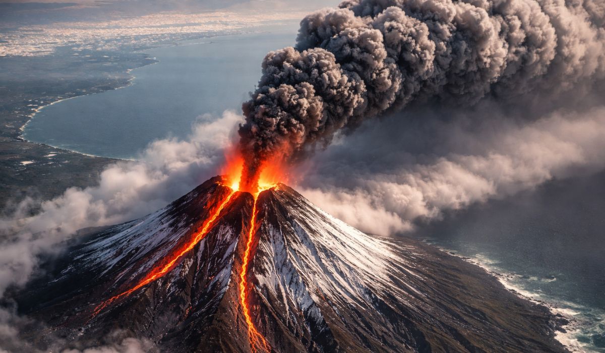
Seen from space, a colossal volcano nearly 5,000 meters high in Russia has released 1,600 km of smoke over the Pacific, forming “devil’s horns” of lava and revealing the brutal force of the Ring of Fire.

In Practice, “Until May” Works As A Window In Which Warming Can Be More Defined, Allowing The Event To Be Configured More Clearly.
From There, El Niño Is No Longer Just An Oceanic Signal And Stands A Better Chance Of Manifesting In The Weather Patterns In Brazil, Affecting The Persistence Of Heat And The Regional Distribution Of Precipitation.
Why Heat May Become More Persistent In 2026
The Sense Of Longer Lasting Heat Does Not Depend Solely On Temperature Peaks, But On How Long Warm Air Can “Hang On” For More Days, With Fewer Breaks From Frequent Influxes Of Cold Air. With El Niño, The Temperature Drop In Winter May Be Less Pronounced Than Normally Observed, Which Alters Routines, Energy Consumption, And Even The Calendar Of Outdoor Activities.
This Does Not Eliminate The Occurrence Of Cold Air Masses, Like The One That Has Already Dropped Temperatures In The South And Southeast, But It May Reduce The Frequency And Intensity With Which These Shifts Can “Clear” The Heat For Prolonged Periods.
In Cities, This Scenario Amplifies Thermal Discomfort; In Rural Areas, It Interferes With Planting Cycles, Water Demand, And Pressure On Reservoirs And Irrigation.
A “Redesigned Map” Of Rain: What Changes In Brazil When El Niño Takes Hold
The Central Point Of El Niño Is Redistribution: Some Areas Tend To Lose Rain, While Others Tend To Gain, And This Changes The Type Of Risk. It Is Not A Single Story For The Entire Country, Which Is Why In The Same Month, There Can Be Severe Drought Alerts In One Region While Another Experiences A Series Of Storms.
In The Projected Scenario For 2026 With Very High Intensity, The Trend Is For Reduced Rain In The North And Intensification Of Precipitation In The South. Between These Extremes, Nuances Arise: The Southeast May Face Moderate Increases In Temperature And Heat Waves; The Midwest May Have Less Pronounced Impacts Overall, But There Is A Possibility Of Rain And Above-Average Temperatures In Areas Such As Mato Grosso Do Sul.
North: Severe Drought And Wildfires As A Real Risk, Not An “Exception”
When Rain Decreases In The North, The Problem Is Not Limited To Lower Rivers Or Hotter Days. Severe Drought Dries Up The Fuel For Fires, Encouraging Rapid Spread Of Flames And Increasing The Risk Of Persistent Smoke Episodes, With Direct Impact On Health, Transportation, And The Functioning Of Services In Urban And Rural Areas.
Those Who Feel The Effects First Tend To Be Those Who Depend On The Land Daily: Rivers Communities, Populations Using Rivers As Routes, Farmers, And Workers Exposed To Drier Air And Smoke.
Additionally, The Reduction In Humidity Intensifies The Stress On Vegetation And Can Turn An Already Delicate Period Into A Season Of Wildfires That Are More Difficult To Contain, Requiring Preparation Of Brigades, Logistics, And Monitoring In Advance.
Northeast: Harsh Drought, Pressure On Water And Food Supply Chain
In The Northeast, The Abrupt Decrease In Rainfall And The Possibility Of Severe Drought Quickly Shift Risks, As Water Is The Most Sensitive Factor.
Harsh Drought Shortens Safety Margins In Reservoirs, Pressures Supply Systems, And May Precede Restriction And Prioritization Measures, Especially Where Recharge Depends On Regular Precipitation Events.
The Effect Also Appears In Price And Supply: With Less Rain, The Dependence On Irrigation Increases, Production Costs Climb, And Soil Management Becomes More Critical To Retain Moisture.
In Rural Areas, The Decision To Plant Becomes A Gamble: Planting Too Early May Result In Losses Due To Lack Of Rain; Waiting Too Long May Shorten The Cultivation Window.
In This Type Of Scenario, Preparation Involves Water Planning, Choosing More Resilient Cultivars, And Paying Attention To Regional Bulletins.
South: More Frequent Storms, Intense Rain, And Cascading Urban Risk
In The South, The Expectation Is For Intense And Frequent Rain, Along With Rising Temperatures. More Rain Does Not Mean “Good Weather For Everyone”: The Risk May Shift To Flooding, Flash Floods, Landslides, And Overloaded Urban Drainage, Especially When Rain Comes Concentrated In A Few Strong Events.
This Type Of Pattern Also Tests Infrastructure And Municipal Planning. Already Saturated Soil Loses Its Ability To Absorb New Episodes, And Each New Round Of Rain Finds Rivers Responding More Quickly.
For Those Living In Slopes Or Near Watercourses, The Difference Between “Heavy Rain” And “Dangerous Event” May Be The Sequence: Repeated Storms In A Short Interval Increase Risk Even When An Isolated Episode Would Not Be Sufficient To Cause Greater Damage.
Southeast And Midwest: Heat, Heat Waves, And Less “Obvious” But Relevant Impacts
In The Southeast, The Highlight Is The Moderate Increase In Temperatures And The Possibility Of Heat Waves. The Most Important Effect May Be The Persistence, With Several Consecutive Days Above Comfort Levels, Which Increases Energy Consumption, Aggravates Urban Heat Islands, And Puts Pressure On The Health Of Vulnerable Groups, Such As The Elderly And People With Respiratory Diseases.
In The Midwest, The Reading Is More Subtle: The Effects May Not Be As Pronounced Overall, But There Is Still Room For Rain And Above-Average Temperatures In Specific Areas, Such As Mato Grosso Do Sul.
This Detail Matters Because The Region Already Deals With Rapid Extremes, And Small Changes In The Balance Between Heat And Rain Alter Agricultural Windows, Wildfire Risks, And Soil Management Planning.
Why “Not Feeling It Immediately” Is Not A False Alarm
One Of The Most Common Traps Is To Expect “El Niño’s Face” To Appear Instantly. The Ocean Can Signal Before The Atmosphere, And Daily Life Takes Time To Reflect The New Pattern.
This Is Particularly True When There Is Still Alternating Air Masses And When Natural Weather Variability Masks Trends Over Short Periods.
Therefore, The Safest Reading Is To Follow Signs Of Consistency: Clearer Warming In The Pacific, Repetition Of Regional Patterns, And Changes In Heat Persistence.
In Brazil, This Means Observing Not Only “If It Rained,” But How It Rained, How Often, With What Regularity, And How Temperature Behaved Over Weeks, Not Just On A Specific Weekend.
The Projected El Niño For 2026 With Very High Intensity Puts Brazil In A Scenario Of Contrasts: Severe Drought And Wildfires In The North, Harsh Drought In The Northeast, And Frequent Storms In The South, With More Persistent Heat And Impacts That May Gradually Appear.
Understanding This Logic Of Redistribution, And Not A “Single Effect,” Is What Separates Surprise From Preparation.
I Want To Hear From You: In Your City, Have You Noticed Changes In Rain Patterns Or Heat Persistence In Recent Months?
Share Where You Are From And What Has Changed In Your Daily Life, As These Local Differences Help To See, In Practice, How El Niño Can Redesign The Country’s Map.


Falando em relação ao sudeste, isso praticamente significa que não teremos inverno. Meu Deus, ninguém aguenta mais calor!
Bom dia,esses cientista, ficar falando do nordeste, que vai ter pouca chuva pô causa do el nino. No que esse cientista falar eu não acredito. Eles fica inventando essas coisas pq não sabe de nada. Então eu digo cientista vcs tem o que olhar às coisas direito pra depois falar. Não fica falando isso para nordeste. Vão procurar o que fazer em pesquisa.
Informações importantes e muito claras para saber o que acorrerá em cada região do Brasil. Um alerta para que o poder público e agricultores fiquem atentos aos acontecimentos que virão