 Português
  Inglês
  Espanhol
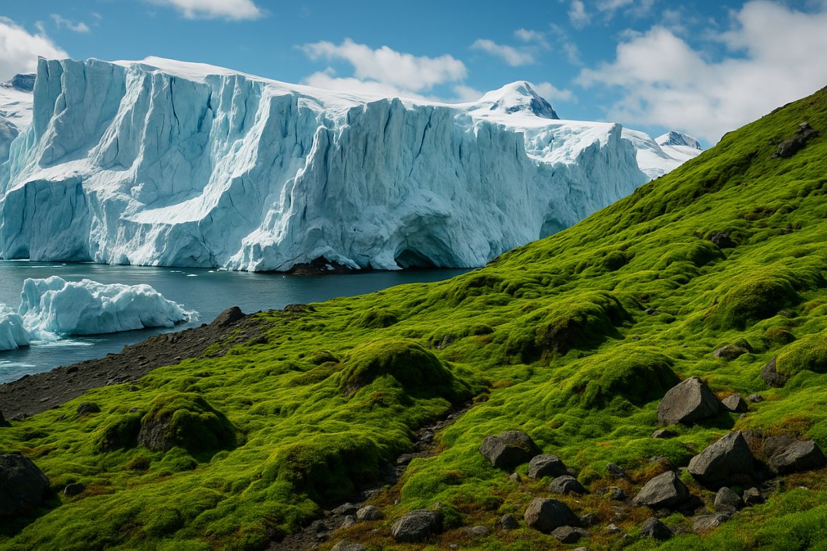
New Research from MapBiomas Shows That Antarctica Now Has 107 Thousand Hectares Without Ice, With Mosses and Algae Occupying Areas That Were Previously Frozen, and Experts Warn That This Greening Alters Cold Fronts, Affects Rain in Brazil, Pressures Agriculture, and Threatens Life in the Southern Ocean on a Global Climate Scale.
Antarctica, historically seen as a continent of almost permanent ice, is becoming greener and more exposed. A groundbreaking study by MapBiomas reveals that approximately 107 thousand hectares of Antarctica are now ice-free, which represents about 1 percent of the territory with expanding vegetation.
These changes, directly linked to global warming, are not confined to the southernmost part of the planet. According to scientists, the new image of Antarctica has a direct impact on the climate of the southern hemisphere, alters the frequency of cold fronts, interferes with the rain that reaches Brazil and South America, and is already putting pressure on agriculture and the marine food chain.
Greener Antarctica: Mosses and Algae Occupy Areas That Were Previously Frozen

The survey analyzed satellite images between 2017 and 2025 and is the first to detail, on a continental scale, how the ice-free areas of Antarctica are transforming.
-
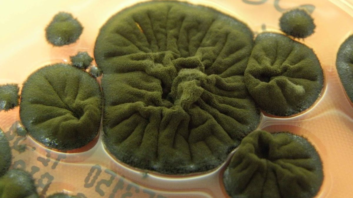
Found in one of the most radioactive places on Earth, this Chernobyl fungus may be doing something with radiation that no one has been able to explain to this day.
-
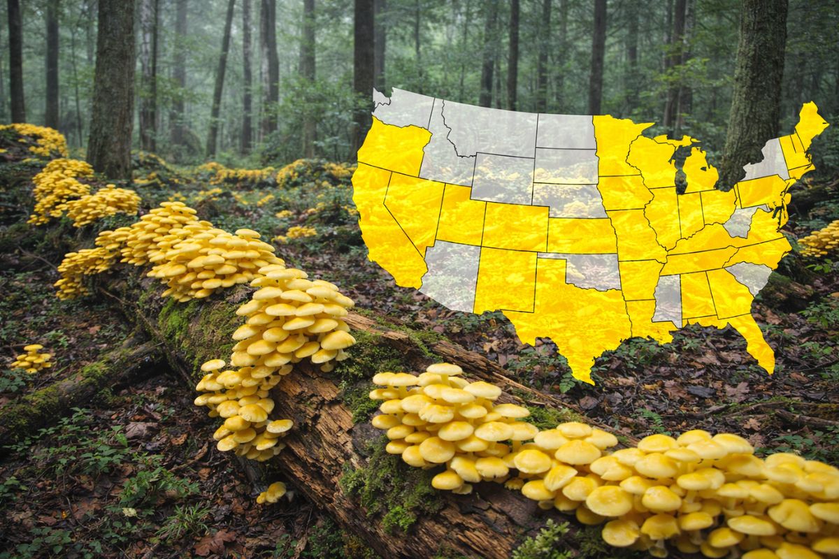
A bright yellow mushroom imported from Asia escaped from a cultivation farm in the United States in 2010 and is now aggressively spreading across 25 states, destroying entire communities of native fungi in American forests.
-
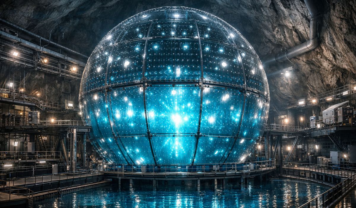
Buried under China, a colossal machine weighing 20,000 tons began operating as the largest neutrino detector on the planet and, in just 59 days, surpassed results that science took half a century to achieve.
-
Iran enters the center of a climate alert after the war emitted 5.6 million tons of CO2 in two weeks, surpassing the annual pollution of entire countries.

To identify ice-free zones and map vegetation, the team utilized data from Sentinel 2 satellites, specific algorithms, and an index capable of detecting photosynthesis activity.
The results show that mosses, lichens, and algae are colonizing regions that remained frozen for centuries.
According to scientist Eliana Fonseca, coordinator of the study, the expansion of vegetation in Antarctica is directly associated with global warming, which has been raising average temperatures and altering the behavior of ice and snow.
Global Warming Accelerates Melting and Favors Vegetation
According to Eliana Fonseca, higher temperatures cause ice and snow to melt more rapidly, which increases the availability of liquid water as early as the start of the Antarctic summer.
With more water on the surface and the soil exposed for longer periods, vegetation can expand into areas where it previously could not establish itself.
The researcher notes that regional studies had already indicated a greening process, especially on the islands closest to the Antarctic Peninsula.
On the South Shetland Islands, for example, areas that previously received mainly snow have begun to register increasing amounts of liquid rain, a clear sign of changing precipitation patterns. This trend, which is also observed in Greenland, points to rapid transformations in environments considered extreme.
Vegetation in Antarctica Acts as an Environmental Thermometer
In a continent with a minimal number of plant species, the presence and advance of vegetation act as a true environmental thermometer.
For Eliana Fonseca, a consistent increase in vegetation cover in Antarctica means that environmental conditions are changing rapidly and profoundly.
These signals are not just scientific curiosities. They reinforce the understanding that Antarctica is responding directly to global warming and that the melting and greening of the continent are central pieces to understanding the future of climate, rainfall, and environmental stability in the southern hemisphere.
Southern Hemisphere Climate and Rain in Brazil Are Already Feeling the Effects
The transformations in Antarctica are not confined to the icy continent. The location is described by experts as a global climate regulator, with a decisive influence on the southern hemisphere.
The temperature differences between Antarctica and the nearby regions help move energy from the Equator toward the poles.
These energy flows generate cold fronts that regulate temperatures and rainfall patterns in much of the southern hemisphere. According to the researcher, the alteration of these dynamics is related to the decreased frequency of cold fronts reaching Brazil and South America, which directly affects rainfall regimes and, consequently, Latin American agriculture.
Fewer cold fronts, combined with warmer and drier periods, can pose greater risks for crops and food security in the region.
Southern Ocean, Krill, and Whales at Risk Due to Changing Antarctica
The melting of sea ice and warming waters in the Southern Ocean also impact the base of the marine food chain.
The production of krill, a small crustacean that serves as food for whales, depends on cold water and the presence of ice, which harbor the algae that krill feed on.
Reports of decreased krill production in the region are already worrying researchers at MapBiomas. Less krill means less food available for whales and other animals, which could create imbalances throughout the ecological chain of the Southern Ocean.
Thus, the melting and greening of Antarctica are not just visual phenomena, but signals of profound changes in sensitive ecosystems.
Why Is It So Difficult to Map Antarctica Accurately?
Mapping Antarctica remains a significant technological challenge. The phenomenon of the midnight sun, when the sun remains visible for 24 hours during the summer, creates long and complex shadows that hinder the reading of satellite images.
For decades, many maps were produced manually, with researchers literally drawing the locations where vegetation appeared.
The new survey by MapBiomas was only possible thanks to more advanced georeferencing techniques and the intensive use of cloud computing, which allows processing large volumes of high-resolution images.
By combining algorithms, vegetation indices, and long time series, scientists have managed to build the most complete portrait ever created of the ice-free surface and vegetation in Antarctica.
Antarctica, Science, and International Cooperation in a Unique Continent
With about 1.366 billion hectares, Antarctica is governed by the Antarctic Treaty, signed in 1959 and currently involving 58 countries.
The agreement establishes that the continent and the Southern Ocean are dedicated to science, international cooperation, and environmental preservation, transforming the region into a gigantic natural laboratory for studying Earth’s climate.
The MapBiomas study arrives precisely on Antarctica Day, celebrated on December 1, a date that marks the anniversary of the treaty’s signing.
At a time when the continent is becoming greener, losing ice, and revealing new areas of vegetation, the data reinforce the urgency of closely monitoring what happens in Antarctica to understand the future of climate, rain in Brazil, and agriculture across Latin America.
Given this scenario, do you think Brazil and other southern hemisphere countries are prepared to deal with climate changes that start in Antarctica and reach the fields and cities?


-

-

2 pessoas reagiram a isso.