 Português
  Inglês
  Espanhol
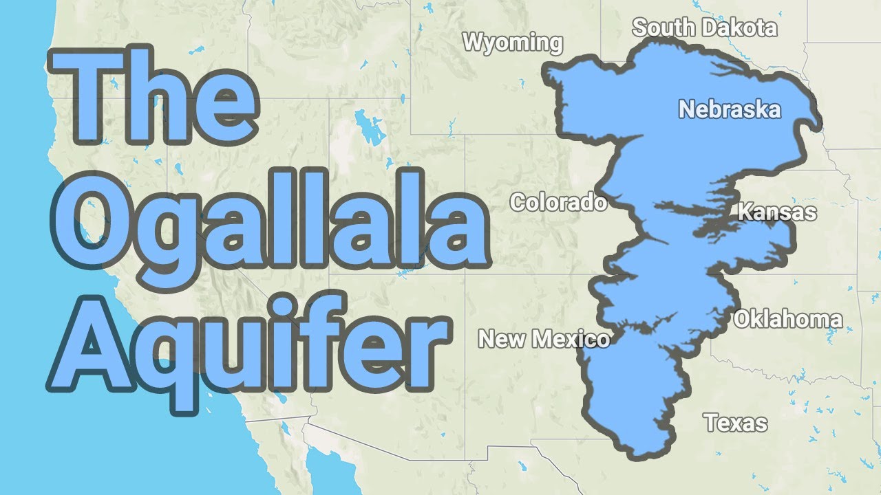


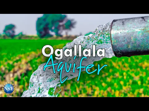
Underground Giant Covering 450,000 Km², the Ogallala Aquifer Supports US Agriculture, But Faces Accelerated Depletion and Historic Risk.
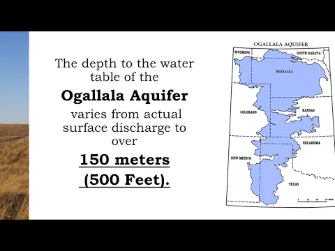
Underneath the central plains of the United States lies one of the largest reserves of freshwater in the world: the Ogallala Aquifer, also known as the High Plains Aquifer. It spans approximately 450,000 square kilometers, crossing eight states — South Dakota, Nebraska, Wyoming, Colorado, Kansas, Oklahoma, New Mexico, and Texas — and serves as the water backbone of one of the planet’s most productive agricultural regions.
This colossal mass of groundwater is not visible to the naked eye, but without it, much of the grain, meat, and dairy production in the US simply would not exist. It is estimated that about 30% of all agricultural irrigation in the country relies directly or indirectly on this aquifer, making it a national strategic asset.
A Reserve Formed Over Millions of Years
The Ogallala began to form between 2 and 6 million years ago, from the slow accumulation of sediments, sand, gravel, and water from melting glaciers and ancient river systems of the Rocky Mountains.
-
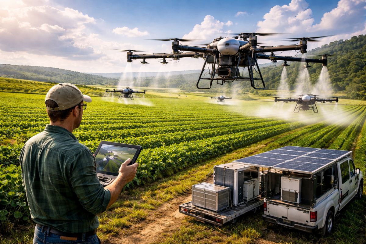
Alone, the producer applies 7,400 hectares with the T100 drone in an optimized structure, replaces the generator with a silent battery, and demonstrates how technology reduces costs, increases productivity, and even challenges the uniport in the field.
-
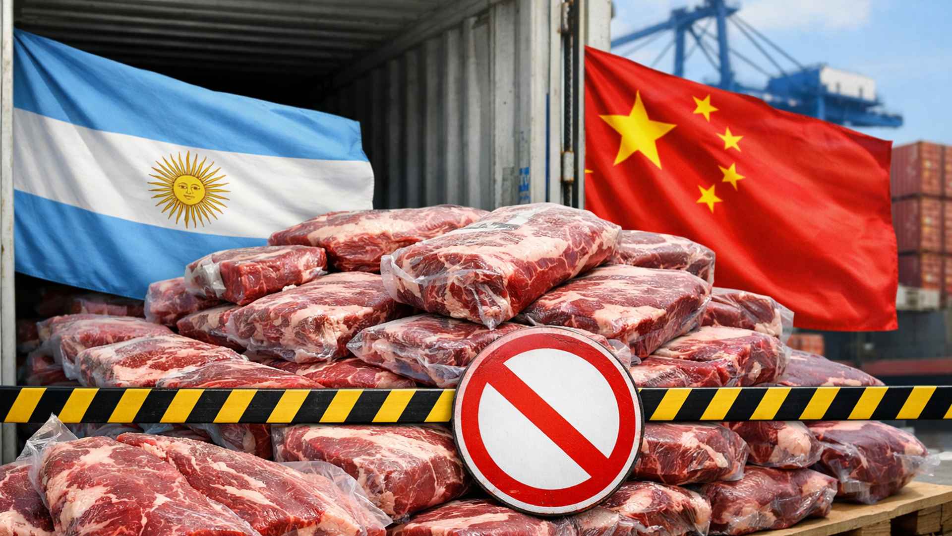
China banned the export of 22 tons of meat from Argentina.
-
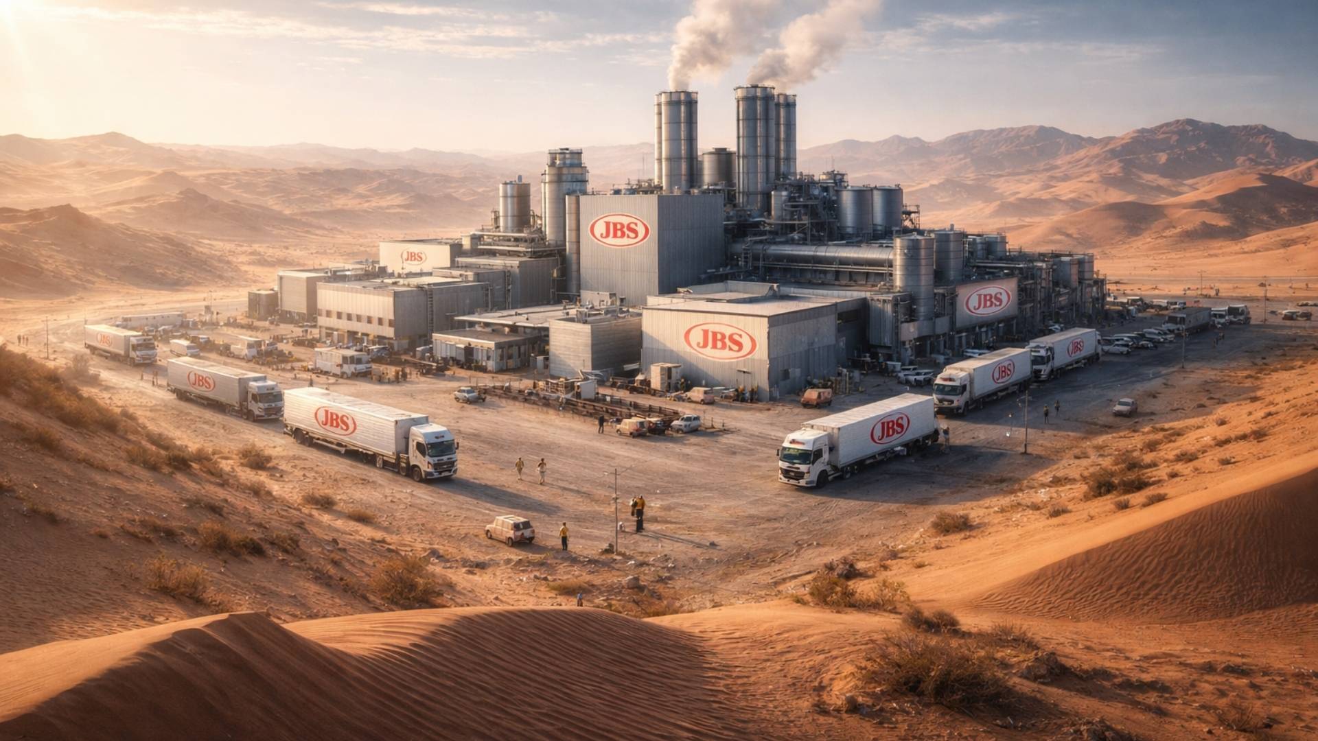
JBS, founded by the Batista brothers, continues to conquer the world: entrepreneurs built a ‘factory in the desert’ creating 3,000 jobs.
-
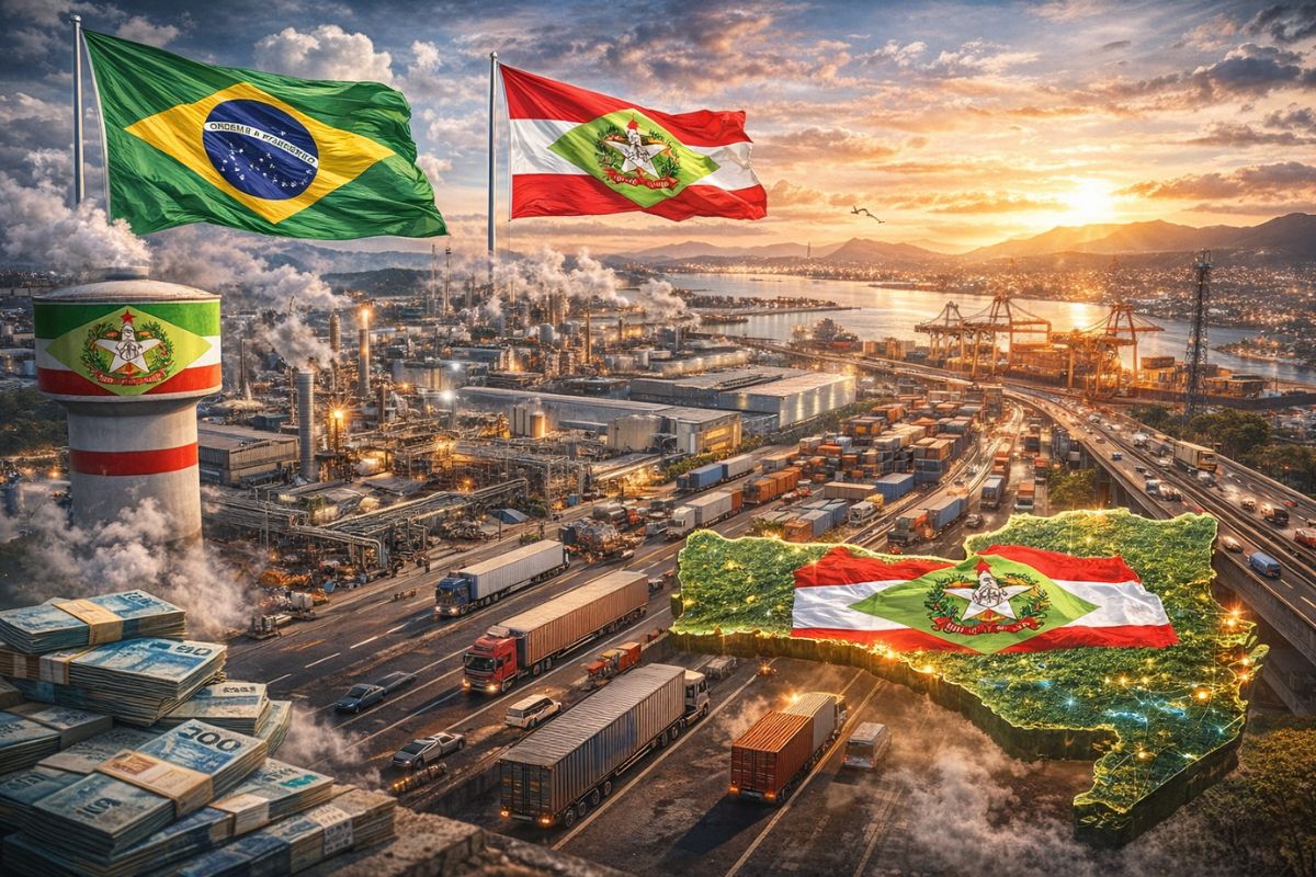
With only 1% of Brazil’s territory, Santa Catarina has built one of the most competitive industrial parks in the country, with 64,000 companies, nearly 1 million jobs, and a growth rate of 5.3% while the national industry is practically stagnant.

Unlike rivers or lakes, it is a fossilized aquifer: much of the water stored there took thousands of years to seep into the ground.
This technical detail is crucial to understanding the current problem. The natural recharge rate of the aquifer is extremely low, especially in the drier southern regions such as Texas and New Mexico. In many places, the water withdrawn today will not be replenished on a human time scale.
The Invisible Engine of the “Breadbasket of the World”
Thanks to the Ogallala, areas that would naturally be semi-arid or unsuitable for intensive agriculture have transformed into true production hubs. Corn, wheat, soybeans, cotton, and sorghum are grown on a large scale, along with intensive cattle ranching that supplies global food chains.
In states like Nebraska and Kansas, central pivot irrigation — those green circles seen from satellite — depends almost exclusively on water pumped from the aquifer. In some regions, more than 90% of the water used in agriculture comes directly from the Ogallala, showcasing the level of structural dependency created throughout the 20th century.
The Extraction Rate That Exceeds Recharge
The major issue is that the use of the aquifer has grown exponentially after the Second World War, with the popularization of electric pumps, modern irrigation systems, and the expansion of industrial agriculture.
In various areas, the rate of water withdrawal is dozens of times greater than the natural recharge capacity.
Hydrological studies indicate that some parts of the aquifer have already lost more than 50% of their original volume.
In the southern part of the system, especially in Texas, there are stretches considered virtually depleted, where wells have dried up or become economically unfeasible due to the increasing depth required to reach water.
Economic, Environmental, and Social Impacts
The progressive depletion of the Ogallala is not just an environmental issue — it is a significant economic risk. The reduction in water availability implies a decline in agricultural productivity, increased production costs, devaluation of land, and potential collapse of entire rural communities.
Environmentally, overexploitation affects ecosystems dependent on springs and rivers fed by the aquifer, reducing biodiversity and altering landscapes that took thousands of years to stabilize. Socially, a dilemma arises: maintain production in the short term or preserve water for future generations.
Management Attempts and Limits of Engineering
Some states have already adopted stricter water management policies, imposing pumping limits, encouraging crops less dependent on irrigation, and promoting technologies for more efficient water use. In Nebraska, for example, local management districts can enforce regional rules that are stricter than in other states.
Even so, the scale of the problem is immense. Unlike dams or surface reservoirs, there is no quick solution or monumental project capable of artificially “recharging” an aquifer of this size. Engineering can buy time, but it cannot completely reverse the physical logic of the system.
A Global Warning About the Use of Giant Aquifers
The Ogallala case has become a global reference when it comes to large-scale aquifer exploitation. Similar situations occur in other parts of the planet, such as in the northern China aquifer, in the Indo-Gangetic region, and even in parts of the Middle East.
What distinguishes the Ogallala is the amount of data, monitoring, and the clarity with which depletion is already visible.
It serves as a silent warning: giant underground reserves are not infinite. When relying on fossilized water, they can sustain entire civilizations for decades, but will inevitably demand a price.
The Future of One of the Largest Freshwater Reserves in the World
The fate of the Ogallala depends on political, economic, and technological choices made now. Reducing water dependency, changing agricultural patterns, and accepting physical limits may mean less production in the short term, but greater stability in the long term.
Ignoring these signals, on the other hand, could turn one of the greatest agricultural achievements of the 20th century into one of the largest environmental and economic collapses of the 21st century.
The aquifer remains there, invisible beneath the fields, but every over-irrigated crop brings this silent giant closer to a point of no return.


more like 450,000 km2. can’t really trust the writer is competent if he can’t get that right.
Time to consider previously dismissed options. This ‘reservoir’ will suffer the same fate as the Colorado river. Bandaid measures will only work for so long. Global warming is changing weather, and rain, patterns. Rivers and reservoirs, under the current measures, will become ineffective, and worthless.
In the far North of Canada lies the James Bay. A massive body of fresh water that is fed by continental winter run off. A pipeline, to help solve the problem this article is addressing, was considered decades ago but abandoned – the need was not great enough then, but it is quickly becoming so. Time to revisit. This massive project could refill reservoirs on a dependable basis with water that otherwise would simply be adding to the rising of oceans.
All of North America would benefit. American and canadian farmers could continue to produce, the James Bay costal area would have less flooding, renewable resources would not be wasted…..Winners all around. And a water pipeline would not have the same environmental issues as a fossil fuel pipeline.
The project would take decades. Starting too late would be defeatist and result in catastrophic calamity.
Time to reconsider.
450 km*2? Somebody better learn some arithmetic.