 Portuguese
  English
  Spanish
The New Google Maps Tool Was Announced at the Next’23 Event and Offers the Ability to Provide Important Information About Weather Conditions
At the Next ’23 event, hosted by Google, three new APIs were announced for the Maps platform, aimed at providing detailed information about weather and solar conditions and assisting businesses, organizations, and developers in creating sustainability-focused solutions, according to the Terra website.
One of the innovative APIs introduced is the Solar API, which is based on an Artificial Intelligence (AI) model trained to calculate the solar energy potential on rooftops and buildings. Utilizing aerial images and the geometry of roofs, this tool also considers factors such as regional weather patterns and the presence of trees and shadows. This data provides solar panel installation companies an effective way to assess the potential for solar energy generation at a location, eliminating the need for physical visits.
This advancement from Google is an evolution of the Sunroof Project, launched by Google in 2015, which is now available for companies. The new model is capable of mapping over 320 million buildings in 40 countries, providing a more accurate understanding of solar energy potential in different regions.
-
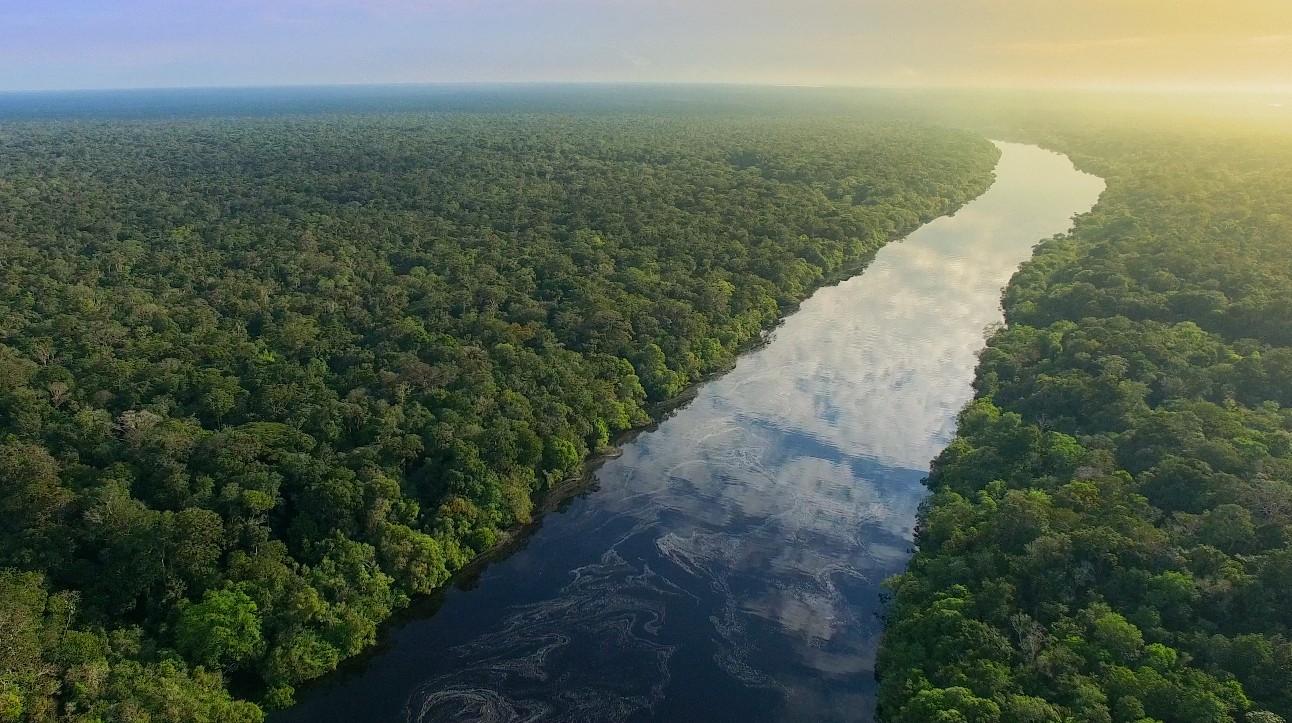
Renewable energy advances over protected areas in Brazil, and a survey by the Energy Transition Observatory reveals silent impacts that challenge environmental conservation and pressure sensitive traditional territories.

-
Rio Grande do Sul accelerates energy transition: State invests in renewable technologies and consolidates decarbonization strategies and pathways to attract billions in new industrial investments.
-
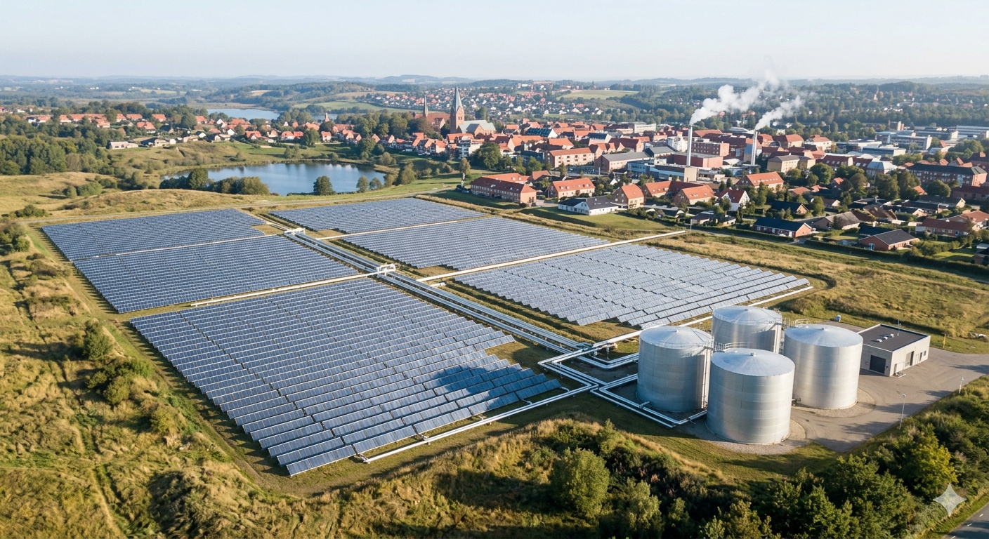
With 160,000 m² of collectors, an area larger than 20 football fields, Silkeborg, in Denmark, hosts a solar thermal plant that heats 19,500 homes and could become the largest solar heating plant in the world.
-
A study reveals the expansion of renewable energy procurement in Brazil and shows how companies are taking advantage of opportunities to reduce expenses, ensure energy efficiency, and strengthen strategic environmental commitments.

Google Air Quality API: Mapping Global Air Quality and Solar Energy Potential
The Air Quality API is a significant addition to Google Maps, providing information on air quality and pollution levels in over 100 countries. This tool utilizes a variety of sources, including data from government monitoring stations, weather information from sensors and satellites, and also considers factors such as traffic congestion. With the application of machine learning, the API calculates levels of different pollutants in specific areas, allowing users to easily view the air quality in different parts of the world.
Another notable API introduced is the Pollen API, designed to help allergic individuals better understand pollen concentration in certain regions. Using machine learning, this tool identifies areas with high concentrations of pollen-producing plants and, based on environmental and climatic data such as wind direction, predicts how pollen will disperse. The Pollen API covers over 65 countries and provides useful information for individuals with allergies, enabling them to take appropriate precautions, both in their local cities and while traveling.
Commitment to Sustainability and Well-Being
With the introduction of these new APIs, Google reinforces its commitment to sustainability and the well-being of the global energy community. By providing accurate information on solar energy, air quality, and pollen concentration, the company empowers developers, organizations, and individuals to make informed decisions towards a healthier and more sustainable world. The combination of AI, machine learning, and environmental data offers an innovative approach to understanding and managing these vital aspects of our daily lives, including with respect to energy.


Seja o primeiro a reagir!