 Português
  Inglês
  Espanhol
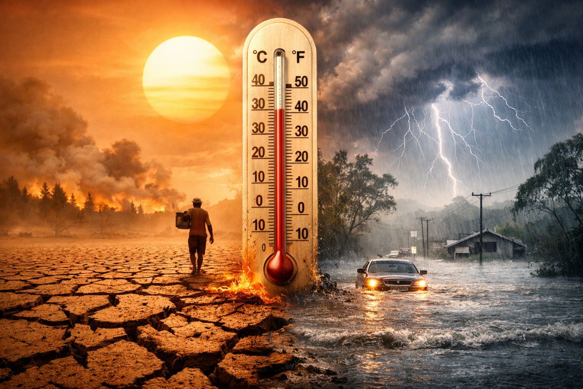
The Approaching El Niño for Winter 2026 Paints a Hotter Brazil, With Possible Temperatures Between 0.5 °C and 2 °C Above Average, More Rain in the South, Less Impact in the Southeast and Midwest, and Risk of Drought in the North and Northeast Throughout the Season.
El Niño enters the radar for the winter of 2026 as one of the main factors capable of influencing Brazil’s climatic pattern. The seasonal projection for June, July, and August indicates temperatures between 0.5 °C and 2 °C above average, creating a scenario in which the coldest season of the year may take on unusual warm traits.
This does not mean a uniform behavior across the country. The influence of El Niño appears unevenly among the regions, with a prospect of more precipitation in the South, a risk of water deficit in the North and Northeast, and a lesser impact on rainfall in the Southeast and Midwest. It is precisely this irregular distribution that transforms winter into a more complex and less predictable season.
El Niño Changes the Traditional Reading of Winter in Brazil

Image and source: NDMAIS
When the projection indicates temperatures above average, the immediate effect is the sensation that winter may lose strength. However, the more accurate reading is different: El Niño tends to shift the average behavior of the season, making the presence of warmer or less cold periods more likely than usual. It is not about canceling winter, but about altering its thermal balance.
-
Found in one of the most radioactive places on Earth, this Chernobyl fungus may be doing something with radiation that no one has been able to explain to this day.
-
A bright yellow mushroom imported from Asia escaped from a cultivation farm in the United States in 2010 and is now aggressively spreading across 25 states, destroying entire communities of native fungi in American forests.
-
Buried under China, a colossal machine weighing 20,000 tons began operating as the largest neutrino detector on the planet and, in just 59 days, surpassed results that science took half a century to achieve.
-
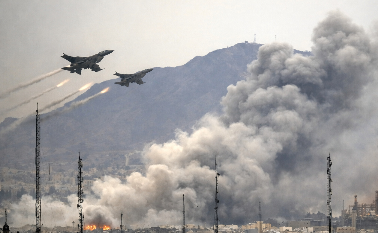
Iran enters the center of a climate alert after the war emitted 5.6 million tons of CO2 in two weeks, surpassing the annual pollution of entire countries.

In practice, this means that the quarter may close with a warmer result even if cold episodes occur along the way. The average of the season encompasses different moments, and it is enough that the mild or warm periods are more persistent for the final result to be above the expected standard.
Therefore, the idea of a winter with a “summery face” does not necessarily point to a lack of cold but to a season where heat may gain more space than normal.
This scenario helps explain why the approaching El Niño attracts so much attention. Brazil is accustomed to associating winter with the frequent entry of cold air masses and the repetition of fronts that renew the cold air.
When the atmospheric pattern reorganizes, the perception of the season changes not only because of temperature, but also due to the rhythm with which cold appears, retreats, and re-emerges.
Where Rain May Increase and Where the Risk of Drought Grows
The clearest change in the rainfall regime appears in the South of Brazil. The typical behavior associated with El Niño favors increased precipitation in the region, and the projection considered for the quarter indicates volumes that may be up to 100 mm above average. This means a season with greater potential for persistent rainfall episodes, more significant accumulations, and wetter soil during certain periods.
This precipitation reinforcement is not a secondary detail. In a season where part of the country usually observes reduced rainfall and a firmer advance of dry air, the South may follow a different path, with more humidity and a higher frequency of instabilities.
Winter, in this case, ceases to be just a discussion about cold and becomes about excess water at specific moments.
In the North and Northeast, the pattern is the opposite. The projected signal is of water deficit, which raises concerns about rainfall below necessary levels in areas that already feel the impacts of the fluctuations in the rainfall regime more strongly.
When El Niño acts in this way, the reduction in precipitation weighs not only on thermal comfort but also on water availability and soil conditions throughout the season.
In the Southeast and Midwest, El Niño’s influence on precipitation tends to be lesser. This does not mean a complete absence of effects, but indicates that the phenomenon should not drive rainfall in these regions with the same intensity observed in the South or with the same warning signals associated with the North and Northeast. It is a winter marked by regional contrasts, rather than a single response for the entire country.
Temperature Above Average Does Not Eliminate Cold Waves and Intense Events
One of the most important points in understanding the impact of El Niño is that average warming of the season does not equate to absence of cold. The seasonal behavior itself allows for the occurrence of polar air intrusions even in a warmer-than-average quarter. In other words, winter can still record sharp drops in temperature, frosts, and significant cold episodes.
This happens because the atmosphere does not respond in a wholly linear manner. The pattern associated with El Niño tends to reduce the frequency of cold air masses and frontal systems advancing through the interior of the country, but this reduction does not work as an absolute blockade. Breaks in this pattern may open space for stronger incursions of polar air, even with a significant impact in areas that are normally sensitive to winter variations.
This distinction is essential to avoid a simplified reading of the scenario. If the quarter ends up above average, it does not mean that the cold has completely failed. It only means that, in the overall season, heat or mildness gained more weight. An intense cold event can occur within a warmer winter, just as days of significant temperature drops can coexist with entire weeks of elevated marks for the time of year.
Therefore, the forecast of a warmer winter needs to be read with caution. It suggests a tendency, not monotony. El Niño rearranges probabilities, alters the frequency of certain patterns, and changes the overall balance of the season, but does not transform every day into a repetition of the same behavior. Winter may be less cold on average and still deliver typical, severe, and even surprising moments.
What Is El Niño and Why Does It Affect the Climate So Much
El Niño is a climatic phenomenon linked to the rise in temperature of the waters of the Pacific Ocean, especially in the central and eastern areas. Its formation does not depend on a single trigger, but on a combination of factors, including the abnormal warming of these waters, the weakening of trade winds, and changes in atmospheric circulation. It is this mechanism that causes the phenomenon to resonate far beyond the ocean where it is born.
When this structure organizes, the effects spread across large areas of the planet and alter atmospheric behavior on different scales. The result appears in rainfall, temperature, and the way meteorological systems begin to act. El Niño is not just an oceanic anomaly; it is a broad change in the functioning of the climate, capable of redistributing humidity, heat, and atmospheric circulation.
The recurrence of the phenomenon also helps explain its relevance. El Niño typically occurs at intervals of five to seven years, which makes it a well-known factor in climatology and the memory of various seasons marked by regional extremes. Some studies point out that it has been occurring for over 500 years, reinforcing the idea that it is an ancient, persistent climatic mechanism with profound effects.
In the case of Brazil, this force translates into very evident regional responses. The South tends to see more rain, the North and Northeast may face a reduction in precipitation, and the whole country begins to experience a season where the cold does not disappear but shares space with a warmer background. That is why the approaching El Niño is often followed with such attention even before the season begins.
A Warmer Winter Will Not Be the Same for All Brazilians
The impact of El Niño on the Brazilian winter will not be felt the same way in all cities, states, or regions. In part of the country, the main characteristic may be rainfall above average. In other areas, the more noticeable effect may be the more persistent heat or lack of precipitation. This regional difference prevents any hasty generalization and requires a more careful reading of the season.
For those living in the South, winter may take on a greater instability, with wetter periods and significant rain accumulations. For those in the North and Northeast, the concern tends to focus more on the reduction of precipitation.
In the Southeast and Midwest, the lesser influence on the rainfall regime does not eliminate the perception of a different quarter, especially if temperatures continue to be above the average standard.
This is also why the expression “summery face” needs to be understood within the correct context. It describes a broader feeling of warming and disorganization of the classic winter pattern but does not summarize the entire season. Brazil will remain subject to contrasts, weather changes, and cold air intrusions, even if the overall background points to a season warmer than usual.
In the end, what El Niño outlines is a less linear winter. There will be above-average heat at various times, significant changes in the distribution of rains, and the possibility of intense cold events within a quarter that may ultimately finish warmer.
It is precisely this combination of seemingly contradictory signals that makes the 2026 season so relevant and so difficult to summarize in a simple phrase.
The advance of El Niño places Brazil before a potentially warmer winter, more unequal among regions, and more sensitive to extremes of rain or drought, without excluding strong cold episodes. It is a season that demands extra attention to the regional behavior of the climate, and not just to the national average.
Has winter in your region seemed less predictable in recent years? Do you feel more out-of-season heat, more rain, drought, or still perceive strong cold air intrusions?
Share in the comments how this change appears where you live and what stands out to you when winter no longer looks the same as before.


Seja o primeiro a reagir!