 Portuguese
  English
  Spanish
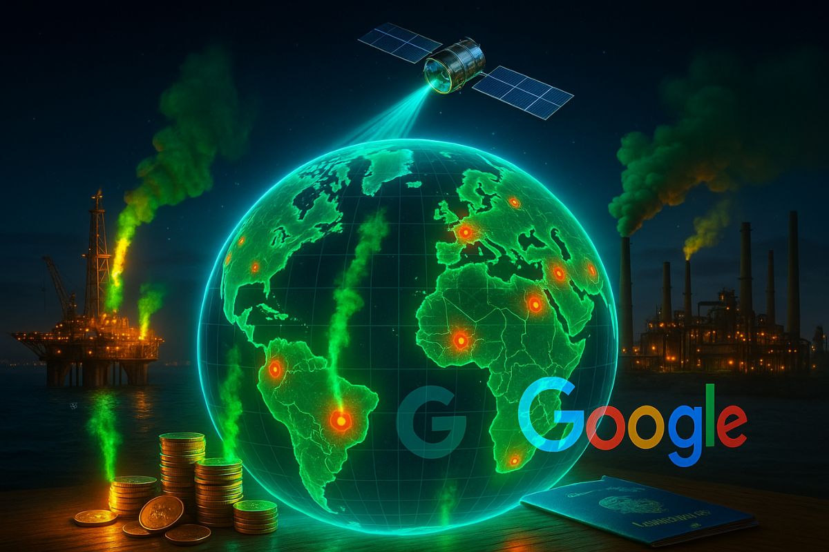


MethaneSAT and Google Create Global Map of Methane Emissions: Free Data Will Expose Polluters in Real-Time and Pressure Governments in 155 Countries
The new Google map will mark a turning point in global environmental transparency. The tool will be powered by the MethaneSAT satellite, dedicated to monitoring methane emissions, a gas responsible for nearly one-third of man-made global warming. The proposal is simple yet powerful: to show in real-time who is polluting, where, and how much, leaving no room to hide information.
According to experts, the impact can be compared to an “independent auditor in space.” By processing MethaneSAT data with artificial intelligence, Google will be able to identify leaks and methane discharges in oil and gas regions that have previously escaped oversight. This expands the scope of the fight against climate change and strengthens public control over emissions.
Who Is Behind the New Google Map
The EDF is a U.S. NGO focused on scientific solutions to environmental problems.
-
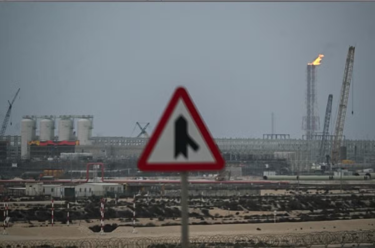
Offshore industrial demand in Macaé skyrockets with the recovery of oil and gas and could grow by up to 396% by 2026 in the Campos Basin.

-
Offshore industrial demand in Macaé surges with the recovery of oil and gas and could grow by up to 396% by 2026 in the Campos Basin.
-
Brazilian giant expands borders in the Southeast: Petrobras confirms new oil discovery in ultra-deep waters in the pre-salt of the Campos Basin.
-
Alert in the global energy market: Severe tropical cyclone hits the coast and disrupts gas production at major plants in Australia, threatening global supply.

Google, with its ability to process large volumes of data, ensures that the information will be open, accessible, and easy to interpret.
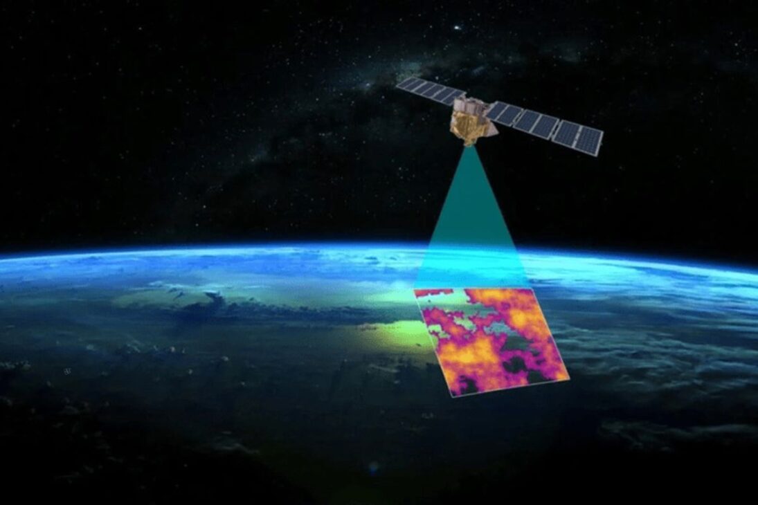
The satellite will orbit the Earth 15 times a day, generating a continuous view.
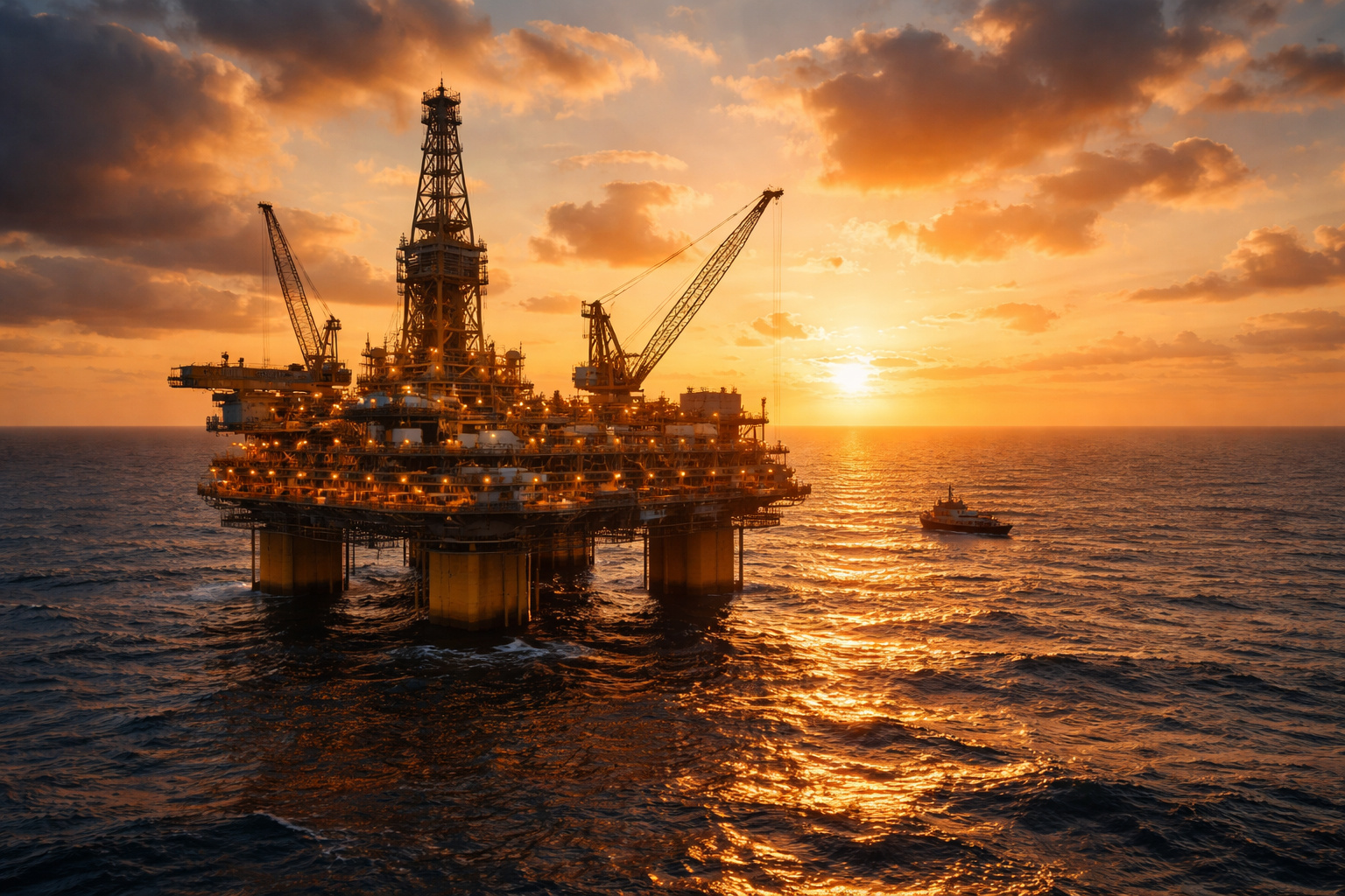
Its advanced sensors can measure methane concentrations even in hard-to-reach locations, such as offshore platforms and extraction fields in the Arctic.
This data will go directly to the Google Earth Engine platform, where it will be available for free.
How MethaneSAT Can Change Things Practically
The expectation is that the new Google map will change the logic of environmental oversight.
Governments, researchers, NGOs, journalists, and even ordinary citizens will have the means to verify in real-time where the highest concentrations of methane are.
This breaks the historical barrier of closed technical reports and enhances public debate.
The commitments already made highlight the impact: 155 countries have committed to cutting methane emissions by 30% by 2030.
Companies representing 40% of the world’s oil and gas production have also signed reduction pacts.
With MethaneSAT data exposed, these targets will no longer be mere paper promises and will be monitored daily.
Why Methane Is So Concerning
The new Google map gains relevance because methane has a much more aggressive effect in the short term than carbon dioxide.
Although it remains in the atmosphere for less time, its warming potential is more than 25 times greater.
This means that rapid reductions in methane emissions could yield immediate results in combating global warming.
Experts point out that simply by cutting this gas, it would be possible to avoid up to 0.3 ºC in temperature increase by 2040.
In a climate emergency scenario, this difference could determine the survival of entire ecosystems.
Where the Impact Will Be Most Felt
The greatest pressures are expected to occur on countries and companies that heavily depend on oil and gas.
With the new Google map, it will become harder for governments to delay containment measures.
The public opinion will have direct access to the data, and investors will also be able to assess environmental risks in real-time, influencing market decisions.
Additionally, sectors like agriculture and landfills, large emitters of methane, will come under scrutiny.
This could generate new mitigation policies and even alter commercial contracts, as international buyers will have means to verify the climate footprint of products.
Is It Worth Trusting the Impact?
The major test of the new Google map will be the reaction of the involved actors.
With public and irrefutable data, governments will no longer be able to hide behind edited reports.
Companies, on their part, will have to respond to increased pressures from shareholders, customers, and regulators.
The tool introduces a new level of environmental accountability, but its effectiveness will depend on the ability to turn transparency into action.
The new Google map, based on MethaneSAT data, heralds an era of real-time environmental surveillance.
For the first time, ordinary citizens will have access to the same level of information as governments and powerful companies.
The result could be a game-changer in the fight against climate change.
Do you believe that this transparency will actually force governments and companies to act, or will it just be another showcase with no practical consequences? Leave your opinion in the comments — we want to hear your thoughts on this advancement.


No Brasil o maior problema de emissão de gás metano não vem da indústria do petróleo, mas sim da pecuária. Esse mapa também será capaz de apontar os focos de maior emissão na pecuária para influenciar uma transição desse tipo de produção para uma menos nociva ao planeta?