 English
  Francês
  Alemão
  Italiano
  Japonês
  Norueguês
  Portuguese
  Spanish
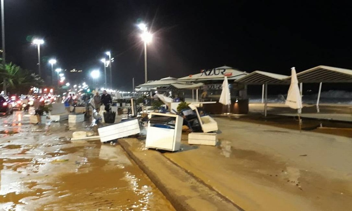
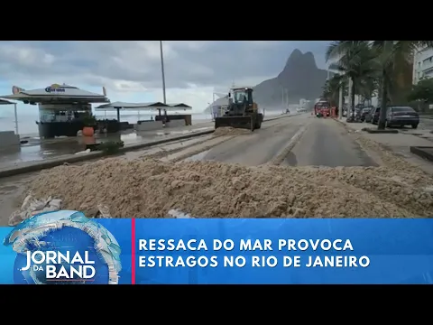
Waves Up to 4 Meters Disrupt Vessels, Cause Losses and Trigger Flooding in Different Points of the State
The strong swell hitting the coast of Rio de Janeiro since Tuesday, July 29, forced the Port Authority to completely restrict the departure of vessels from Guanabara Bay.
According to the Brazilian Navy, waves of up to 4 meters made external navigation impractical. Thus, only vessels in sheltered waters were authorized to operate until further notice.
In addition to Guanabara Bay, the measure also applies to the bays of Sepetiba and Ilha Grande. The main objective is to preserve lives and protect vessels.
-
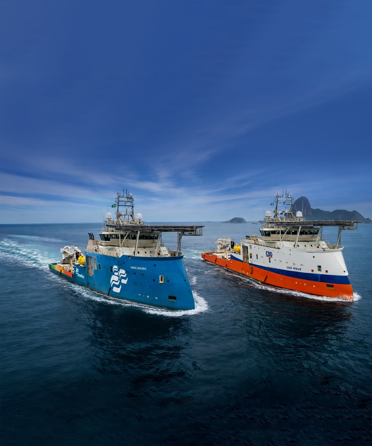
OceanPact Announces Acquisition of CBO and Creates One of Brazil’s Largest Maritime Support Structures with 73 Vessels, Annual Revenue Above R$ 4 Billion and R$ 14 Billion Backlog
-
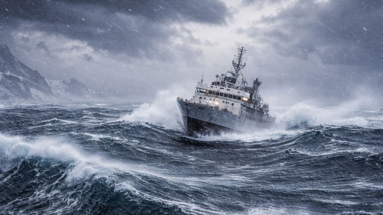
With Extreme Winds, Giant Waves, and Unrestricted Currents, Drake Passage Is Considered the Most Violent Stretch of the Oceans
-
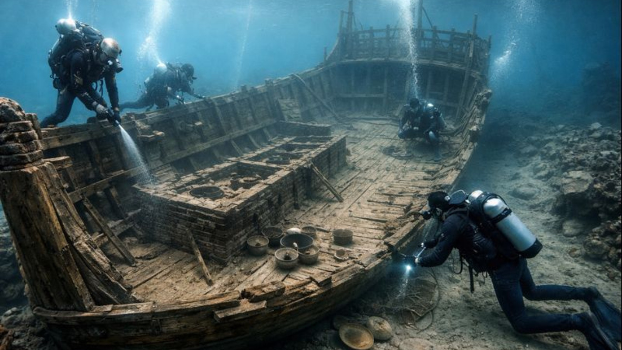
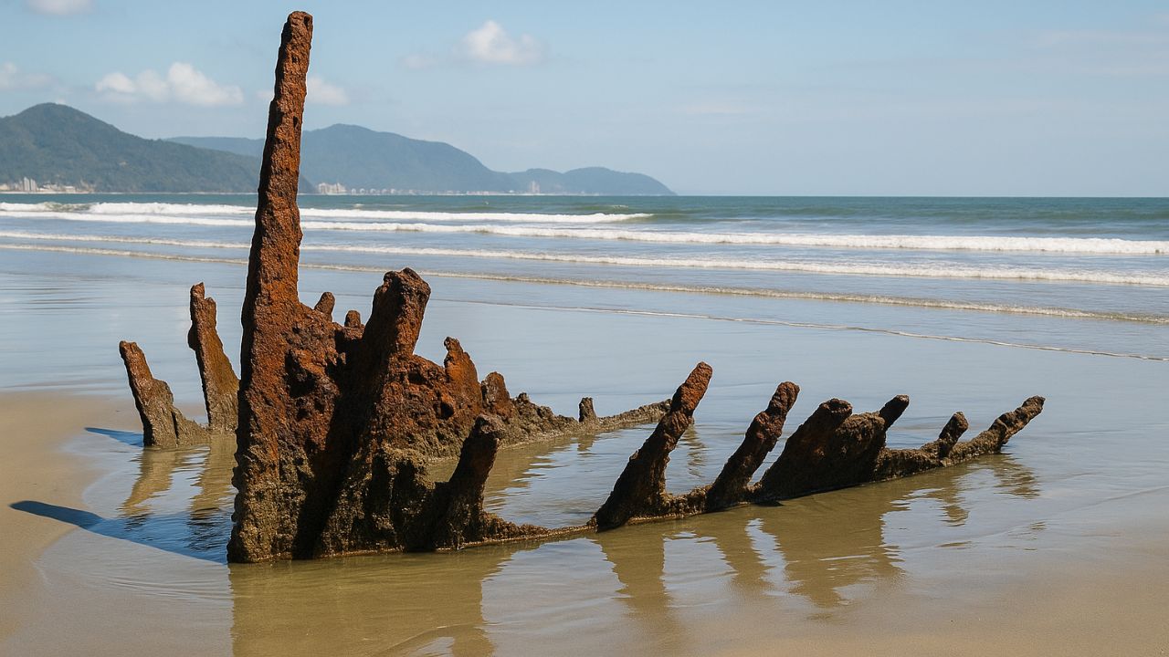
15th Century Merchant Ship Surprises Archaeologists
-
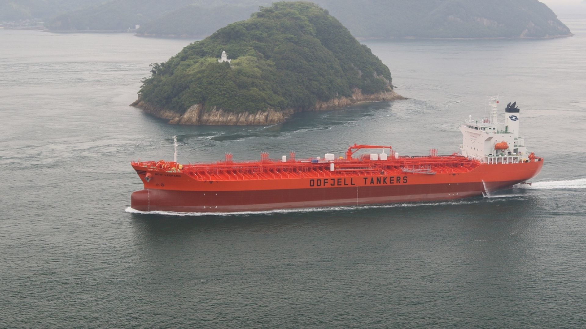
Odfjell Inaugurates First Operational Green Corridor Between Brazil and Europe Using Sustainable B24 on Maritime Routes and Reinforces Decarbonization Strategy

In a statement, the Navy reported that, given the “adverse conditions of wind and sea,” it decided to ban navigation to prevent accidents and environmental damage.
Prohibition Affects Fishing and Maritime Transport
In Copacabana, the Z13 Fishermen’s Colony was unable to operate on Thursday, July 31. No boatman dared to venture out into the rough sea.
As a result, the traditional sales point at Posto 6 awoke with completely empty gondolas. The impact directly affected the local commerce, which depends on fishing activity.
Still according to the Navy, anyone who disobeys the order is subject to a fine of up to R$ 3,200. The penalties may include imprisonment and suspension of the nautical license.
The recommendation is clear: avoid swimming, practicing water sports, and staying away from areas where the waves break with force.
Coastal Route Reopened After Interdiction
The city hall closed Avenida Delfim Moreira, along the Leblon waterfront, after successive waves invaded the area between Tuesday and Wednesday.
The waters reached residential buildings.
In the early hours of Thursday, with the tide decreased, Comlurb teams managed to remove the accumulated debris. Therefore, the road was reopened for traffic.
During the previous days, the damages were significant. A building gate was destroyed. In addition, several kiosks reported structural and material losses.
CET-Rio maintained blockades and constant monitoring to ensure safety. Nevertheless, the scenario was tense along the waterfront.
Swell Causes Flooding and Destruction in Communities
In the West Zone, the region of Rio das Pedras faced flooding. Residents of the area known as Areal waded through water up to their knees in the early hours of the morning.
Although it did not rain heavily, the combination of high tide and the swell pushed the water volume from Lagoa da Tijuca to Rio das Pedras.
The low terrain exacerbated the situation. The waves destroyed part of the famous Deck dos Pescadores in Arraial do Cabo, in the Lagos Region.
Some vessels were also lost. Local fishermen maintain the structure, and volunteers alongside the community will rebuild the space, according to an unofficial note from the local City Hall.
Weather Forecast for the Coming Days
Despite the forecast for the end of the swell warning on Thursday night, the sea will remain rough on Friday, August 1, with waves of up to 2 meters.
Additionally, the circulation of winds from the high pressure moving away to the ocean is still expected to bring maritime humidity to Greater Rio and the Lagos Region.
During the morning period, light rain may occur in these areas. In the state’s interior, relative humidity may drop below 30%.
This drop is primarily expected in regions close to Minas Gerais. The cold will remain. The capital is expected to record highs of up to 22°C on Friday.
The mornings will continue to be chilly until Sunday, August 3, with freezing nights. On Monday, August 4, pre-frontal effects will slightly raise the temperature.
Afternoons are likely to heat up more, with highs of up to 31°C. Until then, no heavy rain is forecast. However, the sea will continue to require attention.
The guidance is especially valid for navigators, fishermen, and water sports enthusiasts.
Inspection Will Be Intensified Until the End of Instability
The Port Authority, therefore, emphasized that it will continue to monitor the affected areas, especially at the exits of the bays, where the risk remains high.
Furthermore, safety will remain an absolute priority until maritime conditions return to normal, which may still take a few days.
In the meantime, residents of the coast of Rio de Janeiro remain on alert, as the swell, although temporary, has caused serious damage to infrastructure, commerce, and communities.
Moreover, in addition to the high waves, moderate winds with gusts of up to 50 km/h are expected to continue between the Costa Verde and the Lagos Region.
Therefore, the guidance remains one of caution. Even if there is no formal swell warning, the sea will continue to be strong and unstable in the coming days.


Seja o primeiro a reagir!