 Português
  Inglês
  Espanhol
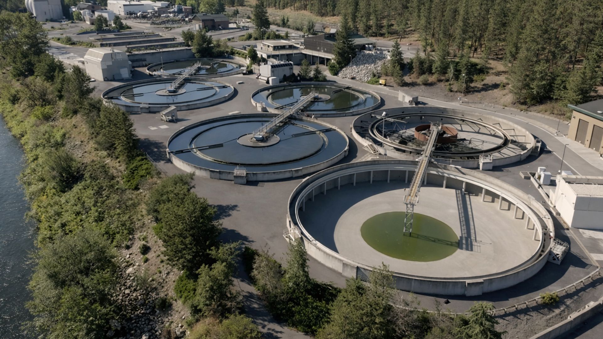
Mapped Since 2013 by Researchers from the Federal University of Pará, the Amazonian Subterranean Reservoir Extends from the Andes to Marajó Island, Holds a Volume Four Times Greater Than the Guarani Aquifer and Feeds Rivers, Rain and Crops Across Brazil.
Under the roots of the Amazon rainforest lies a reservoir with over 150 quadrillion liters of fresh water, distributed across four sedimentary basins that extend from Acre to Marajó.
The Grande Amazônia Aquifer System, known by the acronym SAGA, was mapped from 2013 onwards by researchers from the Federal University of Pará and has since been recognized as the largest subterranean freshwater reserve on the planet.
The water reserves of SAGA were preliminarily estimated at 162,520 km³, considering depths of up to 500 meters.
-
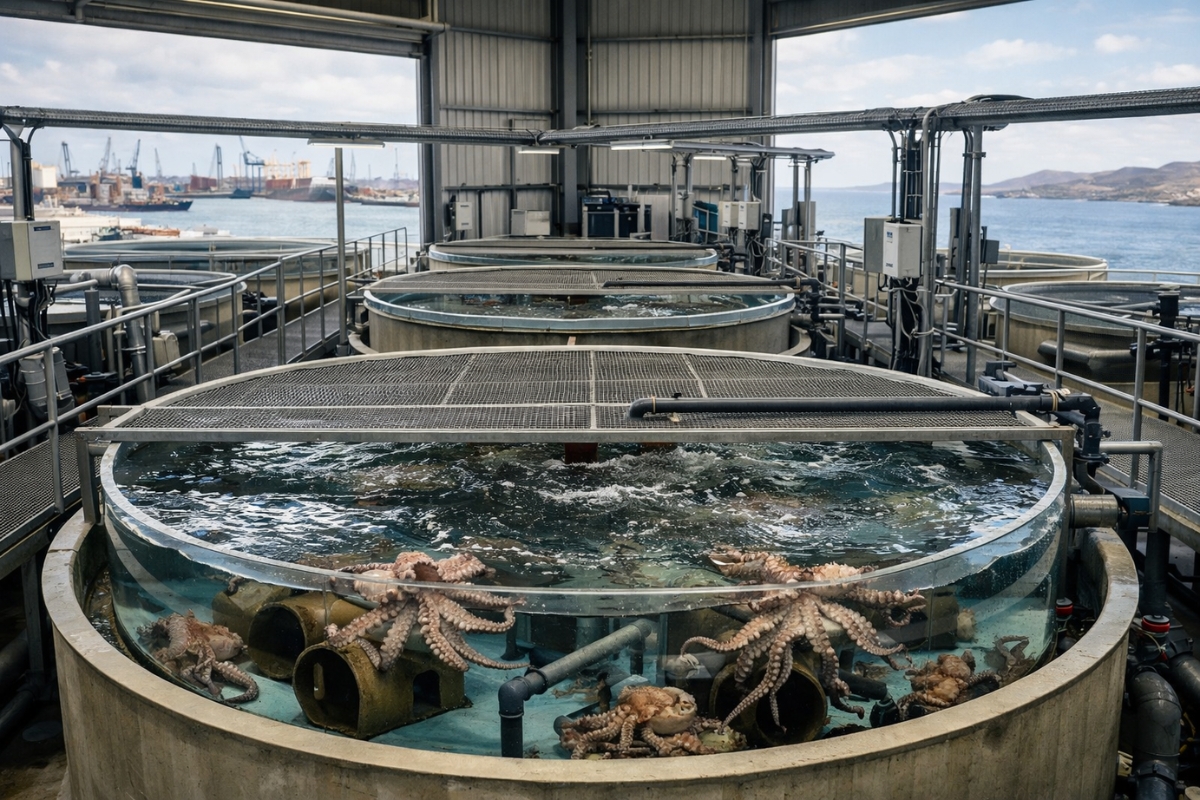
The world’s first octopus farm wants to open in the Canary Islands and is already provoking an international reaction: the plan aims to produce 3,000 tons per year.
-
Drought may be creating stronger superbugs in the soil and helping antibiotic resistance reach hospitals, warns a study highlighting a problem that could grow alongside extreme weather.

-
The biggest scam in history: Napoleon’s France deceived the United States by selling them a territory that was Spanish.

-
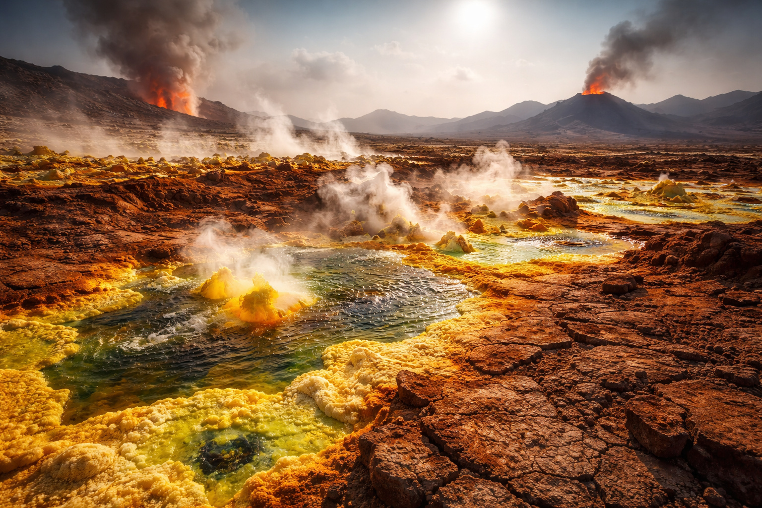
Why is the Danakil Desert so dangerous? It has unstable terrain and how extreme temperatures and toxic gases turn the region into one of the most hostile environments on Earth.

For comparison, the Guarani Aquifer, distributed across eight Brazilian states and three neighboring countries, has about 39,000 km³, according to data from the Geological Service of Brazil. The volume of SAGA is therefore more than four times that of the Guarani.
How a Study in Santarém Revealed a Continental Giant
The discovery began in the municipality of Santarém, Pará, where geologist Francisco de Assis Matos de Abreu, from the UFPA Institute of Geosciences, coordinated research on the Alter do Chão Aquifer.
While analyzing data from wells drilled by Petrobras for oil research, he noticed that the layers of porous rock extended far beyond the known limits of the local aquifer.

In 2013, during the III International Congress on Subterranean Environment, the team presented the first consolidated numbers.
What was known only as the Alter do Chão Aquifer was, in fact, part of a system that goes from the foothills of the Andes in Acre to Marajó Island in Pará.
The old name no longer fit in light of the revealed dimension. The SAGA was officially born, encompassing four sedimentary basins: Acre, Solimões, Amazonas, and Marajó.
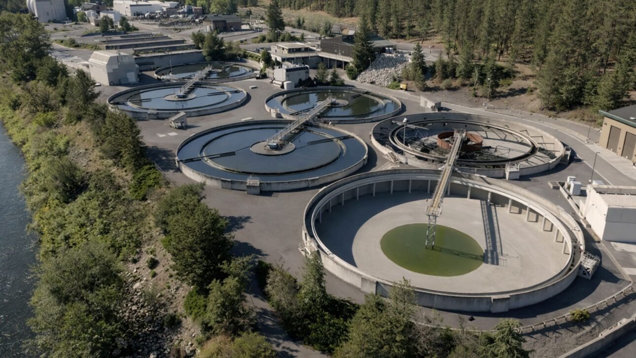
Cities like Manaus and Santarém already rely on this water for urban supply. However, outside these centers, the aquifer remains practically untouched.
According to Professor Matos, transporting this water to distant regions, such as the Northeast Semi-Arid or Greater São Paulo, would require infrastructure works that are unfeasible due to distance and associated costs.
The Subsoil That Feeds The Flying Rivers
The SAGA does not function as a simple water tank buried under the forest. It actively participates in the Amazonian hydrological cycle, continuously interacting with surface rivers and the atmosphere.
According to data presented at the 66th Annual Meeting of the Brazilian Society for the Advancement of Science, about 80% of the water in the regional hydrological cycle is underground.
This groundwater feeds the surface rivers, which in turn evaporate and supply atmospheric currents known as flying rivers.
According to studies by the National Institute for Amazon Research (INPA), a single tree with a canopy of 10 meters pumps more than 300 liters of water vapor per day, while larger trees can exceed a thousand liters daily.
With about 600 billion trees in the Amazon rainforest, the volume of water returned to the atmosphere rivals the actual flow of the Amazon River.
Rivers and atmosphere, together, account for only the remaining 20% of the regional hydrological cycle — while the subsoil sustains the 80% that rarely appears in discussions about the Amazon.
The Forest That Generates Rain Over 3 Thousand Km Away
The flying rivers carry moisture from the Amazon towards the Andes Mountains. Blocked by the rock wall that exceeds 4,000 meters in some sections, they curve towards the Midwest, Southeast, and South of Brazil.
According to the Organization of the Amazon Cooperation Treaty (OTCA), the forest delivers annually about 700 trillion liters of rain to the Plata Basin, enough to fill the Itaipu reservoir 24 times.
The Brazilian agribusiness directly depends on this transfer of atmospheric moisture. The double crops in the Midwest only exist because the Amazon maintains stable rainfall throughout the year.
Without the forest, studies published in the journal Nature Communications indicate that precipitation during the dry season in the southern Amazon could drop by 20% to 30%, with direct consequences for agricultural productivity across the region.
On the other hand, the progressive deforestation of the Amazon threatens this hydrological mechanism increasingly.
Every hectare of forest cleared represents a reduction in the capacity for evapotranspiration that feeds the flying rivers, weakening the rainfall regime in areas thousands of kilometers away from the deforestation point.
Alert from the Guarani Aquifer as a Cautionary Reference
Professor Matos emphasizes that SAGA must be understood within the complete hydrological cycle, and not as an independent reserve available for unlimited extraction.
The underground waters feed the rivers, which are supplied by rain, which depends on the evapotranspiration from the forest.
Any imbalanced extraction can break this chain and affect the climate of the entire continent in ways that have yet to be fully mapped by science.
The Guarani Aquifer already provides a concrete alert about the risks of uncontrolled exploitation. In the Ribeirão Preto region, São Paulo, extraction reaches 13 times the natural recharge capacity of the aquifer, according to data from the Joaquim Nabuco Foundation.
For now, SAGA does not face this pressure, but research on the quality of its waters and its recharge dynamics is still incipient.
In addition, the depth of up to 500 meters considered in preliminary studies may not represent the true limit of the system.
Deeper layers of SAGA are still awaiting detailed mapping, which means that the actual volume of stored water may be even greater than the estimated 162,520 km³ so far.
An Strategic Asset That Redefines Brazilian Water Wealth
SAGA redefines what is known about Brazil’s water potential and, by extension, about the strategic importance of the Amazon rainforest for the continent’s climate balance.
More than just a reserve for future emergencies, it is the silent gear that keeps the Amazon functioning and, consequently, ensures rain, hydroelectric power, and crops thousands of kilometers away.
The relationship between the aquifer and the forest is one of absolute interdependence: the vegetation recharges the subterranean system through rainwater infiltration, while the aquifer feeds the rivers that support the forest during dry periods.
Breaking this balance — whether through deforestation or the unregulated extraction of groundwater — amounts to simultaneously compromising the two greatest natural riches of the country.


Seja o primeiro a reagir!