 Portuguese
  English
  Spanish
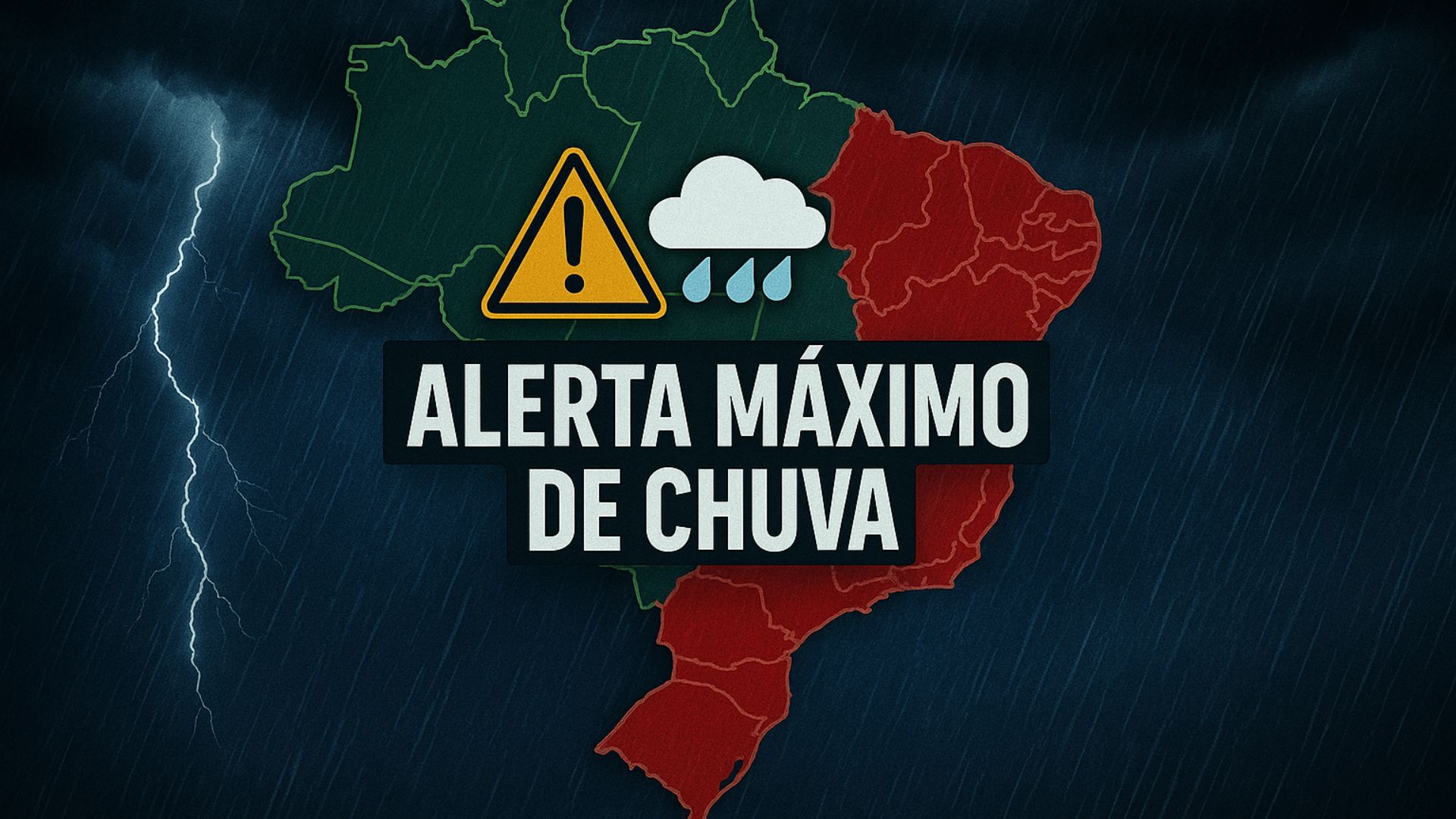
Heavy Rain Forecast, Flood Risk, and Landslide Instability Put Three States on High Alert, While Meteorological Agencies and Emergency Teams Reinforce Attention to Possible Impacts in the Next Hours.
The National Institute of Meteorology (Inmet) issued a red alert for extreme danger due to accumulated rainfall in three states in the Southeast and Northeast, with forecasts of volumes that may exceed 100 millimeters in 24 hours, risk of floods, river overflows, and landslides in vulnerable areas.
The warning is valid from 10 PM on Wednesday (3) to 11:59 PM on Thursday (4).
According to the agency, the forecast indicates precipitation exceeding 60 millimeters per hour or above 100 millimeters per day in parts of Minas Gerais, Espírito Santo, and Bahia.
-
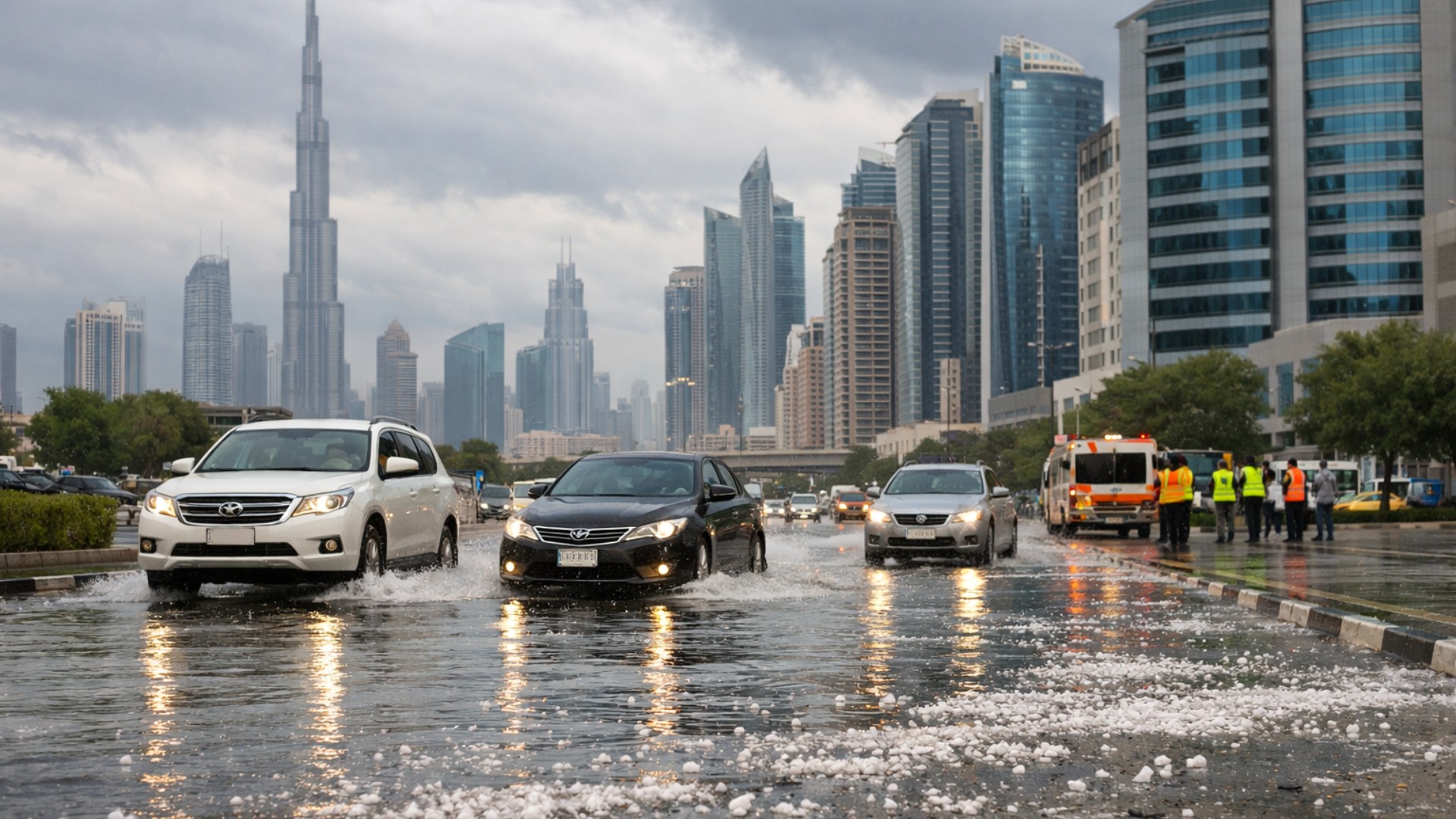
A rare storm transformed part of the Gulf into an unlikely scene of hail, extreme rain, and tornado risk in the middle of the desert, with volumes that exceeded the annual average in a single day.
-
Brazil catches the world’s attention with ships powered by ethanol and biodiesel that have lower emissions, an unprecedented certification with advantages in chartering, and a revolution in cabotage.

-
A couple who only has Sundays free has built a hand-dug pool, a hamburger joint, a dance hall, and a playground in their own home without hiring a mason, and even with breaks due to accidents and the pandemic, the work has never truly stopped.

-
Furniture made with aluminum and glass does not warp and has become an alternative to replace MDF in Brazil.


In these areas, the combination of saturated soil, rugged terrain, and higher urban concentration increases the potential for damage.
Areas Under Red Alert for Heavy Rain
The Inmet’s extreme danger alert affects Minas Gerais, Espírito Santo, and Bahia, focusing on regions with a historical record of occurrences associated with heavy rains, such as landslides, flash floods, and inundations.
In Minas Gerais, the notice includes the metropolitan region of Belo Horizonte, as well as areas of the Vale do Rio Doce, Jequitinhonha, and Vale do Mucuri, which often encounter problems during prolonged episodes of heavy rainfall.
In these locations, the combination of slopes, urbanized areas, and constructions in risk zones requires heightened attention.
In Espírito Santo, the alert covers the Central, North Coast, South, and Northwest areas of the state.
Municipalities in these areas have already faced episodes of flooding and infrastructure damage in other rainy periods, reinforcing the need for monitoring rivers and streams and guidance to the population living in lower areas or near slopes.
In Bahia, the focus of the warning is on the South of the state and the Zona da Mata, where there are cities with a historical record of rapid flooding, especially in neighborhoods along rivers or in areas with poor drainage.
With the forecast of heavy rain in a short period, the chance of flash floods and flooding in urban roads increases.
Expected Risks for Cities in Vulnerable Areas
Inmet warns that the predicted scenario may cause major flooding, with water rising rapidly in streets, garages, businesses, and homes in lower areas or with insufficient drainage.
There is also a risk of river and stream overflows, especially where the water level is already high due to previous rains.
Another point of concern is the risk of landslides in cities with housing in sloped areas or settlements on hills and embankments.
In these regions, saturated soil loses stability, which can cause landslides, rolling of earth blocks, and partial structural collapses in irregular areas.
Authorities emphasize that any signs of land movement, new cracks in walls, fences, or in the ground, as well as doors and windows that start to jam without apparent reason, may indicate instability and should be reported to Civil Defense.

Safety Recommendations Issued by Inmet
In the face of the heavy rain forecast, Inmet advises the population to adopt basic preventive measures.
In case of storms, it is recommended to turn off electrical appliances and the main power supply, whenever possible safely, to reduce the risk of short circuits, shocks, and fires.
Another recommendation is to stay in a sheltered location, avoiding unnecessary movements in areas prone to flooding, flash floods, or falling branches and structures.
In locations with a history of landslides, residents should observe any changes on slopes, such as the appearance of fissures, leaning poles or trees, creaking, and soil movement.
In situations of imminent flooding, the guidance is to protect belongings in plastic bags and, if there is time and safety, raise furniture and appliances to reduce damages from water entering homes.
For emergencies, the public can contact Civil Defense at 199 and Fire Department at 193, which operate on duty for occurrences related to extreme weather events.
Orange Alert for Storms in Other Regions of the Country
In addition to the red alert for extreme danger due to accumulated rainfall, Inmet has also issued an orange alert for danger for heavy rains and storms across a much larger area of the country.
The warning is valid until 10 AM on Thursday (4) and covers various regions in the Center-West, Southeast, North, and Northeast.
According to the institute, storms may occur with rain between 30 and 60 millimeters per hour or 50 to 100 millimeters per day, accompanied by intense winds between 60 and 100 km/h and hail in parts of the Federal District, Minas Gerais, Paraná, Rio de Janeiro, São Paulo, Bahia, Espírito Santo, Mato Grosso, Goiás, Mato Grosso do Sul, and Tocantins.
In another part of the territory, the states of Acre, Amazonas, Rondônia, Mato Grosso, and Pará are also expected to register intense rains, with potential for disruptions in vulnerable areas, although at a lower alert level than the red issued for Minas Gerais, Espírito Santo, and Bahia.
Possible Impacts on Infrastructure and Energy Supply
With the advancement of storms, Inmet emphasizes that there is a risk of power outages, whether due to damage to the distribution network, falling branches and trees on wires, or localized failures in equipment.
The public should avoid contact with downed cables and report immediately to the utility companies or emergency services.
There is also a possibility of damage to crops, especially in agricultural areas exposed to strong winds, hail, and excess water in a short time.
These conditions can damage crops at developmental stages, cause lodging of plants, and compromise production in certain regions.
In cities, the combination of heavy rain, wind, and insufficient drainage can result in flooding, falling trees, roof collapses, and damage to fragile structures, such as billboards and metal roofs.
On highways, deep puddles and landslides can affect traffic and increase the risk of accidents.
Precautions During Wind Gusts and Severe Storms
In case of wind gusts, the guidance is not to seek shelter under trees, as branches can break and hit people, vehicles, or nearby structures.
It is also not recommended to park vehicles near transmission towers, poles, and billboards, which could be toppled by the force of the wind.
During storms with lightning, experts recommend staying indoors or in a safe location, away from windows, and avoiding the use of appliances plugged directly into the outlet.
In open areas, the indication is to seek shelter in secure buildings, avoiding staying in open fields or near tall, isolated objects.
With the combination of red and orange alerts in so many areas of the country, authorities emphasize the importance of following the official bulletins from Inmet and warnings from Civil Defense, as well as the guidance from municipalities and state governments.


-

-

-

-

-

7 pessoas reagiram a isso.