 Portuguese
  English
  Spanish
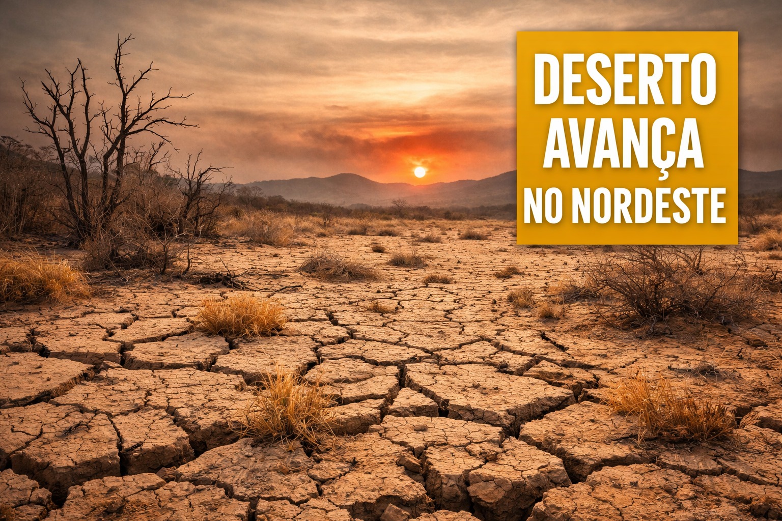
Unicamp Research Creates Innovative Model, Identifies New Desertification Spot in Ceará and Points to the Phenomenon’s Advancement Beyond Historically Affected Areas
The advancement of desertification in Brazil may be greater than indicated by current official maps. A doctoral research developed at the Institute of Geosciences of the State University of Campinas showed that the combination of climate change and intensified human land use is increasing risk areas, especially in the Northeast of the country.
The study was conducted by researcher Mariana de Oliveira, a member of a group investigating how climate variations and human actions impact soils, vegetation, and water resources.
From this work, a specific model was created to estimate the risk of desertification under Brazilian geographical conditions, providing a more detailed understanding of the phenomenon’s dynamics.
-
Motorola launched the Signature with a gold seal from DxOMark, tying with the iPhone 17 Pro in camera performance, Snapdragon 8 Gen 5 that surpassed 3 million in benchmarks, and a zoom that impresses even at night.

-
Satellites reveal beneath the Sahara a giant river buried for thousands of kilometers: study shows that the largest hot desert on the planet was once traversed by a river system comparable to the largest on Earth.

-
Scientists have captured something never seen in space: newly born stars are creating gigantic rings of light a thousand times larger than the distance between the Earth and the Sun, and this changes everything we knew about stellar birth.

-
Geologists find traces of a continent that disappeared 155 million years ago after separating from Australia and reveal that it did not sink, but broke into fragments scattered across Southeast Asia.

Model Identifies Most Vulnerable Areas
To build the model, the research used logistic regression method, gathering empirical data, thematic maps, and satellite images.
The analysis considered five variables identified as critical for the advancement of desertification: land surface temperature, land management practices, vegetation cover, average precipitation, and population density.
By crossing this information, the work mapped the probability of occurrence of the phenomenon in different regions of the country, offering an integrated view of the factors contributing to environmental degradation.
New Spot in Ceará Draws Attention
Among the main results, a possible new desertification spot was identified in an area that had not yet been officially mapped in Ceará, in addition to other zones in the state with high risk of environmental degradation.
According to the research, the scenario reinforces the trend of expanding desertification beyond historically affected areas, driven by both climate changes and inadequate land use practices.
For Flávio Rodrigues do Nascimento, coordinator of the Department for Combating Desertification of the Ministry of the Environment and Climate Change, the methodology represents an important advancement.
He states that the model contributes to more efficient monitoring of degraded areas and allows for a more accurate diagnosis of the most vulnerable regions, supporting public policies for prevention and mitigation. The information is from Jornal da Unicamp.
The phenomenon is also advancing on a global scale. Olhar Digital had previously reported that desertification is growing in other parts of the planet, and according to the UN, 75% of the world’s land has become drier in recent decades.
These data reinforce the magnitude of the challenge and the need for ongoing monitoring and environmental planning actions.
With information from Olhar Digital.


Seja o primeiro a reagir!