 Portuguese
  English
  Spanish
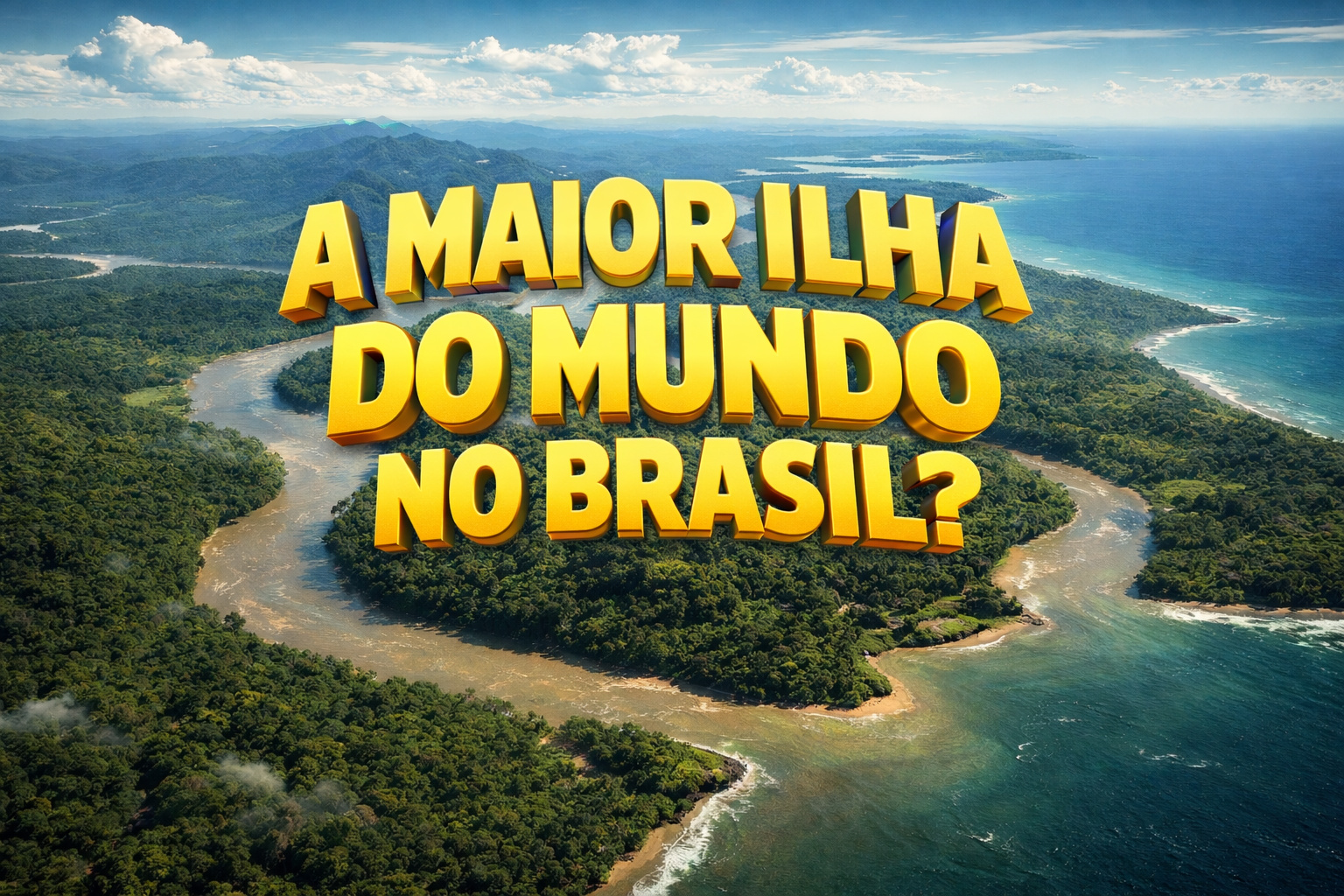


Strategic Region of South America Houses Entire Brazilian States, Millions of Inhabitants, and One of the Largest Concentrations of Biodiversity in the World
One of the largest natural formations in South America remains largely unknown to most Brazilians. The Guiana Island presents itself as a continental fluvio-maritime island, surrounded by large rivers and the Atlantic Ocean, with a land area larger than that of England.
Despite its impressive size, the region remains outside school curricula and receives little attention from the national media. Still, the island encompasses entire states, strategic cities, and a significant portion of the Amazônia, highlighting its environmental importance.

Natural Delimitation Defines the Continental Island
The geographic configuration of the Guiana Island meets the technical criteria that define an island. To the north, the Atlantic Ocean establishes the natural boundary. To the west, the Orinoco River marks the territory’s limit. To the south, the Negro River and the Cassiquiare Canal complete the outline. To the east, the Amazon River seals off the geographic isolation.
-
This small town in Germany created its own currency 24 years ago, today it circulates millions per year, is accepted in over 300 stores, and the German government allowed all of this to happen under one condition.

-
Curitiba is shrinking and is expected to lose 97,000 residents by 2050, while inland cities in Paraná such as Sarandi, Araucária, and Toledo are experiencing accelerated growth that is changing the entire state’s map.

-
Tourists were poisoned on Everest in a million-dollar fraud scheme involving helicopters that diverted over $19 million and shocked international authorities.

-
Hidden beneath the dense forest of the Sierra Nevada, Betoma emerges in a neighbor of Brazil as the greatest archaeological discovery of the century, revealing a colossal ancestral city covering over 18 km², with 8,334 stone structures and the potential to rewrite the history of South American civilizations.

These natural boundaries physically separate the region from the rest of South America. Geographers have recognized this condition since the 1950s, when they classified the area as an island of continental proportions.
Brazilian States and Entire Countries Are Part of the Island
In Brazil, the Guiana Island encompasses the entire state of Amapá, almost all of Roraima, and a large area of Amazonas, including Macapá, Boa Vista, and Manaus. Outside Brazilian territory, the formation includes Guyana, Suriname, French Guiana, and part of the eastern Venezuela.
This territorial continuity connects different countries and cultures within the same geographic space. Furthermore, this integration reinforces the island’s strategic role for environmental and regional stability.
Amazon Biodiversity Strengthens Global Climatic Importance
The Guiana Island concentrates one of the largest biodiversity hotspots on the planet. Since the 1990s, researchers have identified a great variety of plants, birds, reptiles, fish, and mammals in the region. At the same time, scientists estimate that many species are still awaiting cataloging.
In addition to biodiversity, the rivers that cross and surround the island directly influence the rainfall patterns of South America. Climate studies show that the Amazon River plays a decisive role in continental ecological balance.
Social Inequality and Illegal Activities Pressure the Region
Despite its natural wealth, the Guiana Island faces historical challenges. Since the early 2000s, the region has recorded low human development indexes, lack of infrastructure, and difficulties in economic integration. The lack of adequate transportation isolates communities and limits regional development.
At the same time, illegal mining and deforestation have significantly advanced in the past decade. Environmental organizations warn that these practices threaten sensitive biomes, affect traditional populations, and compromise global climatic security.
Recognition and Education Drive Preservation
Experts advocate for the official recognition of the Guiana Island as a strategic territory to ensure its protection. Since 2010, proposals have included greater presence of the topic in school curricula, educational campaigns, and expanded media coverage.
Preserving the Guiana Island means protecting one of the last large-scale natural refuges, promoting environmental justice for the North region, and ensuring future climatic stability.
In light of this heritage, will Brazil continue to ignore its own geography or will it take on the commitment to value it?


Canal do Cassiquiare
O canal é uma ocorrência geográfica raríssima, resultante da captura fluvial de uma bifurcação de outro curso de água, a qual faz da região do estado brasileiro do Amazonas ao nordeste dos rios Solimões e Amazonas, os estados brasileiros do Amapá e Roraima, a parte da Venezuela a leste do Orinoco e as três Guianas uma única e gigantesca ilha marítimo-fluvial,[2] a Ilha das Guianas,[3] tecnicamente a segunda maior ilha do mundo atrás somente da Groenlândia. (Via Wikipédia).
Porque não colocaram um mapa na matéria? Uma reportagem de geografia sem um mapa?
Pra se entender a dimensão da ilha é necessário um mapa.
Mais uma **** deste site.
Como o Amapá, parte do Amazonas e de Roraima fariam parte daquela ilha sem que o Pará tbm fizesse? Toda a parte norte do Pará faz parte da tal ilha, ou seja, tudo (do PA) que estiver ao Norte do Rio Amazonas.