 Portuguese
  English
  Spanish
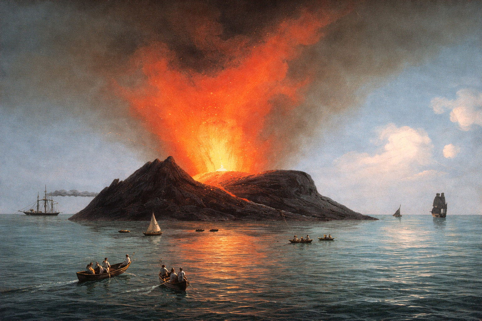

A Rare Geologic Phenomenon Transforms the Seafloor into Disputed Territory, Intrigues Navigators for Centuries, and Continues to Challenge Maps and Experts
A natural phenomenon of great historical and scientific impact has been repeatedly recorded in the Mediterranean Sea, between Sicily and Tunisia, drawing attention since Antiquity.
It is an ephemeral volcanic island that has emerged and disappeared at least four times over approximately 2,300 years, always driven by underwater eruptions.
The formation has been known by different names over time, such as Graham Island, Isola Ferdinandea, and L’île Julia, reflecting political and cartographic disputes.
This unusual behavior is directly linked to the activity of the Empedocles submarine volcano, whose crater remains just below the ocean surface.
Thus, the island has become one of the most emblematic cases of temporary territory ever recorded in European history.
Volcanic Origin Explains the Cycle of Appearance and Disappearance
The basis of this phenomenon lies in the structure of the Empedocles volcano, which measures approximately 30 kilometers by 25 kilometers and is about 400 meters in total height.
Currently, the top of the crater is located about nine meters below sea level, which explains its geographical instability.
Whenever intense underwater eruptions occur, magma comes into contact with water, solidifies rapidly, and thus forms an emerging landmass.
However, since the material is primarily composed of fragile rocks, marine erosion acts quickly.
As volcanic activity weakens, the waves dismantle the structure, causing the island to disappear once again.
1831 Record Marks the Most Documented Episode
The best-documented event occurred on July 12, 1831, when sailor Ferdinando Caronna from Naples reported an intense column of smoke rising from the sea.
Initially, many believed it was a burning ship, but in the following days, volcanic activity became evident.
The water began to bubble intensely, while rocky fragments gradually emerged.
Five days later, the island had already reached sufficient dimensions to receive visits and symbolic acts of possession.
At that moment, the Kingdom of the Two Sicilies claimed the territory, using simple objects as markers of sovereignty.
-
While Brazil wants to end the 6×1 work shift, the president of Argentina wants 12 hours for his workers, increasing political tension in the country.

-
The village where two rivers run side by side without mixing in Santarém and Alter do Chão reveals some of the most beautiful freshwater beaches on the planet.
-
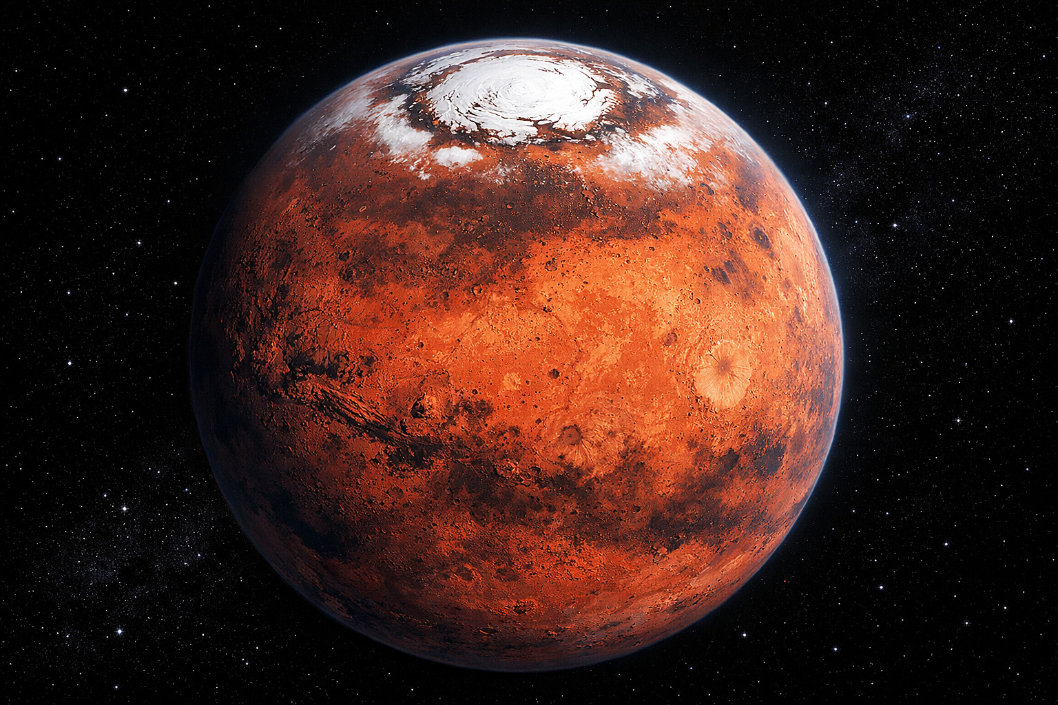
Mars is accelerating, and scientists have discovered that the planet’s day is getting shorter, revealing surprising signs of internal activity.
-
Artemis 2 is set to launch on April 1 at 7:24 PM to orbit the Moon with four astronauts, but a class X solar flare and coronal mass ejection could interfere with communications and threaten the launch.


Dimensions, Disputes, and Rapid Decline of the Island
At the height of its formation, still in 1831, the island reached about 1,528 meters in diameter and approximately 63 meters in height above sea level.
This size attracted scientists, curious individuals, and representatives from various European powers.
The strategic location in the Sicilian Canal increased diplomatic interest, as the area held military and commercial importance.
However, less than six months after its formation, the island began to be consumed by the waves.
Shortly thereafter, it completely disappeared beneath the sea, ending the most emblematic episode of its history.
New Appearances and Symbolic Attempts at Preservation
There are indications that the island briefly reappeared in 1863, although in a reduced size and with less impact.
By 2000, reports of seismic activity reignited speculation about a possible return.
In light of this, Italian authorities organized an expedition to install a submerged marble plaque atop the crater.
The act involved the presence of descendants of the former Kingdom of the Two Sicilies and was symbolic in nature.
Nevertheless, the plaque was destroyed by the sea within months, and the island did not emerge again.
Invisible Presence Still Concerns Navigation
Despite being submerged, the formation is still indicated on modern nautical charts, as it poses a real risk to vessels.
This is because many ships have a draft greater than the nine meters deep where the top of the volcano is located.
Additionally, the island falls into the category of so-called “ghost islands”, formations that appear in maps, accounts, or historical records but do not exist permanently.
Cartography and geology studies continue to use this case as a classic example of ephemeral territory.
Thus, even invisible, the island remains present in science, history, and navigation.
In the face of a phenomenon that reappears, disappears and continues to influence maps and disputes, to what extent can geography be considered truly definitive?


There was a volcanic island in the Pacific Ocean during the 20th century. It was formed from a type of rock that eroded very quickly, but scientists managed to get a sample.
Obviously as an active volcano below sight level, but very much relevant to the surrounding marine activity, it is necessary a monitoring authority is permanently established, depending on the nearest nation recognised by the UN.
This would then enable permanent mapping of it location and boundaries, and thus accurate marine charting within recognisable parameters.
Meanwhile up in Scotland there’s a large creature living in the water which no one can take a decent photo of.
Sounds like a fairy story, like giant ship eating squid/octopus.