 Portuguese
  English
  Spanish
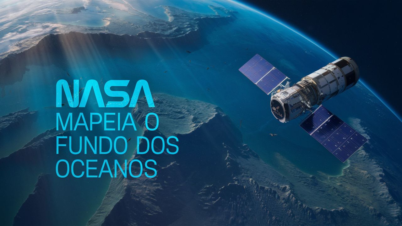
With High-Tech Satellites, NASA Revealed More Than 10,000 Submerged Formations, Mapping 70% of the Ocean Floor with Unprecedented Precision and Revolutionizing Climate Science and Marine Exploration.
The oceans cover more than 70% of the planet’s surface, but much of what is hidden beneath the waves remains a mystery. Even with decades of technological advances, mapping the ocean floor continues to be one of science’s greatest challenges. Fortunately, NASA is using its space expertise to give us an unprecedented view of the planet’s depths.
With cutting-edge satellites, NASA and its partners have unveiled stunning details of the seafloor, revealing underwater mountains, canyons, and other formations that were previously invisible. But why is this mapping so important? And how is it being done?
Why Mapping the Ocean Floor Is Such a Big Challenge?
Until recently, mapping the seafloor relied on ships equipped with sonars that emitted sound waves to “read” the underwater topography. While efficient in small areas, this method is extremely slow and costly. Mapping all the oceans in this way would take over 100 years of continuous work. Many remote areas remain inaccessible.
-
Motorola launched the Signature with a gold seal from DxOMark, tying with the iPhone 17 Pro in camera performance, Snapdragon 8 Gen 5 that surpassed 3 million in benchmarks, and a zoom that impresses even at night.

-
Satellites reveal beneath the Sahara a giant river buried for thousands of kilometers: study shows that the largest hot desert on the planet was once traversed by a river system comparable to the largest on Earth.

-
Scientists have captured something never seen in space: newly born stars are creating gigantic rings of light a thousand times larger than the distance between the Earth and the Sun, and this changes everything we knew about stellar birth.

-
Geologists find traces of a continent that disappeared 155 million years ago after separating from Australia and reveal that it did not sink, but broke into fragments scattered across Southeast Asia.

The oceans are immense and full of challenges. Their depths hide valleys, mountains, and complex ecosystems, and they are constantly influenced by currents and climatic phenomena. This makes detailed mapping a real puzzle for scientists.
How NASA Is Using Satellites to Map the Oceans?
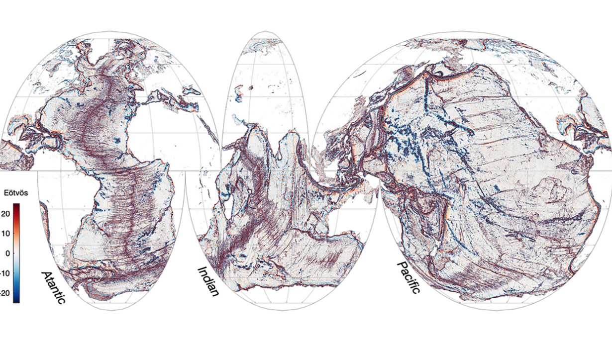
Satellites use radar altimeters to measure small variations in sea surface height. These variations reflect what lies beneath, allowing scientists to infer the underwater topography. It’s like trying to understand the shape of a blanket by looking at the ripples on the surface.
The Surface Water and Ocean Topography (SWOT) mission, a collaboration between NASA and the French space agency CNES, brought a significant breakthrough. With more sensitive sensors, SWOT has already identified thousands of previously unknown underwater formations, including peaks that influence currents and marine ecosystems. In just one year, SWOT surpassed decades of data collected by traditional methods.
The Impacts of Detailed Ocean Mapping
The oceans play a crucial role in regulating the climate, moving heat and carbon around the planet. Mapping the seafloor helps scientists better understand how these currents work and how they can be affected by climate change. Small improvements in ocean models can lead to much more accurate climate predictions.
Detailed maps of the seafloor are also vital for safe navigation and the exploration of natural resources. For example, fishermen can identify areas of higher fish abundance, while engineers can better plan underwater projects, such as cables and oil platforms.
The Future of Ocean Mapping
Projects like Seabed 2030 aim to map 100% of the ocean floor by the end of this decade. To achieve this, scientists are combining satellite data, autonomous vessels, and machine learning. It is a global effort that promises to fill the gaps in our knowledge about our oceans.
Every year, new technologies are developed to make mapping faster and more accurate. Satellites with more sophisticated sensors, coupled with artificial intelligence tools, can completely transform our understanding of the ocean depths.
Mapping the ocean floor is an essential piece for understanding our planet, protecting its resources, and preparing for the climate challenges of the future. Thanks to NASA and other initiatives, we are getting closer to unraveling the mysteries of the depths.


-

4 pessoas reagiram a isso.