 Portuguese
  English
  Spanish
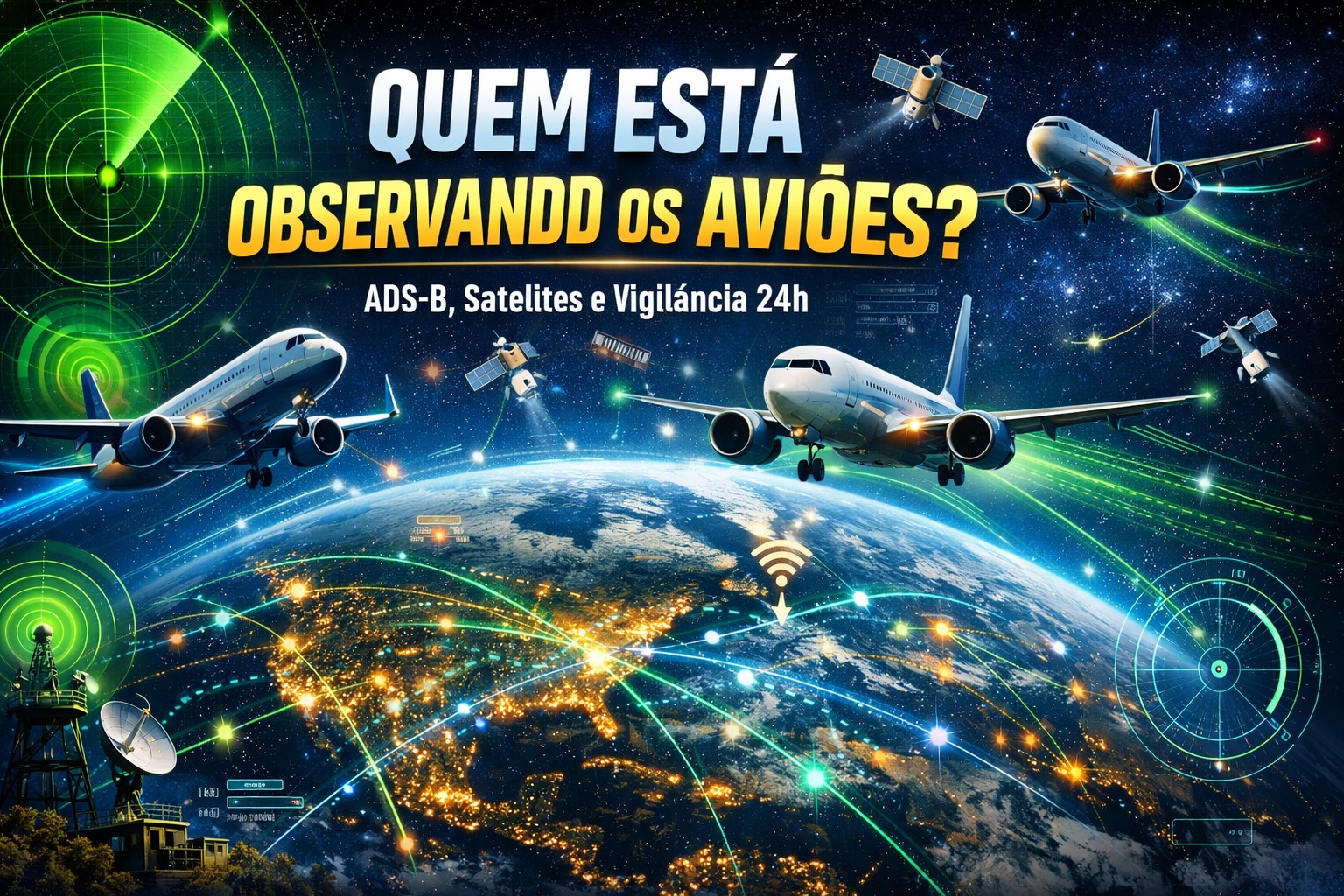
Global Aircraft Tracking Involves ADS-B, Military Radars, Satellites, and Centers Like NORAD, FAA, and Eurocontrol, Forming a 24-Hour Continuous Air Surveillance Network.
When a plane takes off from São Paulo heading to London, it is not only monitored by the airport control tower or air traffic control along the route. The flight becomes part of a global surveillance mesh that combines civil radars, military sensors, low earth orbit satellites, and strategic monitoring centers capable of tracking thousands of aircraft simultaneously. What many imagine as “air traffic control” is, in reality, a multi-layered system that involves civil and military technology operating in an integrated manner.
ADS-B: The Foundation of Modern Flight Tracking

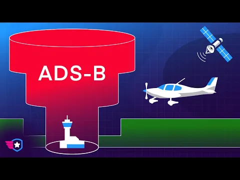
At the center of modern civil aviation is ADS-B (Automatic Dependent Surveillance–Broadcast).
This system automatically transmits several times per second:
-
Motorola launched the Signature with a gold seal from DxOMark, tying with the iPhone 17 Pro in camera performance, Snapdragon 8 Gen 5 that surpassed 3 million in benchmarks, and a zoom that impresses even at night.

-
Satellites reveal beneath the Sahara a giant river buried for thousands of kilometers: study shows that the largest hot desert on the planet was once traversed by a river system comparable to the largest on Earth.

-
Scientists have captured something never seen in space: newly born stars are creating gigantic rings of light a thousand times larger than the distance between the Earth and the Sun, and this changes everything we knew about stellar birth.

-
Geologists find traces of a continent that disappeared 155 million years ago after separating from Australia and reveal that it did not sink, but broke into fragments scattered across Southeast Asia.

- Aircraft GPS Position
- Altitude
- Speed
- Direction
- Flight Identification
Unlike traditional radar, ADS-B does not rely solely on signal “echoes.” It uses satellite navigation data sent directly by the aircraft.
The FAA (Federal Aviation Administration) of the United States made ADS-B mandatory for a large portion of controlled airspace starting in 2020. In Europe, Eurocontrol coordinates a similar implementation.
Today, virtually all commercial aircraft in international operations continuously transmit ADS-B signals.
Primary and Secondary Radars: The Traditional Layer
Even with ADS-B, conventional radars remain active. There are two main types:
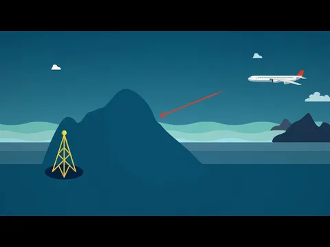
- Primary Radar: emits a pulse that reflects off the aircraft, detecting any flying object.
- Secondary Radar (SSR): queries the aircraft’s transponder to receive identification and altitude.
This redundancy is fundamental. If ADS-B fails or is turned off, primary radars can still detect targets. Control centers combine this data to ensure accuracy and safety.
Satellites: The Tracking That Covers Oceans and Remote Regions
For decades, tracking aircraft over oceans was a challenge. Ground radar coverage is limited to the horizon. The change came with the use of satellites to capture ADS-B signals.
Companies like Aireon, in partnership with the Iridium organization, began using low earth orbit satellite constellations to capture aircraft transmissions from anywhere on the planet.
This means that it is now possible to track a flight over the Atlantic or Pacific in almost real-time.
Authorities like NAV Canada and European agencies use this data to strengthen air surveillance in oceanic areas.
NORAD: The Military Air Surveillance of North America
While the FAA and Eurocontrol manage civil aviation, air defense involves military structures.
The NORAD (North American Aerospace Defense Command), formed by the United States and Canada, monitors North American airspace 24 hours a day.
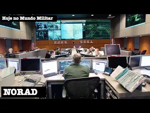
Based in the subterranean complex of Cheyenne Mountain, Colorado, NORAD integrates:
- Long-range ground radars
- Early warning sensors
- Launch detection satellites
- Military interceptors
Although the primary focus is defense against strategic threats, the system also monitors potentially suspicious air traffic.
Underground Centers and Strategic Monitoring
Some of the most sensitive air surveillance centers are located in underground or fortified facilities. The Cheyenne Mountain complex, for example, was designed during the Cold War to withstand nuclear attacks.
These centers integrate information from:
- Civil aviation
- Military aviation
- Space sensors
- Defense radars
This integration allows for the detection of route deviations, communication failures, and aerial threats.
How Many Flights Are Monitored Per Day?
Before the pandemic, the world recorded over 100,000 commercial flights per day. Even with seasonal variations, tens of thousands of aircraft are simultaneously in the air at any moment.
This massive amount of information is processed by automated systems and supervised by human controllers. Global tracking is not completely separated between civil and military.
In specific situations, such as aircraft that stop responding to control or enter restricted areas, military systems may take over more stringent monitoring.
Events like the September 11, 2001 attacks led to an increase in cooperation between civil and military agencies.
Today, international protocols determine coordinated responses in cases of threat.
Security and Transparency
A curiosity of the modern world is that part of global tracking has also become public. Commercial platforms like FlightRadar24 and FlightAware use ADS-B signals captured by ground stations to display flights in real time for any user.
However, what appears on these sites represents only a fraction of the complete air surveillance architecture. Military systems and strategic centers operate with additional layers of information that are not disclosed to the public.
The Role of Eurocontrol and European Coordination
In Europe, Eurocontrol coordinates the management of airspace for dozens of countries.
- Route planning
- Congestion control
- Cross-border coordination
- Continuous traffic monitoring
The complexity is enormous: flights cross national borders in minutes, requiring constant transfer between regional centers. The key feature of the global tracking system is redundancy.
- If a satellite fails, ground radars continue operating.
- If a radar becomes inoperative, neighboring systems cover the area.
- If a transponder fails, primary radar detects the aircraft.
This overlap reduces risks and increases operational safety.
The Challenge of the Future: Drones and Autonomous Flights
With the growth of commercial drones and electric air taxi projects, the global system faces new challenges. The integration of these aircraft into traditional traffic requires:
- New identification protocols
- Automated monitoring
- Drone Traffic Management Systems (UTM)
Authorities like the FAA and EASA are already working on adaptations to handle the increasing air volume.
The system that tracks every flight on the planet is much more complex than a simple control tower.
It is a distributed, interconnected, and permanent network, operating 24 hours a day, capable of monitoring thousands of aircraft simultaneously across all continents.
There is no single building that represents this global surveillance. It starts with sensors scattered around the planet, passes through satellites orbiting the Earth, and ends in highly protected command centers.
And all of this happens in silence while millions of passengers fly daily without realizing the massive infrastructure that accompanies every kilometer traveled in the sky.


Seja o primeiro a reagir!