 English
  Francês
  Alemão
  Italiano
  Japonês
  Norueguês
  Portuguese
  Spanish
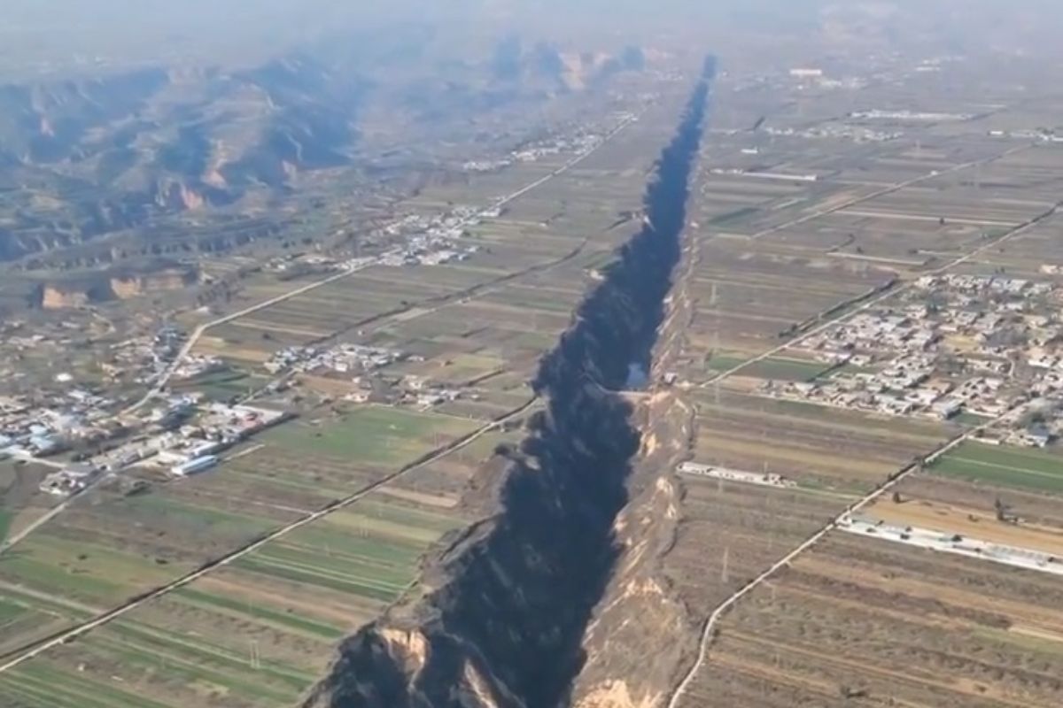
Images Of A Supposed 300 km Crack In China Went Viral, But The Geological Reality Of The Region Is An Even More Complex And Dangerous Phenomenon That Combines Earthquakes, Mining, And Land Subsidence.
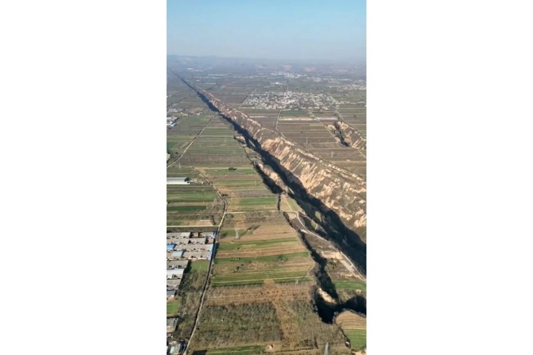
The image of a colossal fissure cutting through the Chinese landscape went viral on platforms like Reddit, fueling the narrative that the Shanxi Rift is a 300 km crack in the Earth’s crust. Often mistakenly associated with recent earthquakes, the striking image represents a misunderstanding of the region’s actual geology.
However, the viral video is misleading. But the truth is even more alarming: the province of Shanxi is indeed home to one of the most active geological fault systems in China. The real danger does not come from a single spectacular ‘rift’, but from a network of hundreds of ground fissures, a complex phenomenon where nature’s forces are drastically accelerated by human action.
The Viral Video And The Reality: It Is Not A Tectonic Rift, It Is A Gully
The rift valley is located in Pinglu, Shanxi on the Loess Plateau, a highland area in north-central China covering some 400,000 square km. It was formed due to movements within the earth's crust and its about 10 km long. FROM: Massimo
byu/MartianXAshATwelve inStrangeEarthARTICLE CONTINUES BELOWSee also
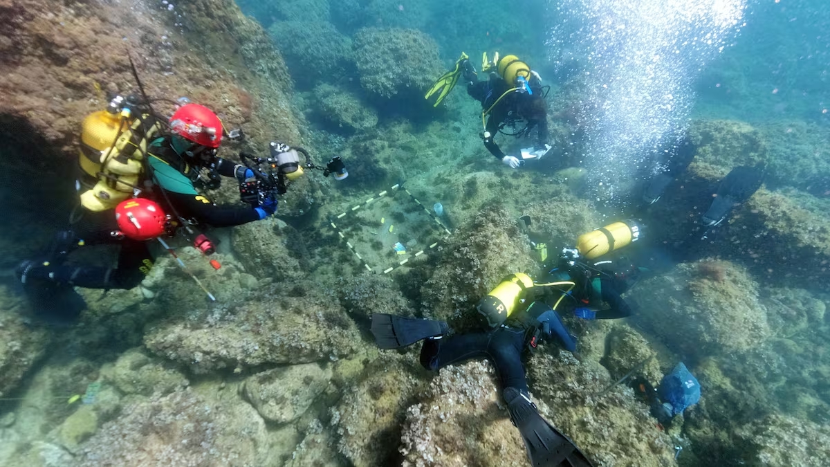
Explorers find Roman treasure trapped between rocks on the seabed for nearly 1,600 years and reveal a desperate attempt to hide 53 gold coins during the invasions of the Empire.
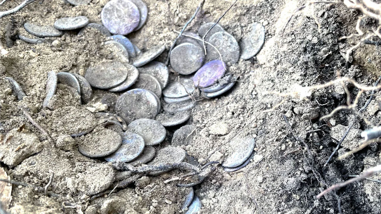
Archaeologists discover Roman vase buried for over 2,000 years with more than 175 intact gold and silver coins, revealing a desperate strategy to protect wealth during the collapse of the Empire.
With 241 meters, 48 thousand tons, and a structure designed to accompany aircraft carriers at sea, the Chinese ship that refuels fleets in motion was born to push Beijing away from the coast and has become the hidden gear of its naval projection.

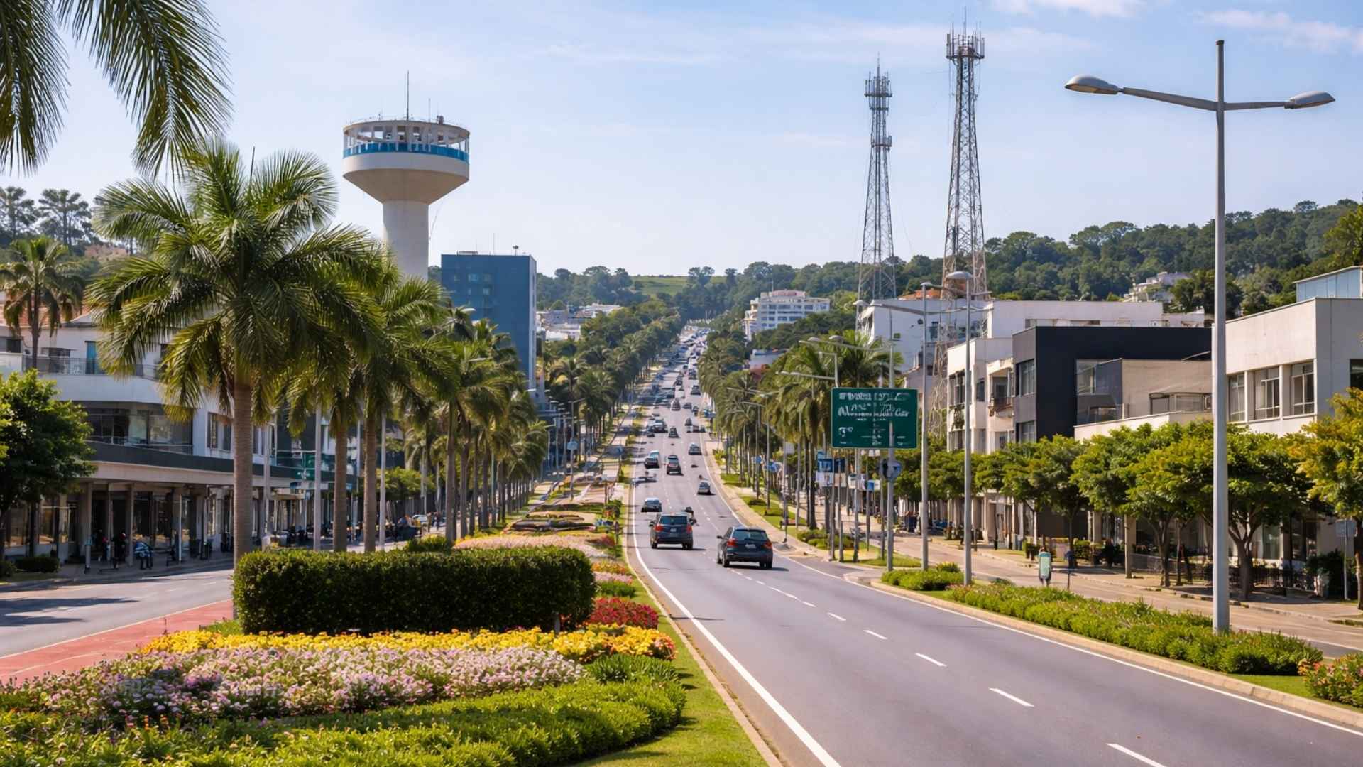
“Discreet” city in the interior of SP stands out among the smartest in Brazil thanks to a national ranking.
Fact-checking reveals that the famous viral video was filmed in Pinglu County, Shanxi province. However, the geological feature shown is not a tectonic fissure. It is a deep gully, resulting from fluvial erosion, a process where rivers and rain have sculpted the characteristic Loess Plateau of the region over thousands of years.

The notable appearance of “crack” in some of these gullies is due to the fact that rivers often follow the path of straight and pre-existing fractures in the Earth’s crust. The image is real, but its cause is erosion, not an acute tectonic event.
The True Geological Danger: What Is The Shanxi Graben System?
The true and significant geological feature of the region is the Shanxi Graben System, also known as the Fenwei Basin. Imagine the Earth’s crust as the skin of a slowly stretching loaf of bread: in some spots, it begins to sink and tear in the middle. This is an active continental rift system, and that is exactly what is happening in Shanxi. The structure, shaped like an “S”, extends approximately 1,200 km in length.
This is one of the most seismically active areas in China. Historical records document devastating events such as the Hongdong earthquake of 1303, with a magnitude of 8.0, one of the most powerful ever recorded within a continental plate. The fault system remains active, with over 32,000 earthquakes recorded since 1970, making the region a constant danger zone.
The Causes Of The Fissures: The Combination Of Earthquakes And Human Action
The main risk in the Shanxi Rift region is not a single crack, but a network of ground fissures. These fissures represent a “complex georisk”, where the natural predisposition is amplified by human action.
Tectonic Cause: The slow movement of deep geological faults creates a tension field that propagates to the surface, forming fissures.
Human Action (Cities): In urban areas, such as the megacity of Xi’an, the over-extraction of groundwater for industrial and domestic use is the main trigger. The withdrawal of water causes land subsidence, which reactivates underground faults and opens or widens fissures on the surface.
Human Action (Industry): In other areas, underground coal mining is the major villain. The removal of coal creates voids underground, leading to surface collapse and the formation of cracks that can exceed 2 meters in width.
The Impact Of The Shanxi Rift On The Surface: Damage To Cities And Agriculture
The ground fissures tear apart the fabric of modern life. They destroy the foundations of homes, split roads and railways in half, compromise bridge structures, and break water pipes. Economic losses in northern China due to these fissures are estimated to be around US$ 6.4 billion.
The environmental impact is also severe. The fissures accelerate erosion, degrade soil quality, and can alter the flow of groundwater, contaminating aquifers. In agriculture, soil instability and loss of moisture reduce crop productivity, creating a cycle of land degradation.
Monitoring The Giant: How Science Follows The Evolution Of The System
To manage this ongoing risk, scientists employ cutting-edge technologies. Satellite systems such as high-precision GPS and InSAR (interferometric radar) are used to map and monitor ground deformation over large areas with millimeter precision.
These technologies allow to create a detailed map of the activity of the Shanxi Rift, identifying high-risk areas and providing essential data for urban planning and disaster management. Mitigation of the problem involves integrated water resource management, more sustainable mining practices, and engineering projects that take into account the instability of the terrain.


-

-

-

4 pessoas reagiram a isso.