 Portuguese
  English
  Spanish
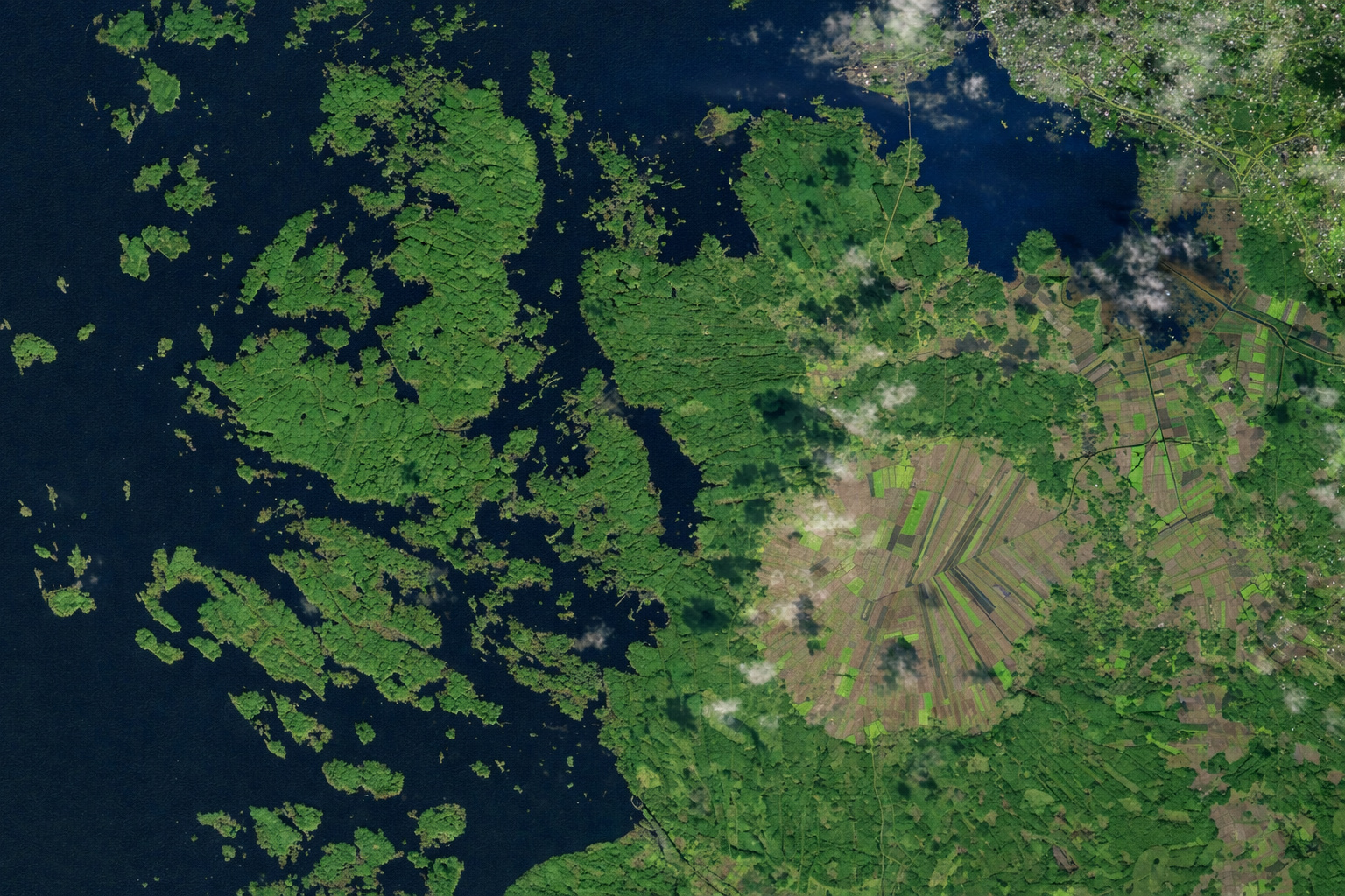
In Finland, an ancient impact crater has turned into agricultural land and forms a nearly perfect circle that resembles a landscape from another planet seen from space.
In 2023, images analyzed by NASA’s Earth Observatory once again highlighted one of the most unusual formations in Europe: the Söderfjärden plain, located in western Finland, near the city of Vaasa. At first glance, the area appears to be just a common agricultural region, but when viewed from space, it reveals an impressive detail: a nearly perfect circular outline about 6 kilometers in diameter.
This shape is not a coincidence. The area corresponds to an ancient impact crater formed approximately 520 million years ago, during the Cambrian period. Over millions of years, the structure was filled with sediments, leveled, and subsequently converted into one of the most fertile agricultural areas in the region. The result is a rare phenomenon: a geological formation of extraterrestrial origin transformed into productive land and visible from space as an almost geometric circle.
6 km diameter crater formed by meteorite impact preserves recognizable shape
The origin of Söderfjärden dates back to a violent event when a meteorite struck the region and created a large crater. Although the original relief has been softened over time, the circular outline remains discernible in satellite images and topographic analyses.
-
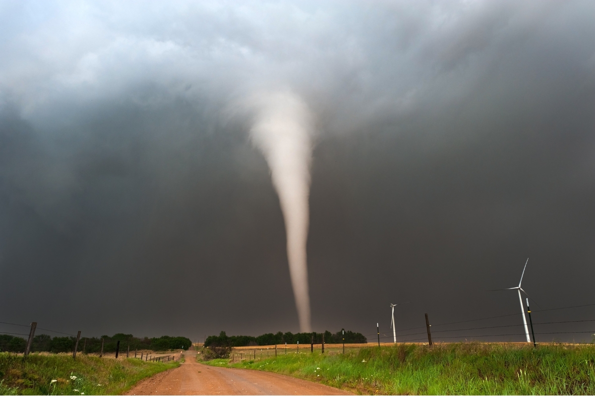
A 19-year-old is ripped from a mobile home by an F2 tornado, thrown 398 meters, survives with minor injuries, and enters the Guinness World Records in one of the most extreme cases ever recorded in meteorology.
-
Embraer proves that the KC-390 Millennium achieves 100% reliability in tests in the Arctic, operating in extreme cold in Sweden with short takeoffs, quick deployment, and simultaneous transport of heavy vehicles and troops.

-
Extratropical cyclone and cold front generate alerts for storms with winds of up to 90 km/h, occurring between April 6 and 10, advancing through 3 regions and risk of heavy rains in the South, Southeast, and Midwest.

-
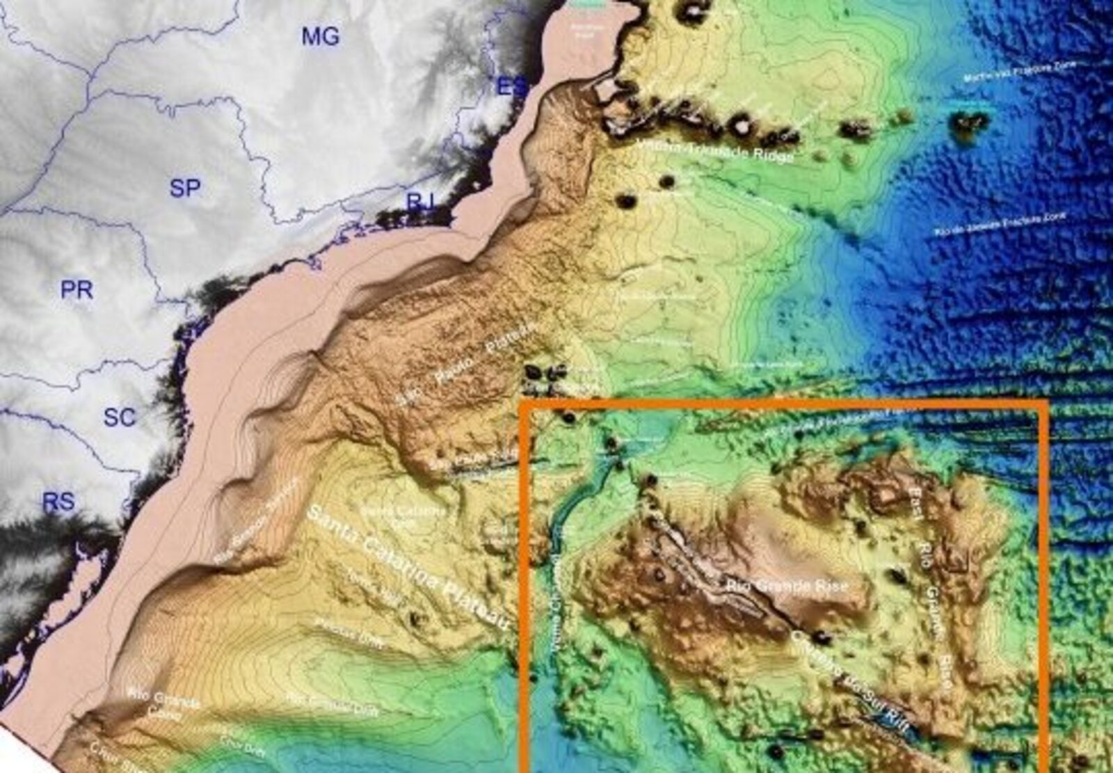
Trapped between layers of lava for 44 million years, an ancient tropical island in the Atlantic is back on the map and puts Brazil in contention for valuable minerals on the seabed.


According to geological studies and data released by NASA, the structure has approximately 6 kilometers in diameter, which places it among the best-preserved impact craters in the Scandinavian region. Even after hundreds of millions of years of erosion, the circular pattern can still be clearly identified, especially when compared to the surrounding terrain.
Sedimentary soil transformed ancient crater into highly productive agricultural area
After the impact, the crater underwent a long sedimentation process. Layers of clay, silt, and other materials accumulated over time, creating a relatively flat and fertile soil.
This process transformed the area into a suitable environment for agriculture. Today, Söderfjärden is used for the cultivation of various crops, taking advantage of the soil’s fertility and the uniform topography.
The conversion of an impact crater into agricultural land demonstrates how geological processes can, over millions of years, create favorable conditions for human activities.
Perfect circular shape draws attention in satellite images and reinforces extraterrestrial origin
What makes Söderfjärden especially relevant from a visual standpoint is the clarity of its shape when viewed from above. Unlike other more degraded craters, this structure maintains a well-defined circular design, making it easily identifiable in orbital images.
This pattern draws attention because it contrasts with the typical irregularity of natural and agricultural landscapes. The almost geometric shape creates the impression of artificial intervention when, in reality, it is the result of a natural event that occurred hundreds of millions of years ago.
NASA frequently uses the region as an example of how ancient geological formations can still be recognized by modern satellites.
Area also serves as a strategic point for migratory birds in Europe
In addition to agriculture, Söderfjärden plays an important role in the regional ecosystem. The area is known to be a stopover point for migratory birds, especially during certain times of the year.
The open plain, combined with the availability of food, creates a favorable environment for different species. This transforms the region into a site of interest not only for agriculture but also for environmental and scientific purposes. This multiple use reinforces the area’s importance as an integrated system where geology, agriculture, and biodiversity coexist.
Scientific studies use the crater to understand impacts and geological evolution
Söderfjärden is also the subject of scientific research. The analysis of its structure helps geologists better understand the processes associated with meteorite impacts, including rock deformation and sediment deposition. The preservation of the shape and internal layers allows studies on:
- Dynamics of ancient impacts;
- Evolution of the terrain over millions of years;
- Interaction between geology and land use.
These characteristics make the region a natural laboratory for scientific investigations.
Comparison with other craters reinforces the uniqueness of the Finnish agricultural area
Although there are other impact craters around the world, few exhibit the same level of visual preservation combined with intensive agricultural use. In many cases, these structures are covered by forests, water, or urban areas.

In the case of Söderfjärden, agricultural occupation helps maintain the visibility of the outline, as the open terrain facilitates the identification of the circular shape. This factor makes the region particularly interesting in satellite images, where the contrast between the crater and the surroundings is more evident.
The case of Söderfjärden shows how cosmic events can influence land use millions of years later
The existence of agricultural land within an ancient impact crater highlights an unusual connection between extreme geological events and current land use. A phenomenon that occurred over half a billion years ago has indirectly created favorable conditions for modern agricultural production.
This type of relationship demonstrates how long-scale natural processes can directly influence human activities, even when separated by millions of years. The case of Söderfjärden combines geology, agriculture, and spatial observation in a single scenario that draws attention for both its history and its visual appeal.
In your opinion, could this type of landscape exist in other parts of the world without us noticing? Leave your comment.


Seja o primeiro a reagir!