 Portuguese
  English
  Spanish
Mapping Conducted in the Fields of Urucu, Juruá and Araracanga, in Amazonas, Has Been Extended to the Recôncavo Baiano, in the Northeast.
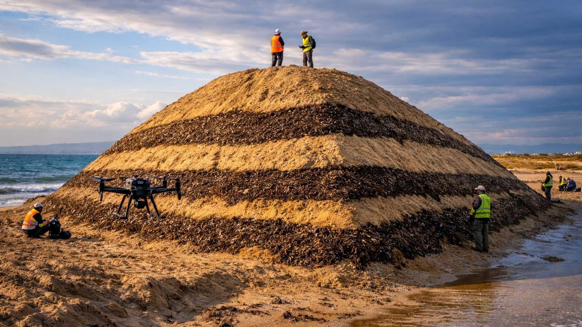
Petrobras announced yesterday (07/05) that the Petrobras Research and Innovation Center (Cenpes) developed a digital soil mapping project, which has already managed to map an area of 18,700 km² (equivalent to 85% of the territory of Sergipe). Initially conducted in the fields of Urucu, Juruá and Araracanga, in Amazonas, the mapping has also been extended to the Recôncavo Baiano, one of the main oil exploration areas in the Northeast.
According to Petrobras, to carry out this digital mapping work, the Cenpes team created an algorithm that allows, from the study of a smaller area, to extrapolate the mapping to a larger territory using digital tools. With this new methodology, the mapping cost was reduced by 16 times – and the methodology can be replicated in other areas.
Digital Mapping Defines Routes for Monitoring Production Installations, Strengthening Accident Prevention.
With the mapping, it is possible to identify areas where construction causes less impact and define routes for monitoring production installations, strengthening accident prevention.
-
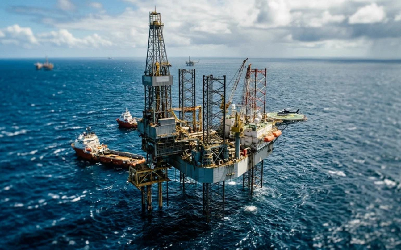
Brazilian giant expands borders in the Southeast: Petrobras confirms new oil discovery in ultra-deep waters in the pre-salt of the Campos Basin.
-
Alert in the global energy market: Severe tropical cyclone hits the coast and disrupts gas production at major plants in Australia, threatening global supply.
-
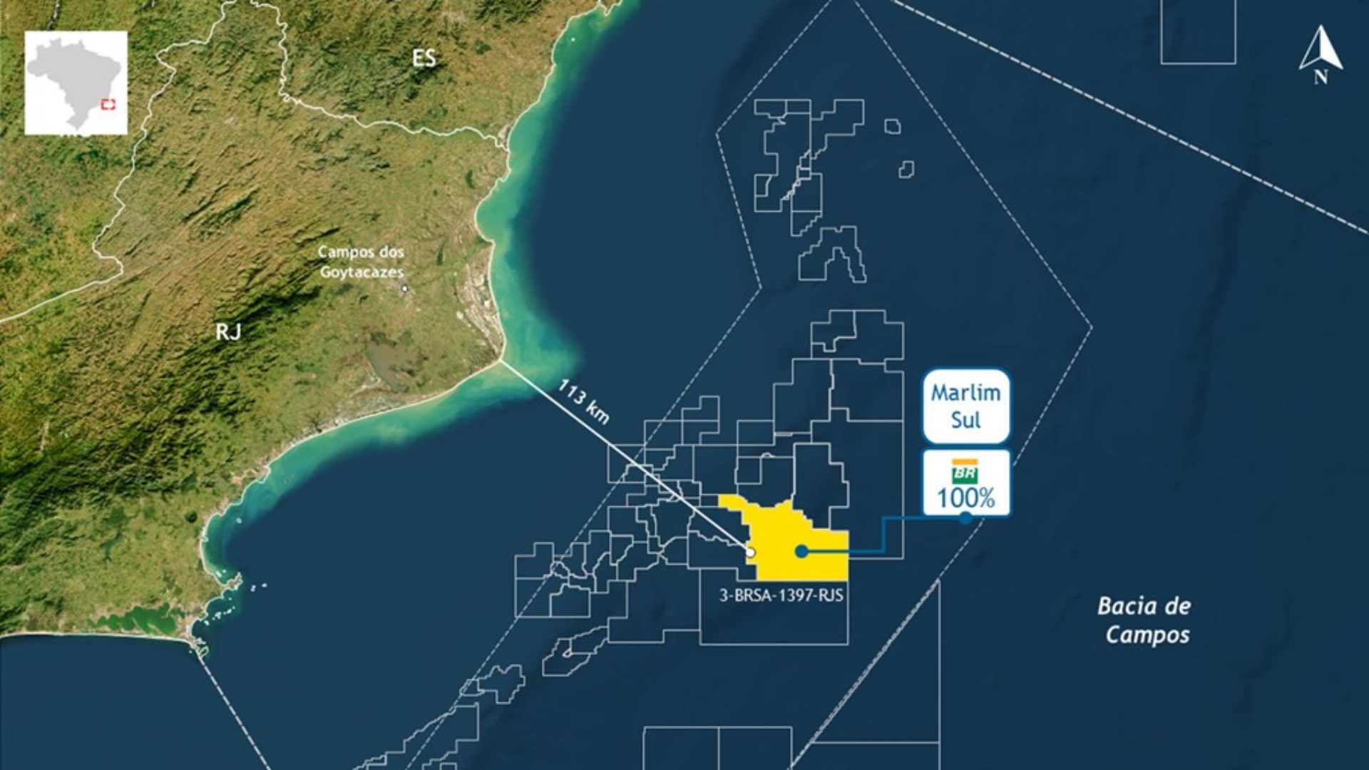
Petrobras finds high-quality oil in the pre-salt at 113 km from RJ and reignites expectations about strategic reserves in the Campos Basin.

-
Ocyan opens registrations for startups focused on innovation in the oil and gas sector and will select projects for Innovation Day with the support of Nexio.


Furthermore, a contribution of this research was the mapping of carbon stocks in environments where there are still knowledge gaps, such as in forest soil and flooded areas, revealing unprecedented data about carbon in these environments.
These data will assist the company in calculating carbon sequestration in preserved or recovered areas, contributing to better quantification of the climate benefit of these actions and the possible conversion into carbon credits.


Seja o primeiro a reagir!