 Português
  Inglês
  Espanhol
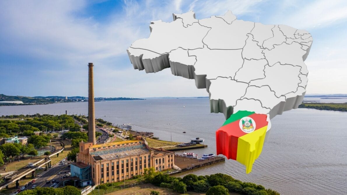

Due to its unique position in the climatic transition zone and a challenging geography, Rio Grande do Sul faces devastating floods, exacerbated by the interaction between warm and cold air masses and a complex system of watersheds that increases the vulnerability of several cities to frequent and severe flooding.
In early May 2024, a series of floods hit Rio Grande do Sul, destroying infrastructure and displacing communities. This catastrophe is not just an isolated event but a reflection of the geographical and climatic challenges that the region faces due to its unique location.
The state is located in the transition zone between tropical and polar air masses, creating a scenario for the meeting of different climatic fronts. At the end of April 2024, a cold air mass from Argentina met a warm air mass dominating Brazil. This encounter did not result in a mix, but rather in the rise of the warm air mass, forming an intense cold front. The rapid ascent of the warm air led to the formation of cumulonimbus clouds, associated with heavy precipitation—more rain, therefore, in an already vulnerable area.
Geography of Rio Grande do Sul Complicates the Situation Even Further
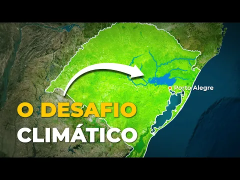
The geography of Rio Grande do Sul complicates the situation even further. With several watersheds, including those of the Taquari Valley and the Taquari-Antas River basin, the region is predisposed to flooding. The cities located in the valleys, such as Mussum, Roca Sales, and Encantado, become vulnerable when the rivers that run parallel to them overflow.
-
São Paulo surprises the world with a colossal railway network project that promises over 1,000 km of tracks, R$ 194 billion in investments, and 40 projects connecting the capital to the interior with fast and sustainable trains.

-
The world’s largest escalator, measuring 905 meters in China, reduces urban travel time from 1 hour to about 20 minutes and transforms mobility in mountainous regions with an engineering solution adapted to the terrain.
-
A R$ 300 million logistics giant is taking shape in Serra with over 100,000 m² and raises a question: how can this transform e-commerce and distribution in the state?
-
Could Uber Rides Lose Minimum Fare? Understand What’s Happening!


The topography of the areas, primarily plateaus that end abruptly in plains, hinders the drainage of water, transforming entire valleys into extensions of rivers during periods of heavy rain.
Scenario Reinforces the Urgent Need for Revision of Water Management Strategies and Urban Planning in Rio Grande do Sul
Porto Alegre, the state capital, has historically been one of the most affected areas. Located on the shores of Lake Guaíba, the city faces recurring floods. The water from the rivers converges into the lake, which, with insufficient drainage to the Laguna dos Patos and subsequently to the ocean, ends up flooding the region. Despite containment measures, such as the Mauá Wall built in 1974, the city remains extremely susceptible to flooding.
This scenario reinforces the urgent need for revision of water management strategies and urban planning in Rio Grande do Sul, especially in light of the climate changes that intensify these extreme events. The current situation not only highlights the region’s vulnerability but also serves as a call for immediate action to mitigate future disasters.


Tragédia anunciada no passado e presente, demonstra a inoperância governamental do RS e também do respectivo ministério federal.