 Portuguese
  English
  Spanish
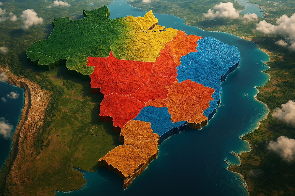
The Current Division into Five Regions of Brazil Was Only Officialized in 1969, After Decades of Changes, Disputes, and Proposals That Redefined Brazil’s Map, and More Changes May Still Arise
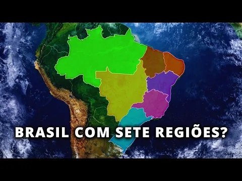
Are you sure you know the regions of Brazil? The division between North, Northeast, Central-West, Southeast, and South seems unchangeable, but believe it: it is the result of a long, turbulent, and even surprising journey of territorial reorganizations that shaped the country as we know it today.
From the geographer who proposed the first division to teach school geography to the actions of the IBGE, the path to the five official regions was filled with controversies, unlikely geographic criteria, and strategic political decisions. And the most impressive thing? The map can still change!
Initial Attempts: Division by Climate and Relief
It all started in 1913 when geographer Delgado de Carvalho decided to divide the regions of Brazil into large geographic blocks based on climate, vegetation, and relief, criteria considered “more permanent.”
-
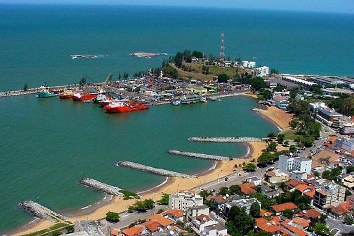
Brazilian city bets on the business environment to generate jobs and attract investments in the energy sector — secretary reveals strategy at Macaé Energy 2026.
-
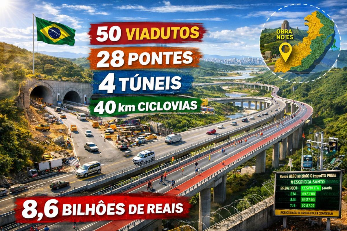
50 viaducts, 4 tunnels, 28 bridges, and 40 kilometers of bike paths: BR-262 in Espírito Santo will receive 8.6 billion reais for the largest engineering project in the state’s history, inspired by the Immigrant Highway in São Paulo.
-
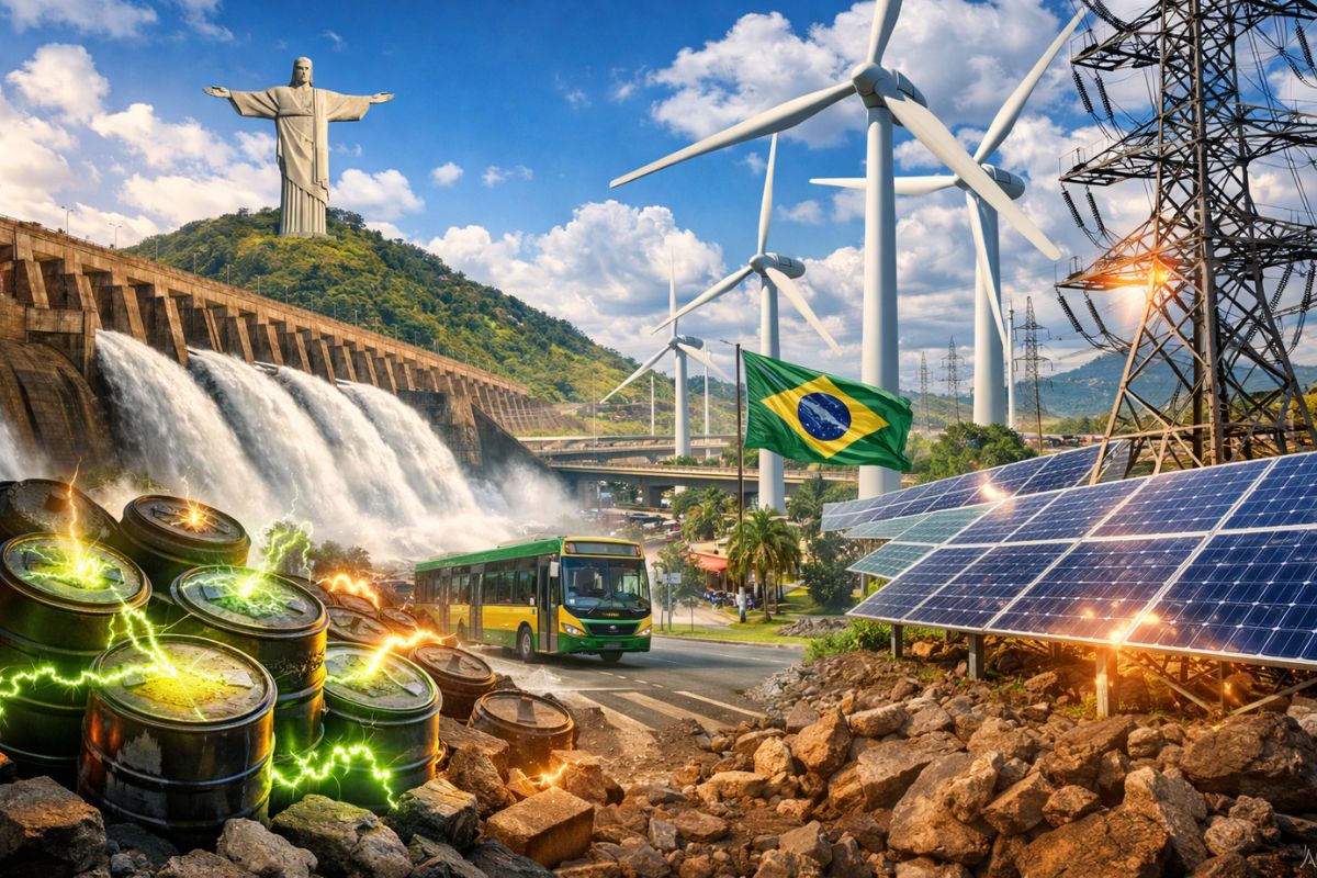
Brazil produces too much clean energy and doesn’t know what to do with it: over 20% of solar and wind capacity was wasted in 2025 while investors flee and 509 renewable generation projects were abandoned in the last year.
-
Piauí will produce a new fuel that replaces diesel without needing to change anything in the truck’s engine and reduces pollutant gas emissions by half: truck drivers from all over the Northeast are already celebrating the news that will arrive later this decade.


Then came five major divisions: Northern Brazil (Amazonas, Pará, and Acre), Northeastern Brazil (from Maranhão to Alagoas), Central Brazil (Mato Grosso and Goiás), Eastern Brazil (from Bahia to Rio de Janeiro), and Southern Brazil (from São Paulo to Rio Grande do Sul). A division made to facilitate teaching, not to govern.
From School to Government: IBGE Enters the Scene
In the 1930s, Brazil began to take this division more seriously. With the establishment of the IBGE in 1938, the territorial division became officially recognized, albeit temporarily. The government adopted the regions as criteria for organizing statistical, economic, and population data. It was then that Brazil officially gained regions such as North, Northeast, Central, West, and South, but with significantly different compositions from the present.
The Era of Reconfigurations
In the 1940s, Brazil initiated a true regional reshuffling. States changed places, territories emerged, names were altered, and regions like Western Northeast and Southeastern emerged.
In 1960, with the creation of Brasília, the Federal District moved to the Central-West. In 1962, Acre became a state. And in 1969, finally, the IBGE consolidated the current model with five major regions of Brazil, a decision based on economic, social, and regional identity factors.
The 1988 Constitution and the States That Changed Everything
The last major transformation came with the 1988 Constitution. Tocantins was created from the northern part of Goiás, the territories of Roraima, Rondônia, and Amapá became states, and the North region gained even more prominence. From then on, the map became the way you know it today: five regions of Brazil, 26 states, and the Federal District. But for how long?
New Proposals on the Horizon: Can the Map Change Again?
With the rapid population and economic growth in the north-central part of the country, there are already proposals for a new division. One idea envisions the creation of a Northwest Region, which would include Amazonas, Acre, Roraima, and Rondônia, while a new North Region would encompass Pará, Tocantins, Maranhão, and Amapá. The goal? To redefine blocks based on the contemporary economy and current challenges. But so far, nothing has officially changed.
The regions of Brazil were defined by practical necessity, political adjustments, and strategic convenience, and they remain subject to change. Even with decades of stability, new proposals are gaining traction and showing that the country can still be redrawn.
The question that remains is: are we prepared to revisit the map and reorganize our territorial identity?


Seja o primeiro a reagir!