 Portuguese
  English
  Spanish
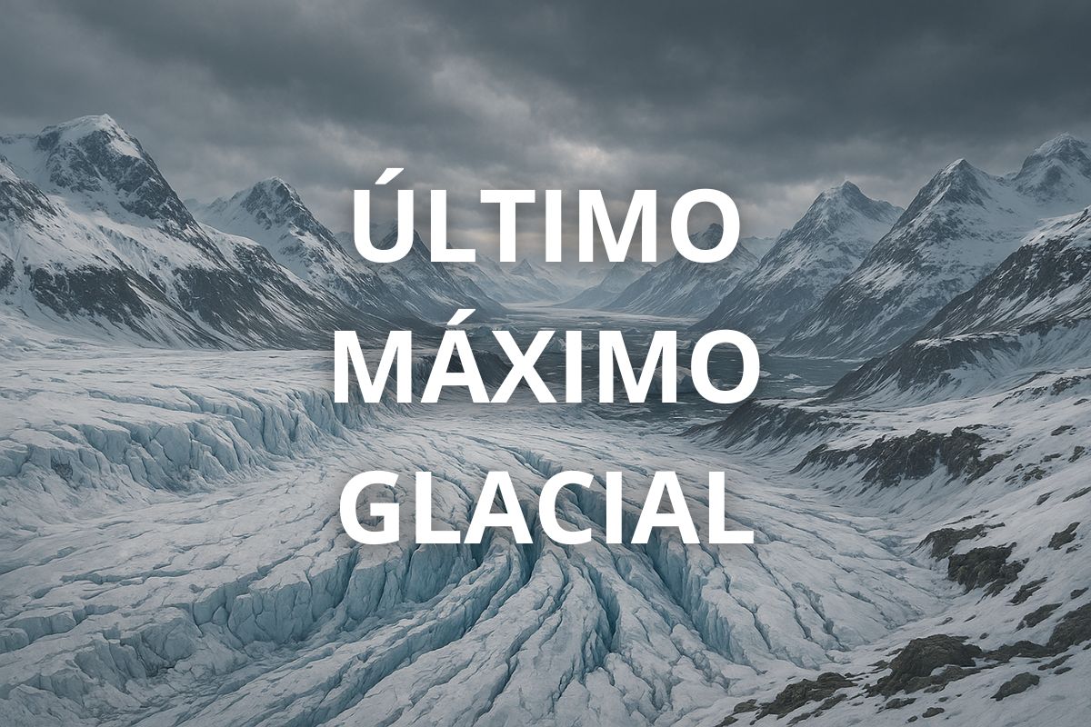
Know The Extreme Climate Impacts, The Advance Of Glaciers Up To 3 Km Thick And The Brutal Drop Of 125 Meters In Sea Level That Shaped Continents, Deserts And Oceans During The Last Glacial Maximum
Imagine a planet 6 °C colder, covered by immense ice sheets, expanded deserts, and 125 meters shallower oceans. About 21,000 years ago, the Earth experienced the peak of its last major freeze, a period known as the Last Glacial Maximum (LGM), when the global climate reached the apex of its cooling. The event was so profound that it shaped landscapes, ecosystems, and human migrations for millennia.
According to publicly available data based on research such as that from the USGS and Nature, the LGM occurred between 26,500 and 20,000 years ago, with significant regional variations. From the Arctic to the Pacific, from the Sahara to the Patagonia, the effects of this extreme global cooling are still felt in geological, ecological, and even the current configuration of continents.
The Frozen World: The Peak Of Cold And The Recession Of Oceans
During the peak of the Last Glacial Maximum, the Earth lost 6 °C in average global temperature compared to today. The immense ice sheets covered up to 25% of all landmass, primarily in North America, Europe, and Asia. In some places, such as Canada, the ice reached up to 3.2 km thick.
-
Friends have been building a small “town” for 30 years to grow old together, with compact houses, a common area, nature surrounding it, and a collective life project designed for friendship, coexistence, and simplicity.

-
This small town in Germany created its own currency 24 years ago, today it circulates millions per year, is accepted in over 300 stores, and the German government allowed all of this to happen under one condition.

-
Curitiba is shrinking and is expected to lose 97,000 residents by 2050, while inland cities in Paraná such as Sarandi, Araucária, and Toledo are experiencing accelerated growth that is changing the entire state’s map.

-
Tourists were poisoned on Everest in a million-dollar fraud scheme involving helicopters that diverted over $19 million and shocked international authorities.

With so much frozen water, sea levels dropped by about 125 meters, exposing continental shelves and uniting territories now separated by oceans. Beringia, for example, connected Siberia to Alaska, allowing the migration of humans and animals to the Americas.
The climate was dry, with frequent dust storms and a drastic reduction in vegetation. Suspended dust increased up to 25 times, caused by the absence of forests and the precipitation that typically cleans the air.
In tropical regions, such as the Amazon and the Sahara, aridity increased, with forests shrinking and deserts advancing. The savanna dominated vast areas now covered by dense vegetation, such as eastern Brazil.
In Southern Africa, the ground froze up to 2 meters deep in some regions. In Europe, the ice reached as far north as Germany and south into England, and Iceland was completely buried under glaciers.
Continents United, Expanded Deserts, And Dramatic Changes In Ecosystems
As the oceans receded, continents and islands formed super-territories. Indonesia was connected to Asia through Sundaland, and Australia formed the megacontinent Sahul along with Tasmania and New Guinea. The Great Barrier Reef retreated far from the Australian coast, adapting to the new shoreline.
In South America, glaciers descended from the Andes and dominated parts of Patagonia. The vegetation adapted to the cold, with Nothofagus forests replacing open fields. In the Amazon, the forests retreated, giving way to more open and arid landscapes.
The Middle East also underwent dramatic transformations. The Persian Gulf region, for example, was a vast river plain formed by the Ur-Shatt, a union of the Tigris and Euphrates rivers. This region was only flooded by seawater about 8,000 years ago.
In Asia, permafrost reached as far south as Beijing, and tropical forests in regions like southern China struggled against the cold. Southeast Asia had mountain glaciers, and areas now islands formed large land masses.
Thawing, Rising Sea Levels, And The Beginning Of The World As We Know It
After the peak of the Last Glacial Maximum, which began about 20,000 years ago, an accelerated thawing process started. Large glaciers began to retreat, and sea levels rose rapidly. Between 14,500 and 8,000 years ago, oceans inundated low-lying lands again, such as the Persian Gulf and parts of the Brazilian coast.
This thawing triggered profound changes in oceanic and climatic circulation patterns. The Antarctic Circumpolar Current, El Niño, and the AMOC (Atlantic Meridional Overturning Circulation) underwent significant changes, directly affecting monsoon systems and global precipitation.
The return of heat allowed for the advance of tropical and temperate forests. The megafauna that thrived during the cold began to decline, and landscapes once again hosted ecosystems more similar to those we find today.
Throughout this process, the first human civilizations began to settle and develop agriculture, taking advantage of the exposed soils and the more stable climates of the Holocene, which started about 11,700 years ago.
What The Last Glacial Maximum Can Teach Us Today
Understanding the extremes of Earth’s past climate helps to project future scenarios in light of ongoing climate changes. The Last Glacial Maximum shows how alterations in global temperature affect ecosystems, human societies, and even planetary geography.
Events such as the retreat of ice, the rise of sea levels, and changes in winds and ocean currents, though on a different scale, are also present in discussions about current warming.
A detailed study of this period, based on ice cores, marine sediments, and fossils, remains essential for climate science—and for our survival in the future.
Tell us in the comments: Did you imagine that sea levels were 125 meters lower? Share this content with friends and family and help spread this amazing knowledge!


Seja o primeiro a reagir!