 Portuguese
  English
  Spanish
The New Heat Wave Forecast For The Southern Region Of Brazil Should Gradually Elevate Temperatures Starting This Friday, With Dry Weather, Less Rain, And Afternoons Getting Increasingly Hot. Meteorologists Indicate That Thermometers May Reach Almost 40 °C For Several Consecutive Days, Marking The End Of Summer.
The formation of a heat wave in the southern part of the country is becoming clearer in the coming days, driven by a dry weather scenario and a significant reduction in rainfall. Starting this Friday (13th), the trend is for temperatures to gradually rise in several municipalities in the region.
With the decrease in atmospheric instability, the weather is becoming firmer and sunnier, favoring hotter afternoons. According to the NDMAIS portal, this process occurs progressively, but the accumulated effect over the days may drive temperatures well above the usual for this time of year.
Temperatures May Reach Near 40 °C In Several Places
The advance of this heat wave should cause increasingly higher maximum temperatures, especially over the weekend. In many cities in the south, temperatures may already exceed 30 °C from the first days of the weather event.
-
NASA has set a date for the beginning of the end of Earth, and it won’t be an asteroid or an explosion: the planet will slowly lose its oxygen over the course of 1 billion years because the Sun is getting hotter every day.

-
Archaeologists have discovered a colossal submerged wall in the Atlantic, dating back 7,000 years and weighing 3,300 tons, regarded as the largest prehistoric submerged structure ever found in France.

-
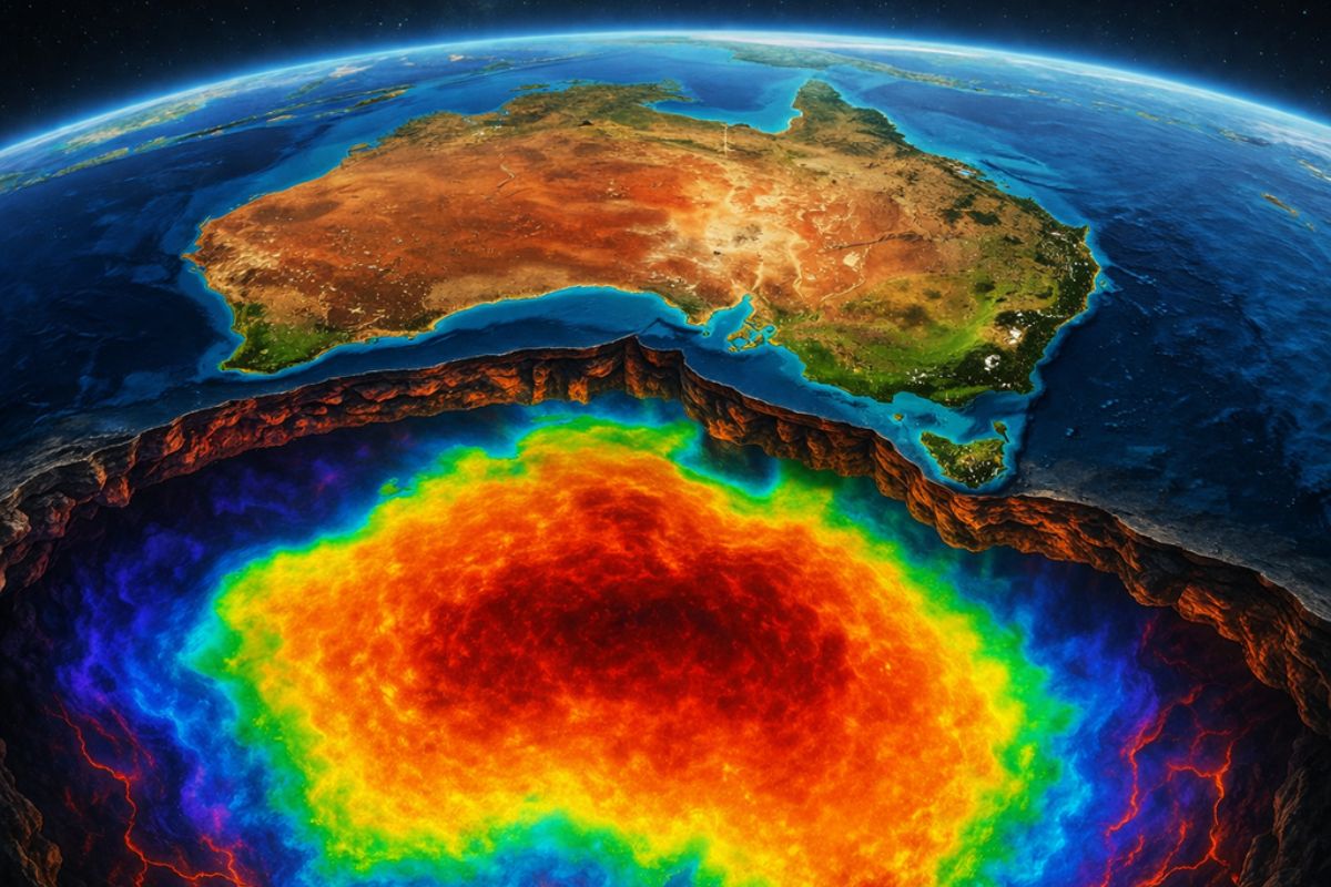
Scientists have discovered a gigantic magnetic anomaly hidden beneath the soil of Australia that mirrors the shape of the entire continent and holds geological records of two and a half billion years that could change what we know about the Earth.
-
The heatwave that has been affecting Brazil in recent weeks is coming to an end: a cyclonic vortex is moving in during Holy Week with heavy rains, and a cold air mass is already threatening to lower temperatures in the South starting in April.


In some areas, the heat is expected to be even more intense. In the western part of Rio Grande do Sul, for example, thermometers may initially reach around 36 °C. As the days go by, this value may approach 40 °C, especially in municipalities of Rio Grande do Sul and also in areas of western Santa Catarina and Paraná.
This warming pattern does not arise in isolation. Before the full configuration of the heat wave, the region is already experiencing a sequence of hot days, creating the ideal conditions for the phenomenon to consolidate over the next week.
Cold Mornings And Scorching Afternoons Create Great Contrast
Even with rising maximum temperatures, mornings may still register relatively lower values. During this period, minimums should range from approximately 12 °C to 15 °C in some cities.
This contrast creates a phenomenon known as pronounced thermal amplitude. In practice, this means that residents may face cooler mornings followed by extremely hot afternoons, creating a sharp change in conditions throughout the same day.
This climatic behavior is relatively common when dry air dominates the atmosphere. The absence of clouds during the night allows for greater heat loss, while the strong sun during the day promotes rapid warming.
Phenomenon May Last Several Consecutive Days
The sequence of high temperatures predicted by meteorological models indicates that the heat is unlikely to be limited to just one or two days. On the contrary, the pattern may extend over several consecutive days.
For a heat wave to be characterized, it is typically necessary for temperatures to remain above average for at least five consecutive days. Projections indicate that this condition may occur over much of the southern region until approximately March 20th.
This period coincides with the final stretch of summer, when atmospheric systems may still favor episodes of intense heat before the transition to autumn.
Change In Weather May Come With The First Cold Front Of Autumn
Despite the persistent heat, the meteorological scenario is expected to start changing in the second half of March. The approach of a new cold front may alter the atmospheric pattern that sustains the current heat wave.
This system tends to increase cloud cover and bring back rain in various areas of the southern part of the country. With the arrival of a colder air mass, temperatures should gradually decrease.
This change often marks the transition to more typical autumn conditions, when temperatures begin to cool down and extreme heat loses its intensity.
The possible heat wave approaching the southern region of Brazil shows how the final stretch of summer can still bring intense heat episodes, capable of altering city routines and surprising residents with afternoons nearing 40 °C for several consecutive days.
Now we want to know your opinion: has the heat started to rise in your city, or is the weather still cooler?
Tell us in the comments how the weather is where you live and if these extreme temperatures are already being felt in your region.


-

-

3 pessoas reagiram a isso.