 Portuguese
  English
  Spanish
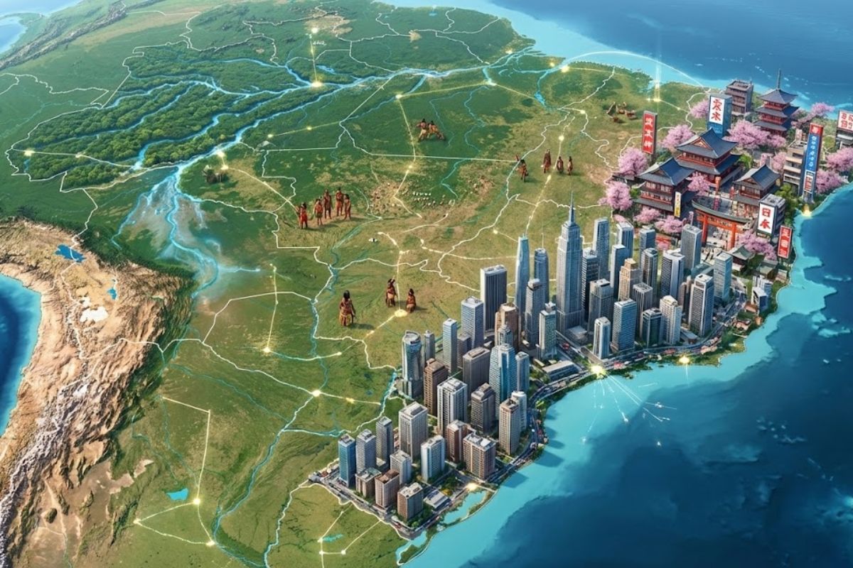
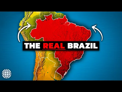
From Low Plateaus to the Largest River by Volume on the Planet, Brazil Mixes Overcrowded Coasts, Flooded Pantanal, Giant Dam, Planned Capital, and Diverse Cities to Explain How Its Discreet yet Colossal Geography Redefines Borders, Economy, Climate, and Even Who Lives Inside the Forest Protected by Rivers, Treaties, Stories, and Secrets.
The Brazil that appears in school books was born from an imaginary line drawn in 1494, in the Treaty of Tordesilhas, and took official form with the arrival of the Portuguese in 1500. But, behind these historical milestones, the country’s geography hides a set of facts so extreme that they challenge any map and any simple comparisons with other global giants.
Between 1908, when the first ship with Japanese immigrants docked to supply the coffee farms of São Paulo, and 1984, the year the Itaipu dam was completed on the border with Paraguay, Brazil consolidated a territory of continental dimensions, almost without high mountains, dominated by colossal rivers, giant cities, and peoples who still live completely isolated. It is in this interval that the outline of the country gains depth and reveals why its geography is one of the most unique on the planet.
A Disguised Continent
It is hard to exaggerate the size of Brazil. The country spans more than 8.5 million square kilometers, making it the fifth largest in the world and larger than the continental United States in area. This monumental landmass occupies about 47 percent of all of South America.
-
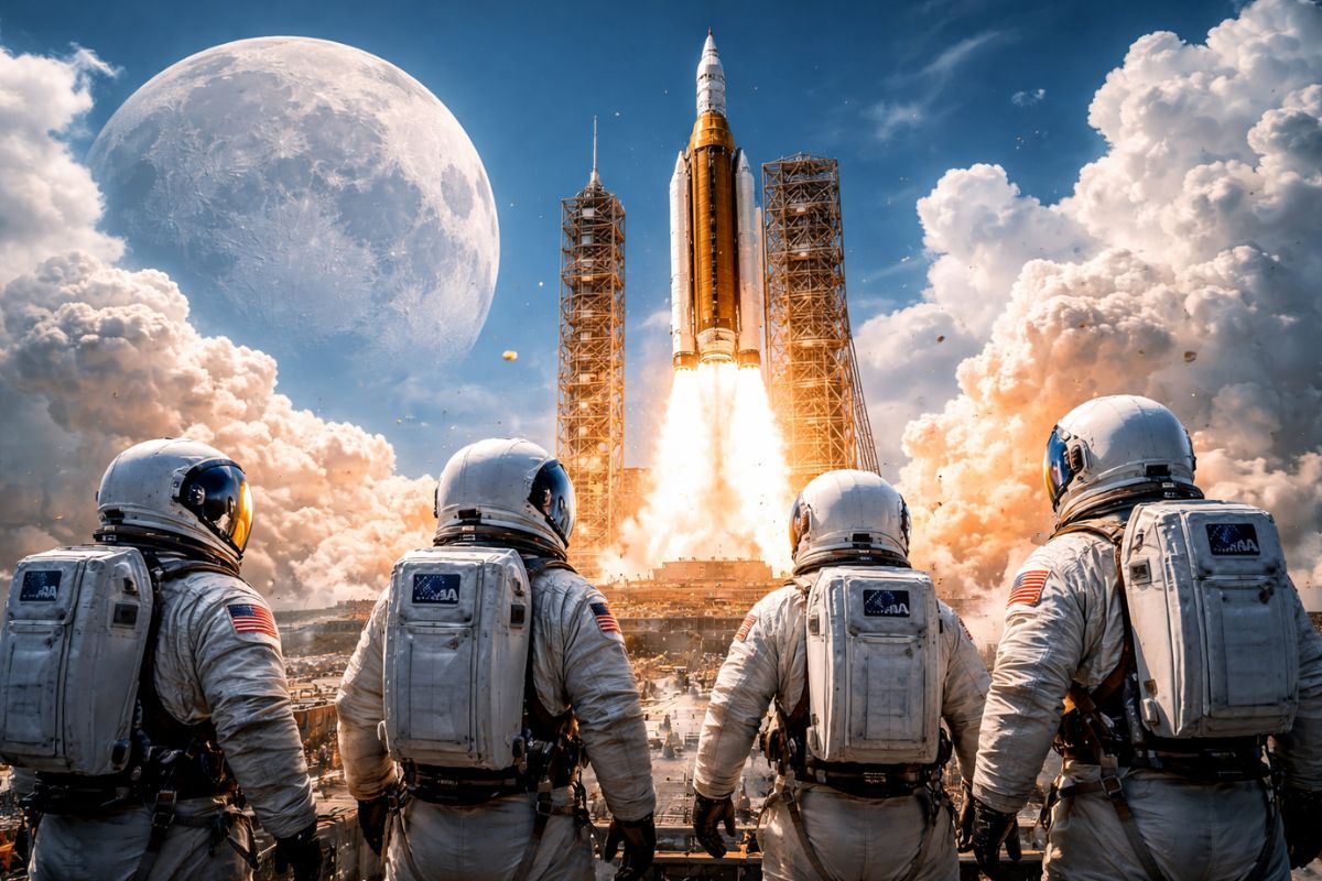
Artemis 2 sends four astronauts on a historic mission to the Moon after 50 years, with a launch on April 1 and a record flight to the far side of the Earth’s natural satellite.
-
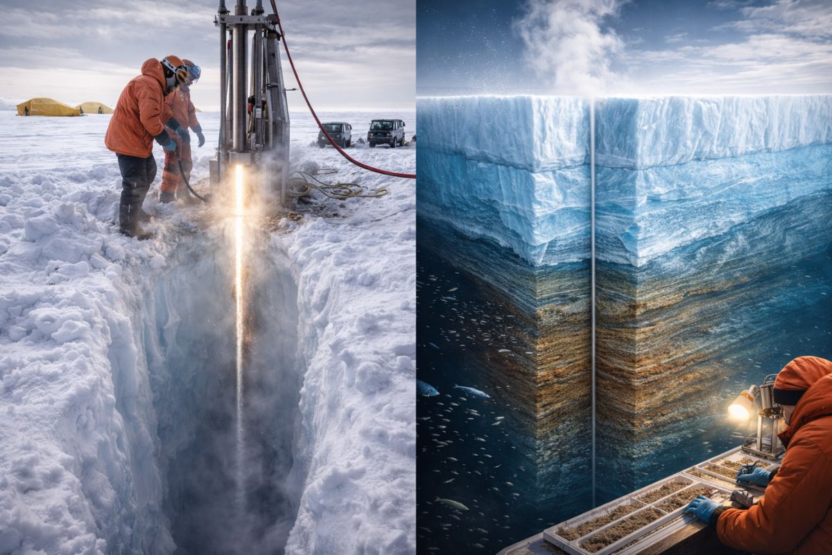
Scientists drilled 523 meters of ice in Antarctica with water at 75 degrees and found 218 meters of sediments that prove that where there is now half a kilometer of ice, there was once an open ocean millions of years ago.
-
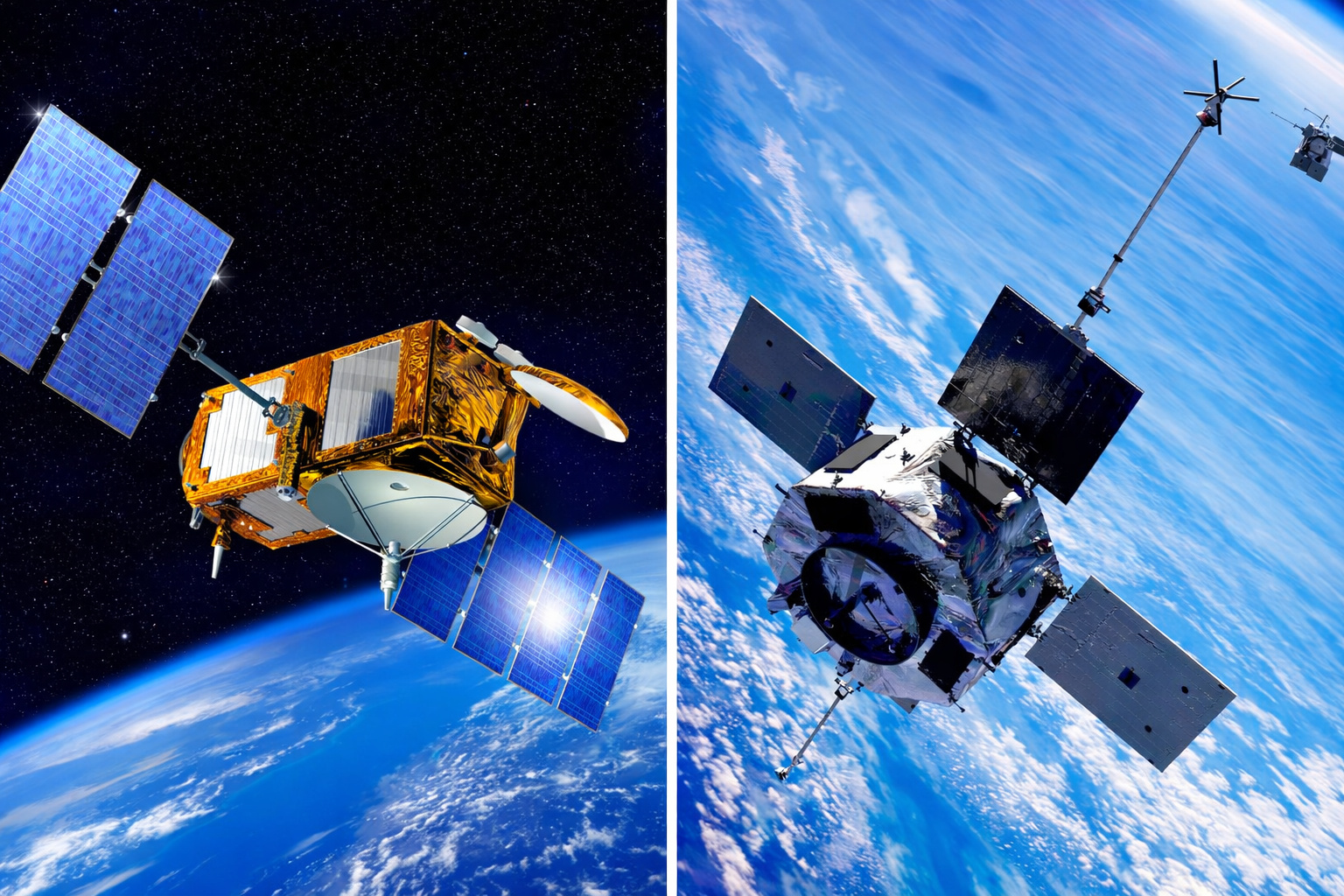
Scientists create a new propulsion system that allows satellites to use the air from Earth’s atmosphere as fuel to operate in space with lower costs and longer operational time.
-
Student creates revolutionary filter that removes up to 96% of microplastics from water using cheap magnetic technology and could change the future of drinking water in homes.


Due to this scale, Brazil crosses four time zones, from the Atlantic islands in the far east to Acre on the border with Peru in the far west.
Within this space fit climates and biomes that seem like different countries, from the dry and almost desert-like hinterland of the Northeast to the milder plateaus of the South, passing through the flooded fields of the Pantanal. And at the heart of this diversity, the Amazon rainforest alone, just in the Brazilian part, has an area equivalent to that of Western Europe.
The River That Dilutes the Atlantic
If the Nile is slightly longer, it is the Amazon River that occupies the throne when it comes to strength and volume. Rising in the Andes and cutting across the continent to the Atlantic, the Amazon basin covers about 40 percent of South America. It pours more water into the ocean than the next seven largest rivers combined.
On average, the river discharges more than 200,000 cubic meters of fresh water per second into the Atlantic, enough to fill more than 83 Olympic swimming pools every second.
This flow creates a plume of fresh water that spreads over about 1 million square kilometers in the ocean, literally diluting the sea salt.
Around this system lives about one in every ten known species on Earth, making Brazil a global biodiversity epicenter directly linked to its river geography.
Giant in Area, Low in Altitude
Despite its immense area, Brazil is a relatively low country in terms of topography. There are no chains of snow-capped peaks that mark its Andean neighbors, such as Chile, Argentina, and Peru. The reason lies in the tectonic plates. The Brazilian territory rests on the ancient and stable part of the South American plate, far from the collision zones that raise mountains.
The highest point in the country, a peak about 2,995 meters on the border with Venezuela, is remote, hidden by frequent clouds, and so inaccessible that its status as the highest summit was only confirmed by surveys in the 1960s.
Instead of dramatic mountain ranges, what dominates the Brazilian map are plateaus, tablelands, and vast sedimentary basins, a broad stage where rivers, forests, and cities play the lead roles.
Endless Coast, Cities Tied to the Sea
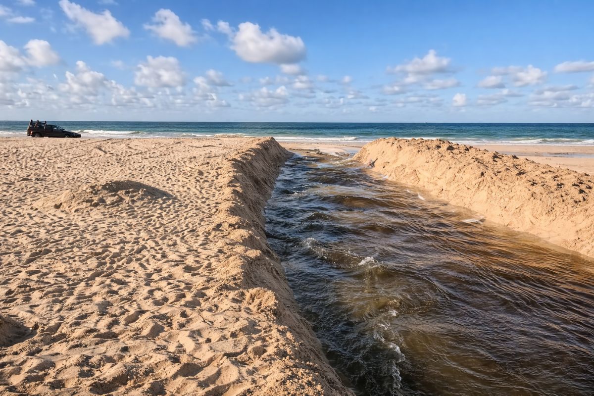
Brazil’s relationship with the Atlantic shapes its history, culture, and economy. The country has one of the longest continuous coastlines in the world, stretching about 7,491 kilometers without interruption.
Along this stretch line up some of the most famous beaches on the planet, such as Copacabana and Ipanema in Rio de Janeiro, as well as extensive mangroves in the Northeast, the unique delta of the Parnaíba River, and subtropical lagoons in the South.
This coastal zone is also the demographic and economic heart of Brazil. The vast majority of the population lives near the sea, and the largest cities in the country, such as São Paulo, Rio de Janeiro, Salvador, and Recife, are on the coast or practically adjacent to it.
It is a direct legacy of the colonial period, in which the ports facing the Atlantic commanded the export of sugar, gold, and coffee and concentrated power, wealth, and people.
Pantanal, the Stage of Major Floods
In the interior of the continent, far from the famous beaches, lies one of the most spectacular and underrated ecosystems on Earth. It is the Pantanal, which extends over more than 140,000 square kilometers in western Brazil and reaches into Bolivia and Paraguay.
Considered the largest continuous tropical wetland in the world, the Pantanal is not a fixed swamp, but a gigantic floodplain.
During the rainy season, more than 80 percent of this area becomes submerged, transforming the region into a true aquatic world.
When the water recedes in the dry season, fish and other aquatic animals become trapped in puddles and channels, creating a natural feast for one of the largest concentrations of wildlife on the planet, with jaguars, giant river otters, capybaras, and hundreds of bird species.
The way the relief and drainage combine there is a perfect example of how Brazil’s physical geography directly determines the explosion of life that the country hosts.
Borders in Almost Every Direction
Just look at a map to see Brazil’s geopolitical weight on the continent. The country shares borders with ten neighbors: French Guiana, Suriname, Guyana, Venezuela, Colombia, Peru, Bolivia, Argentina, Paraguay, and Uruguay. This gives Brazil the third largest amount of land borders in the world, behind only China and Russia.
In total, there are about 16,000 kilometers of border lines. The only South American nations that do not border Brazil are Chile and Ecuador, separated by the Andes and other countries.
This configuration creates a complex web of trade routes, security agreements, and historical disputes that, over centuries, have helped shape Brazil’s foreign policy. Few countries have to manage so many neighbors simultaneously in so many directions.
Brasília and the Project to Occupy the Void on the Map
For much of history, Brazil’s capital was on the coast. First was Salvador, the center of the sugar cycle in the Northeast. Then came Rio de Janeiro, the major port for coffee and gold exports.
In the 1950s, the country decided to turn the map upside down and build a new capital from scratch, in the largely unpopulated interior. Brasília was born, conceived as a project for the development of Brazil’s vast interior and the decentralization of power that had until then concentrated along the coastal strip.
The pilot plan, designed by Lúcio Costa and materialized in modernist buildings by Oscar Niemeyer, takes the shape of an airplane viewed from above and is considered a masterpiece of 20th-century architecture, recognized as a World Heritage Site.
Why Brazil Speaks Portuguese
Almost all of Brazil’s neighbors speak Spanish, but the dominant language on this side of the border is different. The explanation lies in a decision made long before the continent was truly known. In 1494, to avoid a war between two great maritime powers, the Treaty of Tordesilhas was signed.
This agreement drew an imaginary line, 370 leagues west of the Cape Verde Islands. Anything discovered to the west of this line would belong to Spain, and everything to the east would belong to Portugal. Coincidentally, this division cut through the eastern edge of South America and secured the Portuguese possession of the area where their expeditions officially landed in 1500.
It is this single stroke of ink on the globe that explains why Brazil emerged as a Portuguese-speaking country surrounded by Spanish-speaking neighbors.
From the Land of the Holy Cross to the Land of Brazilwood
Even the name of the country is a direct product of its geography and natural resources. When the Portuguese explorers arrived, they found vast forests with a valuable tree, Brazilwood, whose dense reddish wood could be transformed into a powder used to make a high-quality red dye, much sought after in Europe in the 16th century.
The land was once called the Land of the Holy Cross, but the trade in this wood became so dominant that sailors and merchants began to simply refer to the territory as the Land of Brazil. The exploitation was so intense that Brazilwood eventually became an endangered species, a living symbol of how the country’s first great wealth was also the first resource to approach exhaustion.
A Coastal Country by Habit, Empty in the Middle
Brazil is today the seventh most populous country in the world, with about 213 million inhabitants, but this population is far from being distributed evenly.
More than 80 percent of Brazilians live relatively close to the Atlantic Ocean, a direct result of a past where everything revolved around export ports.
The southeastern coastal plain, where São Paulo and Rio de Janeiro are located, is one of the most densely populated areas on the planet.
On the other extreme, the Amazon interior remains almost empty in comparison. The state of Amazonas, for instance, is larger than France, Spain, and Germany combined, but houses only about 4 million people. This spatial inequality reinforces the idea that Brazil is, at the same time, a country of coastal megacities and vast demographic voids in the heart of the forest.
São Paulo, Global Megacity and Largest Japanese City Outside Japan
São Paulo is the most radical portrait of this urban concentration. The city is the largest and most populous in the Southern Hemisphere, with more than 12 million inhabitants just within its municipal limits and around 22 million in the metropolitan area.
It is the financial, economic, and industrial heart of Brazil and one of the main global centers of business, art, gastronomy, and fashion.
At the same time, São Paulo houses the largest community of Japanese descendants outside Japan. It all started in 1908, when a ship brought the first Japanese immigrants to work on the expanding coffee farms.
Today, more than 1.5 million Japanese and their descendants live in the country, with a large concentration in the capital city.
The Liberdade neighborhood, once predominantly Japanese and now a pan-Asian hub, has become a visible symbol of this mix, with red gates, markets, gardens, and restaurants that make clear the depth of the connection between Brazil and Asian immigration.
Coffee that Moves the World
It is impossible to speak of Brazil’s economy and culture without mentioning coffee. The country is not just a major producer, it has been the largest coffee producer in the world for over 150 consecutive years.
The so-called coffee cycle from the 19th century to the early 20th century created fortunes, financed the first industrialization, and sustained powerful political elites.
Today, Brazil continues to account for more than one-third of the global coffee supply, from mass-consumed beans to high-quality specialty varieties.
The scale of production is so large that droughts or frosts in Brazilian coffee-growing regions can alone trigger the price of the beverage worldwide, affecting the value of the cup for millions of people thousands of miles away.
Isolated Peoples in the Heart of the Amazon
Even with all this urbanization, there are parts of Brazil where the human map remains incomplete. In the most remote areas of the Amazon live some of the last truly isolated peoples on the planet.
It is estimated that the country is home to more than 100 uncontacted groups, the largest known number in the world, many of whom are officially protected in indigenous lands.
Uncontacted means there has been no peaceful and sustained contact with the surrounding society. The official Brazilian policy is not to seek this contact, precisely to protect these peoples from common diseases, such as the flu, for which they have no immunity.
But illegal miners, loggers, and drug traffickers encroach on these areas, making the survival of these communities a silent humanitarian and environmental emergency, hidden beneath the forest canopy.
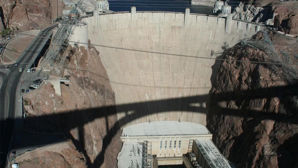
Energy from the Rivers
Brazil also stands out in the field of renewable energy, mainly thanks to its rivers. The jewel of this system is the Itaipu Dam, a colossal hydroelectric project built on the Paraná River, on the border with Paraguay.
When it was completed in 1984, Itaipu was the largest energy-generating dam in the world by installed capacity.
Although it has been surpassed by China’s Three Gorges Dam in nominal power, Itaipu remains among the leaders in actual electricity generation year after year.
It accounts for about 10 percent of all the energy consumed in Brazil and an impressive 90 percent of that used in Paraguay.
It is a binational project that symbolizes how the geography of Brazilian rivers shapes not only landscapes but ties entire economies together through waterfalls transformed into megawatts.
A Brazil that Deconstructs the Mental Map of the World
When all these elements are placed side by side, Brazil ceases to be merely “the largest country in South America” and becomes a unique case of geography on a planetary scale.
An immense territory, almost without large mountains, capable of diluting the ocean with a single river, feeding the world with coffee, concentrating millions of people by the seaside, and at the same time, preserving peoples that still live without contact with the rest of humanity.
This combination of low plateaus, gigantic rivers, multiple borders, giant cities, and demographic voids creates a country that defies easy labels and forces anyone to rethink how they imagine the world map.
And you, which of these aspects of Brazil’s geography most changed the way you viewed the country before reading this report?


-

Uma pessoa reagiu a isso.