 Portuguese
  English
  Spanish
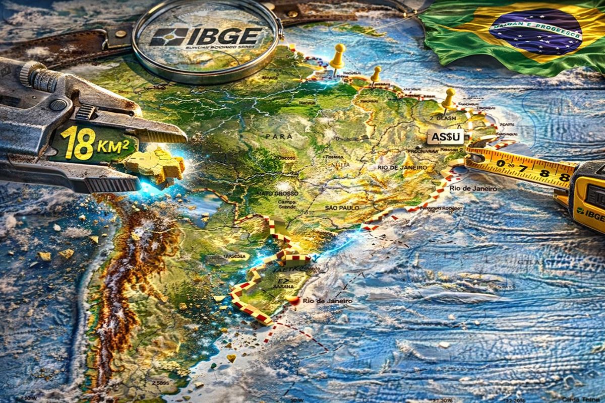
The IBGE officially announced the update of Brazil’s territorial limits, which redesigned the borders of 784 municipalities in 13 states between May 2024 and April 2025, reducing the total area of the country by 18 square kilometers and even changing the names of cities like Açu, now Assú, and São Luiz, now São Luiz do Anauá, in a revision that uses more precise geotechnologies.
The Brazil is officially smaller. The IBGE (Brazilian Institute of Geography and Statistics) published this Monday (30) the new update of the country’s territorial limits, which redesigned the borders of 784 municipalities spread across 13 states. With the changes, the total area of Brazil is now 8,509,360.850 km², a reduction of 18.726 km² compared to the data released in 2024. It may seem small for a continental country, but the practical effects go far beyond a number: cities had boundaries altered, names were modified, and official maps needed to be redrawn.
The changes affect everything from state capitals to small municipalities in the interior. Among the cities with changes are Petrolina (PE), Ouro Preto (MG), Itapemirim (ES), and several cities in São Paulo such as Osasco, Guarulhos, São Bernardo do Campo, and Taubaté. Paraná concentrated the largest volume of revisions, with 399 municipalities affected, followed by São Paulo with 173 and Amazonas with 62. The update also brought changes in the spelling of city names: Açu is now Assú, Arês became Arez, and São Luiz is now called São Luiz do Anauá.
Why Brazil became 18 square kilometers smaller

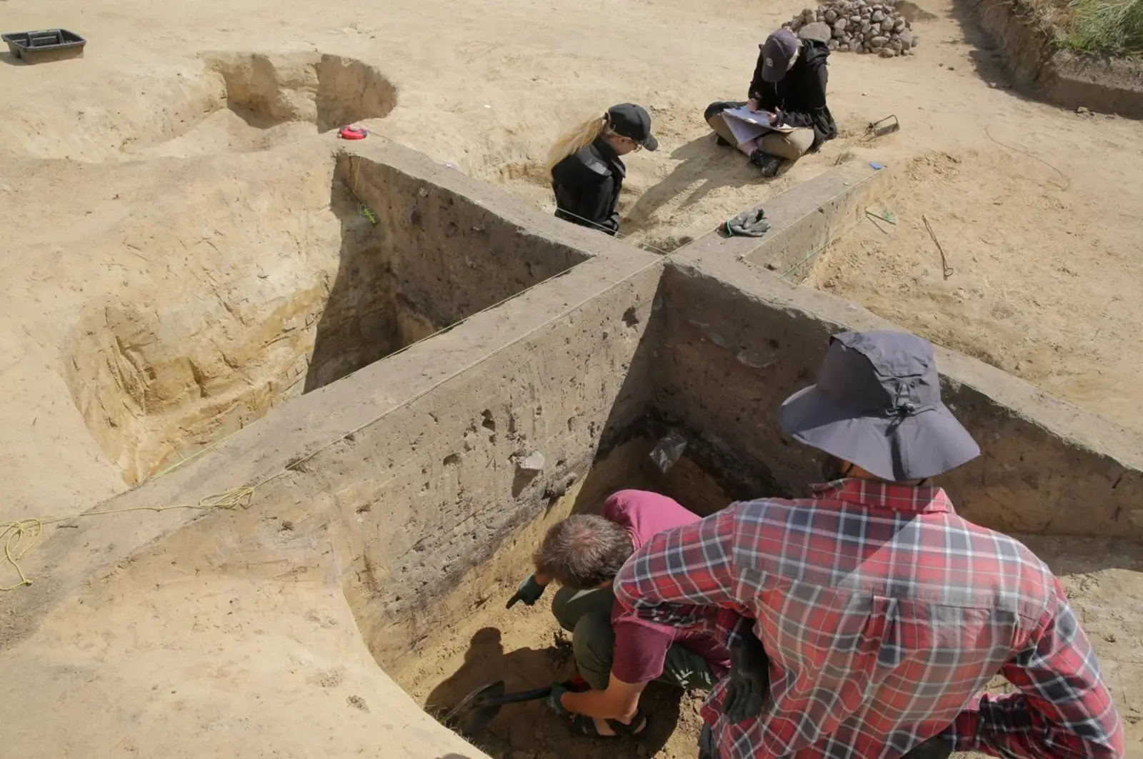
Image: IBGE
The reduction of 18.726 km² in Brazil’s total area does not mean that the country lost territory to any neighbor. The change is the result of advances in mapping technologies that allow for measuring borders more accurately than was previously possible.
-
Stephen Hawking said that the worst enemy of knowledge is not ignorance but the illusion of knowledge, and he dedicated his entire career to proving that science dies when people act as if they already have all the answers.

-
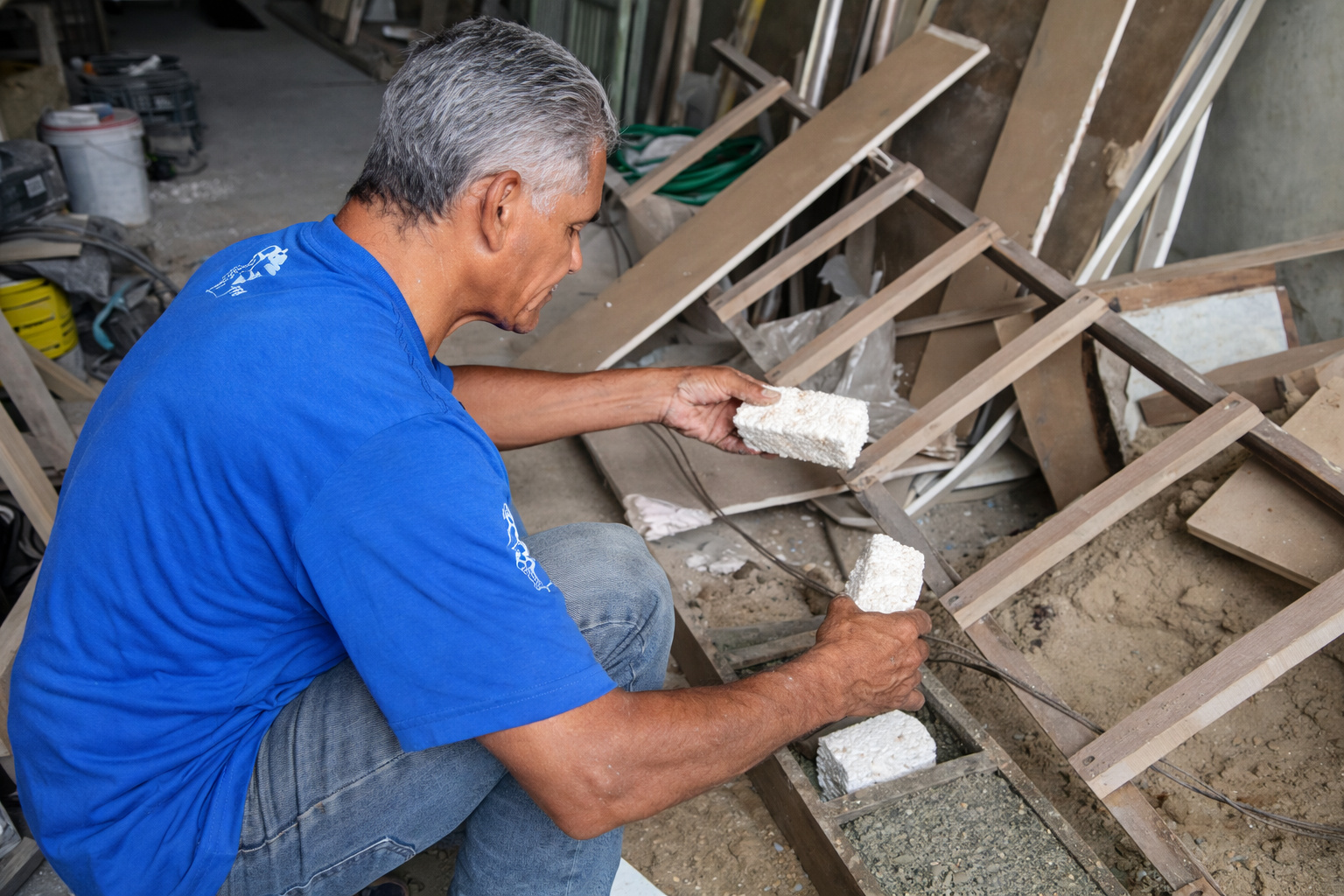
A man gathered Styrofoam, PET bottles, sand, and cement to build a recycled block using a mold made from an old board and a 50mm pipe to easily raise walls.
-
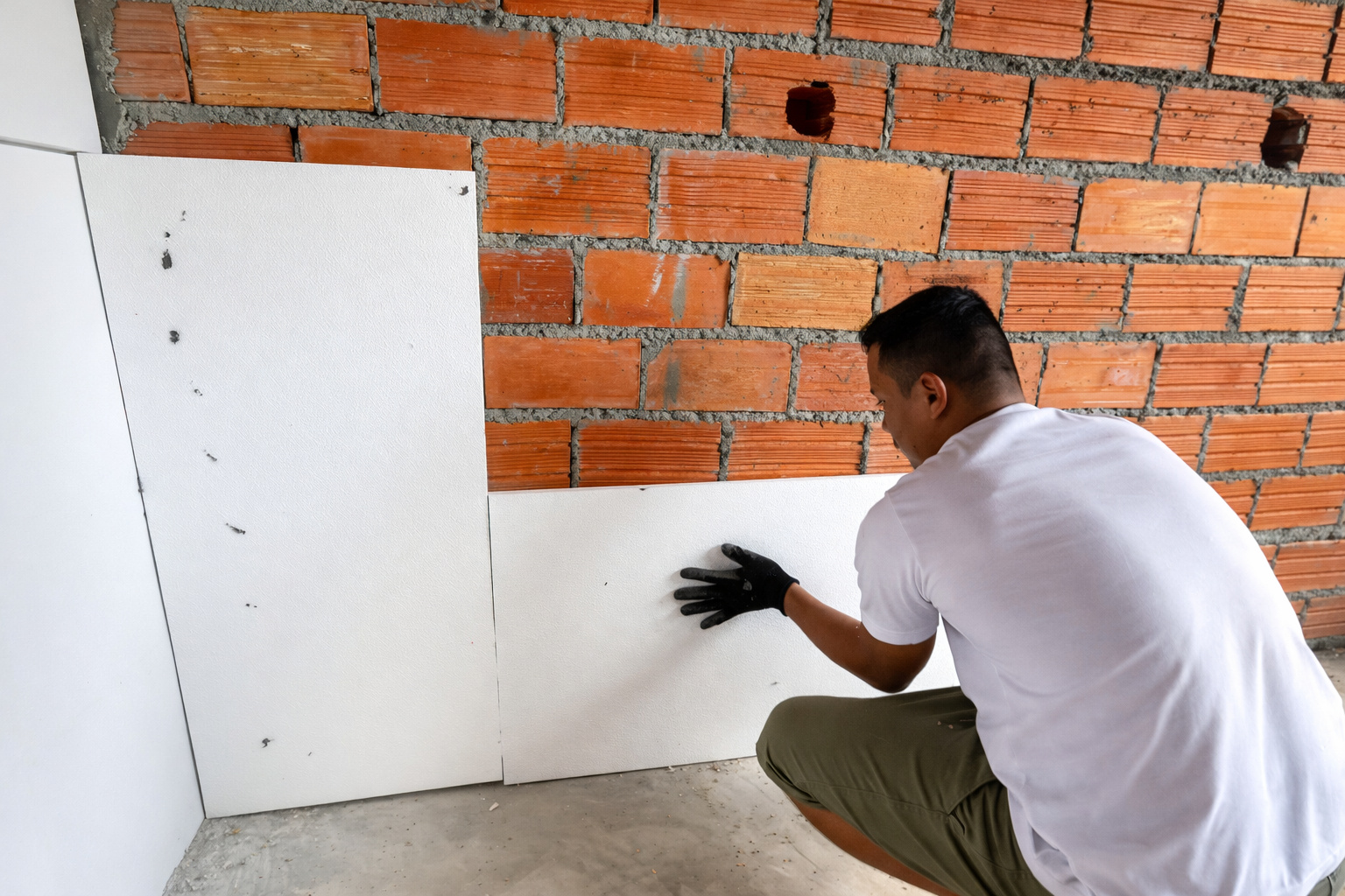
Man uses technique to save plaster with 20mm polystyrene panels, promises efficient thermal insulation and impresses with low cost in the construction.
-
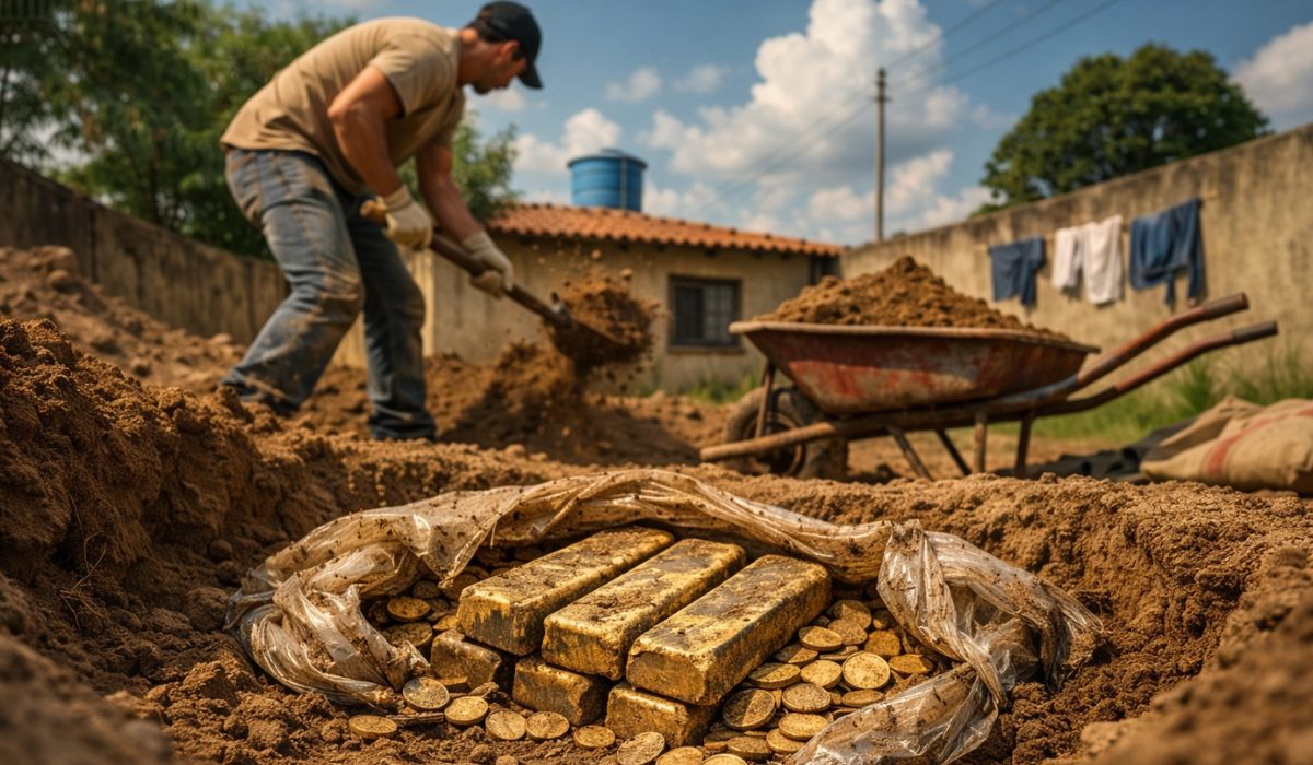
Man digs a pool in his backyard, finds bars and coins of gold hidden, and discovers a treasure of nearly R$ 4 million buried for years.
Where approximate geographical references such as rivers, roads, and natural landmarks were once used, now high-resolution geotechnologies can trace territorial limits with meter-level accuracy.
According to the IBGE, the use of these more precise tools is what explains the difference. It is not that Brazil physically shrank; it is that the previous measurement was slightly inaccurate, and the update corrected the data.
In practice, the 18 km² less is the difference between the map we had and the map we should have. With each round of updates, Brazilian territory becomes more accurately represented in official documents.
Despite the reduction in total area, Brazil maintains exactly the same number of municipalities: 5,569, in addition to the Federal District and the state district of Fernando de Noronha, in Pernambuco.
No city was created or extinguished in this update; what changed were the territorial limits between neighboring municipalities and the accuracy with which these borders are recorded in the official maps of the IBGE.
The 784 municipalities that had their territorial limits redesigned
The IBGE update affected 784 municipalities in 13 states of Brazil, with impacts ranging from subtle adjustments in boundaries to significant redesigns of municipal borders. Paraná was the most affected state, with 399 municipalities revised, a nearly complete update of the territorial limits of the entire state.
São Paulo comes in second with 173 altered municipalities, including large cities like Osasco, Guarulhos, São Bernardo do Campo, and Taubaté. For residents of these cities, the change may mean that a property that was previously officially in one municipality now belongs to the neighboring one — something that affects property tax, judicial jurisdiction, political representation, and even the postal code of the address.
Amazonas had 62 municipalities revised, followed by Piauí (53), Minas Gerais (26), Bahia (24), Santa Catarina (18), Pernambuco (10), Rio Grande do Sul (7), Sergipe (6), Maranhão (2), Espírito Santo (2), and Mato Grosso (2).
The concentration of changes in Paraná and São Paulo reflects the fact that these states invested more in agreements with the IBGE to update their cartographic data, while other states await future revisions.
Cities that changed names in the IBGE update
In addition to territorial limits, the update brought changes to the official spelling of some cities in Brazil. In Rio Grande do Norte, the municipality of Açu is now registered as Assú, a change that aligns with the local pronunciation and state legislation. Those who know the city by its old name will need to get used to the new spelling in official documents, correspondence, and public systems.
Also in Rio Grande do Norte, Arês had its name adjusted to Arez, a spelling change that reflects the official documentary revision. In Roraima, São Luiz gained the addition “do Anauá” and is now officially São Luiz do Anauá.
These changes are only implemented by the IBGE after approval of state legislations or official documentary revision the institute does not change names on its own.
The name changes may seem small, but they have practical consequences. GPS systems, public databases, e-commerce platforms, official correspondence, and even Google search results need to be updated.
For the affected municipalities, the transition involves communicating the change to dozens of federal, state, and private agencies a bureaucratic process that can take months until the new name is fully recognized in all systems.
What is behind the update of Brazil’s territorial limits
The new territorial limits of Brazil are the result of a combination of technical and legal factors. The approval of state laws, judicial decisions on border disputes between municipalities, and advances in mapping geotechnologies are the three engines driving the revisions, according to the IBGE.
The institute maintains technical cooperation agreements with states and legislative assemblies to ensure that territorial data is aligned with the most up-to-date information.
When a state law redefines the border between two municipalities — something that happens regularly, especially in disputes over ICMS and royalty revenues — the IBGE incorporates the change in the next round of updates.
The evolution of cartographic tools is another factor. High-resolution satellite images, global positioning systems with centimeter-level accuracy, and geoprocessing software allow the IBGE to trace borders with a level of detail unimaginable decades ago.
Each update makes Brazil’s map more precise and, in this case, 18 km² more precise than it was before.
What changes for those living in the affected municipalities
For most of the 784 municipalities in Brazil with altered territorial limits, the changes are imperceptible in daily life. Most adjustments involve corrections of a few meters in boundaries, enough to update the official map but irrelevant for those living far from the municipal border.
The real impact is concentrated in the border areas, where properties, rural lands, and commercial establishments may have changed municipalities without moving.
In these cases, the consequences are concrete: changes in tax jurisdiction, alterations in property registration, changes in legislative representatives, and, in some cases, changes in judicial districts.
For rural producers with properties on the border between two municipalities, the IBGE update may mean that part of the farm now officially belongs to another city something that requires documentation regularization.
The IBGE recommends that residents and property owners in border areas consult the new official maps to check if there has been a change in the jurisdiction of their address. The complete list of the 784 affected municipalities is available on the institute’s website, and the city halls of the involved municipalities should communicate the changes to taxpayers and property owners in the coming months.
With information from the portal NDMAIS.
Do you live in any of the 784 municipalities in Brazil that had their territorial limits altered? Did you know that the country became 18 km² smaller in the new IBGE update? Let us know in the comments if any of these changes affect your city; this type of information often goes unnoticed, but it has real impact.


Seja o primeiro a reagir!