 Portuguese
  English
  Spanish
The advancement of ocean floor mapping by Chinese ships on routes near Taiwan, Guam, the Philippines, and Malacca has raised alerts among naval analysts about the strategic use of these data in submarine operations, underwater sensors, and invisible military disputes below the waves
Chinese research ships have been discreetly mapping the ocean floor in strategic areas of the Pacific, Indian, and Arctic Oceans, with operations concentrated on routes near Taiwan, Guam, the Philippines, and access to the Malacca Strait.
Tracking data from over five years shows precise circular patterns and grid surveys that naval analysts associate with military interests, although the missions are officially presented as research on climate, fishing, and sediments.
An investigation identified dozens of Chinese vessels operating in various oceans, many of them navigating characteristic paths of bathymetric surveys.
-
The winter of 2026 in Brazil will not be what you expect: meteorologists warn that the season will be warm and rainy at the same time due to the advance of El Niño, which is already warming the Pacific and changing the climate of the entire country.

-
For the first time, humanoid robots will compete in a full half-marathon without any human assistance in Beijing, with over 100 teams from China registering machines that need to complete the course with autonomous navigation on two legs.

-
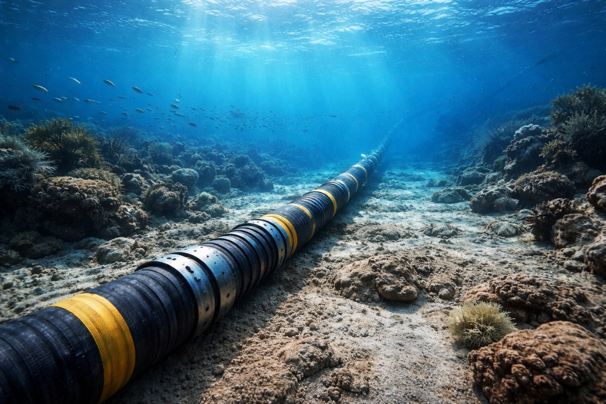
Submarine cables installed to transmit the internet now also help scientists detect earthquakes.
-
After so many blackouts, a family transforms an electric truck into a power source for their home and shows how a 100 kWh battery can keep everything running for days.


At least eight ships have confirmed mapping of the ocean floor, while another ten carry equipment capable of performing the same type of operation.
Surveys focus on sensitive areas of the ocean floor
Among the tracked vessels, the Dong Fang Hong 3 has gained prominence for operating in waters near Taiwan and Guam in 2024 and 2025. Operated by the Ocean University of China, the ship also conducted a broad survey between Sri Lanka and Indonesia in March 2025, covering shipping lanes leading to the Malacca Strait, one of the main chokepoints of global navigation.
The paths of these ships appear as grid lines over the sea, a pattern typically associated with detailed surveys of the underwater terrain. The presence of these operations in some of the planet’s most sensitive regions has raised doubts among naval analysts about the ultimate goal of China’s data collection efforts on the ocean floor.
The activities occur precisely in zones linked to access routes to Taiwan, near Guam, and maritime routes crossing the Philippines. The concentration in these areas has reinforced the assessment that the work may be related to navigation needs, concealment, and positioning of systems in the underwater environment.
Ocean floor data has direct value for submarines
In submarine warfare, pressure, temperature, salinity, and currents alter the propagation of sonar underwater. This set of factors directly influences a submarine’s ability to detect adversaries or avoid being detected, making detailed knowledge of the environment a central element for military operations.
Rear Admiral Mike Brookes of the U.S. Naval Intelligence Office stated that such data enables navigation, concealment, and positioning of sensors or weapons on the seabed by submarines. Peter Scott, former head of the Australian submarine force, summarized that any dedicated military submariner spends a lot of time understanding the environment in which they operate.
Detailed maps of the ocean floor assist not only in the movement of submarines but also in their ability to hide. Therefore, bathymetric surveys in strategic areas carry much more weight than simple routine scientific measurements, especially when repeated on a large scale and in sensitive maritime corridors.
Sensor network expands Chinese presence below the waves
In addition to mapping the ocean floor, China has been deploying sensors, buoys, and underwater monitoring systems in strategic maritime regions within the concept known as “transparent ocean.” The proposal was initially presented in 2014 by oceanographer Wu Lixin and has guided a gradual expansion of underwater infrastructure.
This network began in the South China Sea but has extended to areas east of Japan, near the Philippines, around Guam, and along the Ninety East Ridge in the Indian Ocean. These installations are close to entrances of the Malacca Strait and, according to analysts, may function as an early warning system for submarine movements, in addition to the declared purpose of climate observation.
The advancement of this system fits into China’s civil-military fusion strategy, which encourages collaboration between academic institutions and armed forces. In this model, activities presented as scientific can generate useful knowledge for both research and strategic employment in naval operations.
Expansion aims for routes beyond the First Island Chain
The mapping of the ocean floor is also seen as part of an effort to reduce a historical strategic limitation of China. The so-called First Island Chain, formed by U.S. allied territories from Japan to Southeast Asia, is seen as a barrier to the projection of Chinese naval power in open waters.
Peter Leavy, former naval attaché in the United States, assessed that the surveys reflect the pursuit of sufficient knowledge of the maritime domain around China to break this containment. The reach of the research already includes waters near Guam and Hawaii, as well as routes toward the Arctic, where Beijing has declared its ambition to become a “great polar power” by the 2030s.
China already operates one of the largest submarine forces in the world and is expanding its fleet of nuclear-powered submarines capable of conducting long-range patrols. In this context, the continuous collection of data on the ocean floor gains increasing strategic value for future missions in distant areas.
For decades, the United States has maintained a dominant advantage in oceanographic knowledge and underwater surveillance, but this situation may be changing. Ryan Martinson of the U.S. Naval War College described the scale of Chinese marine scientific research as “frankly surprising,” indicating the extent of the ongoing advancement.
If mapping and sensor programs maintain their current pace, Beijing could form a detailed and real-time picture of underwater environments in the Pacific, Indian, and Arctic Oceans.
Future decisions will involve the expansion of the network into the open Pacific, the response of the United States and allies with new investments in underwater monitoring, and international scrutiny over what effectively characterizes a scientific mission on the ocean floor.


Seja o primeiro a reagir!