 Portuguese
  English
  Spanish


Revolutionary Technology Replaces GPS in Aviation with Neuromorphic Cameras That Map the Terrain. Discover How the Future of Aerial Navigation Is Being Transformed
The reliance on GPS in modern aviation is evident, but there are many areas that need improvement. To address these limitations, a surprising innovation emerges on the horizon: navigation based on the “terrain fingerprint”. We will explain below how this new technology works.
Developed in partnership between the Australian Advanced Navigation and the European missile manufacturer MBDA, this technology promises to revolutionize the way aircraft locate their position during flight.
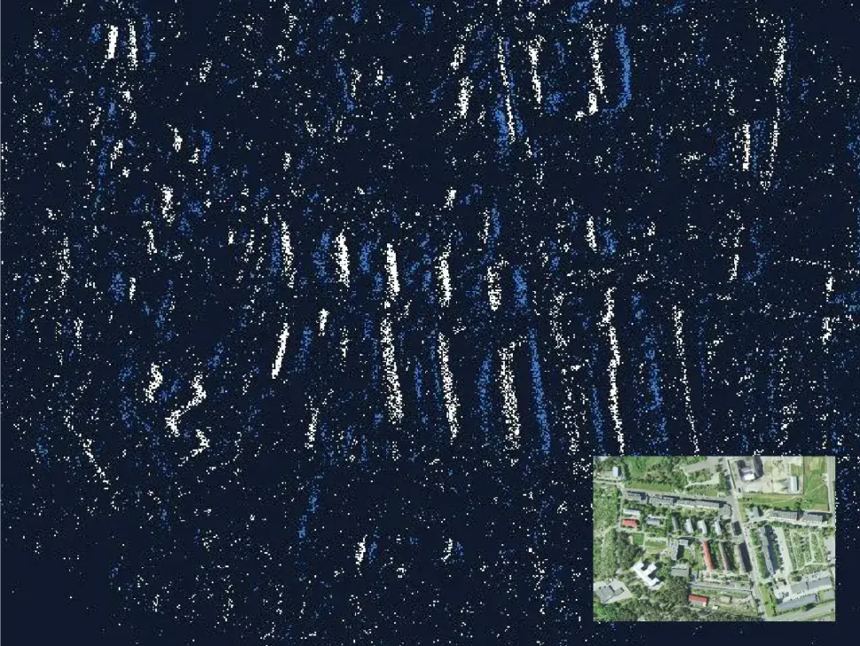
The system replaces GPS receivers with an external neuromorphic camera for the ground.
-
With a cost per shot close to zero, the DragonFire laser could change naval warfare in 2027 and provide British ships with nearly unlimited defense against drones.

-
A British startup creates tires that generate electricity in electric vehicles when passing over potholes, speed bumps, and cracks.

-
Scientists have created robots made with living cells that have their own nervous system, swim on their own, explore the environment, and self-organize without any genetic engineering, and now they want to do the same with human cells.

-
Students create a solar-powered ambulance that operates without a plug, without fuel, and still keeps medical equipment running in remote areas.


This camera, also known as an event camera, reacts independently of changes in brightness, capturing details of the terrain with extreme precision, even in low-light conditions.
How The Terrain Fingerprint Works
As the aircraft flies over the area, the camera maps the terrain and cross-references this information with a global database. This database contains stored “fingerprints” generated from images provided by sources such as NASA, NOAA, and Google Earth.
The exclusive use of contrasts of light and dark allows for high data compression, making the system efficient in terms of memory and processing.
A technology that does not rely on artificial intelligence, which facilitates its integration and reduces costs. Additionally, the system can operate even in challenging scenarios, such as snow-covered terrains or at night, thanks to the advanced NILEQ camera designed by MBDA.
“In an increasingly uncertain world, both commercial and military sectors can no longer rely solely on GNSS (Global Navigation Satellite System) for flight operations. There is an urgent need for additional navigation support to supplement platform inertial navigation and GNSS receiver systems“, said Advanced Navigation CEO, Chris Shaw.
Limitations and Alternative Solutions
In situations where the terrain is homogeneous – such as lakes or dense layers of clouds – the technology uses the active system of INS (Inertial Navigation System).
The technology ensures the aircraft’s position based on its last confirmed location, maintaining accuracy until terrain recognition is resumed.
However, prolonged trips over oceans or completely overcast areas represent challenges that are still under analysis.
The Future of Aviation
A demonstration of the technology is scheduled for next year in Australia, with commercial launch expected shortly thereafter.
This innovation not only offers a robust solution against GPS interference but also enhances the safety and reliability of global aerial navigation.
The transition to terrain-based navigation is an important milestone, bringing greater resilience to an industry that constantly seeks to overcome technological and natural challenges. The era of untouchable GPS may be coming to an end.


Como que vai ler o terreno com céu encoberto?
Vc deveria começar a ler o artigo inteiro 🙂
Creio que ainda se tenha que aperfeiçoar isso para as garantias que são necessárias na aviação. Servirá como backup ao GPS que já provou e confirmou a sua fiabilidade. As aproximações com fraca visibilidade e em condições de tempo adversas devem ser muito bem ponderadas com garantias de 99,9%.
Hehehe, se o Putin fizer uma cidade de papelão no formato de Brasília, o piloto de um caça não ataca… hehehe maravilha.