 English
  Francês
  Alemão
  Italiano
  Japonês
  Norueguês
  Portuguese
  Spanish
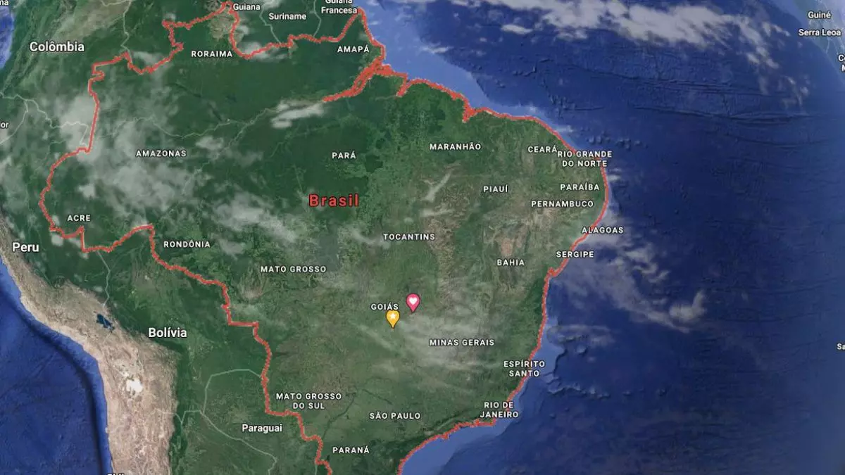
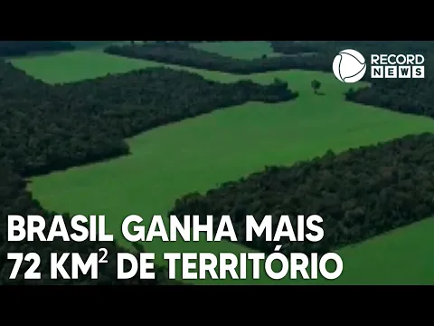
New Analysis of National Geography Brought Another Piece of Land to Brazil
The Brazilian territory grew in 2022, according to a survey by the Brazilian Institute of Geography and Statistics (IBGE), released this Wednesday (29) in Rio de Janeiro. However, the study adjusted the total area of the country to 8,510,417.771 km², representing an increase of 72.2 km², which may slightly modify some economic and geopolitical aspects.
The IBGE stated that the increase in territory is due to new delineations of international borders in parts of Amazonas, Rondônia, Mato Grosso, and Mato Grosso do Sul. The enhancement results from the physical reality of the rivers in the region and is in accordance with data provided by the Boundary Demarcation Commissions of the Ministry of Foreign Affairs. Check everything here!
Learn More About This New Territorial Study Done by the Agency with the Video Below
Changes in Municipal and State Boundaries
The IBGE also released updated maps with the new boundaries of 174 Brazilian municipalities. The changes in the political-administrative division of these cities occurred between May 1, 2021, and July 31, 2022. In addition, the updates result from the publication of new legislation, judicial decisions, and technical reports/opinions prepared by the state agencies responsible for the political-administrative division of each state and sent to the IBGE.
-
If the USA were to go to war with Brazil, Washington’s greatest fear would not be the attack itself, but facing a vast territory, prolonged resistance, and a costly, chaotic, and unpredictable occupation.
-
In 2013, Nicaragua sold the concession for a canal to rival Panama to a Chinese billionaire who lost 85% of his fortune, disappeared, and was declared bankrupt. Now the project resurfaces with a new route, a new Chinese partner, and a cost of $64.5 billion.
-
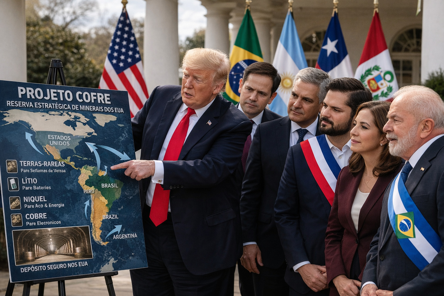
The USA announces a mysterious billion-dollar vault project to store critical minerals, but what intrigues experts is not just the plan itself, but why Latin America, including Brazil, has entered the center of this global dispute against China.
-
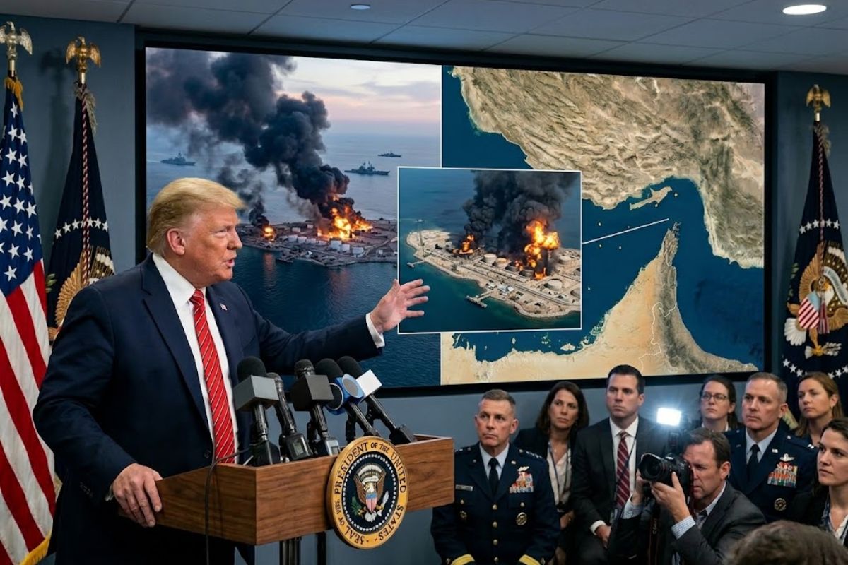
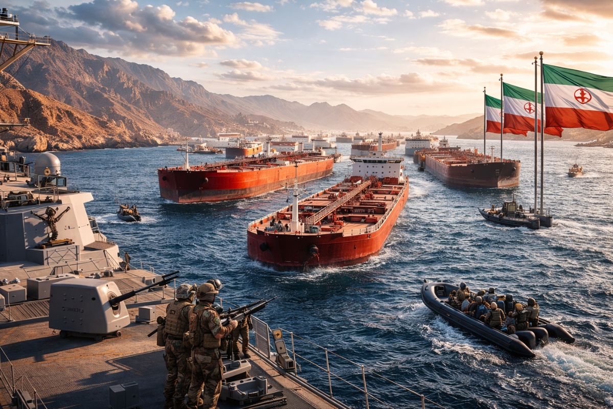
Trump Announces Bombing of U.S. Military Targets on Iranian Island Responsible for About 90% of Iran’s Oil Exports, Warns of Further Attacks if Navigation in Strategic Strait of Hormuz Is Threatened

The state with the highest number of changes in municipal boundaries was Rio Grande do Sul, followed by Pernambuco and Paraná. There were also changes in Mato Grosso, Maranhão, Rio Grande do Norte, Tocantins, and Goiás. Information about the changes can be found on the IBGE website.
With the recalculation of the borders, Brazil expands its territory and updates the political-administrative divisions of its municipalities. These changes reflect the constant evolution of the country’s geography and reaffirm the importance of keeping statistical data updated for a better understanding of the Brazilian territory.
The Impact of Changes in Borders and Municipalities
The changes in borders and municipalities can have a significant impact on different areas of the country. For example, changes in territorial division can affect the control and management of natural resources, such as rivers and forests, as well as have economic and political consequences.
In addition, the update of municipal divisions may affect the distribution of resources, such as taxes and government investments, among the affected municipalities. Therefore, it is important that these changes are well planned and implemented appropriately to minimize potential negative impacts.
The recalculation of Brazilian borders can bring significant impacts to the country’s economy, especially in the involved regions. Furthermore, with the expansion of territory in areas such as Amazonas and Mato Grosso, new business and investment opportunities may arise.
On the other hand, the demarcation of new borders can generate conflicts between neighboring countries and require adjustments in agreements and international treaties. It is important that the governments involved maintain constant dialogue and find peaceful solutions to potential territorial disputes.
The Role of IBGE in Monitoring Borders and Municipalities
The IBGE plays a fundamental role in monitoring the borders and municipalities of Brazil. After all, the institute is responsible for collecting and analyzing geographic and demographic data of the country, including information about territorial divisions.
With the recalculation of borders and the update of municipal boundaries, IBGE ensures that the geographic and population information of the country is always updated and accurate. However, this is essential for planning public policies and allows for the realization of studies and research in different areas, such as economy, environment, and health.
In summary, the recalculation of borders and the update of Brazilian municipal boundaries done by IBGE in 2022 demonstrates the importance of the constant update and improvement of the country’s geographic information. In addition to providing more accurate data about the national territory, these changes have a direct impact on the lives of people residing in the affected regions. After all, it influences everything from political-administrative division to issues related to the environment and natural resources.
It is a task that requires technical expertise, attention to detail, and cooperation among different government agencies and institutions. Finally, the dissemination of this information is essential to ensure transparency and access to information for all Brazilians, as well as being an indispensable tool for decision-making in various areas, such as urban, agricultural, environmental, and infrastructure planning.

Seja o primeiro a reagir!