 Portuguese
  English
  Spanish
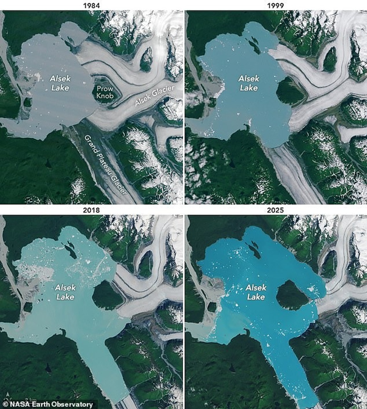
The Accelerated Melting of Glaciers in Alaska Is Deeply Altering the Local Landscape and Revealing Unprecedented Geographical Transformations. Among the Observed Effects, NASA Identified the Emergence of a New Island in the Alsek Glacier Region, Highlighting the Direct Impact of Climate Change on Glacial Environments.
NASA satellite images recorded the complete isolation of Prow Knob in southeastern Alaska, configuring a new island in Alaska directly associated with climate change. The small mountain, previously surrounded by the deep ice of the Alsek Glacier, now appears fully engulfed by water.
The formation of an island is usually linked to tectonic movements on the scale of centuries or millennia. In the case of Prow Knob, the process was observed over a span of four decades, alongside the rapid warming of the planet and documented glacial retreat.
An image from the Landsat 8 satellite from August shows that the mountain has lost any contact with the Alsek Glacier. NASA indicated that the transformation into an island occurred between July 13 and August 6, based on the comparison of successive orbital records.
-
After decades of failed attempts, Brazil is once again looking to space with an orbital rocket measuring 12 meters, weighing 12 tons, costing R$ 189 million, and scheduled for launch in 2026, in a new race to finally achieve autonomous access to orbit.

-
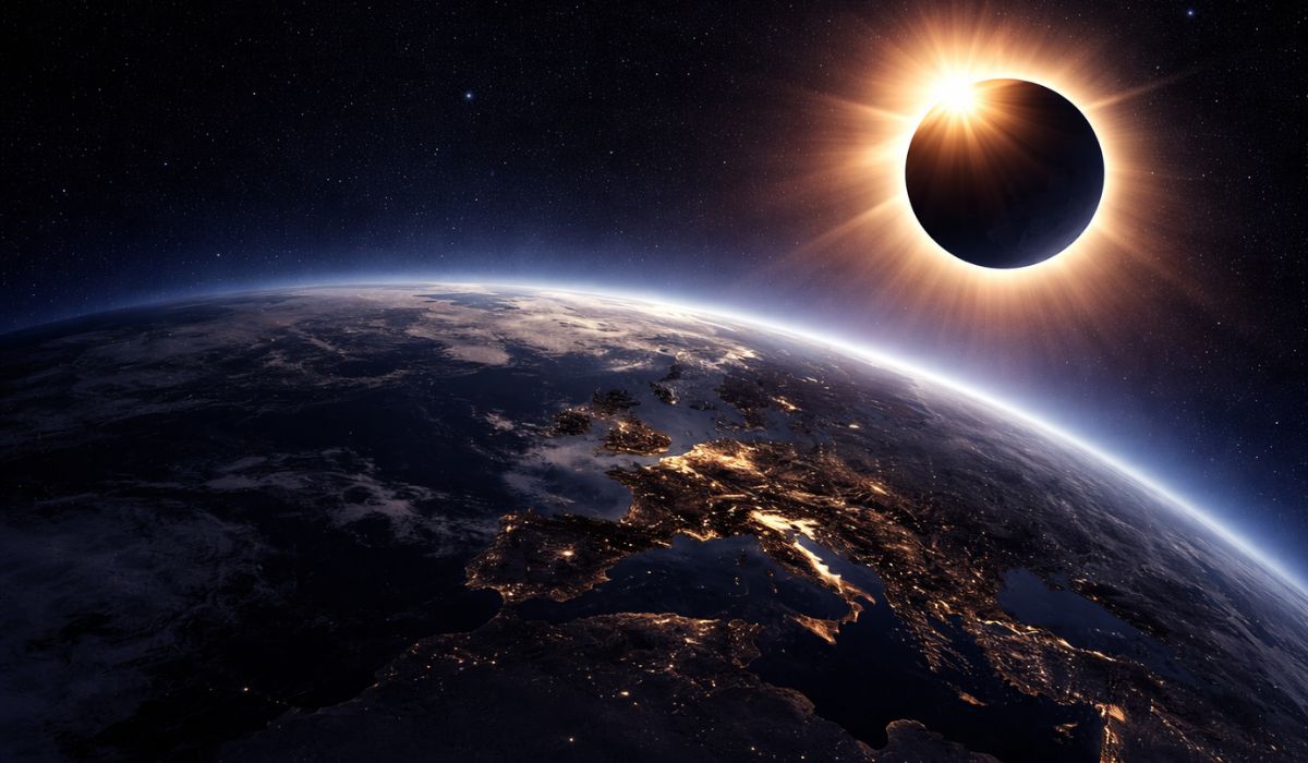
The Earth will plunge into a few minutes of darkness in broad daylight in August 2026, when a total solar eclipse transforms the sky into one of the most impressive astronomical phenomena in recent years.
-
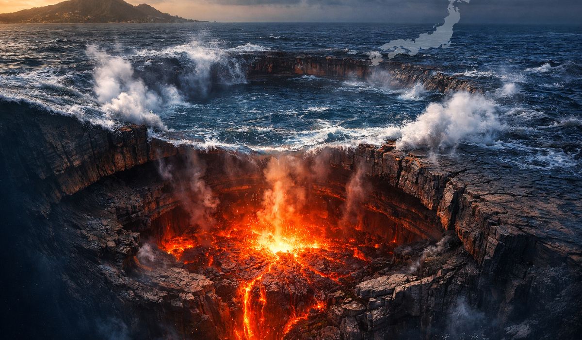
How the terraforming of Mars can transform the planet: artificial aerosols can increase the temperature by up to 35°C in 15 years, creating conditions for liquid water.

-
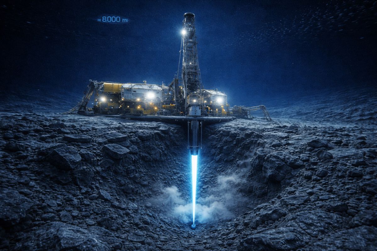
Scientists drilled nearly 8,000 meters into the ocean floor above the fault that caused the 2011 tsunami in Japan and discovered that a layer of clay 130 million years old was responsible for making the wave much worse than any model had predicted.

The agency attributed the phenomenon to anthropogenic global warming. In a statement from NASA’s Earth Observatory, it was reported that the rapid warming of the planet caused by human-induced climate changes is the driving agent behind the observed situation.
Lindsey Doermann, a scientific writer for NASA’s Earth Observatory, noted the alteration of the regional landscape: “Along the coastal plain of southeastern Alaska, water is rapidly replacing ice.” This assessment summarizes the hydrological dynamics identified.
Climate Change and the Case of Prow Knob
In the early 1900s, the Alsek Glacier extended about five kilometers west of the current island. Records from 1894 described the glacier as covering the entirety of what is now Alsek Lake, delineating a continuous glaciated environment.
Reports from 1907 mentioned the glacial front “anchored in a nunatak,” a rocky outcrop surrounded by ice on all sides. Prow Knob got its name due to its resemblance to the bow of a ship, then contained by an ice wall up to 50 meters high.
Aerial photographs from the 1960s still classified Prow Knob as a nunatak with ice surrounding it. Relative stability gave way as the climate warmed with rising greenhouse gas concentrations, weakening the glacial mass.
Doermann summarized the physical trend: “Glaciers in this area are becoming thinner and retreating, with proglacial meltwater lakes forming at their fronts.” This pattern was confirmed by time series from orbital sensors.
Orbital Timeline and Accelerated Retreat
In 1984, a Landsat 5 image showed the western edge of the glacier transformed into a lake margin. In the following decades, retreat continued and exposed additional parts of the mountain, altering the lake’s outline.
In the 1990s, the process accelerated when the northern arm of the glacier separated from a small island in the center of the lake. The front became susceptible to iceberg calving, with block breakage and increasing instability.
The retreat of glacial tributaries to the north and south reduced the supply of new ice to the main body. The loss of internal feeding contributed to the acceleration of thinning and front displacement.
Between 2018 and the recent period, retreat intensified, and the area around Prow Knob became exclusively aquatic. The complete isolation determined the island’s condition, concluding the transition captured by Landsat passes.
Lacustrine Effects and the New Hydrological Configuration
The alteration of the glacial boundary reconfigured Alsek Lake. Since 1984, the area increased from 45 km² to 75 km². The expansion forms a broader picture in the basin, with Harlequin and Grand Plateau lakes.
Taken together, the three glacial lakes more than doubled in size over forty years. The expansion was associated with the redistribution of meltwater in depressions once occupied by ice.
On a regional and global scale, glacial lakes show significant growth. Last year, glaciologist Mauri Pelto warned NASA that Alaska is approaching a “new lake district,” with implications for hydrological risks.
The theme of climate change also emerges in the danger component. Lakes supported by natural dams of rock and ice may release sudden volumes if the structure fails, causing rapidly propagating floods.
Climate Change and Glacial Flood Risk
As glaciers melt, water migrates to depressions and forms large lakes. Many natural dams have been deposited over centuries and exhibit structural fragility under additional loads.
If the barrier fails, a wave of water and debris can rush down the valley at 30 to 100 km/h, with significant destructive potential. The mechanism frames sudden flooding events in glacial terrain scenarios.
A study published last year estimated that 10 million people worldwide face risks associated with glacial flooding. This estimate underscores the relevance of remote monitoring and mapping of proglacial basins.
In this context, climate change acts as a pressure factor, intensifying melting and the transfer of mass to lake reservoirs. The technical reading prioritizes orbital data and historical series.
Sea Level Impacts and Sectorial Projections
The melting of glaciers and ice sheets would have a “dramatic impact” on global sea levels. Projections indicate a rise of up to 3 meters with the collapse of the Thwaites Glacier in West Antarctica.
The rise in sea levels threatens urban centers such as Shanghai and London, low-lying areas of Florida and Bangladesh, as well as island nations like the Maldives. Major cities like New York and Sydney are on the list of risks.
Parts of New Orleans, Houston, and Miami in the southern US would be particularly affected. In the UK, a rise of 2 meters or more would put areas such as Hull, Peterborough, Portsmouth, and portions of eastern London and the Thames estuary at risk.
2014 study by a union of concerned scientists analyzed 52 sea level indicators in communities in the US. The projections pointed to a sharp increase in tidal flood events in the coming decades.
By 2030, more than half of the 52 communities assessed would face at least 24 tidal floods per year in exposed areas, considering a moderate rise in sea level. Twenty locations could register triple or more.
The Mid-Atlantic Coast was highlighted with the highest increases. Annapolis (Maryland) and Washington, D.C. may exceed 150 annual tidal floods, with New Jersey locations close to 80 events per year.
In the UK, a rise of two meters by 2040 would leave large portions of Kent almost completely submerged, according to a paper in the Proceedings of the National Academy of Sciences from November 2016. Other coastal and inland areas were also identified.
Portsmouth, Cambridge, and Peterborough would experience significant impacts. Cities and towns around the Humber estuary, such as Hull, Scunthorpe, and Grimsby, would be subject to intense flooding under the considered scenarios.
Orbital Monitoring and Emphasis on Evidence
The case of Prow Knob illustrates how climate change can be documented through satellite series, combining records from Landsat 5 and Landsat 8 in comparable windows. The technique enables objective comparisons of glacial margins.
The timeline between July 13 and August 6 defines the probable window of isolation for the mountain. The interpretation was anchored in high-resolution images and technical reports of historical observation.
The transition from a nunatak surrounded by ice to a new island in Alaska marks the geomorphological transition. The reading of the data was accompanied by technical testimonies and descriptive records since 1894.
The expansion of Alsek Lake from 45 km² to 75 km² reinforces the trend of hydrological reorganization. The set with Harlequin and Grand Plateau confirms the growth of free volumes recorded over four decades.
The consolidation of this evidence, in association with climate change, provides a reference framework for risk assessment, coastal planning, and monitoring of warming glacial basins. The case remains open for ongoing follow-up.


-

-

2 pessoas reagiram a isso.