 Portuguese
  English
  Spanish
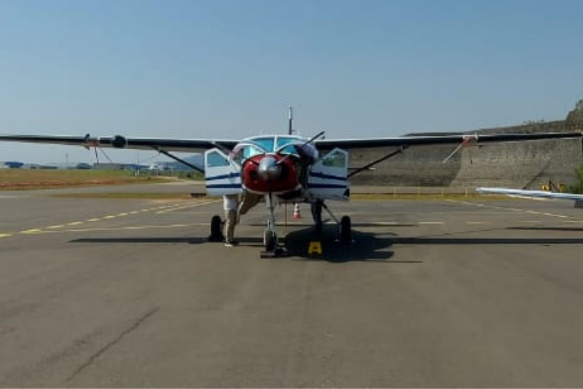

Aerogeophysical Surveys in Brazil Begin New Phase with Calibration of Systems and Strategic Flights that Strengthen Mineral Mapping and National Energy Transition
The aerogeophysical surveys in Brazil mark the beginning of a new technological and strategic phase led by the Brazilian Geological Service (SGB), according to a report published.
The company LASA Prospecções S.A. (Xcalibur Smart Mapping), the winning bidder, has started this week the calibration work of the aerogeophysical systems that will be used in the survey of the southeast region of Tocantins.
This stage is essential to ensure the precision, quality, and reliability of the data that will make up the largest geological mapping effort of the current decade in the country.
-
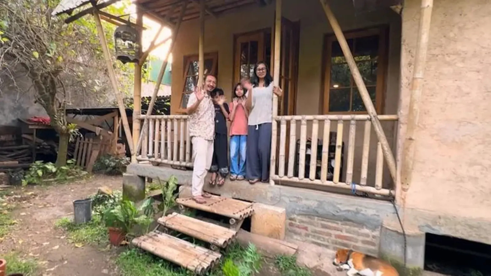
With earth, bamboo, straw, and lime mortar, a specialist builds a house for just over $460 and draws attention for its cost being much lower than traditional construction.
-
São Paulo surprises the world with a colossal railway network project that promises over 1,000 km of tracks, R$ 194 billion in investments, and 40 projects connecting the capital to the interior with fast and sustainable trains.

-
If the USA were to go to war with Brazil, Washington’s greatest fear would not be the attack itself, but facing a vast territory, prolonged resistance, and a costly, chaotic, and unpredictable occupation.

-
In 2013, Nicaragua sold the concession for a canal to rival Panama to a Chinese billionaire who lost 85% of his fortune, disappeared, and was declared bankrupt. Now the project resurfaces with a new route, a new Chinese partner, and a cost of $64.5 billion.

The calibrations take place at three technical poles: Rio de Janeiro, Jundiaí (SP), and Orós (CE), defined in partnership with the SGB after detailed analyses aligned with international geophysical acquisition standards.
Next, the aircraft will proceed to Porto Nacional (TO), where the operational base for the flights responsible for collecting data for the third generation of aerogeophysical surveys in the national territory will be set up.
Mineral Prospecting and High-Precision Geological Mapping Are Part of Aerogeophysical Surveys in Brazil
The new cycle of aerogeophysical surveys in Brazil is part of the Growth Acceleration Program (NOVO PAC) and reinforces the federal government’s commitment to generating knowledge about the Brazilian subsoil.
The technology employed allows for the identification of variations in the gravimetric, magnetometric, and gamma-spectrometric properties of rocks, revealing information about soil type, geological structure, and the presence of strategic minerals.
With the advancement of mineral prospecting and high-precision geological mapping, the country expands its capacity for territorial planning and stimulates investments in sustainable mining.
The data obtained will support scientific research projects, mineral exploration, and environmental management, contributing to the balanced development of regions with mineral potential that is still underexplored.
Aerial Calibration and International Quality Standards
During the calibration stages of the equipment, each technical parameter is verified according to international standards for aerogeophysical surveys in Brazil.
This process ensures that the sensors and measuring systems operate steadily and safely during the flights. LASA Prospecções S.A. uses modern methodologies for magnetic and radiometric calibration, ensuring data compatibility with global geological databases.
The test areas in Rio de Janeiro, Jundiaí, and Orós were strategically chosen for their distinct geological characteristics, allowing for more complete and representative measurements.
This stage is considered essential before the definitive data collection in the field, since small inaccuracies could compromise scientific analyses and interpretations of mineral and water resources.
Energy Transition and Valuation of Sustainable Water Resources
The aerogeophysical surveys in Brazil also play a crucial role in the energy transition and in the management of sustainable water resources.
The information obtained will allow for the identification of reserves of essential minerals for battery, solar panel, and wind turbine production, vital elements for the decarbonization of the economy.
Additionally, the studies enhance knowledge about aquifers and subterranean water systems, fundamental for the country’s water and food security.
By uniting science, technology, and sustainability, the project boosts national competitiveness in the global scenario and reinforces the importance of research applied to the mineral, energy, and environmental industries.
The surveys strengthen Brazil’s autonomy in generating strategic data and consolidate the role of the SGB as a reference in geosciences in Latin America.


Great article, thank you for sharing these insights! I’ve tested many methods for building backlinks, and what really worked for me was using AI-powered automation. With us, we can scale link building in a safe and efficient way. It’s amazing to see how much time this saves compared to manual outreach.
thanks