 Portuguese
  English
  Spanish
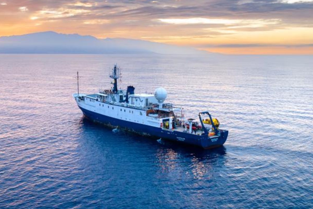
In Seven Expeditions And 113 Days At Sea, The Scientific Vessel Mapped Over 106,000 Km² Of The Ocean Floor, Investigated Active Volcanoes, Documented Wrecks Of Guadalcanal, And Expanded The Portrait Of Biodiversity In Deep Water
The scientific vessel E/V Nautilus concluded a six-month field season in the Pacific Ocean with a balance that mixes cutting-edge technology and a chain of discoveries. Throughout seven multidisciplinary expeditions, the scientific vessel traveled different regions, combining seabed mapping, ROV operations, and biological surveys in hard-to-reach areas.
In total, the season amounted to 113 days at sea, with over 106,000 km² mapped, 36 successful ROV dives, and 20 deployments of other vehicles. Among the highlights are the exploration of active submarine volcanoes in the Marianas, the documentation of historical wrecks related to the Battles of Guadalcanal, and the identification of more than 400 unique species recorded for the first time in the Cook Islands, with dives reaching 5,200 meters.
Six Months And Seven Expeditions: The Itinerary Of The Scientific Vessel In The Pacific

The season was structured in phases with different objectives, passing through Guam, the Mariana Islands, the Solomon Islands, the Marshall Islands, Howland and Baker Islands, and the Cook Islands.
-
What if the Sun disappeared suddenly? Simulation shows Earth in darkness within minutes, extreme cold, and rapid collapse of life on the planet.

-
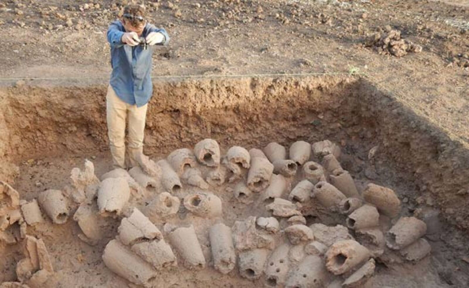
A 2,400-year-old iron foundry has been discovered in Senegal with 100 tons of slag, 35 furnace bases, and signs of nearly eight centuries of continuous metallurgical activity.
-
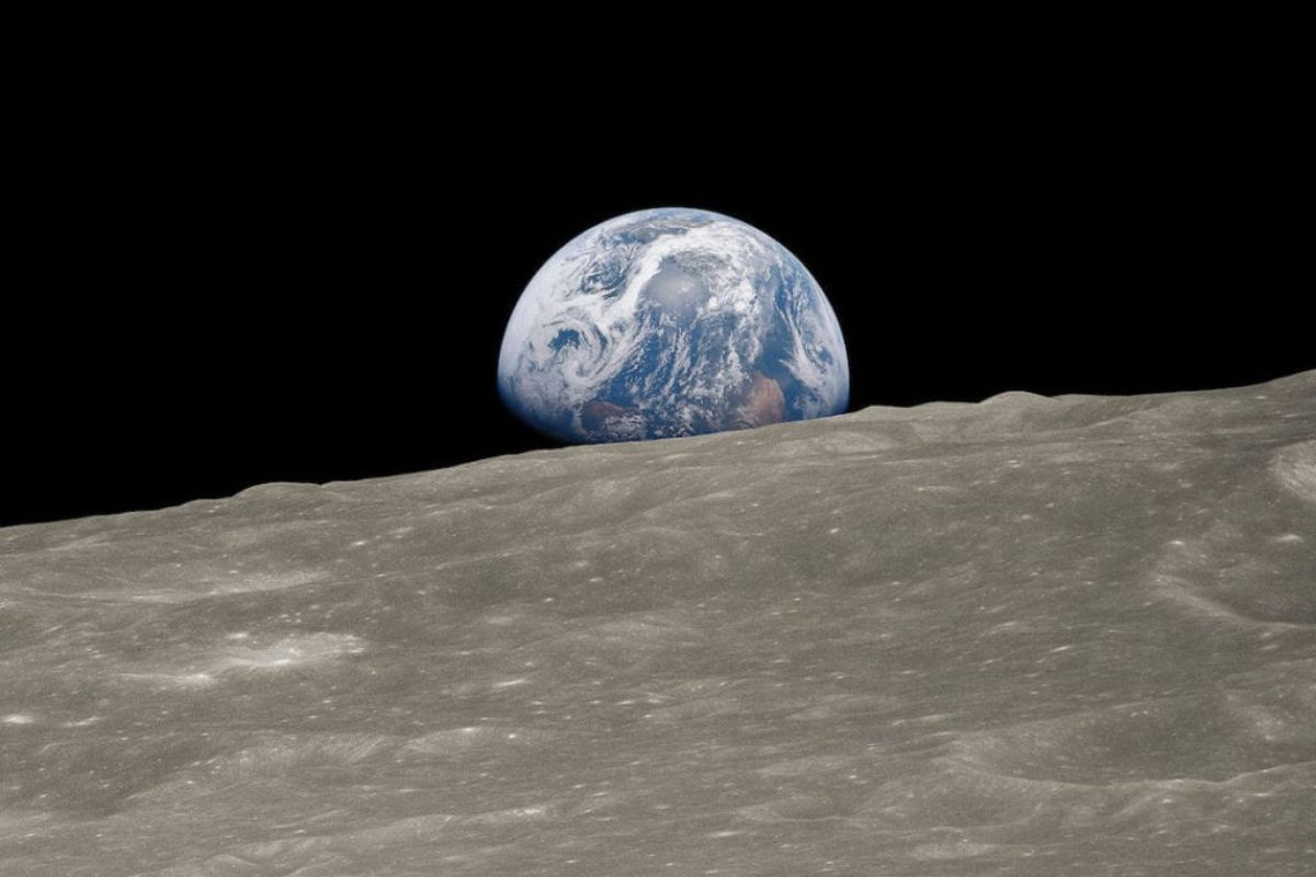
Four humans are flying towards the Moon inside the Orion capsule launched by the SLS rocket, and on April 6, Artemis II will disappear behind the far side of the Moon without communication with Earth for nearly an hour.
-
Worlds covered by water, atmospheres filled with hydrogen, and the possibility of life beyond Earth: ocean planets are rewriting the map of cosmic search and forcing scientists to rethink where to look.


The scientific vessel operated with a focus on high-coverage mapping and robotic dives, integrating remotely operated vehicles, autonomous vehicles, and large-scale oceanographic monitoring initiatives.
The final result combined exploration of deep habitats, maritime archaeology, and sample collection, in addition to a robust outreach effort, which brought the experience of the scientific vessel to millions of people in different countries.
Preparation In Guam: Testing For Mapping, ROV, And Telepresence
Before starting the main cycle, the scientific vessel conducted an annual testing expedition from April 26 to May 2, in the waters around Guam.
The team performed quality assurance checks on mapping and navigation systems, including testing and calibrating acoustic and underwater positioning instruments.
This phase also included four test dives with the two-body ROV system, in different configurations, totaling over 20.8 hours of diving. The logic was simple: reduce risk and increase reliability before taking the vehicles to more complex and deeper environments.
Active Volcanoes In The Marianas: New Lava, Gases, And Changing Hydrothermal Sources
Between May 7 and 28, the scientific vessel supported the exploration of deep-water habitats around the Mariana Islands. Over 20,504 km² of the seabed were mapped and nine ROV dives were conducted, covering from very ancient formations to areas of intense volcanic activity.
At Ahyi Seamount, the ROVs explored a newly formed lava cone and observed that it was still releasing gases intensely over a large area.
At Daikoku Seamount, the team documented substantial changes compared to the 2016 survey, including the disappearance of a melted sulfur lagoon near the top.
At the Hafa Adai hydrothermal field, the scientific vessel recorded that a large black smoking chimney had collapsed since its discovery in 2016 and that a smaller new chimney was forming in its place.
The expedition also expanded knowledge about reefs by exploring shallower seamounts in the Western Mariana Ridge, where healthy coral reefs were found between 50 and 100 meters.
Additionally, there were six deployments of the Orpheus Ocean AUV, focusing on abyssal plain habitats in a previously unexplored area east of the Mariana Trench.
Mapping In Transit And Fauna Observed From The Deck
From June 21 to 28, the scientific vessel conducted an expedition that needed to redirect the initial plan after delays due to unforeseen repairs. The main focus shifted to mapping operations in transit in the Western Pacific, with 13,691 km² mapped in the waters around Guam, the Federated States of Micronesia, and the Solomon Islands.
Even with the prioritization of mapping, the scientific vessel conducted visual surveys of fauna from the observation deck, documenting 631 individuals from 11 species of seabirds and recording cetacean species, including sperm whales and short-finned pilot whales.
The expedition also launched six Argo biogeochemical buoys, contributing to the monitoring coverage of the Western Pacific within a global network of thousands of operational buoys.
Wrecks Of Guadalcanal: Maritime Archaeology In Iron Bottom Sound

Between July 2 and 23, the scientific vessel conducted an expedition to the Solomon Islands to explore maritime heritage sites associated with the Battles of Guadalcanal in Iron Bottom Strait.
The operation integrated the unmanned surface vehicle DriX, used 12 times, totaling 380 hours of operation, with mapping of 979 km² of the seabed and recording of 112 potential targets.
The most relevant targets were investigated with the vessel’s ROVs in six dives, totaling 138 hours and more than 56 kilometers of linear trajectory.
In the end, 13 maritime heritage sites were documented, including two found for the first time and one photographed for the first time, in addition to several wrecks that had previously been only partially recorded.
Each site was researched systematically and thoroughly, with high-resolution maps using multibeam data and close visual surveys to record features and wreck fields.
Marshall Islands: Deep Biodiversity And Environmental DNA On A Large Scale
Between July 27 and August 17, the scientific vessel shifted focus to deep-water habitats around the Marshall Islands. The team mapped 31,421 km² of the seabed and 15 seamounts, in addition to completing 10 ROV dives.
Among the observations were high-density and diversity deep communities, the discovery of at least two new species of octocorals, and multiple new records of invertebrates for the region.
A central point was the integration of an autonomous environmental DNA sampler into the ROV Hercules. With it, the scientific vessel filtered over 20,000 liters of seawater at depth and collected 161 eDNA samples.
This totaled 77 biological samples and 30 geological samples to support studies of biodiversity, coral reproduction, biogeography, and geological context. The mission was also planned in collaboration with local stakeholders, including a pre-workshop and participation of scientists based in the Marshall Islands.
Howland And Baker: Wide Mapping And Surveys Of Seabirds
From August 20 to September 5, the scientific vessel conducted an expedition focused on mapping the seabed in the U.S. Exclusive Economic Zone around Howland and Baker Islands and in unmapped areas along the route between the Marshall Islands and American Samoa.
More than 18,003 km² were mapped, including 11,192 km² in the Exclusive Economic Zone, with four large seamounts fully mapped.
In addition to mapping, there were surface surveys on the abundance and diversity of marine fauna. The scientific vessel documented over 8,000 birds from at least 27 species and also recorded cetaceans, including confirmations of short-finned pilot whales and Cuvier’s beaked whales.
Cook Islands: Dives At 5,200 Meters And More Than 400 Species Registered
Between October 1 and 21, the scientific vessel supported an expedition in the Cook Islands focusing on mapping abyssal plain habitats. Data were collected in 14,145 km², along with seven ROV dives that reached the seabed at depths of up to 5,200 meters in areas rich in polymetallic nodules.
Due to the deeper environments, the mission used the ROV Little Hercules, capable of 6,000 meters, instead of the ROV Hercules, with a capacity of 4,000 meters.
The scientific vessel also integrated an MxD SeaCam, which provided detailed images of the seabed. In these observations, more than 400 unique species were recorded, the vast majority noted for the first time in the Cook Islands, including the rare deep-sea squid Magnapinna.
The expedition also launched two autonomous dive vehicles at 4,800 and 5,000 meters, designed to collect acoustic and environmental data continuously for months.
Education And Outreach: Millions Followed The Scientific Vessel
Throughout the season, the exploration was widely shared. The live broadcasts totaled over 830,000 views, while highlight videos surpassed 878,000 views. The content on social media generated more than 69 million impressions.
The scientific vessel and the team produced 63 highlight videos, 37 blog posts, and 11 photo albums.
There were also 418 live interactions between the vessel and the coast with schools and events, reaching over 16,000 people in 38 U.S. states and in various countries and territories in the Pacific, as well as another 15 countries.
Data And Impact: From The Deck To Repositories And Public Science
With the exception of datasets that include location of sites protected by federal regulations, the data collected by the scientific vessel were directed to repositories for archiving and public distribution, with availability also upon request.
The season contributed to priorities of the scientific community and resource management, in addition to engaging with broad initiatives for mapping and characterizing the oceans and with oceanographic monitoring goals.
Overall, the scientific vessel E/V Nautilus reinforced how multidisciplinary missions, with integration of vehicles, sensors, and telepresence, accelerate data production and expand the reach of discovery.
What part of this season of the scientific vessel impresses you the most: the dives at 5,200 meters, the active volcanoes, or the wrecks of Guadalcanal?


-

-

4 pessoas reagiram a isso.