 Portuguese
  English
  Spanish
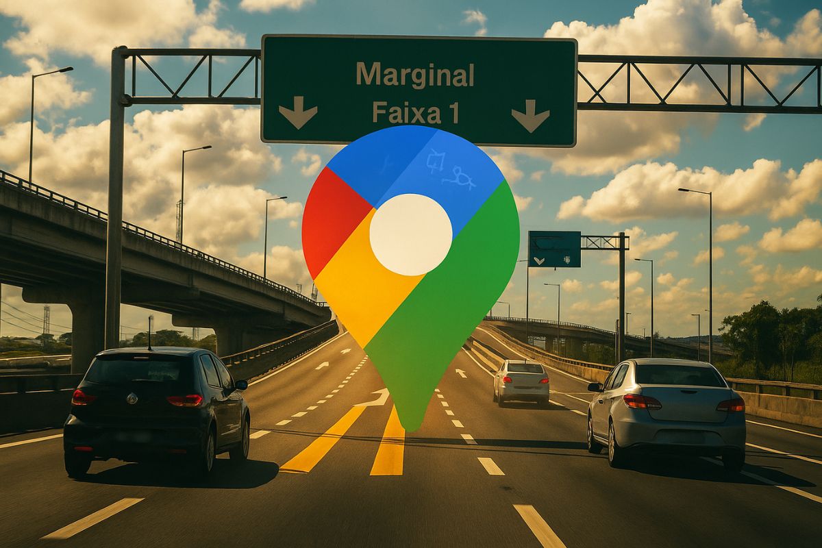
New Google Maps Feature Will Use Artificial Intelligence to Instantly Indicate Which Lane the Driver Should Take, Reducing Sudden Maneuvers, Avoiding Exit Errors, and Making Navigation More Natural on Multi-Lane Highways
The new Google Maps feature was presented as an evolution of the traditional navigation model and marks the definitive entry of the app into a level of guidance that is closer to what the driver actually sees on the road. Instead of just showing the route on the map, the system now interprets the lanes with the help of artificial intelligence and computer vision, comparing what appears on the vehicle’s cameras with the route instructions. This way, the app can indicate in advance which lane to occupy and when to change.
Initially, the new Google Maps feature will be released first in vehicles equipped with Android Automotive, starting with the Polestar 4 and in fleets in the United States and Sweden, before reaching other models and markets. The aim is to reduce the stress of driving on unknown roads, with confusing signage or many forks, a common pain for those who rely on GPS to travel or work.
How the New Google Maps Feature Will Work
The new Google Maps feature combines route data, vehicle camera, and artificial intelligence processing to identify the car’s position on the road. With this, it can project visual and voice instructions on the interface indicating the correct lane.
-
How to build a floating island from scratch with reeds, giant blocks, and stakes in the lake in a process that needs to be repeated almost every day.

-
A forgotten cord on the floor of a basement in Vienna leads a plumber to a box containing 30 kilograms of gold with Mozart’s face, hidden before World War II. The treasure, worth 2.3 million euros, was just centimeters away from a worker who ignored the sign a day earlier.

-
A couple buys an old chalet, breaks the kitchen floor for renovation, and finds over a thousand coins of gold and silver hidden since the English Civil War over 4 centuries ago.

-
Rigid bags with their days numbered: new trend prioritizes comfort in 2026.

In practice, the driver will no longer just have the information that they need to exit to the right in 500 meters. They will know that they need to enter the right lane now to make that exit safely.
This reading is done in real-time because the system analyzes the lane markings, recognizes the number of lanes, and adapts the instruction to what is actually on the road.
This represents a leap from the traditional two-dimensional map, which does not see the lane, only the layout of the road.
Once the app can see the same scene as the driver, it can guide more accurately.
Why Lane Guidance is Relevant
Urban highways and ring roads often have multiple lanes, exits that are very close together, and entrances that require quick lane changes. When the driver receives the instruction too late, they perform sudden maneuvers, cut off cars, or miss the exit.
The new Google Maps feature was designed specifically to reduce this type of situation and, consequently, the risk of side collisions or forced returns.
Another important point is that roads in different countries have distinct signage and geometry. By using artificial intelligence and computer vision, the new Google Maps feature no longer relies solely on the map database and begins to adapt to what is actually in the field of vision. This ensures more reliable instructions even in places where the paint is worn or where there is construction.
Integration with Android Automotive and Expansion
The launch of the new Google Maps feature coincides with the expansion of Android Automotive, Google’s automotive platform that is already present in dozens of models around the world and has been receiving new entertainment and productivity functions. As the system runs directly in the car, it has access to cameras and sensors, which facilitates this type of advanced navigation feature.
Initially, the function will reach a smaller base of vehicles for validation and will then be gradually distributed. The logic is the same used by Google for other innovations: release in markets that already have connected cars and, based on the results, expand to more countries. This means that the new Google Maps feature was designed to be scalable and become the standard for navigation when the ecosystem matures.
AI and Computer Vision for Safety
The main innovation lies in how the new Google Maps feature uses artificial intelligence. Instead of just calculating routes, the system starts to interpret the driving scene. It identifies lanes, crosses the information with the route, and delivers to the driver the action that should be taken at that moment. It is a layer of context that brings the app closer to the behavior of an experienced co-pilot.
The direct effect is the reduction of distractions. If the driver receives clear instructions at the right moment, they do not have to keep looking at the screen multiple times to understand which lane to take.
Less time looking at the map means more time looking at the road, which is the central goal of any navigation evolution. In heavy traffic environments, this makes a difference.
What Changes for Those Who Already Use Maps Every Day
For the average user, who is already accustomed to Google Maps for commuting or traveling, the change will come in the form of more specific instructions. Instead of just hearing turn right, the user will be able to hear enter the right lane to turn right.
In segments of highways with multiple exits, the app may alert in advance that that exit requires an exclusive lane, preventing the driver from missing access.
This improvement also works in conjunction with other features that Google has been testing, such as a mode that reduces distractions while driving and new, clearer icons.
The company has been adjusting the driving experience so that Maps transitions from being just a map to a context-driven driving platform. The new Google Maps lane guidance feature is the most concrete step in this direction.
The new Google Maps feature shows that the path of digital navigation is to increasingly use artificial intelligence to bring the app closer to the reality of the road and provide instructions that truly help the driver in the most critical moments of driving.
With real-time lane guidance, the trend is that routes become safer and smoother, especially on complex highways.
Now tell us in the comments if you have ever missed an exit because of delayed GPS instruction and if you think this new feature solves the problem.


-

2 pessoas reagiram a isso.