 Portuguese
  English
  Spanish
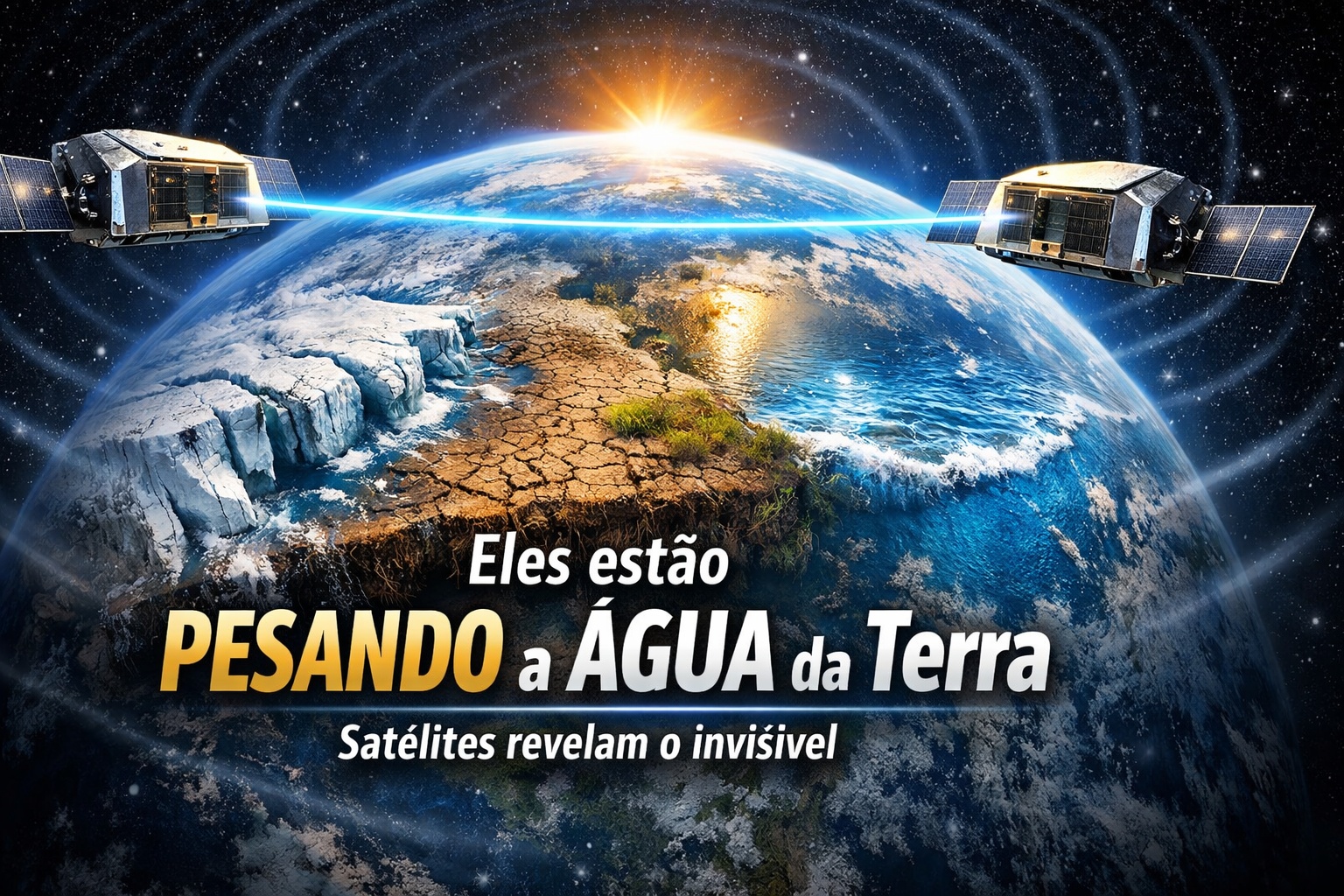
GRACE Mission Uses Gravitational Variations to Measure Ice Loss, Aquifer Depletion, and Sea-Level Changes on a Global Scale.
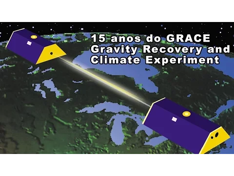
Since 2002, a pair of satellites has been carrying out one of the most delicate tasks in modern science: measuring small variations in Earth’s gravitational field to understand how water moves and redistributes around the planet. The GRACE mission, short for Gravity Recovery and Climate Experiment, was launched in March 2002 as a partnership between NASA and the German Aerospace Center (DLR). In 2018, the mission was succeeded by the GRACE Follow-On, ensuring continuity in measurements.
At approximately 400 kilometers above the Earth, two identical satellites fly in formation, separated by about 220 kilometers. At first glance, they appear to be just another pair of orbital scientific instruments. But what they do is unique: they can detect minimal changes in the distance between them, caused by variations in Earth’s gravity.
These variations are enough to “weigh” masses of water, ice, and even invisible underground reservoirs.
-
Motorola launched the Signature with a gold seal from DxOMark, tying with the iPhone 17 Pro in camera performance, Snapdragon 8 Gen 5 that surpassed 3 million in benchmarks, and a zoom that impresses even at night.

-
Satellites reveal beneath the Sahara a giant river buried for thousands of kilometers: study shows that the largest hot desert on the planet was once traversed by a river system comparable to the largest on Earth.

-
Scientists have captured something never seen in space: newly born stars are creating gigantic rings of light a thousand times larger than the distance between the Earth and the Sun, and this changes everything we knew about stellar birth.

-
Geologists find traces of a continent that disappeared 155 million years ago after separating from Australia and reveal that it did not sink, but broke into fragments scattered across Southeast Asia.

How Gravity Reveals Invisible Water
The gravity of the Earth is not uniform. It varies slightly based on the distribution of mass on the planet. Large concentrations of water, ice, or rock alter, even if almost imperceptibly, the local gravitational field.
When the leading satellite of the GRACE mission passes over an area with higher mass, such as a mountain range or a large aquifer, it experiences a slight gravitational acceleration. This acceleration alters the distance between the two satellites by fractions of a millimeter.
Extremely precise sensors continuously measure this variation. From this data, scientists construct detailed maps of changes in the mass of the Earth’s surface over time.
The physics behind the process is based on the law of universal gravitation. Small changes in mass generate small changes in gravitational force. The system measures these alterations with micrometric precision.
Monitoring Glaciers and Ice Caps
One of the most important applications of the mission is monitoring ice in polar regions.
Since the beginning of measurements, GRACE data has shown significant mass loss in Greenland and Antarctica. Studies published based on the measurements indicate that billions of tons of ice are being lost annually in these regions.
The reduction in mass alters the local gravitational field, allowing for quantification of melted ice volume.
This information is crucial for sea-level rise estimates. Unlike conventional satellite images, which only show surface area, GRACE measures the actual mass, offering a volumetric view of change.
Underground Aquifers Under Orbital Surveillance
Besides ice, the mission allows for the monitoring of underground water reserves. Intensive agricultural regions, like parts of India and California, show significant reductions in aquifers due to continuous water extraction for irrigation.
These reductions in mass also alter the local gravity. Scientific studies based on GRACE data have revealed a concerning decline in major global aquifer systems.
This is one of the only tools capable of measuring, on a continental scale, the variation of underground water. Without physical drilling, the mission detects invisible changes beneath the surface.
Oceans and Sea-Level Rise
The redistribution of melted water from ice caps contributes to global sea-level rise.
GRACE measures the additional mass accumulated in the oceans. This approach complements oceanic altimeters, which measure sea surface height.
While altimeters register thermal expansion and physical elevation, GRACE quantifies the mass gain. Combining both methods provides more comprehensive estimates of ocean dynamics.
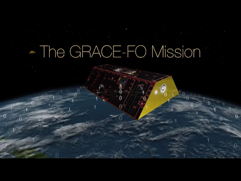
Continuity with GRACE Follow-On

After the original mission ended in 2017, GRACE Follow-On was launched in May 2018.
The new mission maintains the gravitational measurement methodology, incorporating technological improvements, including a laser interferometry experiment for even more precise distance measurement between satellites.
Continuity is essential to maintain long historical series, crucial for climate analysis. Without consistent data over decades, it would be impossible to identify reliable trends.
Limitations and Scientific Challenges
Despite its precision, the mission’s spatial resolution is relatively broad, covering areas of hundreds of kilometers.
The system detects mass variations on a regional scale, not local.
Moreover, interpreting the data requires complex mathematical models to separate effects of water, ice, and geological movements. Even so, GRACE remains one of the most robust tools for global hydrological monitoring.
An Orbital Scale for the Planet
The GRACE mission has transformed the gravitational field into a tool for climate monitoring.
While optical satellites show visual images of the Earth, GRACE reveals invisible changes in mass distribution. The water that evaporates, freezes, melts, or infiltrates the soil slightly alters the planet’s gravity.
At 400 kilometers above the surface, two satellites track these changes with extreme precision.
By “weighing” the planet repeatedly, the system provides concrete evidence about the state of global water and ice reserves. What happens below the surface or beneath kilometers of ice does not remain hidden.
The GRACE mission demonstrates that gravity, a fundamental force of nature, can become a tool for climate monitoring.
More than just observing, it measures the real weight of the changes shaping the planet’s future.


-

2 pessoas reagiram a isso.