 Portuguese
  English
  Spanish
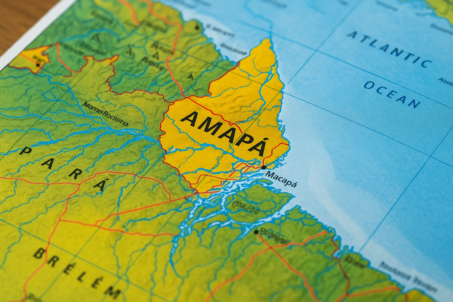
Unprecedented Publication Brings Together Physical, Socioeconomic, And Environmental Data Of Amapá Municipalities
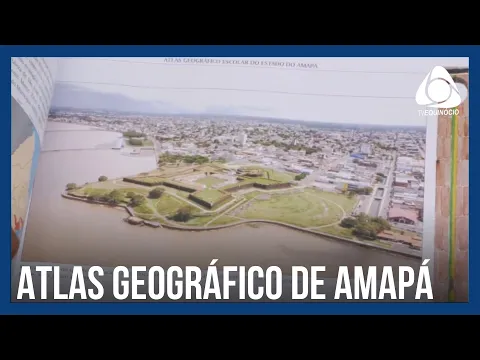
It was officially launched on Monday, June 23, 2025, the first educational geographic atlas dedicated exclusively to the state of Amapá.
The work was developed by researchers from the Federal University of Amapá (Unifap) and the Scientific and Technological Research Institute of the State of Amapá (Iepa).
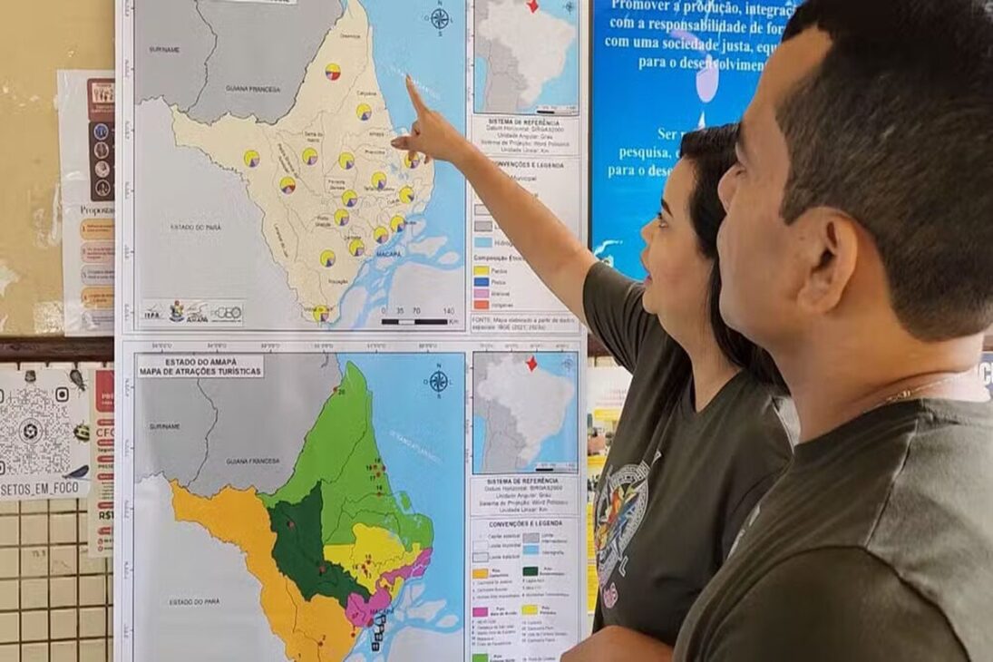
It presents 40 thematic maps that address physical, economic, population, and environmental aspects of Amapá municipalities.
-
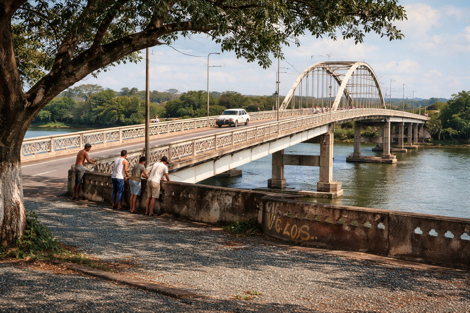
Families have been living for over 30 years under a bridge in Mato Grosso, revealing a housing deficit, irregular occupation in APP, and dependence on fishing as the main source of income.
-
What Changed at Florianópolis Beaches? New Rule Surprises Pet Owners and Restricts Dogs on the Sand at Specific Times

-
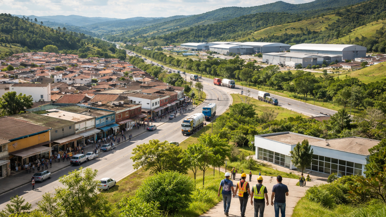
Economic Diversification Accelerates in Itatiaiuçu to Reduce Mining Dependence
-
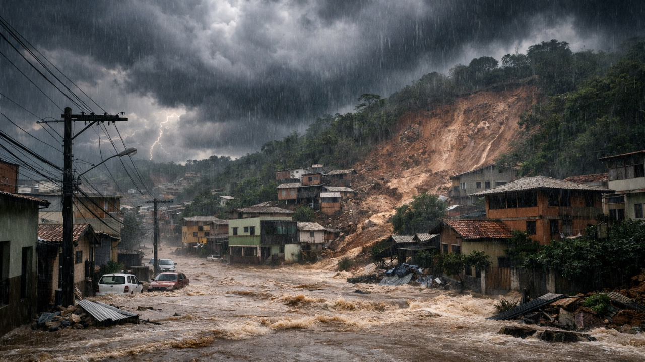
Extreme Rains: Cold Front, Supercell, and Atmospheric Trough Cause Tragedy in MG

The launch ceremony took place at the Auditorium of the University of the State of Amapá (UEAP), in Macapá.
Authorities, educators, and students participated in the event.
The initiative marked a significant step in valuing regional geographic knowledge and strengthening the state’s cultural identity.
Atlas Structure And Content Covered
The sections of the atlas explore various themes relevant to understanding the Amapá territory.
Among the topics covered are:
- Physical aspects: relief, hydrology, climate, and vegetation.
- Socioeconomic data: population distribution, economic activities, and infrastructure.
- Environmental information: conservation units, protected areas, and biodiversity.
- Thematic maps: political-administrative division, land use, and territorial occupation.
Explanatory texts accompany each map and contextualize the information presented.
This format facilitates understanding for students and teachers.
Additionally, the material includes graphs, tables, and photographs that enrich the content.
The approach is didactic and interactive.
Educational Objectives And Impact On The Community
The main goal of the atlas is to serve as a pedagogical tool for teaching geography in the state’s schools.
The work promotes knowledge about the Amapá territory and encourages the appreciation of regional identity.
The initiative seeks to fill an existing gap in basic education.
There was a lack of specific educational materials about Amapá.
The organizers will distribute the atlas free of charge to state and municipal public schools.
Thousands of students and teachers will benefit.
The expectation is that the material will contribute to the improvement of education.
It also seeks to develop critical and civic awareness among young Amapá residents.
Collaboration Between Institutions And Project Development
Unifap and Iepa developed, in partnership, the project for the educational geographic atlas of Amapá.
Additionally, they received support from the State Government.
Thus, the development team brought together geographers, cartographers, educators, and various professionals from the fields of human and environmental sciences.
During the development process, the team conducted field research.
Moreover, they analyzed statistical data that further enriched the content of the work.
Additionally, consultations with official sources ensured accuracy.
Similarly, they ensured the timeliness of the information presented in the atlas.
Thanks to the collaborative work between the institutions, it was possible to create high-quality material that meets the educational demands of the region.
Finally, the atlas was aligned with national curricular guidelines and also with the specific needs of the Amapá regional context.
Future Perspectives And Project Continuity
With the launch of the atlas, the possibility of future updates and expansions of the content opens up. Furthermore, the changes and advances occurring in the state will be monitored.
For this reason, the organizers emphasize the importance of keeping the material in constant evolution.
In this way, new information and technologies can be incorporated to further enrich the teaching of regional geography.
Thus, there are plans to create digital and interactive versions of the atlas.
This initiative will facilitate access and use by students and teachers on various platforms.
Consequently, this proposal aims to broaden the project’s reach and thus promote digital inclusion in the educational process.
Thus, the launch of the first educational geographic atlas of Amapá represents a significant milestone in the education of the state.
Moreover, the work demonstrates the commitment of the involved institutions to promote knowledge.
Finally, it also strengthens the regional identity.


Seja o primeiro a reagir!