 Portuguese
  English
  Spanish
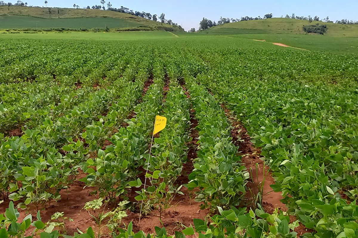
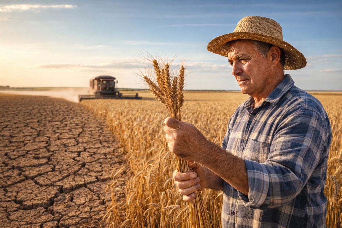
Discover How the Model Predicts Agricultural Productivity Using Satellite Images, Helping Producers Plan Their Crops Better, Forecast Harvests, and Monitor Their Growth
Agricultural productivity has gained a new ally in the skies. Researchers from Embrapa have developed a model that predicts agricultural productivity using satellite images collected daily.
According to an article published on Embrapa’s website, the idea is simple: to monitor plant growth without needing to visit the field constantly.
With this technology, it is possible to monitor crops like sugarcane and soybeans accurately and non-destructively. The results have shown accuracy of up to 89% for sugarcane and 71% for soybeans, providing more confidence for producers and the industry.
-
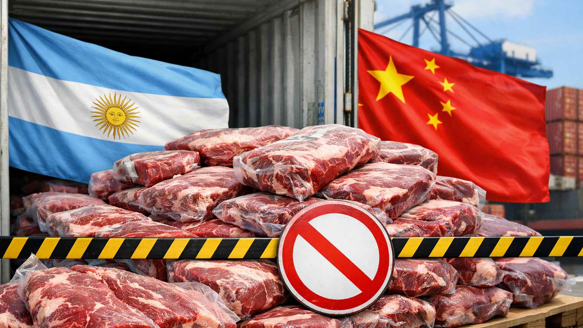
China banned the export of 22 tons of meat from Argentina.
-
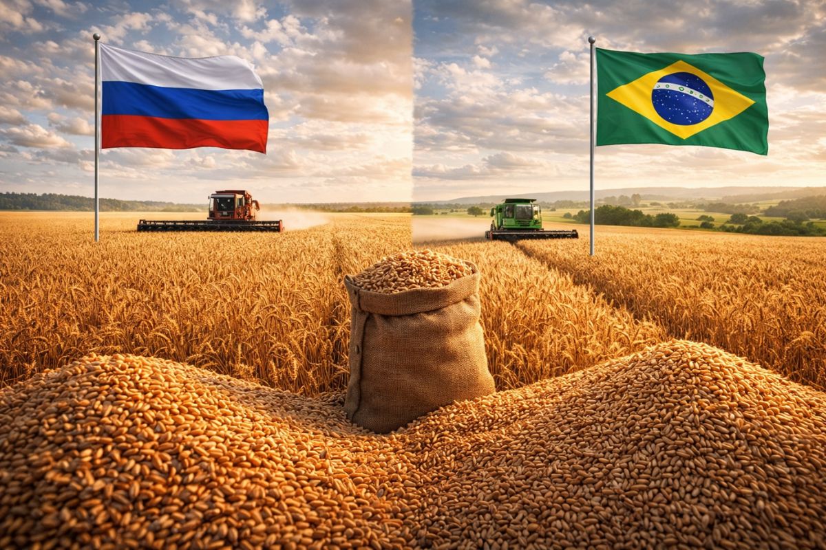
While Russia dominates the global wheat market, Brazil emerges as an unexpected competitor in the Cerrado, offering grain available in July and August when stocks in the Northern Hemisphere are at their lowest point of the year.
-
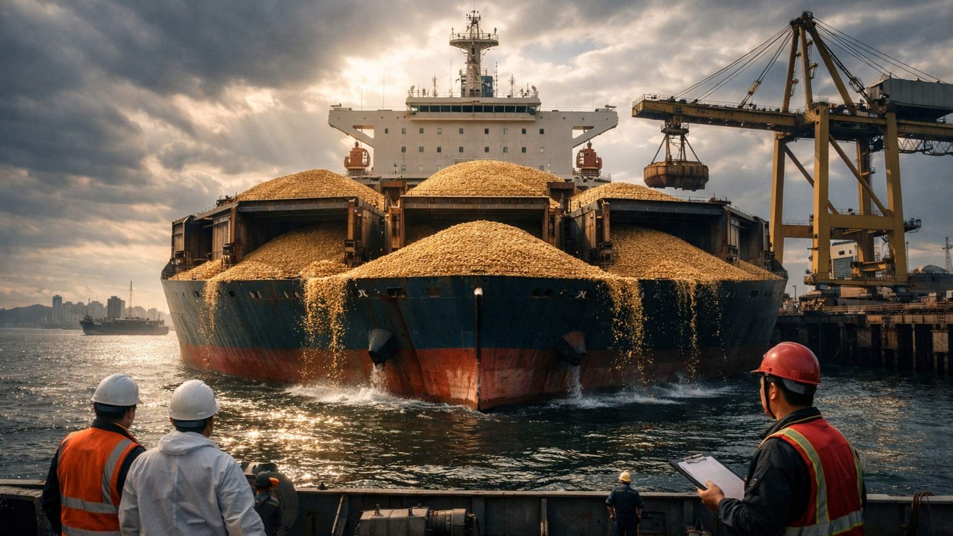
China returned almost 20 Brazilian ships with soybeans, but now everything could change: the country that buys 80% of the grain is considering relaxing regulations after impurities held up shipments of thousands of tons and caused million-dollar losses.
-
The drought of the cerrado was considered an enemy of wheat, but Brazilian scientists turned the lack of rain into a competitive advantage by creating a grain with quality that is already attracting the attention of international mills around the world.
Moreover, the method assists in validating newly launched bioinputs, such as Hydratus, which helps plants resist drought. The model combines statistics with machine learning and paves the way for more strategic planning of harvests, logistics, and marketing.
How the Model Works
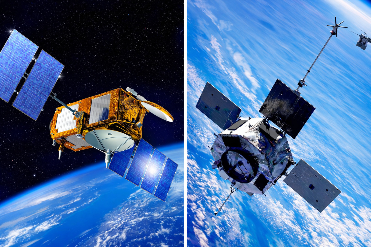
The model predicts agricultural productivity by combining daily images from the PlanetScope satellite with field data, such as production cycle, crop type, and accumulated rainfall.
Each image provides information about the vegetation index of the crop, indicating whether the plants are developing well.
For sugarcane, for example, the green normalized difference vegetation index (GNDVI) was used, which shows the chlorophyll content in the leaves and stems.
In soybeans, the enhanced vegetation index (EVI2) was used, which observes biomass and plant structure.
The model integrates this data with statistical calculations and machine learning.
In the case of sugarcane, the determination coefficient reached 0.89, meaning that the prediction was very close to the actual productivity observed in the field.
In soybeans, the correlation index was 0.71, considered satisfactory given the different behavior of this crop.
The use of these indices allows the producer to monitor the crop objectively and know exactly when to intervene, without relying solely on visual observations or manual estimates.
Applications in Sugarcane
Sugarcane was the first crop tested with the model. The work was done in partnership with the Sugarcane Planters Cooperative of São Paulo State (Coplacana) and funded by Finep.
Over three years, two harvests were monitored with daily images from PlanetScope. Researchers found that the relationship between the sugarcane canopy (the part of the plant made up of leaves and stems) and productivity is almost direct, helping to increase the accuracy of the prediction.
The model provides a reliable forecast for each plot of land, allowing producers to plan harvests and logistics better.
With the data, it is possible to anticipate negotiations and make strategic decisions regarding harvest marketing.
According to researcher João Antunes, the methodology reduces the subjectivity of crop yield prediction and enables a broader assessment, essential in a country with such extensive agricultural areas.
Additionally, the tool aids in assessing new agricultural products. One example is the bioinput Hydratus, which increases sugarcane’s resistance to drought.
With satellite monitoring, the effects of the product can be observed without harming the plants, making the testing process faster and more efficient.
Applications in Soybeans
Following the positive results in sugarcane, the team applied the same methodology to soybeans. The goal was to validate the use of the bio-stimulant Hydratus, which protects the plant from drought and stimulates growth.
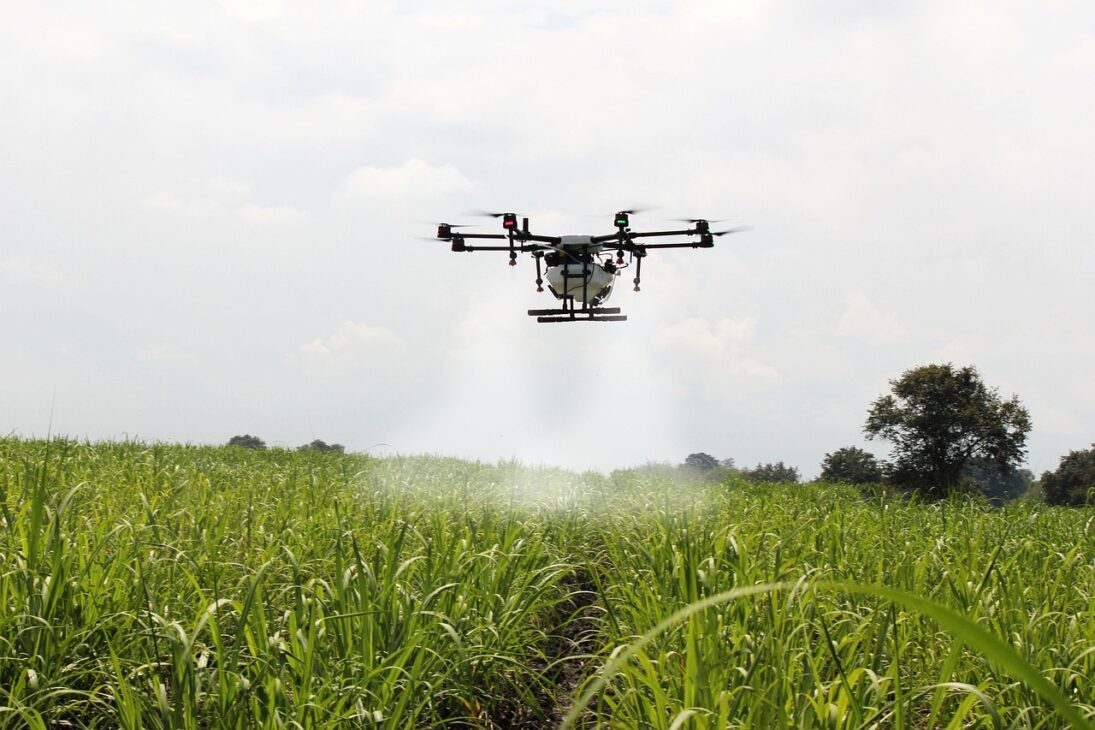
The research was conducted in partnership with Embrapa Maize and Sorghum and the company Bioma, monitoring three areas. Two areas were monitored with satellite images and one with drone images.
The prediction of agricultural productivity in soybeans achieved 71% accuracy, which is considered good for this type of crop.
The difference in accuracy compared to sugarcane occurs because the product of soybeans is the grain, which does not have a direct relationship with the plant’s canopy.
Even so, the model allows for identifying productivity variations among different treatments of the bio-stimulant, providing valuable information for farmer planning and product performance studies.
The use of the EVI2 index helps measure the growth and biomass of soybeans, making it possible to evaluate the effect of interventions in the field in real-time.
This approach demonstrates how satellite images can be a practical tool for modern agriculture, providing concrete data that aids decision-making without hindering plant development.
Machine Learning and Statistics
The model predicts agricultural productivity by combining statistical methods and machine learning. For now, the statistical analysis proves more precise because the number of samples is still small.
Between 500 and 600 samples were used to train the algorithm, an amount considered limited for machine learning.
Eduardo Speranza, an analyst at Embrapa, explains that with more samples, the machine learning method has the potential to become even more efficient.
Despite this, the integration of these approaches allows for detailed monitoring of crops and economic evaluation of cultures.
The technique provides real-time data on plant performance, without the need for constant physical intervention in the field.
This methodology also contributes to a more sustainable production strategy, as it helps identify problems and optimize resources like water and fertilizers, without waste.
Additionally, the model opens up opportunities for future improvements. Researchers plan to include new variables, such as temperature, soil texture, and water availability, to further increase the accuracy of predictions.
With these adjustments, the tool could be used by producers, the industry, and even public agencies to predict harvests and guide agricultural policies more objectively.


Seja o primeiro a reagir!