 Portuguese
  English
  Spanish
Radar reveals giant river buried under the Sahara that crossed thousands of kilometers when the desert was green and connected to the ocean.
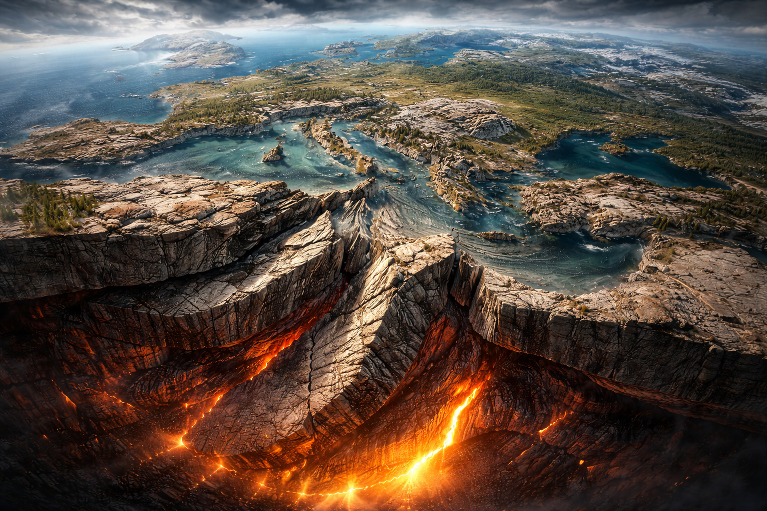
In 2015, a study published in the journal Nature Communications brought to light one of the most impressive discoveries in modern geography: the identification of a gigantic buried river system under the western Sahara. Using orbital radar images, researchers managed to map an extensive paleodrainage buried under the aeolian sediments of the Mauritania coast, revealing direct evidence of the existence of an ancient river associated with the Tamanrasset system.
According to the study “African humid periods triggered the reactivation of a large river system in Western Sahara,” published in Nature Communications, this identified paleochannel is about 520 kilometers long in its mapped coastal stretch and reinforces the hypothesis that the ancient river system crossed northwest Africa and contributed to the transport of sediments to the Atlantic during humid periods of the past.
This system was not a smaller or isolated watercourse, but part of a large-scale hydrographic network. The article itself states that the so-called Tamanrasset river valley had already been described as a vast ancient hydrographic system that, in terms of basin extent, would be among the largest in the current world.
-
Scientists have captured something never seen in space: newly born stars are creating gigantic rings of light a thousand times larger than the distance between the Earth and the Sun, and this changes everything we knew about stellar birth.

-
Geologists find traces of a continent that disappeared 155 million years ago after separating from Australia and reveal that it did not sink, but broke into fragments scattered across Southeast Asia.
-
Samsung launches cordless vertical vacuum cleaner with up to 400W of suction and relies on AI to automatically recognize corners, carpets, and different surfaces.

-
The lost continent beneath Europe: separated from North Africa about 240 million years ago, comparable in size to Greenland, Greater Adria was crushed over 40 million years and left geological marks from the Alps to the Balkans.

The discovery not only changes the perception of the Sahara but also shows how entire landscapes can disappear from the visible surface yet remain preserved underground.
The Sahara was not always a desert and once harbored giant rivers
Currently, the Sahara occupies an area of about 9 million km², being considered the largest hot desert in the world. However, this arid condition is relatively recent in geological terms.
Between approximately 11,000 and 5,000 years ago, during the so-called African Humid Period, the climate of the region was radically different. During this interval, northern Africa experienced a regime of intense rainfall caused by changes in the tilt of the Earth’s axis and the intensity of African monsoons.
What is now a sea of sand was once a territory covered by rivers, lakes, and extensive vegetation, with characteristics similar to today’s savannas. Evidence of this period includes:
- fossils of animals typical of wet environments
- archaeological records of human populations
- rock paintings depicting abundant fauna
This scenario allowed for the existence of large-scale river systems, such as the Tamanrasset, which played a central role in draining the region.
How satellite radar managed to reveal an invisible river
The discovery of the Tamanrasset was only possible thanks to the use of orbital radar technology, an essential tool for exploring environments covered by sediments.
Unlike visible light, radar has the ability to penetrate layers of dry sand and reveal structures buried underground. This feature allows for the mapping of ancient channels that have remained preserved even after thousands of years of burial.
Scientists used data from sensors that capture variations in soil density and texture. By analyzing this information, it was possible to identify typical patterns of river drainage, such as:
- branched channels
- main beds
- confluence areas
These structures form an unmistakable geological signature of ancient river systems, allowing for the reconstruction of the courses of rivers that no longer exist on the surface.
The colossal scale of the Tamanrasset river system
The Tamanrasset was not an ordinary river. It was part of a river system of continental proportions. Studies indicate that its watershed covered a vast area of northwest Africa, draining regions that are now completely arid. Its length and water volume were comparable to those of large modern rivers, reinforcing the idea that the Sahara was once an extremely different environment.
This system likely:
- transported large volumes of sediments
- fed complex ecosystems
- connected the interior of the continent to the ocean
The mouth into the Atlantic also indicates that the river had a continuous and significant flow, capable of shaping the coastal geography.
Evidence on the ocean floor confirms the existence of the river
One of the strongest pieces of evidence for the existence of the Tamanrasset was found on the floor of the Atlantic Ocean. Researchers identified large-scale sediment deposits off the west coast of Africa, consistent with the discharge of a large river system. These deposits include:
- submarine fans
- submerged channels
- layers of sediments transported by freshwater

These formations could not be explained by the current climate of the Sahara, indicating that, in the past, a large river fed the ocean in this region. The connection between terrestrial and marine data was crucial to validate the existence of the system.
The climatic collapse that transformed the Sahara
The disappearance of the Tamanrasset is directly linked to natural climate changes that occurred over thousands of years.
With the end of the African Humid Period, the rainfall regime began to weaken. This process was caused by changes in the Earth’s orbit and the distribution of solar energy, which reduced the intensity of the monsoons.
The consequence was a gradual transition from a humid environment to an arid climate, leading to the reduction of rivers, the disappearance of vegetation, and the expansion of dunes.
This process was not abrupt but occurred over millennia, until the Sahara took on the form we know today.
Impacts on human occupation and population migration
During the period when the Sahara was green, the region was habitable and sustained human communities. With the progressive desertification, these populations were forced to migrate in search of water and resources. This movement had a direct impact on the formation of ancient civilizations, especially along the Nile valley. Archaeological records indicate that:
- communities abandoned previously fertile areas
- migration routes were altered
- new regions began to concentrate populations
This environmental transformation profoundly influenced human history on the African continent.
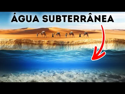
Fossil aquifers: the water that still remains hidden
Despite the current aridity, the Sahara still holds large reserves of groundwater. These aquifers are remnants of wetter periods and are often associated with ancient river systems.
The Tamanrasset may have contributed to the formation of these reservoirs, which today remain isolated beneath the surface.
These reserves:
- are used in some regions
- have extremely slow recharge rates
- represent strategic resources
However, their use requires caution, as they do not renew at the same rate they are exploited.
Scientific importance of the discovery for global climate
The identification of the Tamanrasset has important implications for the study of the Earth’s climate. It demonstrates that regions considered permanently arid can, in fact, undergo cycles of transformation over geological time.
This type of evidence helps calibrate climate models and understand the dynamics of environmental changes.
Furthermore, the discovery reinforces that:
- the Earth’s climate is highly dynamic
- small orbital variations can generate large impacts
- ecosystems can emerge and disappear on relatively short timescales
The Sahara as a geological archive of disappeared worlds
The Sahara desert functions as a true archive of the planet’s history. Beneath its sands are preserved structures that record:
- ancient river systems
- climate changes
- environmental transformations

Each new discovery reveals that the current landscape is just a temporary phase, the result of continuous processes that shape the Earth’s surface.
A giant river buried under the largest desert in the world
The revelation of the Tamanrasset river system shows that the Sahara was not always a hostile and arid environment. On the contrary, it was once a region rich in water, life, and biodiversity, sustained by rivers of continental scale.
By identifying a gigantic river hidden beneath kilometers of sand, science exposes a radically different past from the present, showing that entire landscapes can disappear without leaving visible traces.
This discovery broadens the understanding of the planet’s dynamics and reinforces that, even in seemingly static regions, there are still remnants of lost worlds waiting to be revealed.


Seja o primeiro a reagir!