 Portuguese
  English
  Spanish
 As they transport data over thousands of kilometers, submarine cables begin to identify seismic tremors, track water movement, and capture signals from the ocean floor, opening a new front of monitoring that changes strategic understanding.
The submarine cables used to transmit the internet have ceased to be merely communication channels between continents. In various stretches of the ocean, this infrastructure has also started to capture signals from the marine environment and transform vibrations into scientific information.
In practice, this opens a new front for monitoring earthquakes, tracking water movements, and observing changes on the seabed without solely relying on the installation of new large-scale equipment. The most direct effect is to enhance surveillance in oceanic regions where sensors are lacking.
Existing technology begins to read the ocean
The main change lies in using the optical fiber itself as a sensor. Instead of only functioning as a means of data transmission, the cable now records small physical variations caused by waves, vibrations, and displacements along the submerged path.
-
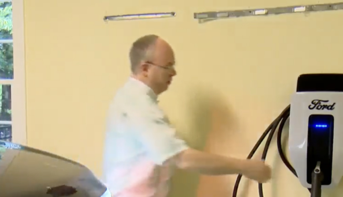
After so many blackouts, a family transforms an electric truck into a power source for their home and shows how a 100 kWh battery can keep everything running for days.
-
Ukraine is already testing, and China has already shown the world, and now the Brazilian Army is developing its own swarm of autonomous drones with artificial intelligence that share data in real time and operate without centralized control, uniting military and universities.

-
Few people know, but the most nutritious part of wheat has been discarded for decades to produce white flour, and the “polyamine” spermidine activates cellular cleaning, reduces mortality, and may slow down memory loss.

-
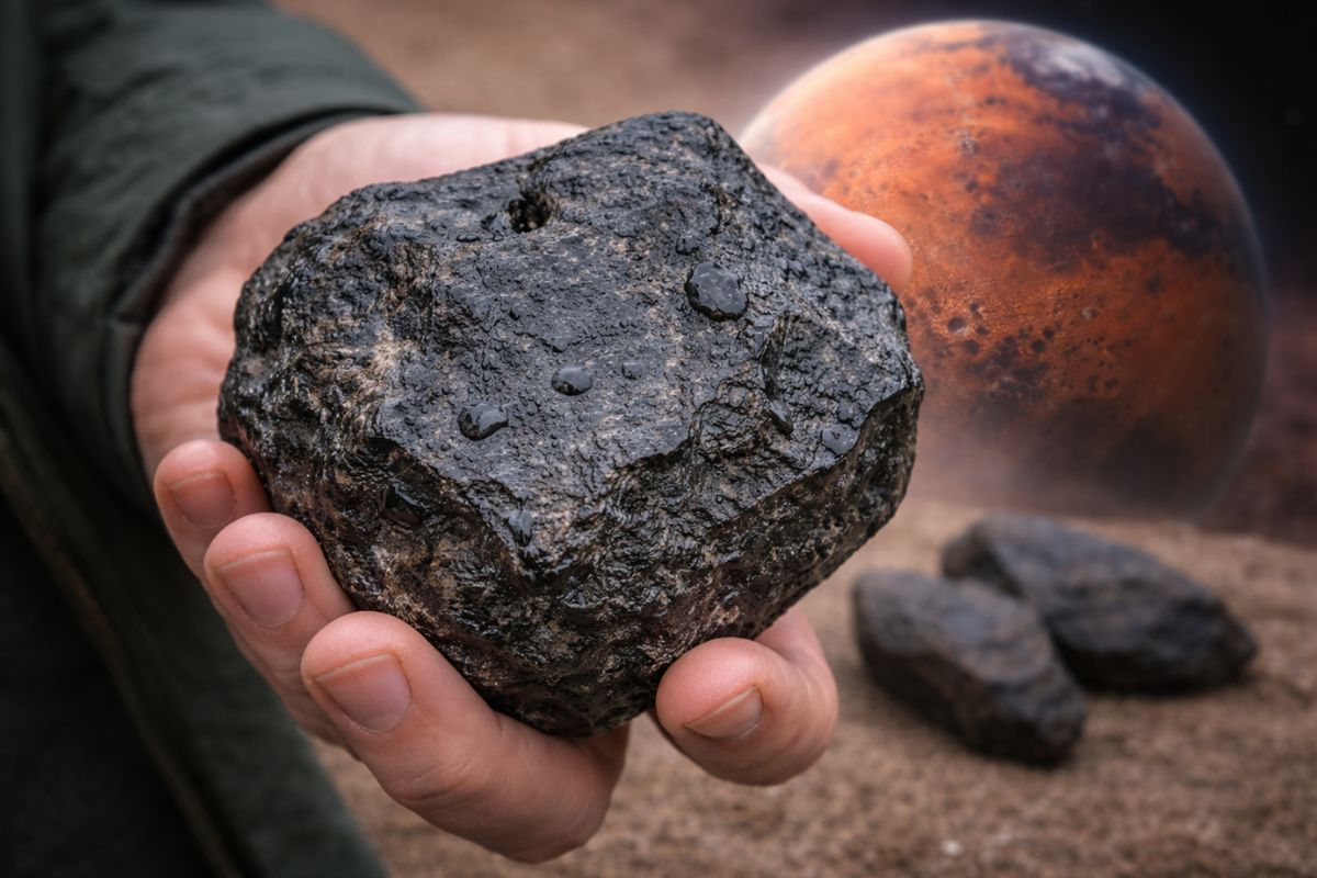
NASA and China issued a joint alert because a 60-meter rock could hit the Moon, and the impact could generate a storm of debris in space that would knock out the internet, satellites, and GPS worldwide for years.

This type of reading allows for capturing signals that come from the sea and the subsurface. Thus, a structure created to deliver the internet also helps to establish a kind of continuous observation network in deep and hard-to-reach areas.

The Mediterranean showed progress in earthquake detection
Tests conducted on cables in the Mediterranean have already indicated a real capacity to record micro-vibrations, regional seismic movements, and even tremors that occurred at great distances. The gain lies in the density of coverage, as the cable traverses long stretches of the seabed.
In some cases, the readings were sufficient to locate signals along the path and identify anomalies associated with moderate and large earthquakes. This reinforces the potential for use in continuous monitoring and faster responses to geological events.
Ocean currents also come into the radar with active cables
In addition to earthquakes, the cables have begun to provide clues about the behavior of the sea. The movement of waves and water causes detectable changes in the fiber, allowing for inferences about the speed and direction of currents in certain scenarios.
This advancement is relevant because the ocean still has significant monitoring gaps. By utilizing the infrastructure that already crosses coastal zones and deep areas, researchers can expand the reading of marine dynamics at a lower cost than a new exclusive network.
SMART project expands pressure, temperature, and alert at the ocean floor
Amid this evolution, according to ITU, the UN agency for telecommunications and global standards, the proposal for SMART cables aims to include dedicated sensors to measure pressure, temperature, and seismic activity at the ocean floor.
This step goes beyond reading the existing fiber. The idea is to use new commercial systems with integrated sensors to enhance climate observation, improve tsunami monitoring, and expand the monitoring of physical changes on the seabed.
The ocean floor is observed with more continuity
When the cable records deformations, vibrations, and changes in the surrounding environment, it also helps to perceive transformations on the ocean floor along the route. This includes signals related to sediments, local disturbances, and physical changes in submerged areas.
This is not yet about replacing all classical methods of mapping the underwater terrain. What changes is the ability to monitor more frequently what happens exactly where these cables are already installed, creating a more constant reading of the environment.
Limits still exist, but scientific reach has grown
Not every cable delivers the same level of response. Efficiency depends on factors such as depth, position on the seabed, type of optical reading, and degree of contact of the cable with the bottom.
Even so, the advancement is considered relevant because it leverages a mesh that already exists on a global scale. Instead of starting from scratch, science begins to extract additional value from a structure that already supports part of the global data connection.
The submarine cables now occupy a strategic space that goes far beyond the internet. They help to record tremors, track signals from the ocean, and expand the observation of areas where monitoring is still scarce.
As a result, digital infrastructure gains importance in science and prevention as well. The combination of communication, environmental surveillance, and geological reading changes the way we see the ocean and repositions strategic reading.

Seja o primeiro a reagir!