 Portuguese
  English
  Spanish
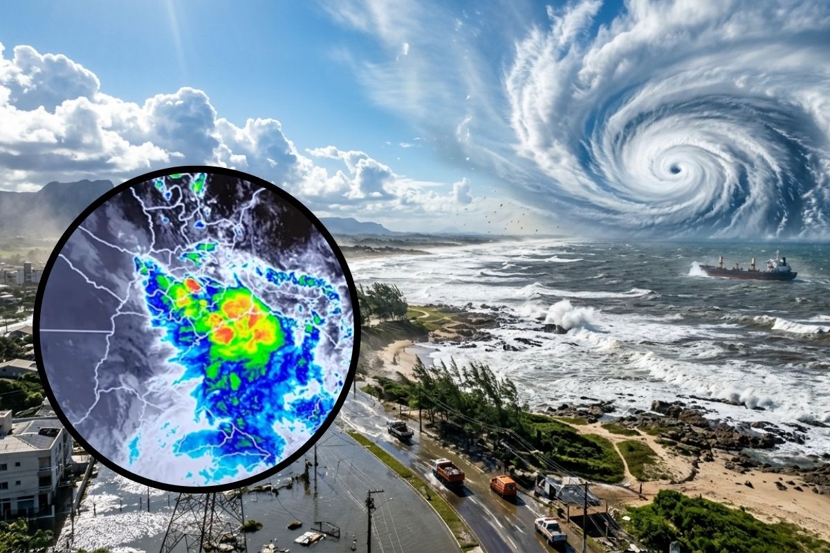
Meteorologist warns that the cyclone gains strength in the ocean, increases the wind in the South, maintains risk of flooding and may still bring surf to the gaucho coast
The rain has already accumulated high volumes in Rio Grande do Sul, and attention shifts focus because the cyclone begins to take command of the scenario in the coming hours. Meteorologist Estel Sias explains that, after a period of instability with very heavy clouds, the main risk becomes the wind associated with the cyclone.
Even with rain still affecting areas of the state, the alert is clear: the sharp drop in atmospheric pressure organizes the circulation of wind and accelerates strong gusts, with a more sensitive impact in the eastern half of RS and on the coast. The extratropical cyclone also increases the risk of power outages, falling trees, and roof damage, in addition to surf.
How much it has rained and why the situation became critical
Monitoring shows that it has rained heavily in different regions of RS in the last 24 hours. Among the reported accumulations are 117 mm in Sobradinho, 114 mm in Lagoa Bonita do Sul, 90 mm in Santa Maria, 72 mm in Alegrete, 71 mm in Quaraí, 67 mm in São Borja, in addition to Itaqui with over 100 mm, Santo Ângelo with 80 mm, and Tupanciretã with 105 mm. In areas between Vale do Rio Pardo and Vale do Taquari, the volume mentioned is around 50 mm.
-
Dubai places robots on the front line of firefighting with jets of 2,400 liters per minute and a range of up to 60 meters; these machines take on extreme risk zones and mark the arrival of artificial intelligence in the most dangerous physical work in the world.

-
The Brazilian Air Force brings together 13 countries and over 1,200 military personnel in Campo Grande for the largest multinational natural disaster response exercise ever held in Brazil, featuring simulations of forest fires and high-complexity aerial rescues.

-
Sony is preparing the best video game in history with the PS6 expected in 2027, a native handheld running current games, a PlayGo system similar to Smart Delivery, savings of up to 70% in storage, and a new architecture based on the unified SDK 13.

-
The day when 1,825 mm of rain fell in 24 hours: a world record recognized by the WMO on Réunion Island shows how tropical cyclones and extreme terrain can produce absurd amounts of precipitation.

These data are attributed to measurements from institutions with rain gauges and meteorological stations, including Simagro, Inmet, and Semade, as well as private stations in various municipalities.
The reading is that the environment favored clouds with significant vertical development, capable of producing heavy rain and storms.
Why now the cyclone becomes the main risk
The central explanation is the strong drop in atmospheric pressure in northern Uruguay, which forms a low-pressure area and creates a kind of “runway” of wind around this system. It is this change that causes the wind to increase, with the potential for more intense gusts over the period.
In practice, the alert indicates that, from now on, the cyclone will organize the wind persistently, especially in the eastern center of Uruguay, in the Campaign, in the Southern Zone of RS, and around Lagoa dos Patos.
The cyclone does not act only in one point, it expands the area of impact, even though the most critical strip is concentrated on the coast and in specific areas of relief.
Where the rain still worries and when the wind worsens
Even with the wind gaining prominence, the rain does not leave the scene. The highlighted forecast indicates maintenance of instability in the eastern and northern halves of RS, with the possibility of reaching Santa Catarina and part of Paraná as well.
For Greater Porto Alegre, the mentioned projection indicates that the most critical period for rainfall volume tends to occur between Tuesday night and the early hours of Wednesday morning, with risk of flooding.
Subsequently, the wind accelerates and the cyclone reinforces discomfort and the risk of damage, especially in coastal areas.
Gusts of 80 to 100 km/h and the most exposed areas

The described scenario shows strong gusts both in Uruguay and in RS. In the eastern sector of Uruguay and in the extreme southern region of Rio Grande do Sul, gusts can reach 100 km/h. In RS, there is a broad picture with gusts of 40 to 60 km/h in most of the state, in addition to points with 70 to 80 km/h.
The alert reinforces that the most sensitive stretch is in the southern gaucho coast and around the Lagoa dos Patos, with persistent wind.
There is also mention of gusts of 80 km/h on the cliffs of Serra do Mar and in high-altitude areas, such as Campos de Cima da Serra and Planalto Sul Catarinense. The cyclone expands the scope, but the most dangerous wind strip tends to be more restricted and concentrated.
Cyclone in the ocean and low pressure in the center of the system
The mentioned forecast indicates that, on Wednesday morning, the extratropical cyclone will be configured in the ocean with pressure in the center around 990 pascals, characterizing a relatively intense system.
As a result, the wind associated with the cyclone remains strong throughout the day, especially on the coast of RS, where gusts can range between 80 and 100 km/h in the most critical stretch.
There is also an important warning for those who depend on the sea: with the stronger wind in the ocean, maritime navigation is not recommended in the early hours of Wednesday.
Surf on the coast and risk of power outages
The text highlights a typical effect of this pattern: the wind around the low pressure piles water against the coast. That’s why the cyclone increases the risk of maritime surf on Wednesday and Thursday, affecting Uruguay, the gaucho coast, and possibly reaching part of the coast of Santa Catarina.
In addition to the surf, the most expected impact in RS involves falling trees, roof damage, and power outages, with a risk more concentrated in the eastern and southern gaucho regions, especially in the south of the state. Even where the wind does not reach the maximum peak, the cyclone can lower the thermal sensation and make Wednesday more hostile.
Have you ever experienced a cyclone with strong gusts like this in your city and ended up without power, or do you think this time the cyclone will have little impact?


Seja o primeiro a reagir!