 Portuguese
  English
  Spanish
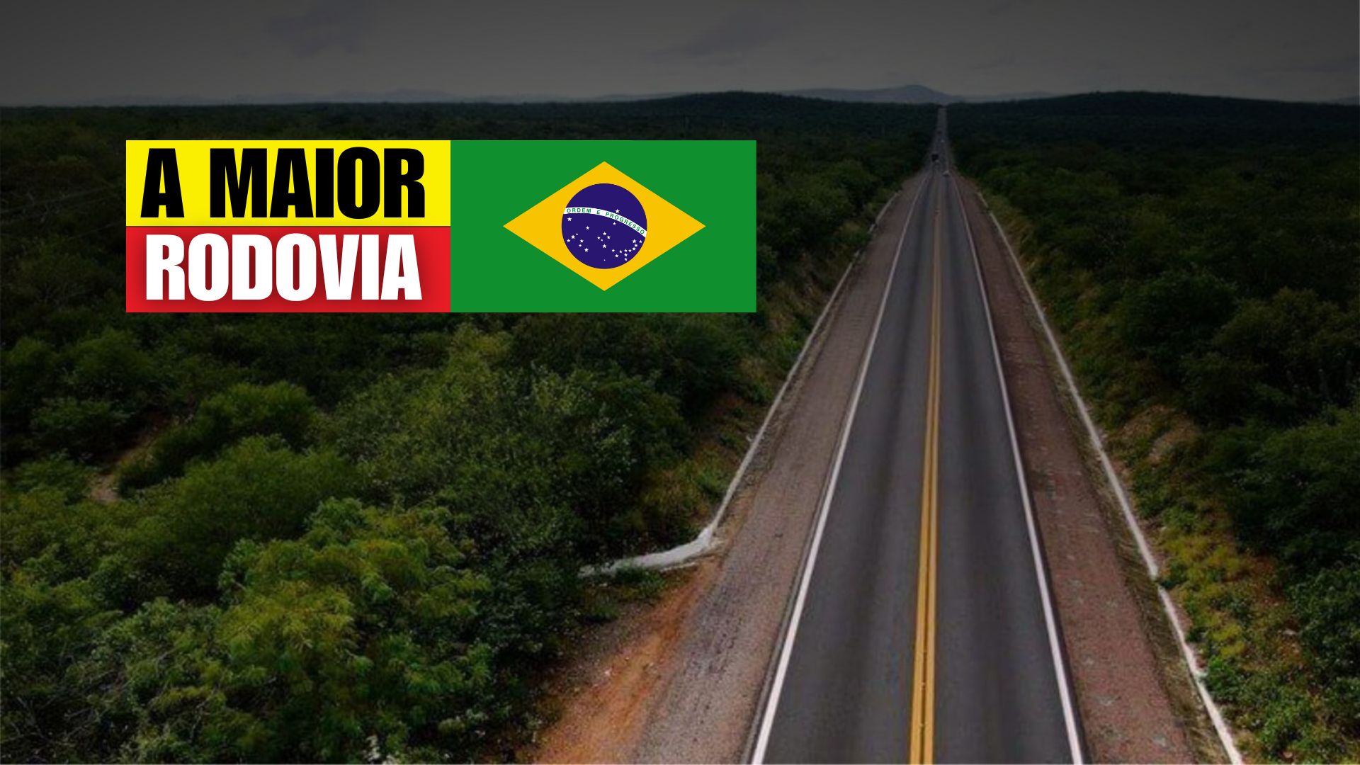
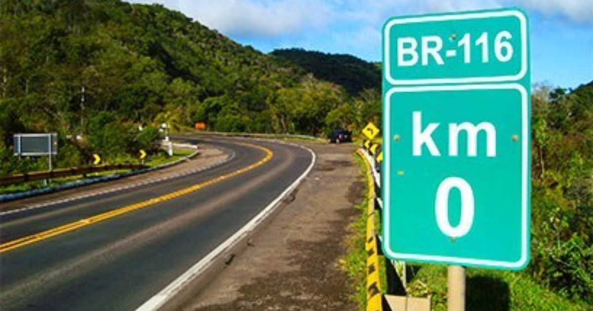
BR-116 Crosses Brazil from Fortaleza to Uruguay, Cutting Through Capitals and Communities, Supporting the Transport of Goods and Passengers, and Accumulating Nicknames That Reveal Regional Stories and Contrasts of National Infrastructure.
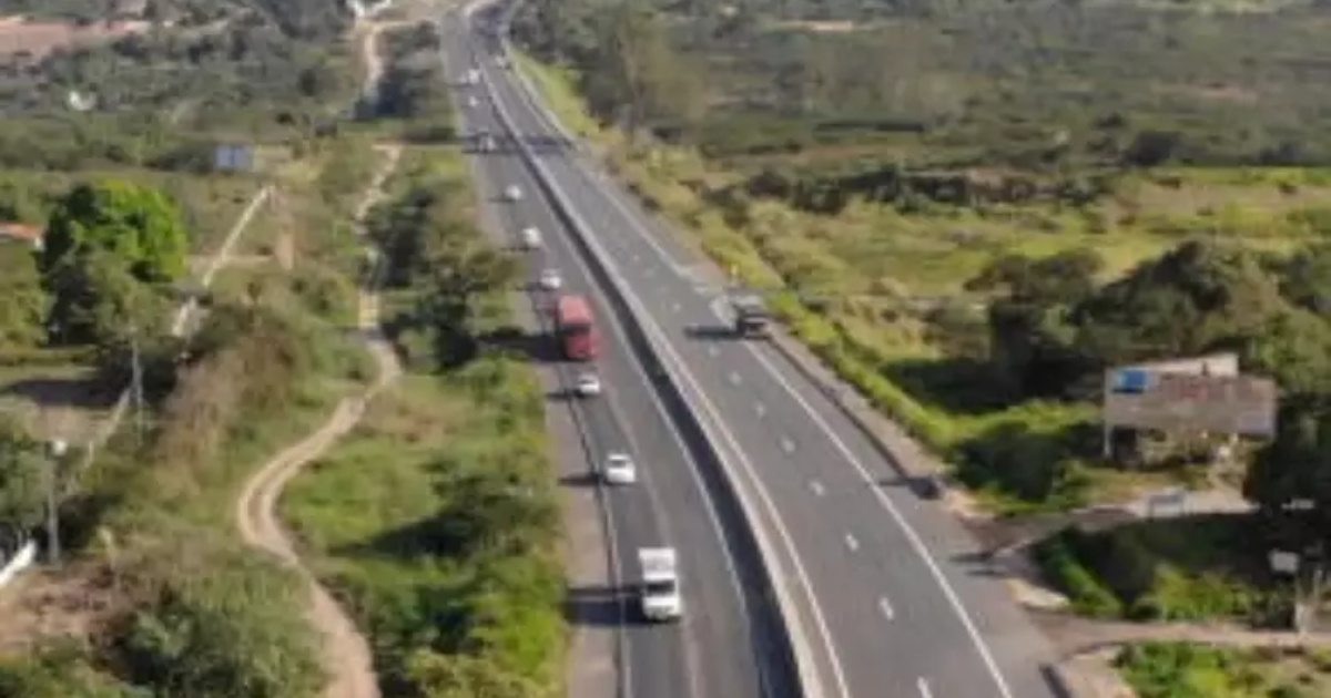
The BR-116 is the backbone of the Brazilian road modal.
With approximately 4,660 km, it cuts through 10 states and connects about 280 cities, from Fortaleza to Jaguarão, at the border with Uruguay.
Due to its reach and flow, the road supports the transport of goods and passengers on a large scale and, in more critical sections, bears the nickname “Highway of Death.”
-
(Video): Italian pilot lands plane on moving train at 120 km/h and achieves unprecedented feat in aviation, even with a narrow runway and without direct visual contact.
-
It seems to have come out of a science fiction movie: A Brazilian city where it rains almost every day, recording over 4,000 mm per year, driven by climatic factors — a direct result of its strategic location in the Amazon.

-
The water crisis that could change everything this year has already begun; it’s not just about the climate, it affects technology, raises product prices, and can halt entire companies without warning.

-
A Japanese mason transforms raw granite into small cups and handcrafted utensils, collects giant stones, cuts with precision, and impresses with detailed manufacturing and finishing.

End-to-End Route
From the coast of Ceará to the southernmost point, BR-116 cleaves the country along a continuous longitudinal axis.
The route begins in Fortaleza, crosses backlands, valleys, and plateaus, skirts metropolitan areas, and reaches the international border in Jaguarão.
Along this journey, the highway stitches together capitals, medium-sized cities, and villages, playing a direct role in the provision of services and access to health, education, and jobs.
Construction Timeline
The first segments were opened in the 1930s, linking cities in Ceará to northern Bahia.
In the following decades, the road advanced towards the Southeast.
In the 1940s, it reached Rio de Janeiro.
In the subsequent period, it reached São Paulo and consolidated the axis that now organizes traffic between the main economic regions of the country.
The current layout results from this gradual expansion, which accompanied territorial integration policies and urban and industrial growth in the post-war era.
Nicknames That Tell Regional Stories
The diversity of the route is reflected in the nomenclature adopted locally.
Between São Paulo and Rio de Janeiro, the stretch is known as Presidente Dutra.
Between Curitiba and São Paulo, it is named Régis Bittencourt.
From the Northeast towards Rio, it appears as Santos Dumont.
These names, incorporated into daily life, record regional memories and help identify operational and traffic characteristics of each segment.
Strategic Corridor for Goods and Passengers
BR-116 serves a function that exceeds mere geographical connection.
Within its rights-of-way flow agricultural products, manufactured goods, and industrial inputs that supply domestic markets and exports.
The passenger transport, in turn, maintains regular lines that connect regional hubs and metropolitan centers.
The intense movement in key areas highlights the country’s dependence on this corridor to ensure stock turnover, worker transport, and service delivery.
Integration of Capitals, Hubs, and Communities
By linking capitals such as Salvador, Belo Horizonte, Curitiba, and Porto Alegre, the highway brings together distant production chains and reduces distances between consumers and suppliers.
However, the impact is not limited to metropolises.
Small towns, rural districts, and agro-industrial centers rely on BR-116 to move crops, receive goods, and maintain the circulation of people.
In many sections, the road is the main entry point for ambulances, school buses, and essential services.
Concessions, Duplications, and Bottlenecks
Parts of BR-116 have gone under the management of private initiatives over the past few years, bringing investments in paving, signaling, and user assistance.
Nevertheless, segments with single lanes and points needing duplication work and safety improvements still persist.
The challenge involves maintaining traffic continuity on already saturated corridors, with interventions that reduce accidents and enhance fluidity, without interrupting daily operations.
Why BR-116 Is a Logistics Asset
As the largest paved highway in the country, BR-116 supports an interconnected transport network that serves both urban and rural areas.
The integration with other federal and state roads maximizes its reach and provides predictability for the transport of time-sensitive goods.
The result translates to competitiveness: reducing travel times and operational costs directly impacts prices, delivery times, and investment decisions throughout the corridor.
Concrete Effects in Daily Life
The logistical relevance produces immediate effects in the lives of millions of people.
For workers, the road is a route to jobs and technical courses.
For students, it means access to schools and universities in larger cities.
For families, it enables travel for medical appointments, leisure, and personal commitments.
Even when invisible to those who do not live beside the pavement, BR-116 influences the availability of goods and services on shelves and in applications.
A Simultaneous Portrait of the Country
Driving its kilometers is akin to traversing the pages of a social atlas.
In just a few days, the landscape alternates between conservation areas, dense urban belts, winding mountains, agricultural valleys, and industrial zones.
In certain stretches, the infrastructure highlights recent investments.
In others, historical deficiencies and demands for maintenance arise.
This juxtaposition of realities reveals a heterogeneous country where modernization and urgencies coexist side by side.

Road Safety and Route Planning
The frequent use of BR-116 requires planning.
Weather conditions, terrain characteristics, and heavy vehicle flow demand attention.
Scheduled stops, route reviews, and prior knowledge of critical points contribute to safer travels.
In segments with higher truck volumes, adjusting schedules and monitoring traffic reports helps reduce delays and risks.
In any scenario, caution and adherence to signaling are indispensable measures.
The Road as a Link to Development
The presence of BR-116 favors the establishment of companies, distribution centers, and support services along the route.
Restaurants, gas stations, workshops, and accommodations consolidate where there is transportation demand.
On the agricultural side, the road facilitates the arrival of inputs and the departure of production.
In cities, it shortens access to markets and expands job opportunities.
By connecting different economic scales, the highway operates as a bridge for opportunities and circulation of income.
Memory, Identity, and Future
Beyond its operational function, BR-116 constitutes the memory of those who live along its borders.
Popular names, mileage markers, and family histories accumulate in the traversed communities.
Meanwhile, the need for works, selective duplication, and continuous maintenance keeps the road central to transport planning.
The balance between fluidity, safety, and preservation of the surroundings will be decisive in sustaining its importance in the coming decades.
Covering its nearly 5,000 kilometers transforms the way the country is perceived: it is not just a road, but a moving portrait of Brazil.
What was the most memorable experience you lived or observed on any stretch of BR-116?


-

-

-

6 pessoas reagiram a isso.