 Portuguese
  English
  Spanish
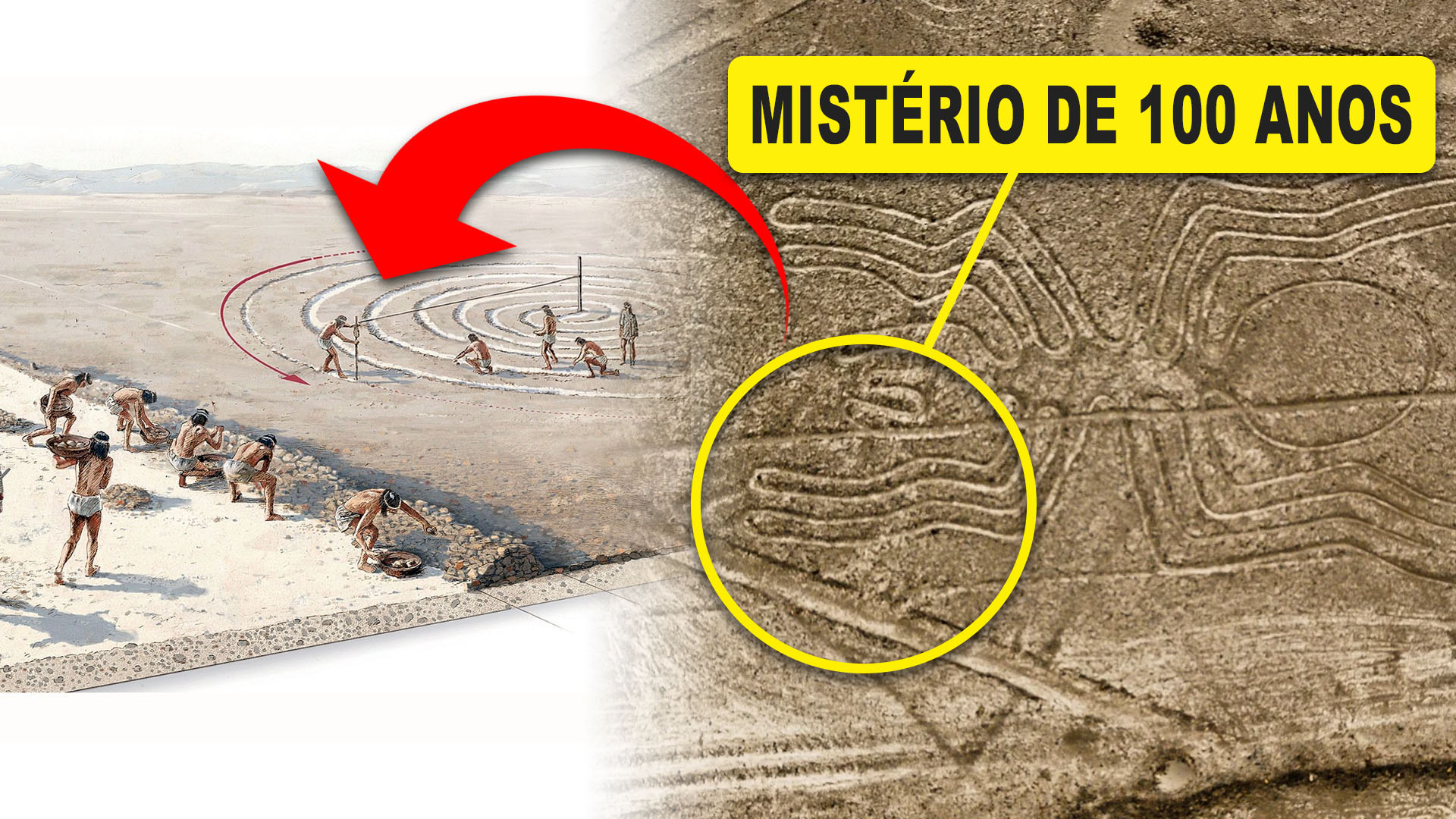
In Partnership With IBM, Researchers From Yamagata University Used Artificial Intelligence to Locate 303 New Geoglyphs in the Peruvian Desert, Accelerating in a Few Dozens of Weeks a Task That Consumed Almost a Century of Traditional Archaeology
The Enigmatic Nazca Lines, drawn in southern Peru over 1,500 years ago, have always been treated as a great archaeological mystery. The figures of animals, humans, and geometric shapes extend for dozens of kilometers and only appear in full when viewed from above.
For almost 100 years, researchers resorted to overflights, aerial photos, and satellite images to map these millennia-old drawings. Nonetheless, the number of known figurative geoglyphs hovered around 430, an impressive total, but clearly incomplete given the vastness of the desert.
This picture changed when the Nazca Institute of Yamagata University in Japan, in partnership with IBM, began using artificial intelligence to scour large-scale aerial images.
-
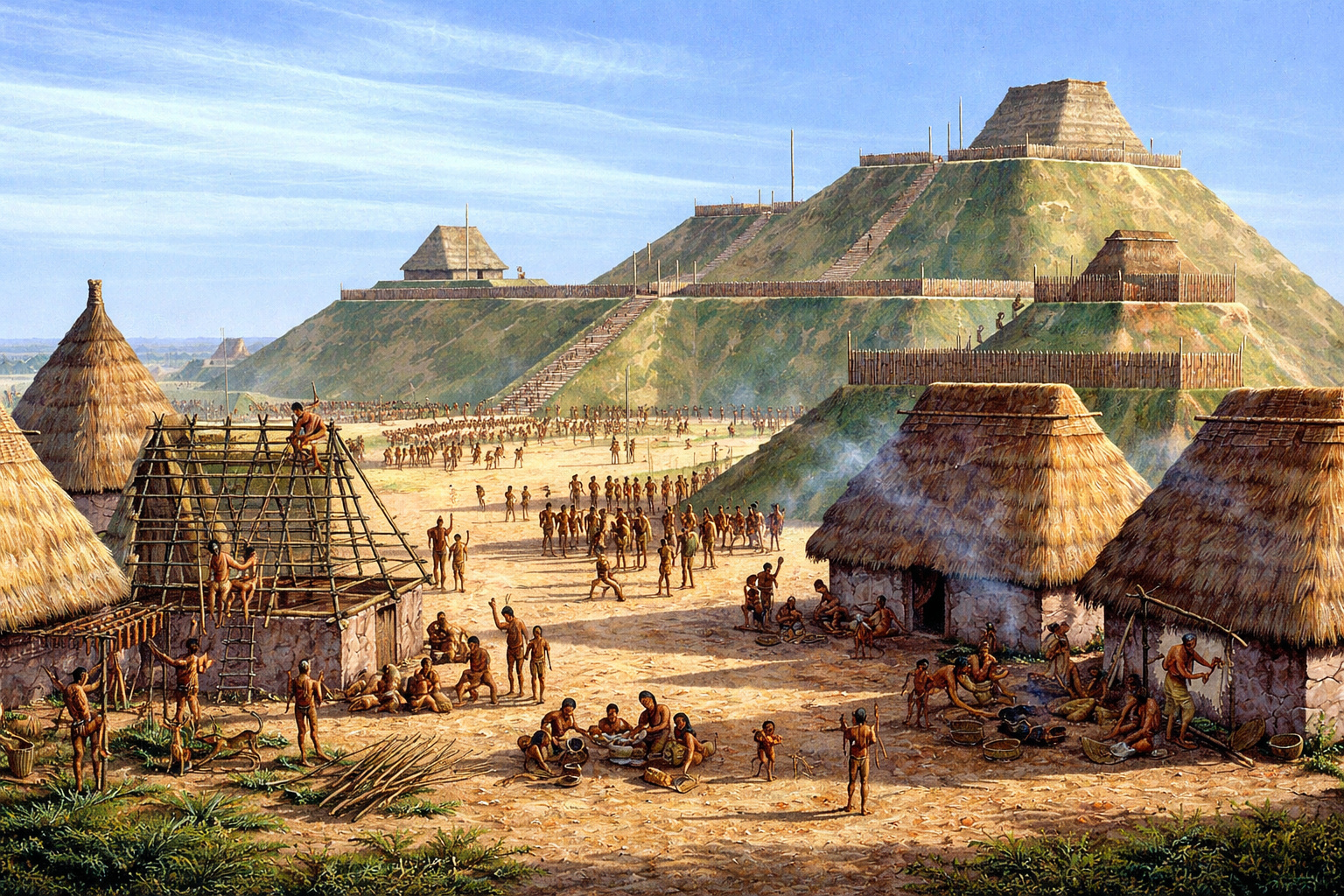
With over 14 million baskets of earth moved, an ancient North American metropolis built a monumental pyramid of 30 meters and established a city with 20,000 inhabitants nearly a thousand years ago.
-
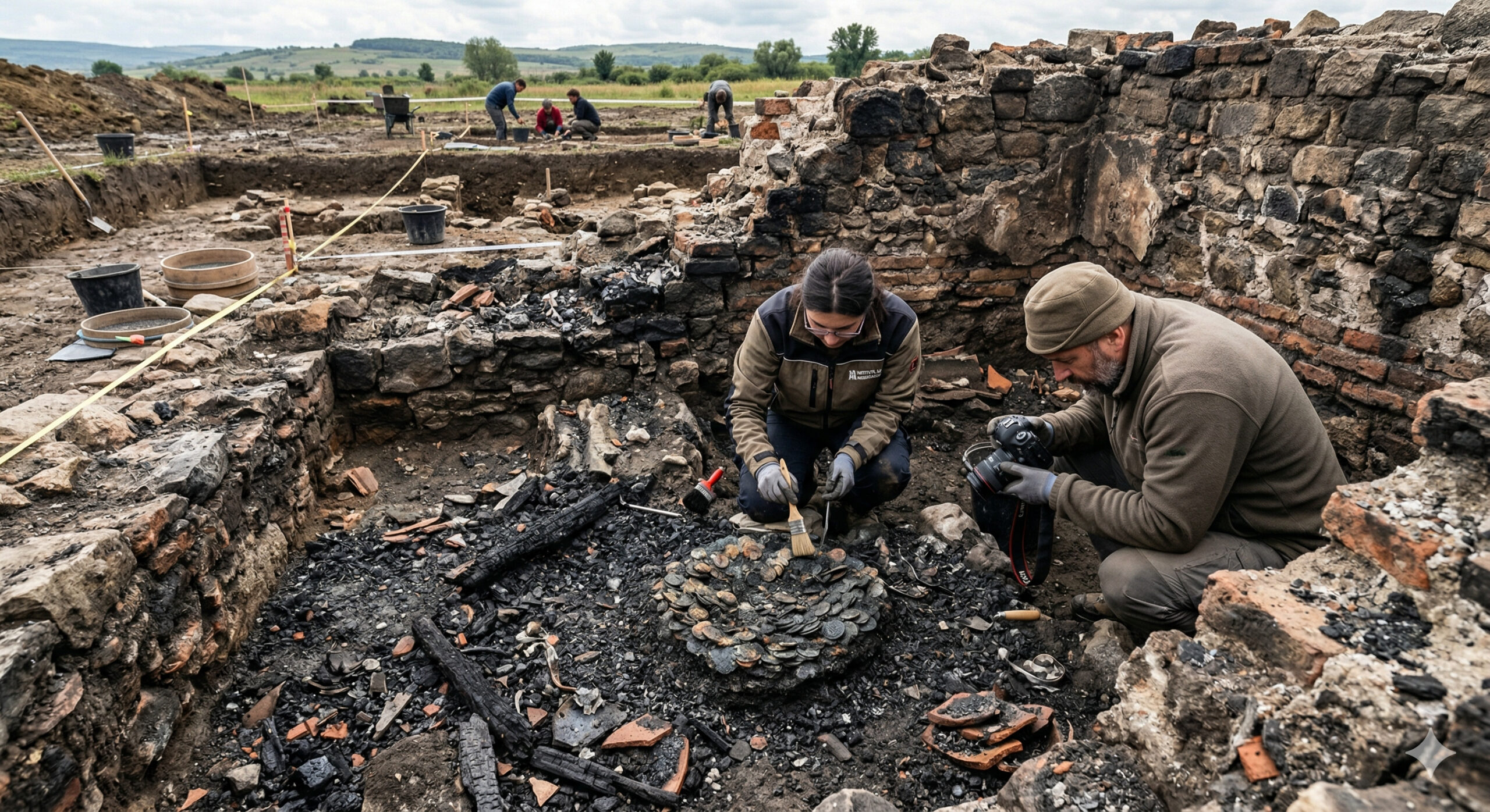
A 1,900-year-old treasure emerges from a Roman house destroyed by fire and sealed since antiquity in Romania, with coins and metals fused among the ashes.
-
The Brazilian colonial city that stopped in time and shares territory with a rocket launch base.

-
79-year-old woman challenges limits, visits 193 countries in the world after 56 years of planning and reveals the behind-the-scenes of a global journey that few have managed to accomplish.


According to an article in the journal Proceedings of the National Academy of Sciences (PNAS), the system helped locate 303 new geoglyphs in just six months of field campaigns, nearly doubling the number of known figures.
A Century of Human Searches, Six Months of Artificial Intelligence
While traditional archaeology took almost a century to map about 430 figurative geoglyphs, the AI-guided survey added 303 new drawings in half a year, something highlighted by outlets such as El País and ScienceAlert as one of the fastest advances ever seen in this field.
According to archaeologist Masato Sakai, the project leader, the priority now is to locate smaller, older, and more weathered geoglyphs, nearly invisible to the naked eye in common images.
It is precisely this type of subtle pattern, lost in the texture of the terrain, that computer vision algorithms can highlight more efficiently.
How the “Digital Detective” of the Nazca Lines Works
The model developed by Yamagata University and IBM was trained with examples of already-known geoglyphs, learning to recognize characteristic patterns of contrast, texture, and shape of these ancient drawings.
With this “visual vocabulary,” it began to automatically sweep large sets of images in search of artificial traces, and not just natural marks of the terrain.
According to the study summary and reports from science communication, the AI proved to be especially efficient in detecting so-called relief-type geoglyphs, which are smaller, older, and more discreet.
These drawings, often a few meters long, tend to blend in with displaced stones or erosion grooves, which helps explain why they escaped previous surveys conducted solely by humans.
What the 303 New Geoglyphs Reveal About Nazca Culture
With the 303 new drawings integrated into the database, scientists were able to compare motifs, sizes, and locations with more statistical robustness. The study points to two major groups: the line-type geoglyphs, larger and associated with open plains, and the relief-type geoglyphs, smaller and concentrated near ancient winding paths.
Among the new figures are parrots, felines, camelids, fish, and human figures, as well as representations interpreted as decapitated heads, a recurring theme in Andean ritual contexts. According to analyses summarized in databases like PubMed and in articles from Superinteressante, this set reinforces the hypothesis that some of the lines are linked to complex ceremonies, with offerings and possible conflicts between groups.
Despite the leap in information, the exact purpose of the Nazca Lines remains under debate. Astronomical calendars, ritual routes, pleas for rain, and representations of deities linked to fertility remain among the competing interpretations, and AI, by itself, cannot decide between them. What has changed is that researchers are now working with a broader and more detailed panorama than ever.
Powerful AI, But Archaeology Remains a Field Work
The project leaders repeat a simple mantra: AI indicates, but humans confirm. According to Yamagata University and reports from Revista Planeta, the survey involved hundreds of hours walking through the desert, using drones to generate 3D models, and cooperating with the Ministry of Culture of Peru to register and protect the new sites.
At the same time, interest is growing in using similar systems to monitor threats to the Nazca Lines, such as erosion, flooding, and infrastructure projects. The same technology that accelerates discoveries can help quickly identify damages and guide preservation policies for a UNESCO World Heritage site that remains vulnerable.
This movement, however, raises debates. Some experts see artificial intelligence in archaeology as an inevitable advance; others fear that the fascination with algorithms will overshadow cultural context and the participation of local communities. The case of Nazca, with its 100-year mystery “accelerated” in six months, makes this dilemma more visible than ever.
And you, how do you perceive the use of AI to decipher the past? Do you think this technological race helps save the memory of humanity or risks turning sacred sites into mere databases? Leave your comment and participate in the debate on how far technology should go in unraveling enigmas like the mysterious Nazca Lines.


-

-

7 pessoas reagiram a isso.