 Portuguese
  English
  Spanish
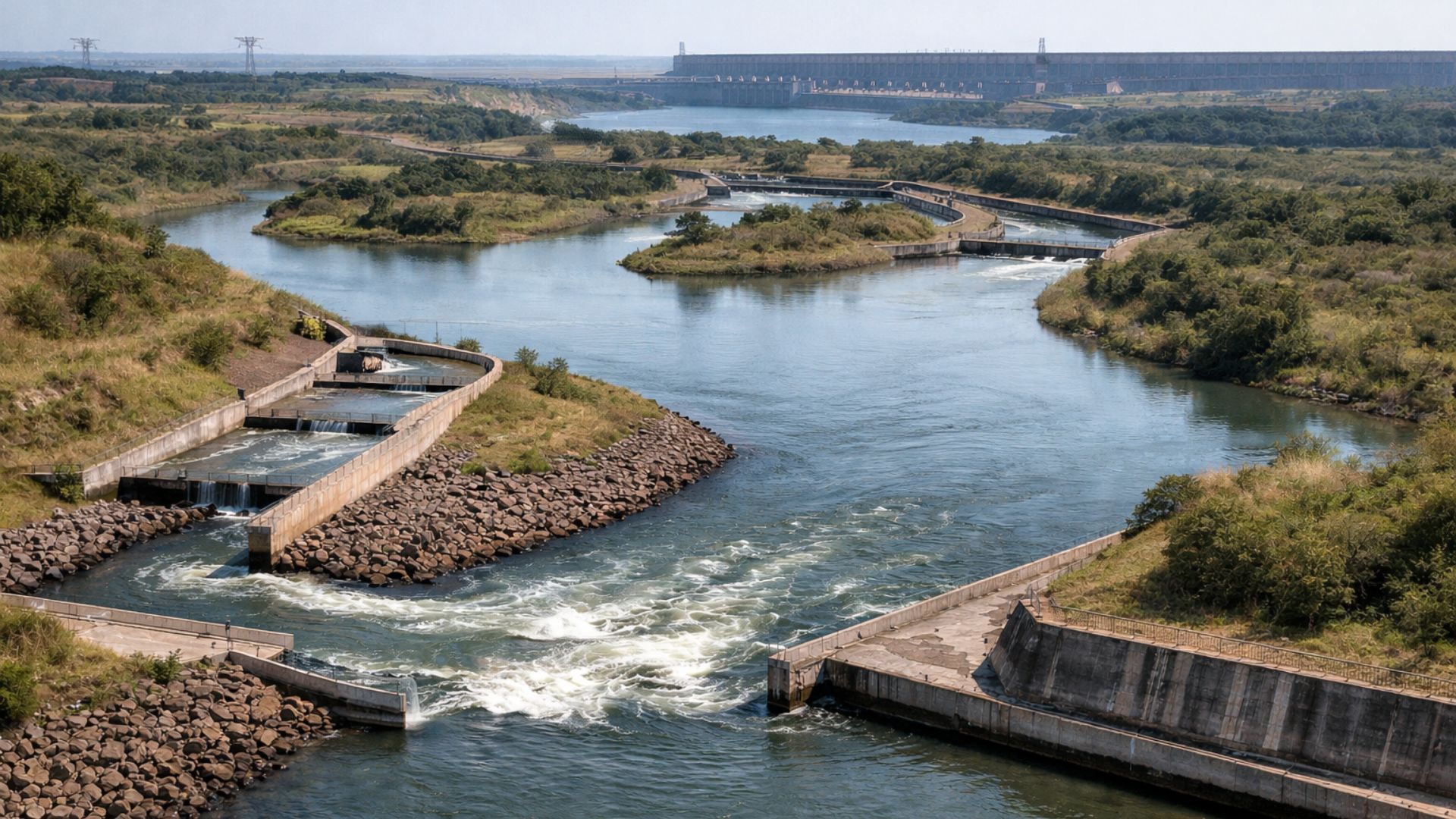


Fine Engineering Aquatic Corridor Reconnects Segments of the Paraná River Separated by the Itaipu Dam, Combining Channels, Artificial Lakes, and Strict Flow Control to Allow Fish Migration Over More Than 10 Kilometers, Overcoming Great Elevation Without Removing Them from the Water.
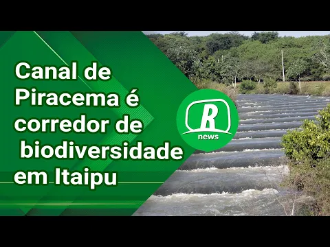
Established in the area of the Itaipu Plant, on the border between Brazil and Paraguay, an aquatic corridor with approximately 10.3 km in length was developed to allow migratory fish to overcome the blockage imposed by the dam and reach the reservoir from the Paraná River, downstream of the plant.
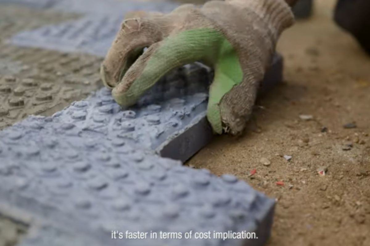
Known as the Piracema Canal, the system functions as a semi-artificial “river,” where regulated flow, changes in depth, and different hydraulic structures combine to overcome an approximate elevation of 120 meters without removing the animals from the water.
To achieve this, the adopted solution distributes energy loss along the route.
-
The sugar-energy sector advances with agricultural technology, but agricultural productivity still raises concerns.

-
The eggshell that almost everyone throws away is made up of about 95% calcium carbonate and can help enrich the soil when crushed, slowly releasing nutrients and being reused in home gardens and vegetable patches.

-
This farm in the United States does not use sunlight, does not use soil, and produces 500 times more food per square meter than traditional agriculture: the secret lies in 42,000 LEDs, hydroponics, and a system that recycles even the heat from the lamps.
-
The water that almost everyone throws away after cooking potatoes carries nutrients released during the preparation and can be reused to help in the development of plants when used correctly at the base of gardens and pots, at no additional cost and without changing the routine.


Instead of concentrating the drop at a single point, the canal dilutes the effort over kilometers of travel, maintaining speeds and depths compatible with migration during the reproductive period.
Hydraulic By-Pass to Reestablish River Connectivity
From the conception phase, the canal was designed as a diversion capable of reconnecting environments separated by the dam.
Technical studies indicate that the connection starts from the upper portion of the Itaipu Lake, around elevation 220, and reaches the Paraná River below the hydropower plant, near elevation 103, utilizing natural stretches such as the Bela Vista River and constructed segments.
This hydraulic connection addresses a recurring impact of large dams.
By interrupting migratory routes, the dam fragments fish populations and alters movements related to reproduction and feeding.
In this context, the canal provides a continuous waterway, avoiding solutions that would require removing animals from their aquatic environment.
Water Capture Defines the System Operation
The performance of the canal begins at the reservoir, where water needs to be captured accurately.
At this initial point, structures such as water intake, regulating dike, and stabilization pond ensure level control and hydraulic predictability before the flow continues down the canal.
Releasing water, in this case, involves careful technical decisions.
The project had to balance the need to create an attractive flow for fish with the risk of creating excessively strong currents.
Therefore, the structures were designed to divert up to 20 m³/s, allowing fine adjustments to the flow entering the system.
This control shows that the canal does not rely solely on the relief.
Its operation requires continuous management, with gate regulation and adaptation of flow throughout different sections.
Artificial Lakes Reduce Flow Energy and Create Transition Areas

Throughout the journey, the canal alternates narrower segments with widened areas.
These stretches function as hydraulic transition zones, where the energy of the flow is gradually dissipated and the movement becomes less demanding.
The project includes an intermediate lake and highlights a main artificial lake as a central element of the system.
At this point, the system ceases to act solely as a canal and begins to form a set of connected environments, with planned variations in section and depth.
The main lake was designed with a 14-hectare surface, a perimeter of around 1,800 meters, and an estimated volume of 250,000 cubic meters.
With depths between 3 and 9 meters, the artificial reservoir helps to dampen the runoff and reduce the aggressiveness of the flow.
These calm areas create natural pauses in the journey.
Without stabilization points of this kind, the route could turn into an excessively long corridor with high speeds.
Hydraulic Obstacles Fracture the Elevation in Aquatic Steps
In addition to the lakes, the canal uses hydraulic obstacles distributed along its route.
These structures induce gradual energy losses and help organize the flow in steeper sections.
At specific points, transverse obstacles on the bed were designed to maintain the speed of the water within limits compatible with the piracema.
The strategy is to fraction the difficulty posed by the elevation.
Thus, instead of a concentrated drop, the system divides the difference in altitude into small successive losses.

From this logic arises the “liquid ladder,” where the water itself designs the path for transposition.
This reduces intense currents that could drive away or exhaust fish before advancing.
Multiple Uses Coexist with Environmental Function
In parts of the route, the Piracema Canal incorporates characteristics of a multifunctional system.
There are studies that mention segments associated with sports uses during periods outside the reproductive migration.
These stretches require careful evaluation to avoid temporal conflicts between recreation and the movement of fauna.
One example cited in technical documents is a canal intended for canoeing, with 430 meters in length, 7.2 meters of elevation, and flow regulated by a gate.
Even in these cases, operations follow strict hydraulic parameters.
Despite this occasional overlap of uses, the environmental function remains central.
Ensuring the continuous transposition of fish between the river and the reservoir remains the project’s focus.
Engineering That Redesigns the River Dynamics
From a distance, the Piracema Canal may appear merely as a water cut alongside the reservoir.
However, observed up close, it reveals itself as an intervention that reorganizes hydraulic behavior on a landscape scale.
Capture, lakes, channels, and obstacles act in an integrated way to modulate the energy of the runoff.
This is not about replacing the original river.
The proposal seeks to redesign conditions for part of the biological dynamics to persist even after the damming.
By creating an “alternative river,” the engineering aims to restore the interrupted connectivity.
If the dam imposes a physical blockage and the canal offers a controlled path, how does this solution interfere, in practice, with the migration dynamics along the Paraná River?


Para a montante da usina.