 Portuguese
  English
  Spanish
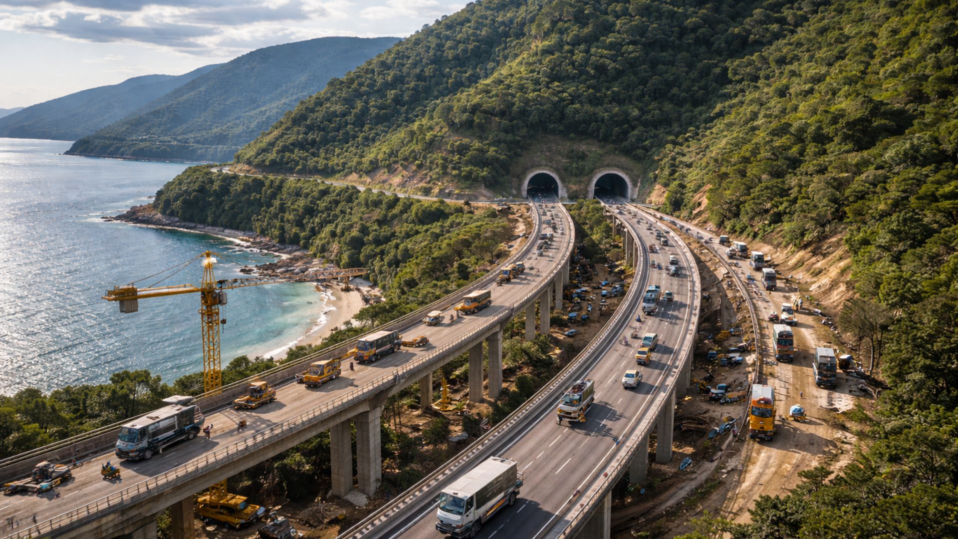


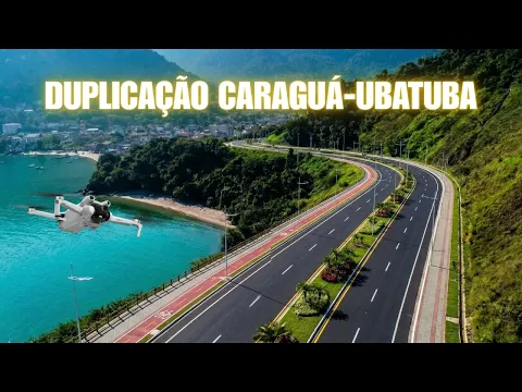
Billion-Dollar Investment Promises to Unlock the Rio-Santos in the North Coast, with Extensive Duplication, Segregated Crossings, and Tunnels in Mountain and Coastal Areas.
The Government of São Paulo announced a plan of R$ 3 billion to duplicate a stretch of the Rio-Santos Highway (SP-055) between Caraguatatuba and Ubatuba, with an estimated timeline of 36 months, in a corridor known for prolonged congestion, especially during holidays and the summer season.
The announcement, made at the end of 2024, anticipates that construction will begin in late 2025 and will occur under a public-private partnership model, as part of a strategy to increase road capacity in the North Coast following the completion of new bypasses for the Tamoios Highway.
Duplication of SP-055 and the Tamoios Factor
The logic presented by the government is that the expansion of access to the coast creates immediate pressure on the exit, and the stretch between Caraguatatuba and Ubatuba concentrates historical bottlenecks due to crossing urban areas, with local traffic mixed with tourist traffic.
-
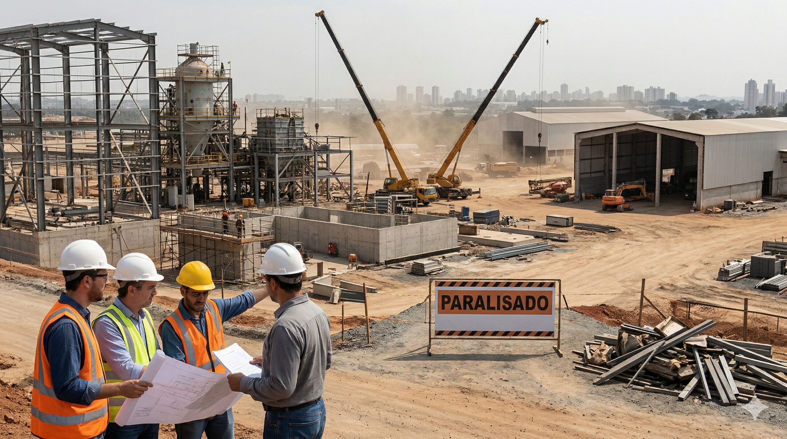
The lack of welders, electricians, and operators becomes a structural threat in 2025, with the construction industry and manufacturing already suffering from delays, cost pressures, and labor shortages in Brazil.
-
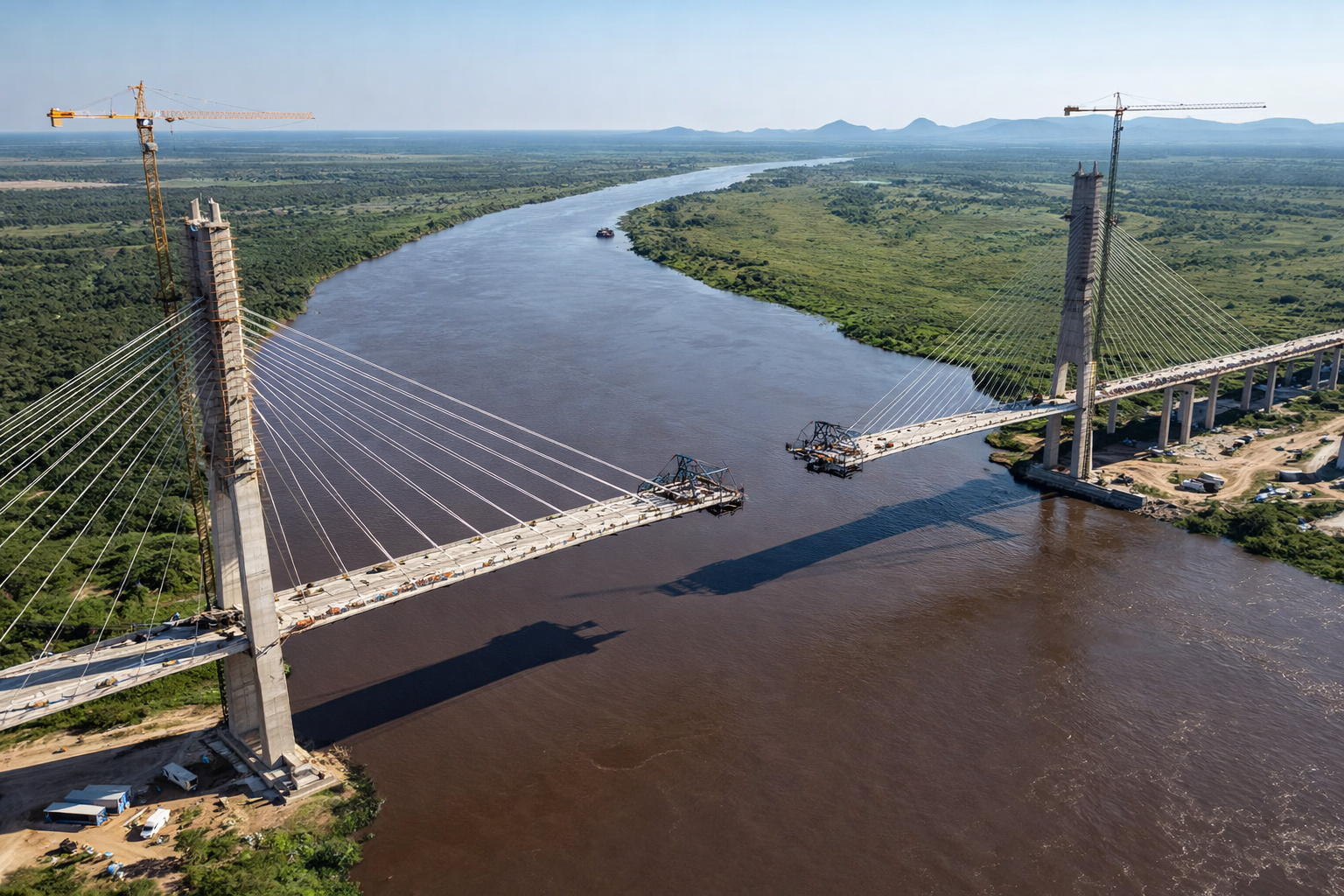
Brazil and Paraguay are just 46 meters away from a historic union on the bioceanic bridge that promises to revolutionize trade between the Atlantic and the Pacific.
-
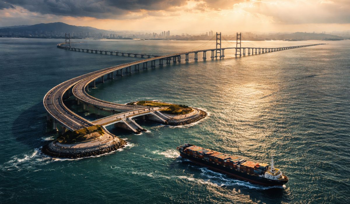
With 55 km over the sea, a cost of US$ 20 billion, and enough steel to build 60 Eiffel Towers, China’s largest project has connected Hong Kong, Zhuhai, and Macau in a colossal bridge that defies the logic of engineering.
-
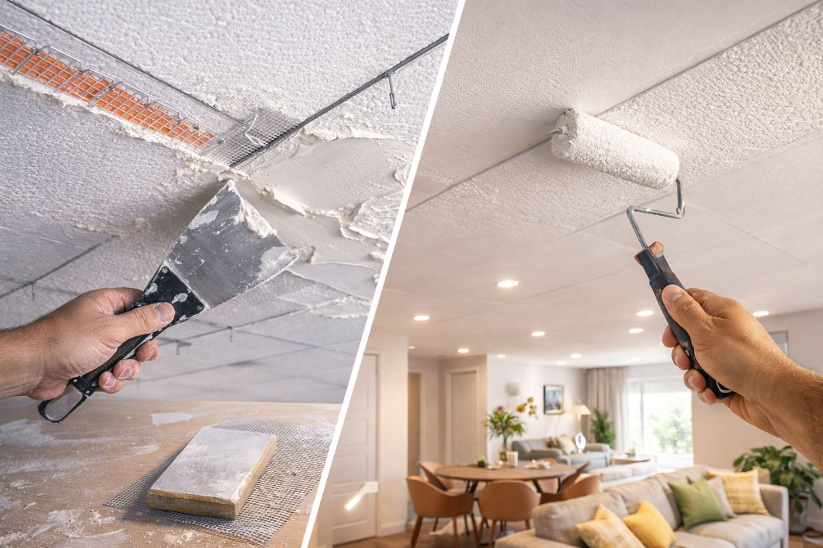
A trick with joint compound transforms a Styrofoam ceiling into a plaster-like ceiling: leveled panels, wires and mesh at the joints, sand, paint, and change the environment while spending little today.

This diagnosis also appears in materials circulating on social media and was detailed in a video by the channel “Céu da Obra,” which describes the SP-055 as a recurring point of slowness and summarizes the user experience as “an open-air parking lot.”

Rio-Santos Project: What the Government Says is in the Package
In the texts published following the announcement, the government mentions plans to duplicate about 45 kilometers between Caraguatatuba and Ubatuba, with interventions in urban stretches, forecasts for bike lanes, crossings, and solutions to reduce conflicts with pedestrians in beach areas.
Another piece of information presented as part of the design is the division of the project into three stretches, with a standard of dual lanes and urban measures in more densely populated areas, including underground crossings and landscaping to reorganize the spaces where there are currently at-grade crossings.
Road Safety and Pedestrian Crossings in the North Coast
In the video, the starting point of the layout is positioned at the end of the Northern Bypass of Tamoios, in Caraguatatuba, and the content associates the duplication with a complete reconfiguration of the axis, including curve corrections, segregated crossings, and additional lanes.
The presentation shown in the content cites 44.5 km duplicated, as well as 55 slopes with geotechnical interventions, such as retaining walls and stabilization structures, to reduce the risk of landslides in a corridor known for instability during rainy periods.
According to this material, pedestrian safety emerges as a central focus, with forecasts for 23 walkways and underpasses at beaches and neighborhoods crossed by the highway, to separate pedestrian crossings from vehicle traffic in a stretch marked by improvised crossings.
When addressing the coastal stretch, the video describes a design for a “linear park” and mentions bike lanes along the corridor, with reorganization of access to neighborhoods and beaches, as well as planned return points to eliminate left turns on the duplicated lane.
Another highlight attributed to the project is the installation of lighting along 45 km, presented as a nighttime and fog safety measure, on a route where traffic increases on weekends and visibility tends to worsen in mountain stretches.

Tunnels in the Serra do Mar and the Numbers Dispute
The same content calls the tunnels the “crown jewel” and details a main tunnel of 1,460 meters, with a service gallery and emergency exits, as well as a second tunnel referred to as a final connection, described as a way to overcome the lack of space.
Reports based on information from the 2024 announcement acknowledged, for the Praia Grande region, the forecast for a 3.5-kilometer tunnel as an alternative to reduce property acquisitions and interventions in urban areas, without detailing the same length mentioned in the video.
This discrepancy in numbers indicates that the project may have versions, layout updates, or distinct cuts depending on the study phase, and the government itself stated at the time that licensing and detailing depended on the completion of feasibility studies.
Construction with the Highway in Operation and Local Impacts
Even without the final public schedule, the operational challenge pointed out by those monitoring the works on the coast is to execute heavy interventions with the highway in operation, especially in summer, when tourist traffic adds to the daily movement of residents and workers.
In the plan described in 2024, the government also mentioned the intention to move SP-055 to a concession model with tolls in a free flow system, which may change the financing and operation structure, as well as increase maintenance obligations.
While the duplication has not yet materialized, the DER reports that it is maintaining modernization and recovery works on SP-055, with partial interdictions scheduled in Caraguatatuba and Ubatuba, and a user service structure to reduce the impact of works on traffic flow.
Transparency, Schedule, and Accountability for Executive Projects
In 2025, municipalities in the North Coast registered discussions and meetings with the state government and the Secretariat of Partnerships and Investments to discuss the progress of the project, advocating for regional integration and attempting to minimize local impacts during construction phases.
Depending on the final design, the duplication is likely to directly affect crossings, access to neighborhoods, and the use of the waterfront, and this type of intervention often triggers disputes over property acquisitions, licenses, and the balance between transit mobility and urban displacement.
With billion-dollar figures, a promised fixed timeline, and a history of slowness that has become a hallmark of the stretch, the demand for transparency now includes the publication of executive projects, compatibility of versions, and the updating of schedules in a verifiable manner.
If the promise is to end a bottleneck that hinders the coast during holidays, the lingering question is simple: when the government releases the official detailing, complete with maps and schedule, will the project confirm all the figures and dimensions that are already circulating on social media?


Final de 2025 nós já estamos em 2026 kkkk Carnaval já foi embora ,só **** **** acredita nessas mentiras ,vergonha nacional os dirigentes do nosso país