 Portuguese
  English
  Spanish
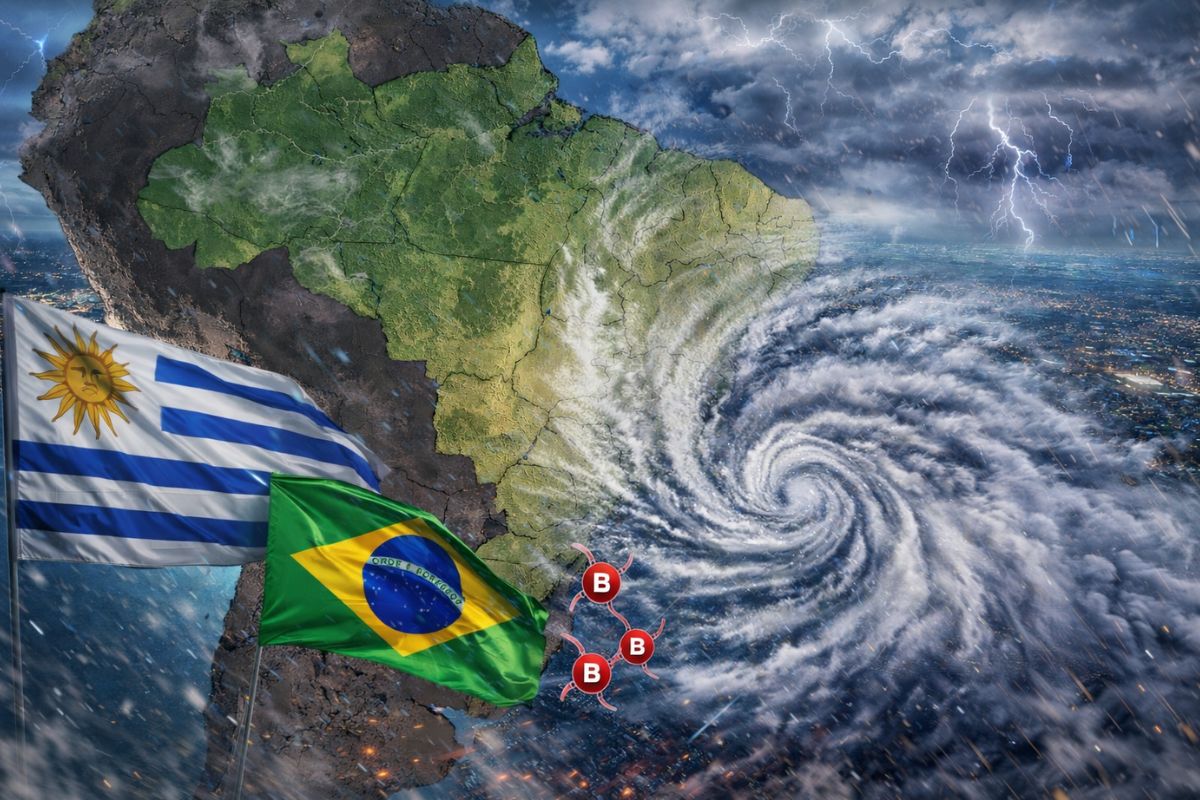
The extratropical cyclone is expected to pass through the extreme south of Brazil on Tuesday with atmospheric pressure below 1000 hectopascals and the associated cold front will spread heavy rain across all the states of the south and advance over São Paulo, Minas Gerais, Rio de Janeiro, Goiás, and the Federal District until Thursday.
A new extratropical cyclone will form between Uruguay and Rio Grande do Sul between April 6 and 7, and its effects will be felt in much of Brazil throughout the week. The Climatempo warns that the cyclone will have strong intensity, with atmospheric pressure at its center dropping below 1000 hectopascals, and will cause storms with wind gusts that can reach 90 km/h in the south of the country. The cold front associated with the system will then advance over the Southeast and the Midwest, spreading heavy rain until April 10.
The cyclone will not pass over Santa Catarina or Paraná and will not advance into the Southeast or Midwest it continues moving over the ocean, always at the height of the coast of Rio Grande do Sul. But the cold front it organizes is what will carry instability into the continent, reaching from São Paulo to the Federal District. Those living in these regions need to stay alert day by day, as the impacts change in area and intensity every 24 hours.
What is generating this cyclone and why is it forming right now

The extratropical cyclone organizes in a region where there is a brutal thermal contrast. During the Easter weekend, the air becomes very warm over northern Argentina and Paraguay while a strong mass of cold air of polar origin advances through eastern Argentina towards the ocean. It is precisely between these two air masses, one warm and the other cold, that the cyclone is born.
-
New material could change everything: it is the thickness of an atom, 200 times stronger than steel, and 100,000 times thinner than a human hair.

-
A new study published in Nature reveals that the SLIT3 protein can increase calorie burning by activating brown fat in the body, functioning as a kind of “biological switch.”

-
New signals detected by NASA suggest that the Moon may hide accessible underground cavities, after data from Mini-RF indicated a conduit over 60 meters beneath a lunar pit.

-
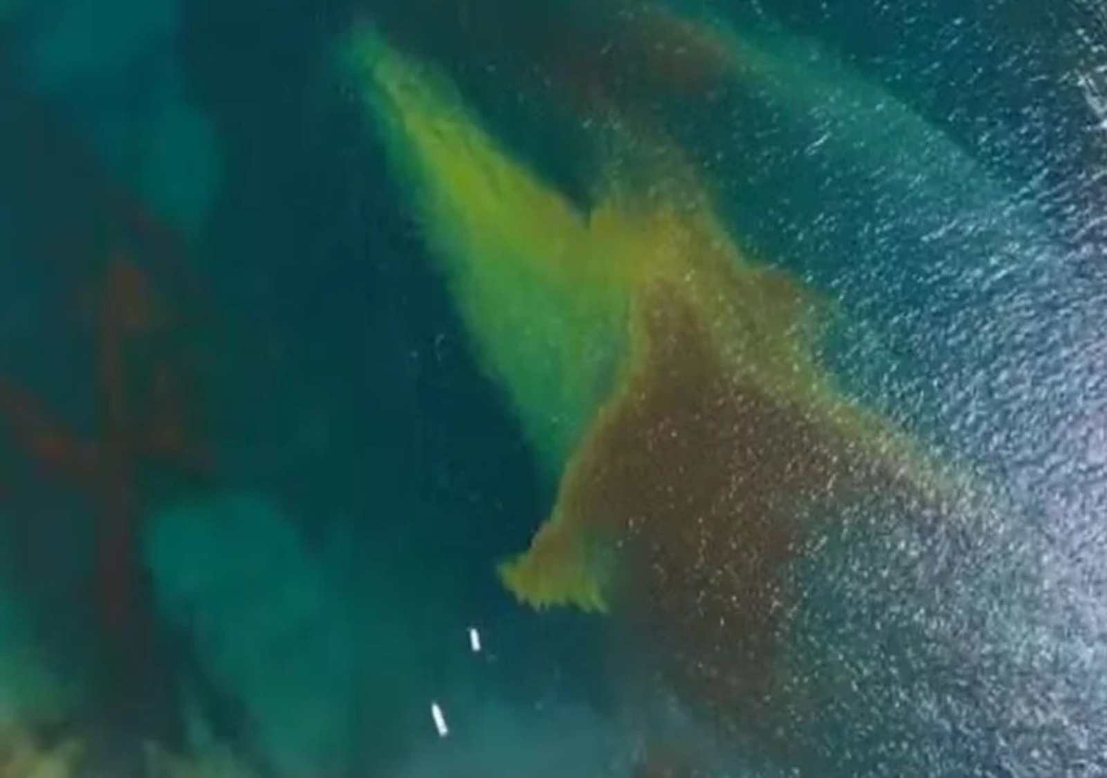
Alert in Ilhabela: reddish stain in the sea may pose risks to bathers at Curral and Veloso beaches this month.

This type of formation is classic in the meteorology of the Southern Cone. Extratropical cyclones and cold fronts always arise where air masses with opposing temperatures meet.
What makes this cyclone more concerning is its intensity: the temperature difference between the air masses will be large enough to generate a system with very low pressure, which means strong winds and a lot of atmospheric instability.
It all starts with a low-pressure area that intensifies over Paraguay and northern Argentina on Monday, April 6, and quickly evolves into an organized cyclone on Tuesday, April 7.
How the cyclone moves between April 6 and 10

On Monday, April 6, the low-pressure area begins to intensify between Paraguay and northern Argentina.
On Tuesday, April 7, this low pressure transforms into the extratropical cyclone with its center over Uruguay, which will move towards the coastline between Uruguay and Rio Grande do Sul. By Tuesday night, the cyclone will have pressure below 1000 hectopascals, an indication of strong intensity.
On Wednesday, April 8, the cyclone will already be offshore, at the height of the coast of Rio Grande do Sul, far from the continent. On Thursday, April 9, it continues to move away into open waters.
And on Friday, April 10, the cyclone will be in distant ocean waters and there will be no more risk of strong winds along the coasts of the South and Southeast. But the indirect effects, especially the cold front that the cyclone organizes, will continue to stir over the interior of Brazil even after the system moves away.
Where the cyclone will temporarily cause impacts in southern Brazil
The South is the most affected region. On April 6 and 7, the process of formation of the extratropical cyclone and the cold front will cause storms in Rio Grande do Sul, Santa Catarina, and Paraná. In Rio Grande do Sul, the storms will begin on Monday and intensify on Tuesday.
In Santa Catarina and Paraná, the worst conditions are expected mainly during the afternoon and evening of Tuesday.
Climatempo warns of the risk of heavy rains throughout the southern region. In addition to the intensity, the great danger is the wind gusts: cumulonimbus clouds will spread across the south on Tuesday and may cause gusts of up to 90 km/h.
Even outside the rain areas, gusts between 60 and 70 km/h will be common throughout the day across the interior of the region. On the coastal areas of Rio Grande do Sul and Santa Catarina, winds may reach between 60 and 80 km/h from today until Tuesday.
The advance of the cold front over the Southeast and Midwest after the cyclone
While the cyclone continues over the ocean, the associated cold front has advanced inland. On Wednesday, April 8, this cold front reaches the Southeast with force: heavy showers are expected over São Paulo, Triângulo Mineiro, southern Minas, Zona da Mata Mineira, Greater Belo Horizonte, and the central-south of Rio de Janeiro.
On Thursday, April 9, the cold front continues to move and spread heavy rain over Minas Gerais, Rio de Janeiro, and Espírito Santo, but instability decreases in São Paulo.
In the Midwest, the effects of the cyclone and the cold front will reach Mato Grosso do Sul on Tuesday, with heavy rains and the risk of moderate to strong wind gusts. Goiás, Mato Grosso, and the Federal District will be added to the list of affected areas on Wednesday and Thursday, when the cold front advances over these states.
It is a system that will confuse different regions every day, so it is important to follow daily updates.
Special attention to the wind gusts generated by the cyclone
The wind is one of the most dangerous aspects of this event. On Monday, April 6, gusts between 60 and 80 km/h are expected along the mid and southern coast of Rio Grande do Sul. In the other southern states and in Mato Grosso do Sul, gusts should range between 40 and 60 km/h on this first day.
On Tuesday, the scenario worsens. Gusts between 60 and 70 km/h will be common throughout the interior of the South, and cumulonimbus clouds may generate isolated gusts of up to 90 km/h.
Mariners should be especially cautious: offshore, gusts associated with the extratropical cyclone may exceed 100 km/h along the coast of Uruguay, in the province of Buenos Aires, and in the oceanic region of the extreme south of Brazil. The Brazilian Navy is expected to issue specific warnings for navigation.
On Wednesday, even with the cyclone already in the ocean, the entire southern coast will still experience strong winds and very rough seas.
The winds will only lose significant strength starting Thursday, when gusts should not exceed 65 km/h along the coasts of the South and Southeast.
Are you in the impact area of this cyclone? How are you preparing? Let us know in the comments and share with those who need to stay alert.


Seja o primeiro a reagir!