 Portuguese
  English
  Spanish
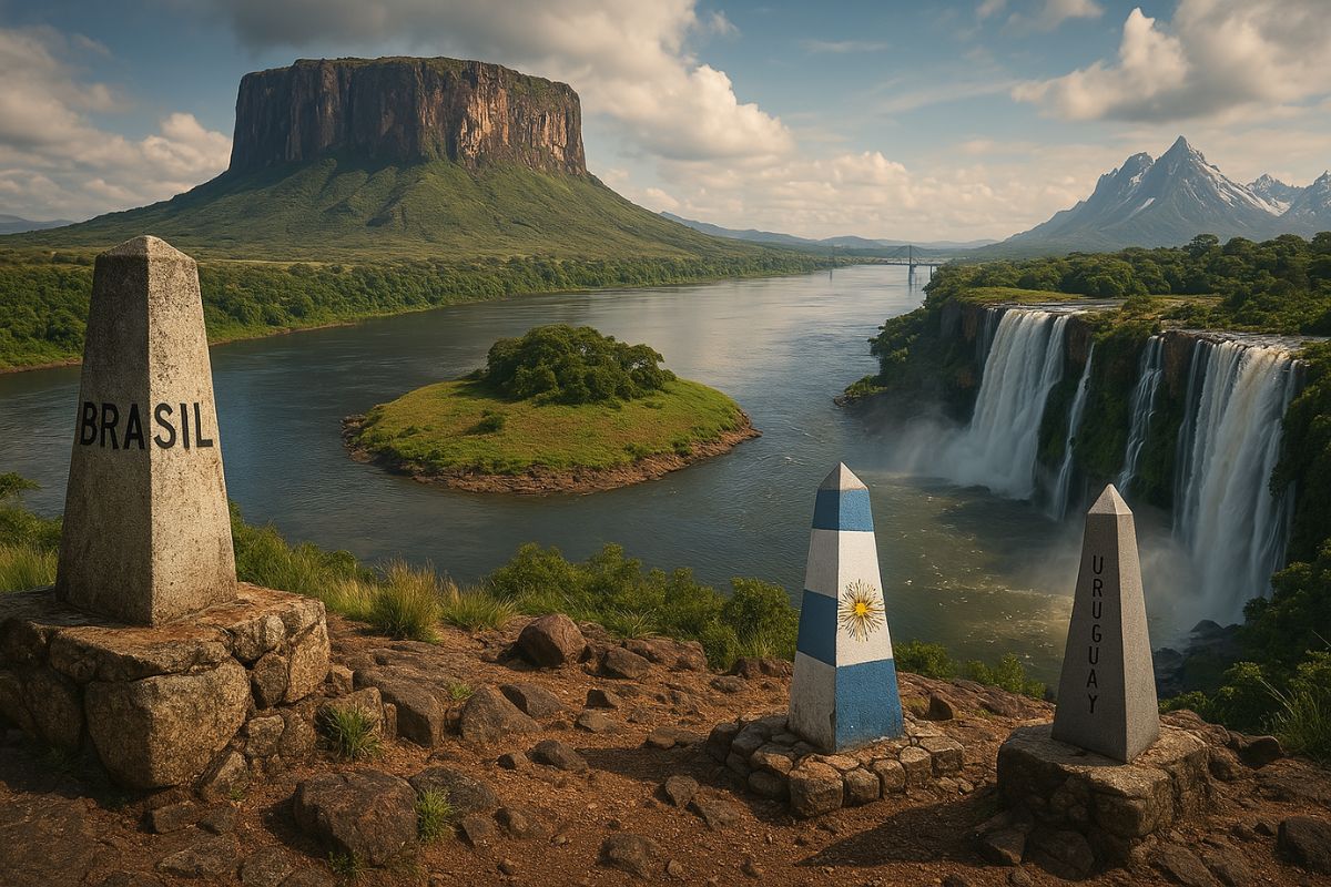
From Mount Roraima to Lake Titicaca, Through Disputes with Uruguay and Trails to Space, Understand Why the Borders of Brazil and South America Are a True Geopolitical Puzzle.
Have you ever stopped to think about how unpredictable and surreal Brazil’s borders are? Our country not only occupies almost half of South America, with its impressive 48% of the continental territory, but also shares borders with 10 of the 12 South American countries.
And it is exactly there that things start to get strange. From ancient rock formations divided with Venezuela to the dispute over an uninhabited island with Uruguay, the Brazilian borders are a spectacle in themselves, and often, a true cartographic enigma.
Brazil in the Center of the South American Board
Among the 12 countries in South America, only Chile and Ecuador do not share a border with Brazil. The second country on this connection ranking is Argentina, with “only” five neighbors. But the title of the most intertwined country with its counterparts goes beyond maps: it gives rise to diplomatic, historical, and even geographical phenomena that challenge logic.
-
Oil surged to $115 a barrel due to the war in the Middle East, and diesel in Brazil has already risen to R$ 7.45 per liter, while the United States…

-
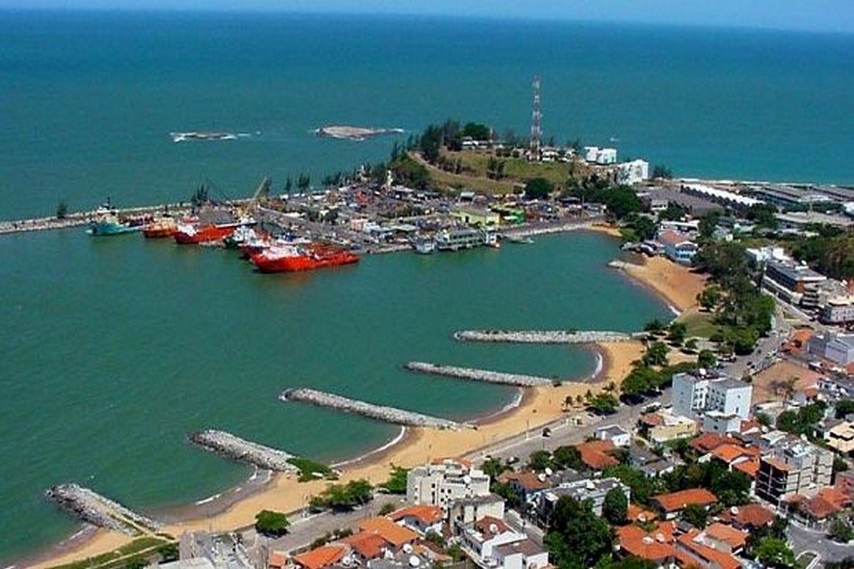
Brazilian city bets on the business environment to generate jobs and attract investments in the energy sector — secretary reveals strategy at Macaé Energy 2026.
-
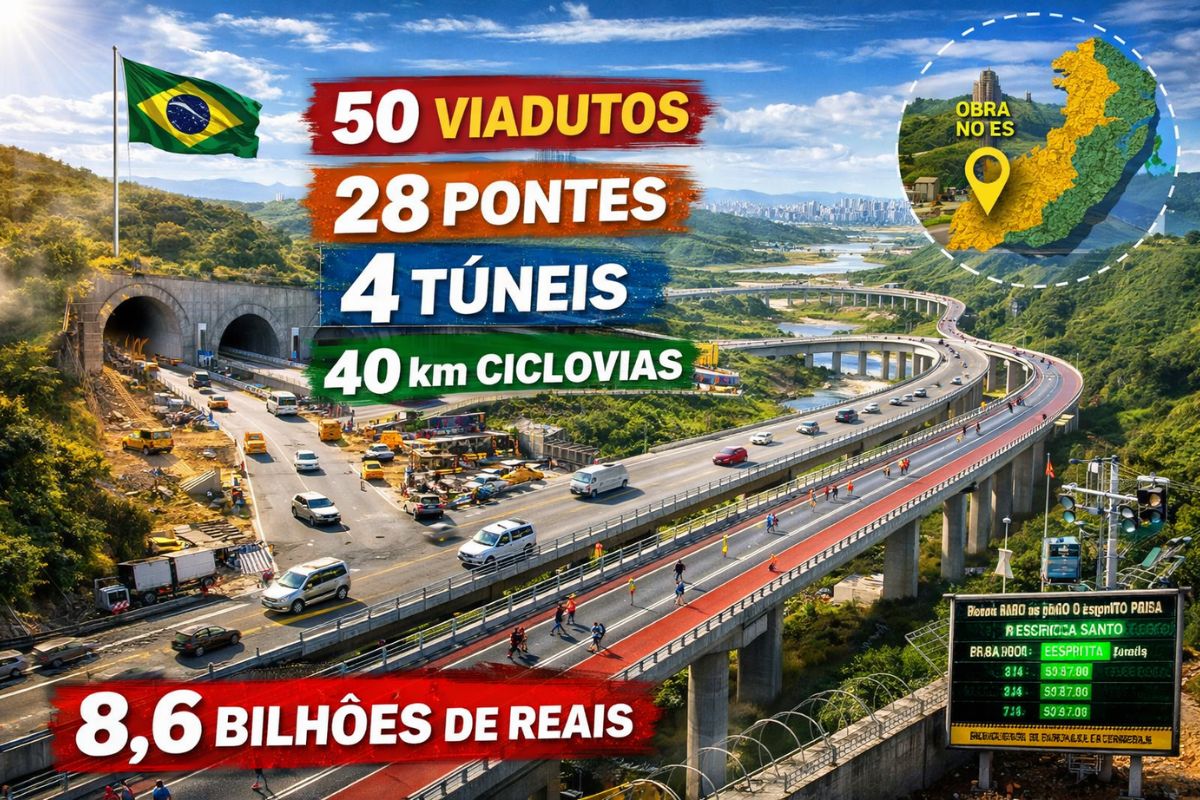
50 viaducts, 4 tunnels, 28 bridges, and 40 kilometers of bike paths: BR-262 in Espírito Santo will receive 8.6 billion reais for the largest engineering project in the state’s history, inspired by the Immigrant Highway in São Paulo.
-
Brazil produces too much clean energy and doesn’t know what to do with it: over 20% of solar and wind capacity was wasted in 2025 while investors flee and 509 renewable generation projects were abandoned in the last year.


In the far north, for example, is Mount Roraima, a surreal table-shaped rock formation located precisely at the triple border between Brazil, Venezuela, and Guyana. At the triple border with Bolivia and Paraguay, things take a geopolitical turn: in 1903, Brazil ceded a piece of territory to Bolivia to guarantee the landlocked nation access to the Paraguay River, a detail that created a bizarre triangular tip on the map, today practically unused due to a lack of Bolivian infrastructure.
Disputed Islands, Rivers That Change Countries, and Relics of the Empire
In the south, Brazil has been disputing possession of a small island in the Quaraí River with Uruguay since the 19th century. The curious thing is that no one lives there, but the symbolic value is huge. A Brazilian imperial milestone from 1862 is still planted on the island, as if time had frozen the dispute.
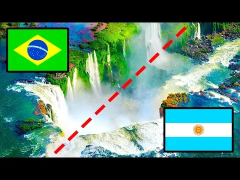
At the point where Brazil, Argentina, and Paraguay meet, the famous triple border in Foz do Iguaçu, in addition to being one of the largest commercial hubs in South America, also has a forgotten piece of history: the Iguaçu Falls, now a Brazilian heritage, were once Paraguayan territory. But the Treaty of Madrid of 1750 and, later, Paraguay’s defeat in the Triple Alliance War reshaped this reality.
Colonial Legacies and Floating Borders
On the eastern side of the map, French Guiana still belongs to France, keeping a European presence alive in South America. And it doesn’t stop there: in Maranhão, where the French tried to create the “Equinoctial France” in 1612, is now the Alcântara launch base, one of the most strategic points in the world for rocket launches, thanks to its proximity to the equator.
Further north on the continent, the border between Bolivia and Peru holds a watery secret. In Lake Titicaca, floating islands made of aquatic plants move with the currents, confusing authorities and generating diplomatic tensions; fishermen have been arrested for “invasion” without even realizing they were crossing an invisible border.
When War Almost Broke Out Over Islands
In the southernmost part of South America, Chile and Argentina came close to an armed conflict over the possession of islands in the Beagle Channel. In 1977, Queen Elizabeth II decided that the islands would belong to Chile. Argentina, under military rule, rejected the decision and prepared an invasion, only interrupted after intervention from Pope John Paul II, who mediated the Treaty of Peace and Friendship in 1984.
Galápagos and the Frontiers of Evolution
Finally, the Galápagos Islands, which belong to Ecuador, are the final chapter (and perhaps the most fascinating) of this journey through South American borders. A thousand kilometers off the coast, the volcanic archipelago inspired Darwin’s theory of evolution and is home to species that do not exist anywhere else on the planet.
And you? Did you have any idea that Brazil is surrounded by so many bizarre and decisive stories?


Seja o primeiro a reagir!