 Portuguese
  English
  Spanish
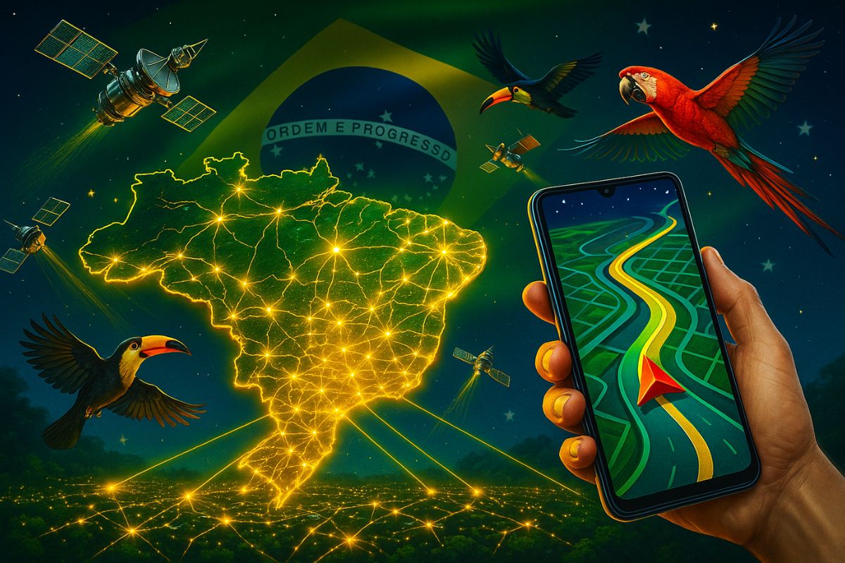


Government Announces Plan to Develop GPBrás, National Positioning System Aiming to Reduce Dependence on American GPS and Strengthen Sectors Such as Agriculture and Defense
The federal government announced the creation of a working group to develop GPBrás, Brazil’s first satellite positioning system. The proposal, revealed in July 2025, aims to guarantee technological sovereignty and reduce dependence on the United States GPS, especially in critical areas such as agriculture, mining, defense, and logistics.
According to the Ministry of Science, Technology, and Innovation (MCTI), the project will be developed over the next decade, based on the existing infrastructure of the Brazilian Continuous Monitoring Network (RBMC), managed by IBGE. The initiative has been gaining attention following trade sanctions and strategic warnings about the fragility of relying solely on foreign systems.
GPBrás Could Transform Vital Sectors of the Economy
The announcement that Brazil wants to create its own GPS has reignited the debate on technological sovereignty in the country. The GPBrás proposal is similar to systems such as Galileo (European Union), BeiDou (China), and GLONASS (Russia), which were developed to ensure independence in times of global crises.
-
The coldest seawater ever recorded in Earth’s history was hidden under extreme ice 717 million years ago and reached an impressive -15°C.

-
China has launched the world’s first floating artificial island, a scientific structure designed to face open seas, test equipment weighing hundreds of tons, and reach depths of 10,000 meters.

-
China accelerates global science and may surpass the United States in 2 years with increased public investment, continuous growth, and direct impact on the global technological competition.

-
Scientific studies indicate that drought may be strengthening a much greater silent threat: more resistant superbugs.


The impact on the agricultural sector is direct: 75% of Brazilian agriculture depends on GPS for precision planting and harvesting. In the event of failure or restriction of the American system, the losses could exceed R$ 100 billion per year, according to sector estimates. The same applies to mining, aviation, and cargo transport, which also operate based on positioning data.
High Costs and Long Timeline Generate Criticism
Despite the benefits, the plan for Brazil to create its own GPS faces resistance. Experts warn of the high cost—estimated at up to R$ 300 billion—and the development timeline, which could exceed 10 years. Critics fear the creation of a new state-owned company and the risks of mismanagement of public resources.
On social media, the project was the target of satire and memes, with users mocking the supposed slowness and potential political use. Still, the government maintains that the initiative is strategic for the country’s future, especially in the face of increasing geopolitical instability and the global race for space autonomy.
Brazil Already Has Technical Basis for the Project
The country is not starting from scratch. Since 1997, the RBMC has monitored the territory with more than 150 tracking stations. The Brazilian Space Agency (AEB) and INPE also have decades of experience with satellites, especially in partnerships with China, such as the CBERS program.
The new system could integrate geostationary satellites such as CBERS-5 (scheduled for 2028) and technologies from companies like Visiona (Embraer + Telebras). Moreover, the combined use with 5G networks could enhance precision and enable applications with artificial intelligence, such as automated agriculture and real-time environmental monitoring.
What to Expect from GPBrás in the Coming Years
In the next six months, the working group is expected to present an initial feasibility report. A satellite prototype is planned for the next five years. If successful, the project could create jobs, attract investments, and place Brazil among the few countries with its own navigation system.
For the general population, the impact will be gradual. Most cell phones already use receivers compatible with multiple systems (GPS, Galileo, BeiDou), but GPBrás could benefit remote regions, industrial sectors, and disaster response, such as floods and wildfires.
Do you think Brazil should invest in its own GPS system or should this money be used in other areas? Comment below and share your opinion.


O investimento em tecnologia estratégica pode parecer injustificada a curto prazo, mas devido as crescentes crises globais creio que será de extrema importância ao longo prazo e poderá nos transformar em polo tecnológico no futuro próximo, atraindo ainda mais investimentos.
Apoiado. GPS Brasileiro. Terras raras também, para os Brasileiros.
Nossas riquezas, para o nosso desenvolvimento.
O Governo brasileiro está certo de termos nosso GPS “GPBras” Será um grande avanço a independência, chega de sermos tratados como Zé mané. Temos potencial pra isso e de sobra, o mundo já está enxergando o Brasil, diferente, moderno e criando suas próprias tecnologias. Estamos nos saindo bem… Já temos aeronaves, mísseis, navios e agora é a hora do nosso Próprio GPS… GPBras . Somos Grandes só precisamos Abrir os Olhos e mostrar que Somos soberanos, inovador.