 Portuguese
  English
  Spanish
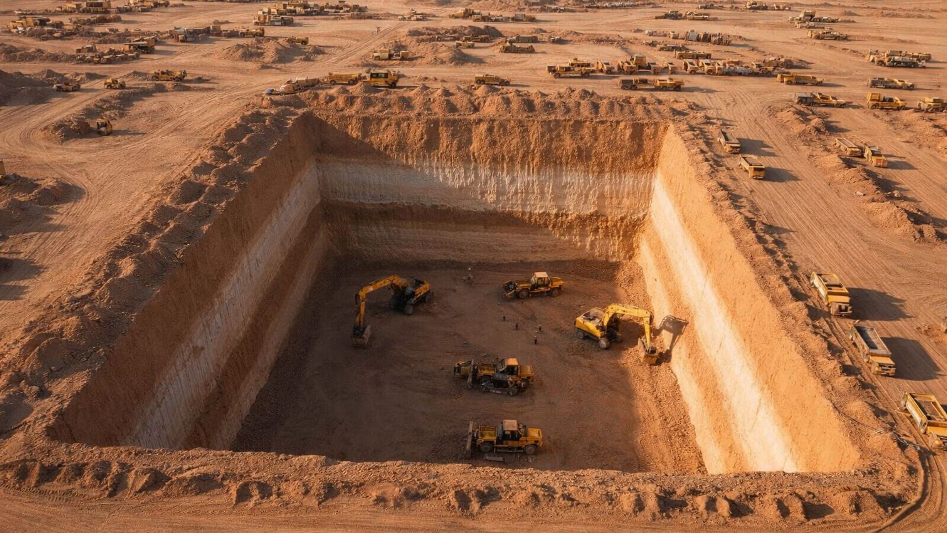


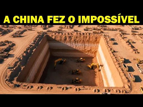
Chinese Project Combines Dune Control, Reforestation, and Solar Energy in Extreme Region of Taklamakan Desert, with Environmental, Logistical, and Scientific Impacts Monitored for Decades by Authorities and Researchers.
China has been promoting, for decades, a broad environmental intervention in areas of the Taklamakan Desert, in the Xinjiang region, combining dune control techniques, the planting of vegetation adapted to extreme conditions, and irrigation systems associated with local infrastructure.
The actions are part of a national program launched in 1978 to combat desertification in the northern part of the country, often referred to as the “Great Green Wall,” with a projected completion date of 2050.
In the Taklamakan, considered one of the largest sand deserts in the world, the focus has been on creating vegetation strips aimed at stabilizing the soil and protecting roads, pipelines, and human settlements.
-
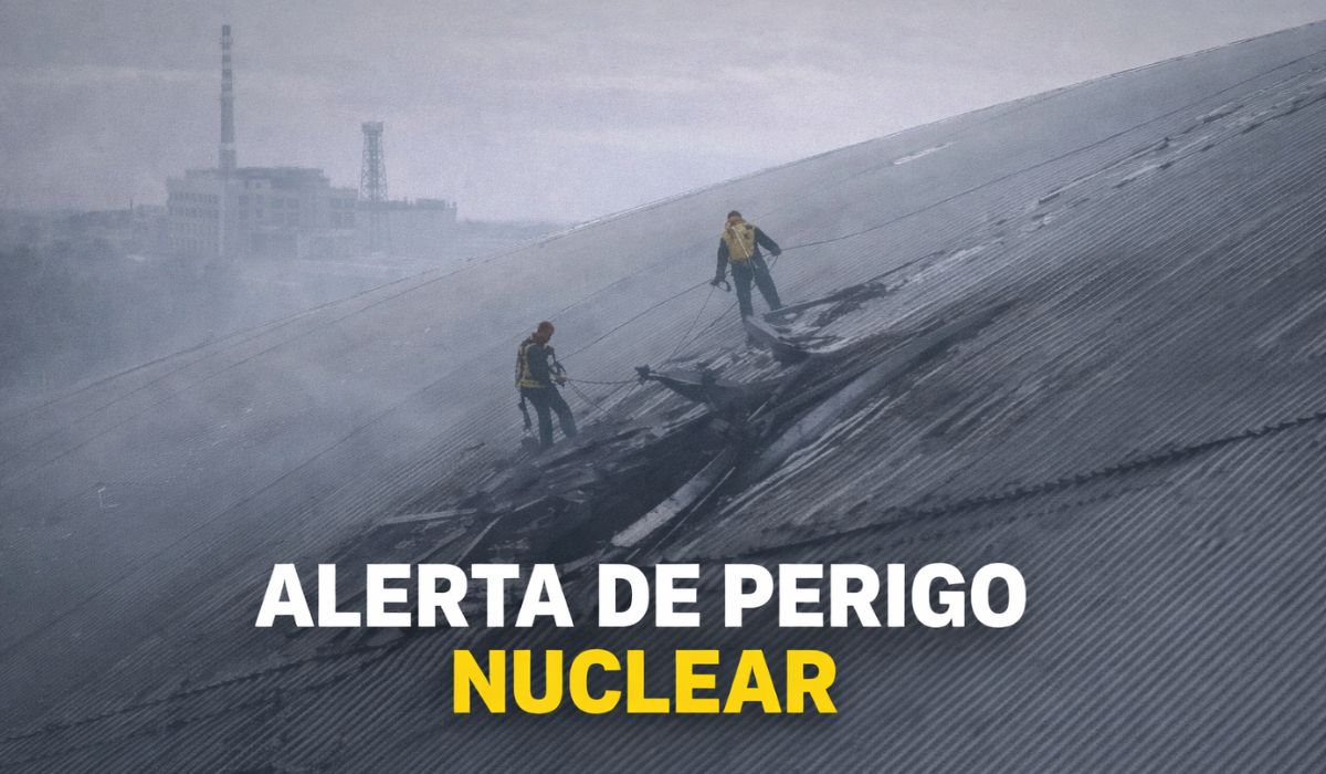
The gigantic steel shell built to contain Chernobyl for a century has been pierced by a drone, exposing a critical system and creating a hole that could cost over 500 million euros to repair.
-
Brazilian Navy reaches a new level by taking over an airport with a 1,600-meter runway used by 1,800 military personnel and autonomous attack drone testing.

-
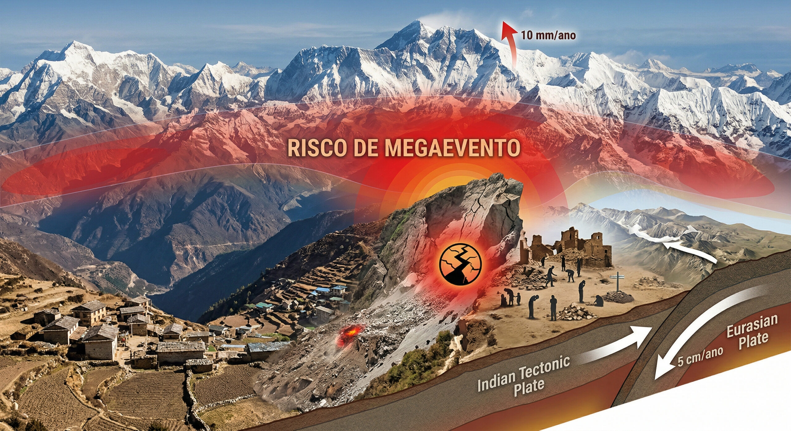
The Himalayas continue to grow to this day, with tectonic plates advancing 5 cm per year, mountains rising up to 10 mm annually, and the 2015 earthquake that killed 9,000 people may have increased the risk of an even larger seismic mega-event.
-
At an altitude of 400 km by astronauts from the International Space Station, Paris transforms at night into a golden mesh so precise that it reveals the outline of the Seine River, avenues, and entire neighborhoods like a luminous map drawn over the Earth.


In November, state media and international agencies reported the completion of a green belt approximately 3,000 kilometers around the desert, resulting from successive planting and environmental management stages carried out over several decades.
Extreme Conditions of the Taklamakan Desert and Environmental Planning
The Taklamakan is known for high summer temperatures, intense cold in winter, and frequent sandstorms.
These factors complicate both human settlement and infrastructure projects, making the establishment of vegetation dependent on constant interventions.
In light of this scenario, the Chinese government has begun to adopt long-term policies aimed at revegetation and dune control, coordinated with other environmental programs.
The so-called Three Norths Forest Shelterbelt Program aims to reduce soil erosion and decrease dust propagation toward urban centers, especially in the northern part of the country.
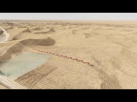
Chessboard Technique with Straw for Dune Stabilization
Among the techniques used is the method known as the straw “chessboard” technique.
In this system, bundles of the material are partially buried in the sand, forming grids that reduce wind velocity at ground level.
The procedure helps to stabilize moving dunes and create initial conditions for planting drought-resistant seedlings and shrubs.
According to technical studies widely cited in Chinese literature, straw also helps with the temporary retention of moisture.
As it decomposes, the material increases the organic matter content of the topsoil.
This process is considered a preliminary step before introducing plant species adapted to arid environments.
Desert Highway and Green Protection Belt
One of the most well-known projects in the region is the highway that crosses the Taklamakan Desert, linking areas to the north and south of the Tarim Basin.
The road began construction in 1993 and was inaugurated in 1995, significantly reducing transportation distances in the region.
Official sources describe the main axis as having about 522 kilometers in length, although larger numbers appear when additional segments are included.
Over time, it became clear that the asphalt, on its own, would not be sufficient to withstand the advance of the dunes.
For this reason, a plant protection belt was implemented along the route.
Academic research describes this green corridor as a continuous strip of approximately 436 kilometers, created to reduce the burying of the road and decrease maintenance costs.
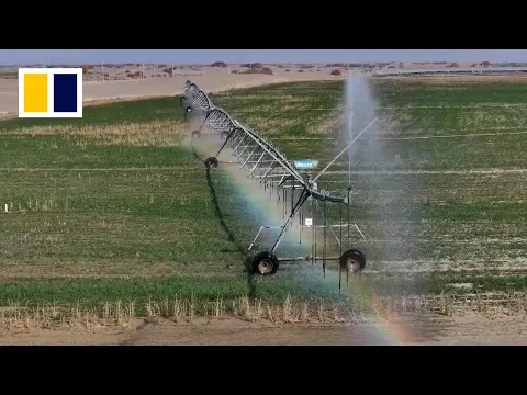
Irrigation in the Desert and Water Challenges
The presence of vegetation in such a dry environment depends on regular irrigation, which has led to the drilling of wells and the installation of underground drip systems.
Scientific studies on the Taklamakan belt indicate the existence of over a hundred wells used for this purpose, with various energy sources over time.
According to these surveys, part of the pumping is done using solar panels.
Other sections still depend on grid electricity or diesel engines, especially in earlier phases of the project.
Researchers emphasize that the system is not homogeneous from an energy standpoint, despite the gradual advancement of renewable solutions.
The availability of water is also pointed out as one of the main sensitive points of the project.
Scientific articles analyze the use of groundwater with high salinity levels.
The studies discuss the effects of this resource on the soil and on the sustainability of vegetation in the long term.
Studies indicate that the model may work, as long as there is constant monitoring to prevent excessive salinization and depletion of the aquifer.
Solar Energy in Northwest China and Project Association
Popular narratives about the Taklamakan often associate the transformation of the desert with large solar power plants with central towers, movable mirrors, and thermal storage in molten salt heated to about 540 °C.
There are projects of this type in operation or testing in northwest China, with power around 50 megawatts, according to international energy sector databases.
However, the available public documentation does not confirm that these specific plants are located exactly within the Taklamakan.
There is also no confirmation that they are directly part of the irrigation system of the green belt along the Tarim highway.
Energy experts note that promotional materials often combine information from different projects, located in various arid regions, under one narrative.
Official Data on Reforestation and Vegetation Cover in China
Despite inaccuracies present in some simplified versions of the topic, there are widely publicized figures from official sources and international organizations regarding forest expansion in China.
Recent reports indicate that the country has planted trees on an scale of tens of millions of hectares since the late 1970s.
According to balances cited by international agencies, China’s forest cover increased from about 10% in 1949 to over 25% by the end of 2023.
In the specific case of the Taklamakan, authorities highlight the green belt around the desert as part of the strategy to combat desertification and protect sensitive areas.
Environmental Criticism and Monoculture Risks
At the same time, researchers and environmentalists have pointed out limitations in these large-scale reforestation projects.
One recurrent criticism pertains to the use of few fast-growing species.
According to experts, this choice can increase vulnerability to pests, diseases, and extreme weather events.
Other studies emphasize that in extremely arid regions, intensive planting may require water volumes that are difficult to sustain in the long term.
In the case of the Taklamakan belt, academic analyses discuss the balance between stabilizing dunes and the potential impacts on groundwater resources.
Researchers indicate that the benefits and risks need to be continually assessed as the project progresses.


Chinese research and development at its best, always ahead of others on technology 👌
Wonderful idea if that’s potentially implementable. We are also working for a programme shouldn’t be as challenging as this, in a different area cover alpine and subalpine trees.
That’s a nice idea,improve your own resources, and refrain from invading others land