 Portuguese
  English
  Spanish
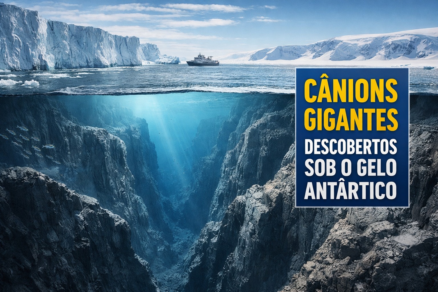
International Research Maps Antarctic Seabed, Identifies Canyons Up to 4,000 Meters, Explains Regional Geological Differences and Shows How Submarine Relief Influences Oceanic Currents, Ice Melting, and Climatic Models
The Antarctic, traditionally associated with ice and isolation, had its seabed revealed by a recent study that identified hundreds of deep underwater canyons, structures that connect the ice to the deep ocean and directly influence the global climate system.
The work was published in the journal Marine Geology and conducted by David Amblàs from the University of Barcelona and Riccardo Arosio from University College Cork.
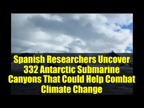
The research mapped 332 systems of underwater canyons distributed around the Antarctic continent.
-
The Moon has essential rare earth minerals for 99% of the electronics you use in your daily life and a future fuel that is almost nonexistent on Earth: now the race to explore the satellite has turned into a global competition among more than 70 countries.

-
Scientists reveal an impossible artifact for its time made with iron from space, and the discovery reignites a historical debate about the Bronze Age in China.

-
The humanoid robot G1 has gained a new digital brain that has transformed it into a true domestic worker: it learns by observing the environment, interprets objectives, and executes complete tasks without receiving step-by-step instructions.

-
They seemed like common bones, but scientists were surprised to find a relic over 12,000 years old that dates back to before the Bronze Age.

This number is much higher than previous estimates and indicates that the submerged relief of Antarctica is significantly more complex than scientists previously thought.
Some of these canyons exceed 4,000 meters in depth, reaching dimensions comparable to the largest ocean formations known in other regions of the planet.
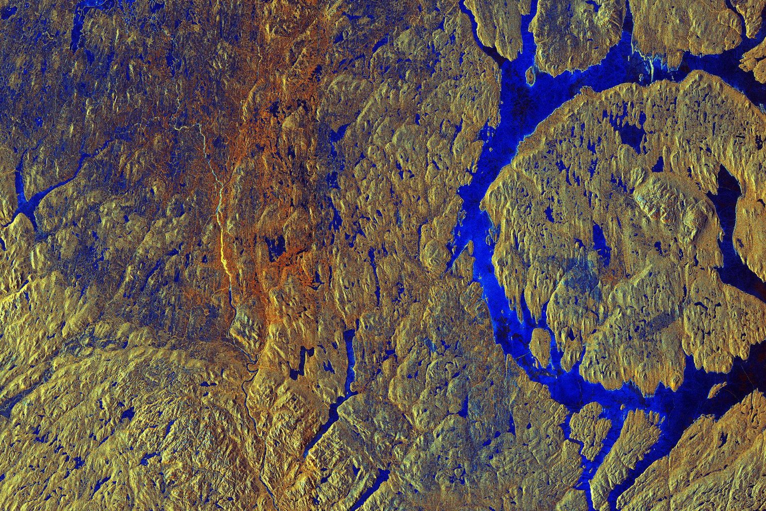
The breakthrough was made possible by using IBCSO v2, the International Bathymetric Chart of the Southern Ocean, considered the most detailed bathymetric model ever produced for areas south of the 50°S parallel.
The model has a resolution of 500 by 500 meters, allowing for the identification of features that previously appeared distorted, incomplete, or simply invisible on older maps.
Marked Contrasts Between Eastern and Western Antarctica
The analysis revealed clear differences between the two major regions of the continent. In Eastern Antarctica, long, extensive, branching canyons with gentle slopes prevail along the submarine relief.
This morphology is consistent with ancient and prolonged glacial activity capable of sculpting the seabed for millions of years and transporting large volumes of sediment.
In contrast, the identified canyons in Western Antarctica are shorter, with steep slopes and simple shapes, suggesting a more recent and dynamic geological development.
These differences reinforce a hypothesis previously discussed based on sedimentary records, indicating greater age and stability of the eastern ice sheet compared to the western one.
Now, this distinction is directly recorded in the geomorphology of the seabed, offering new evidence about the evolution of the continent.
Canyons as Corridors Between Ice and Deep Ocean
More than geological structures, underwater canyons function as natural corridors between the continental shelf and the deep ocean, facilitating essential flows to the terrestrial system.
They enable the efficient transport of sediments, nutrients, and water masses that play a central role in global oceanic and climatic dynamics.
A key process associated with these structures is the formation of Antarctic Bottom Water, considered one of the coldest and densest water masses on the planet.
This water spreads across the world’s oceans and integrates into the so-called oceanic conveyor belt, responsible for redistributing heat and influencing climate on a planetary scale.
Without the presence of these canyons, the exchange between shallow and deep waters would be significantly less efficient, affecting global ocean circulation.
Submarine Relief and Ice Melting
The authors also highlight that the topography of the seabed can channel the entry of relatively warmer waters towards the bases of ice sheets.
Currents such as the Circumpolar Deep Water can reach sensitive areas, depending on the presence of deep canyons or submerged thresholds along the relief.
In vulnerable regions, such as around the Amundsen Sea, this process can intensify basal melting of glaciers and weaken structures that support the continental ice.
Small topographic variations, such as a deeper canyon or a specific drop, can have disproportionate impacts on the contact between warm water and ice.
Implications for Climatic Models
The study points out a relevant limitation of current climatic and oceanographic models, which often oversimplify or misrepresent submarine topography.
Without detailed maps, these simulations fail to capture fundamental mechanisms of ocean circulation, compromising more accurate climate projections.
Therefore, the authors advocate for an expansion of high-resolution bathymetric mapping in still unexplored areas of the Antarctic Ocean.
Currently, even with technological advances, only a fraction of the global seabed has been mapped with this level of detail.
The identification of the 332 canyons reinforces the finding that vast areas of the planet remain poorly understood, despite their climatic importance.
Under the ice of Antarctica, the marine relief holds clues about the geological past, the current climatic functioning, and possible future scenarios for sea level rise.
With information from Gizmodo.


-

-

-

-

-

-

35 pessoas reagiram a isso.