 Portuguese
  English
  Spanish
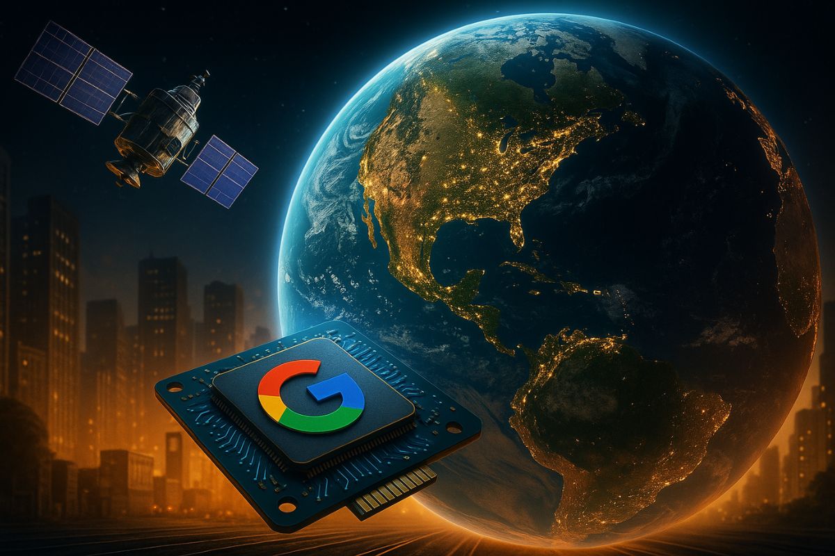
AlphaEarth Foundations Integrates Geospatial Data and Helps Monitor Deforestation, Climate, and Food Security in Real Time
The mapping of the Earth is set to enter a new era with the launch of AlphaEarth Foundations, an artificial intelligence model presented by Google. The technology combines optical satellite images, radar, laser mapping, and climate simulations to generate dynamic and accurate maps of 10×10 meter areas, with much greater speed and lower computational costs.
According to an official statement from the tech giant, the model reduces storage space requirements by up to 16 times, facilitating analyses on a planetary scale. The proposal is to provide governments, scientists, and environmental organizations with a unified platform for strategic decisions regarding deforestation, food security, urban growth, and natural resource management.
How the New Google Model Works
The AlphaEarth Foundations processes petabytes of geospatial data into an integrated representation, practically in real time. This means that it is possible to monitor environmental changes with high precision, such as the advancement of agriculture, wildfires, droughts, and floods, using a single intelligent database.
-
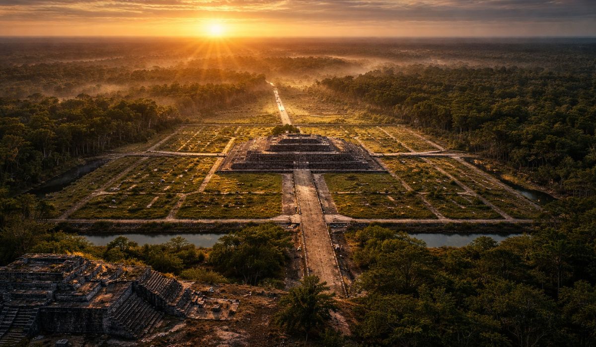
In Mexico, a 3,000-year-old Maya site with the dimensions of an entire city may have been built as a colossal map of the cosmos, created to represent the order of the universe and reveal how this people organized space, time, and rituals.
-
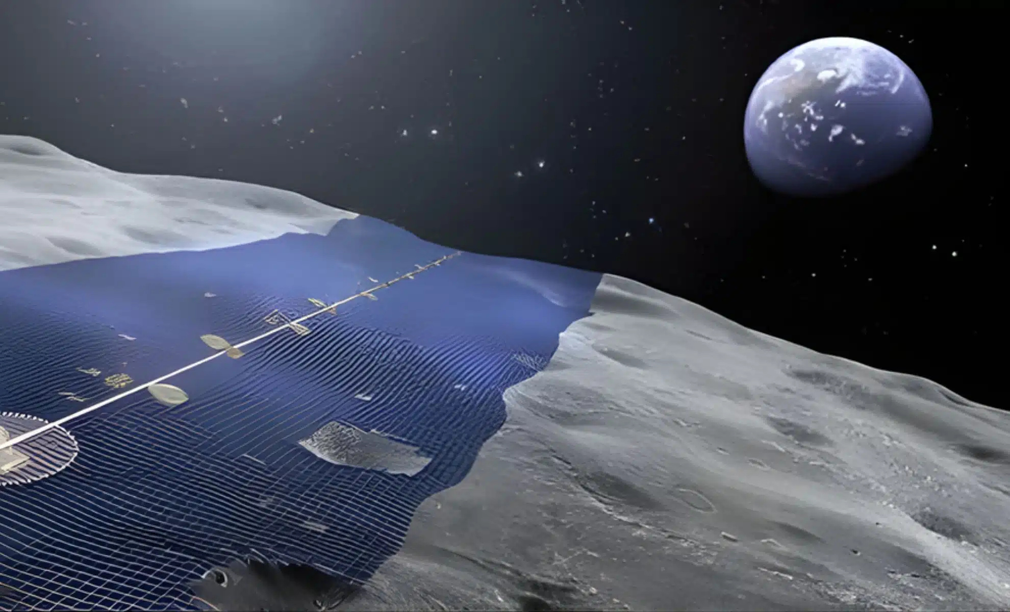
Japan wants to build a solar ring of 10,900 kilometers on the Moon to continuously send energy to Earth.
-
Weighing almost 1 ton, with temperatures of up to 3,000°C, the ability to launch 10,000 fragments within a radius of 1 km, capable of penetrating concrete and melting steel, Turkey’s terrifying bomb emerges as one of the most destructive non-nuclear weapons ever presented.

-
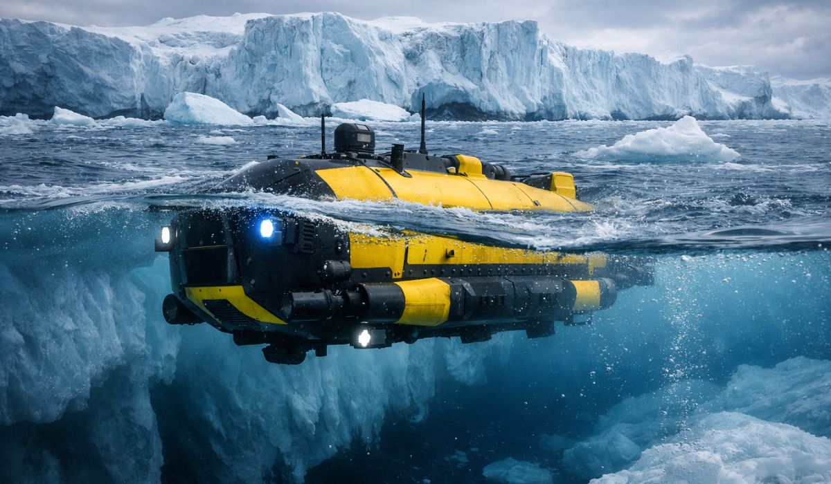
After a submarine disappeared beneath the “Doomsday Glacier,” scientists announce a new monstrous machine capable of operating at 3,000 meters depth to return to the heart of the ice and investigate a threat that could raise sea levels worldwide.

The technology was designed to function as a “virtual satellite”, capable of showing the Earth’s surface in rich detail and updating information as new data is collected. Google’s proposal is to make global mapping more accessible, faster, and more efficient, even in countries with limited technological infrastructure.
Practical Applications and Global Impact
Among the first beneficiaries is Brazil, where the NGO MapBiomas already uses the AlphaEarth Foundations to track changes in land use and formulate conservation strategies for the Amazon and other critical biomes. According to Tasso Azevedo, founder of the initiative, the model allows for the production of more accurate, faster, and reliable maps, something previously impossible with traditional systems.
Additionally, the artificial intelligence is already used by entities such as FAO (UN), Harvard Forest, Oregon State University, Stanford, and the Group on Earth Observations. Applications range from landslide prevention to crop health analysis and monitoring water levels in vulnerable regions.
Cost Reduction and Scaling Potential
One of the most relevant technical differences of AlphaEarth Foundations lies in its data usage optimization, which dramatically reduces operational costs for massive analyses. The storage savings make it possible to implement monitoring systems even in remote locations or with low connectivity, expanding the reach of the technology.
Furthermore, as a cloud platform, the model can be accessed by different teams around the world, promoting collaboration among governments, researchers, and NGOs, with constant updates and on-demand visualizations.
What Changes with AlphaEarth Foundations?
Google’s promise is to transform the way we see the planet: instead of static and outdated images, the world is represented by live, interactive, and constantly changing models. For those involved in environmental management, urban planning, agriculture, or disaster response, this could represent a leap of decades in efficiency and precision.
Do you believe that this new technology from Google can improve environmental monitoring in Brazil? Does the use of artificial intelligence at this level raise concerns or provide more security? Leave your opinion in the comments — we want to hear from those closely following the topic.


Seja o primeiro a reagir!