 Portuguese
  English
  Spanish
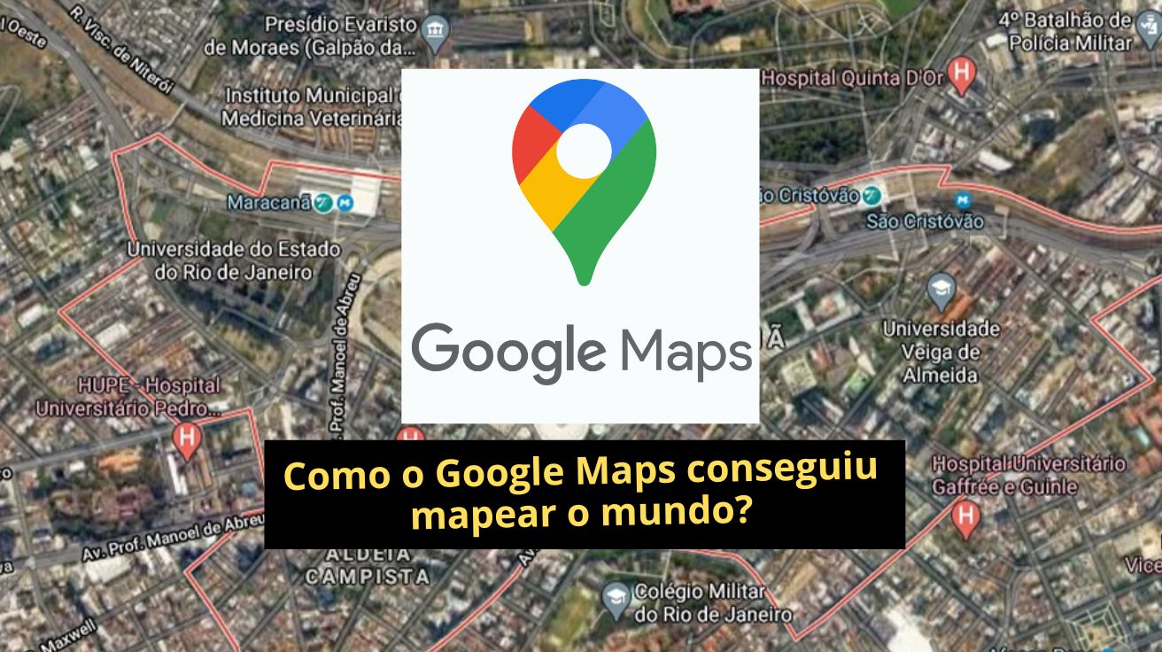
Discover How Technology, Artificial Intelligence, and Global Collaboration Transformed Google Maps Into an Essential Tool, Capable of Mapping Inaccessible Places and Providing Accurate Data That Goes Far Beyond Simple Digital Navigation.
Since its launch in 2005, Google Maps has revolutionized the way we navigate the planet, becoming indispensable for millions of people daily.
But do you know how this powerful tool managed to map nearly every corner of the world?
The process is the result of a complex combination of technology, innovation, and continuous data collection and updating efforts, which include everything from cars equipped with sophisticated cameras to direct contributions from users themselves.
-
He started running at 66 years old, broke records at 82, and is now a subject of study for having a metabolic age comparable to that of a 20-year-old, in a case that is intriguing scientists and inspiring the world.

-
Oldest tree on the planet reappears after 130 years of searches: Wattieza, 385 million years old, was 10 meters tall and had no leaves or seeds; Gilboa fossils in New York solved the mystery in 2007.

-
A 48-square-meter house assembled in hours with 4,000 bricks made of recycled plastic that does not absorb moisture, has natural thermal insulation, and costs less than 90,000 reais in a complete kit.

-
Luciano Hang revealed that Havan’s air fleet has already accumulated more than 20,000 landings, 10,000 flight hours, and 6 million kilometers traveled, and he says that without the planes, the company would never have grown so quickly.


Before Google Maps, navigating through roads and cities was a challenge that required good memory, bulky paper maps, and a lot of patience.
In the early 2000s, several GPS systems emerged to ease travelers’ lives, but none reached the experience that Google would come to offer.
Google’s differential lay in leveraging advanced technologies acquired from other companies and the smooth and fast way users could navigate the online maps, even with slow internet connections.
According to experts in the field, the acquisition of Keyhole in 2004 was a pivotal milestone for the development of Maps.
Keyhole had a vast database of satellite images that allowed for impressive detailed views of the planet.
Furthermore, the purchase of Waze Technologies brought an intuitive interface that loaded maps without needing to refresh the entire page, an innovation for that time.
The Role of Street View in the Map Revolution
Google heavily invested in creating Street View, an ambitious project that involved the use of vehicles equipped with cameras weighing over 200 kilograms to photograph streets in 360 degrees.
Initially, the equipment was heavy and impractical, but over time the company developed lighter cameras, which now weigh around 7 kilograms and can be carried in backpacks, increasing mobility to capture images in hard-to-reach places.
Despite Google cars roaming the streets worldwide, there are areas they cannot reach, such as trails, remote areas, and even underwater environments.
In these cases, Google resorts to creative methods, using bicycles, motorcycles, camels, divers, and even astronauts to obtain images.
Artificial Intelligence and User Collaboration
The use of artificial intelligence (AI) is also crucial to ensure that Google Maps is always updated and accurate.
AI recognizes traffic signs, changes in streets, and new constructions captured by the cameras, correcting information and quickly integrating real-time data.
Additionally, Google heavily relies on so-called “crowd sourcing,” where users themselves contribute to enhance the maps, especially in less accessible or less developed regions.
When you use Maps, review a place, or share a route, you are helping the company keep information up-to-date and accurate.

Data That Goes Beyond Location
This monitoring goes beyond simple location.
With the enormous amount of data collected, Google can understand movement patterns, peak times at restaurants and stores, and even the demographic profile of visitors, enabling personalized recommendations for users.
How Does Google Make Money with Maps?
But after all, how does Google make money from Google Maps, a free service for users?
Although access to Maps is free, revenue mainly comes from local advertising.
Businesses pay to appear prominently in searches for restaurants, hotels, banks, and other establishments, ensuring greater visibility for potential customers.
This model generates billions of dollars annually for Google, reinforcing the value of Maps as a marketing tool and digital presence for businesses.
In addition to advertising, Google offers specific services for transportation companies, which contract solutions for fleet tracking and real-time monitoring, optimizing deliveries and reducing costs.
The Future and Relevance of Google Maps
The journey of Google Maps to become the giant we know today was long and complex, but it is precisely this combination of cutting-edge technology, constant innovation, and user collaboration that ensures its accuracy and relevance.
Now we want to hear from you: what was the most curious or unexpected experience you’ve had using Google Maps? Share in the comments!


Seja o primeiro a reagir!